Kentmere Horseshoe 6.5.2006
This day, Roger and Ann Hiley have organized a one day´s walk of members of the OFC (Online Fellwalking Club). We started our walk in the little village of Kentmere near Ambleside and walked all around the head of the Kentmere valley, left side up und right side down (as seen from Kentmere).
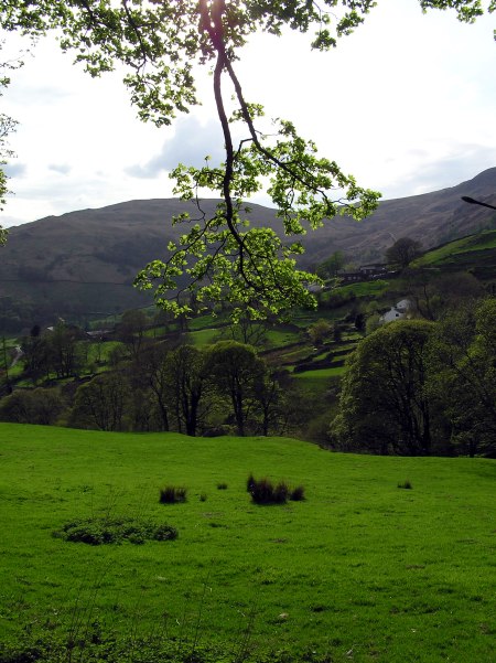
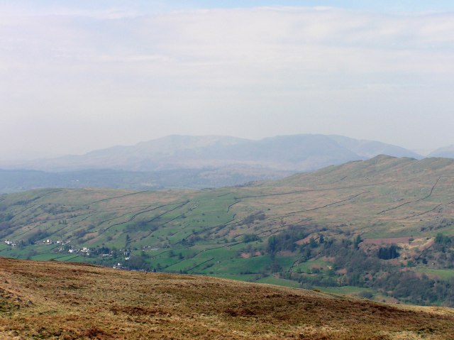
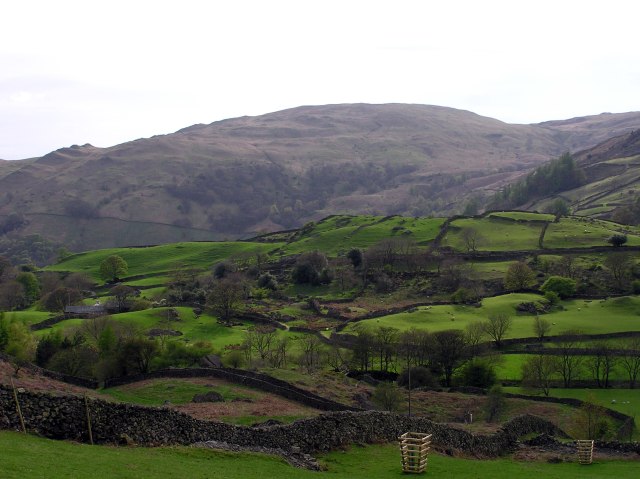
The village of Kentmere as seen from the road
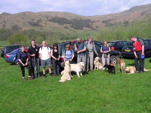
The group that walked that day, 11 people (including the fotografer) and 7 dogs. From left to right: Frances Lawrie, David Parry, Fred, Jill Rowland, Ann Hiley, Roger Hiley, Peter Rigg, Jo Hall and Stephen Siddall.
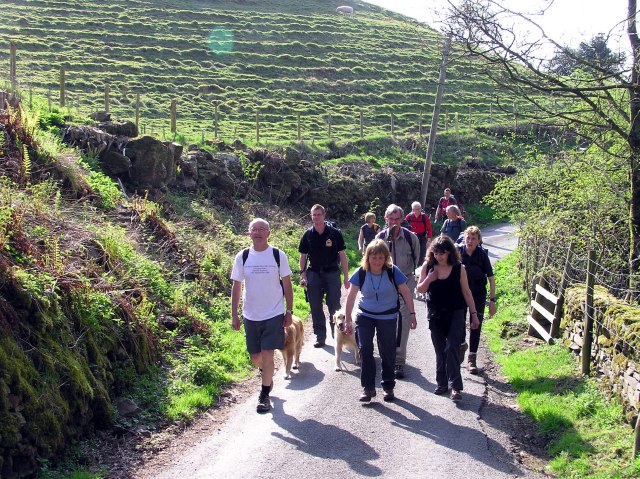
Just leaving Kentmere, in good condition still.
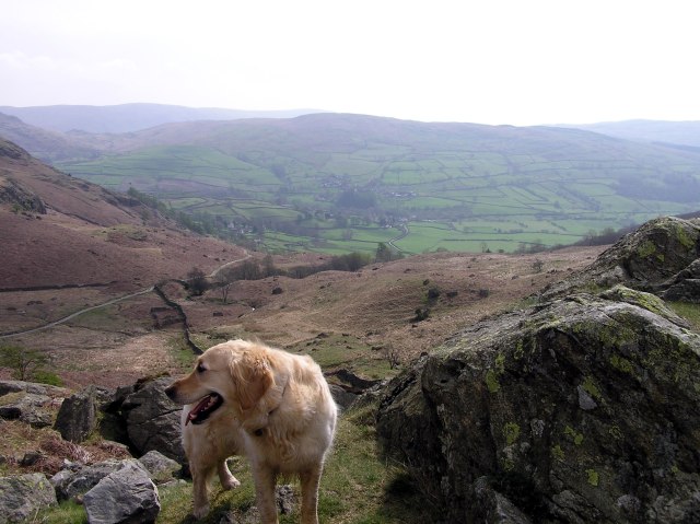
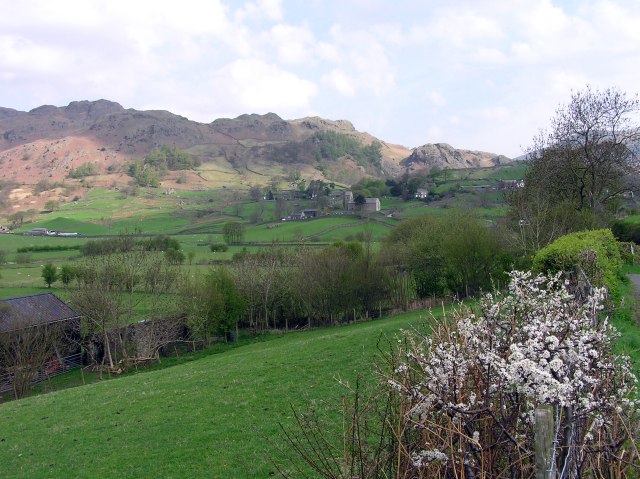
Near the Garburn Pass, looking back to Kentmere village
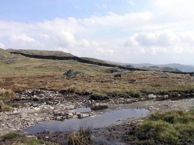
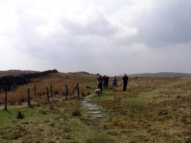
Puddles on Garburn Pass. We now turn to the right and start to walk along the ridge.
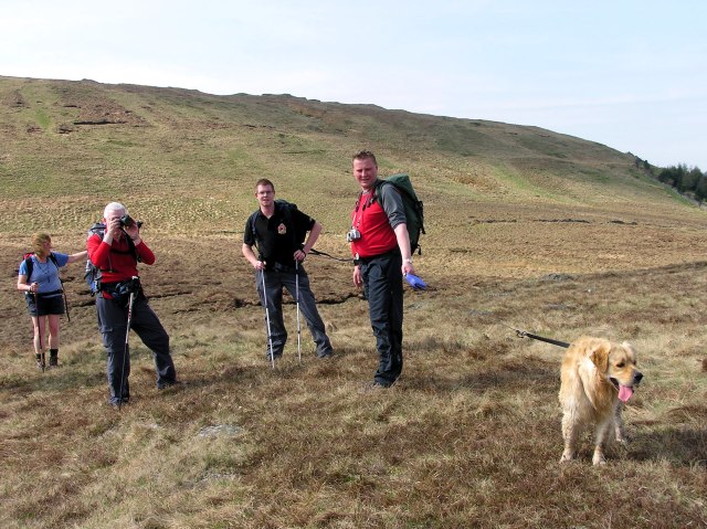
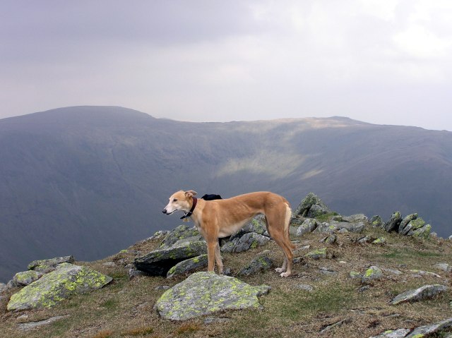
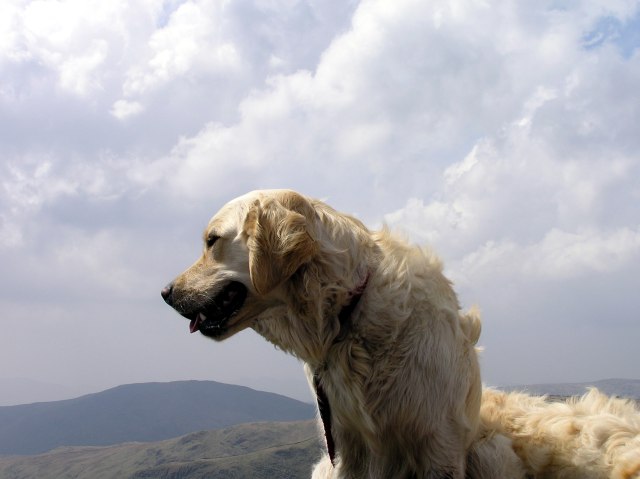
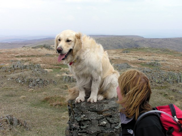
Stephen´s dog Sam had to be on the lead, because one of the other female dogs was in heat (after the walk, Stephen complained his arms to be more aching than his legs)
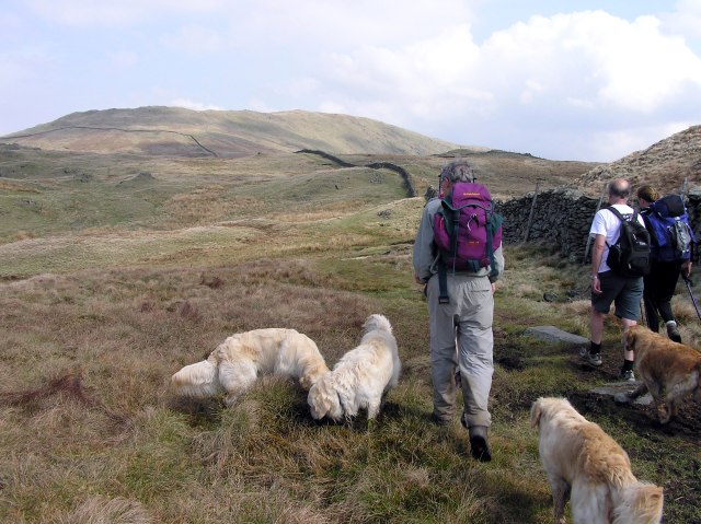
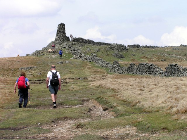
We walk along that stone wall up to our first summit, Yoke
Looking to the Coniston fells ...
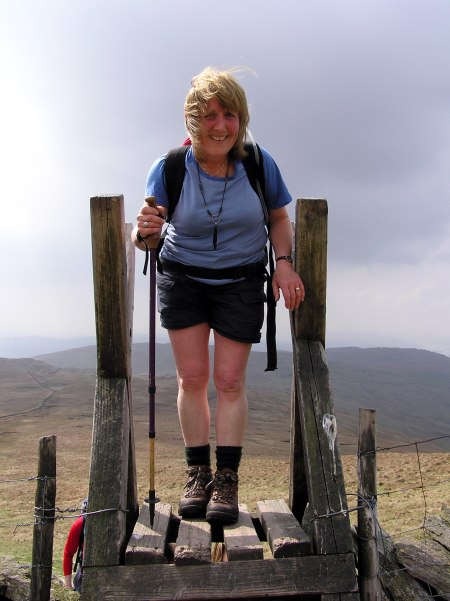
Ann just has climbedf one of the stiles.
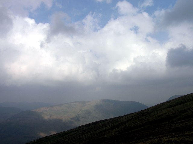
It now changes a bit to get cloudy, however producing even more interesting views.
Yoke, our first summit
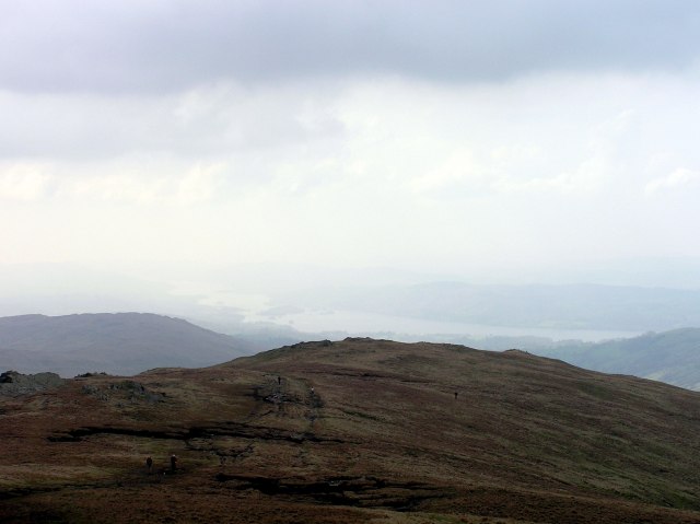
Looking down to Kentmere reservoir
On summit of Ill Bell
Looking across the Kentmere valley towards Harter Fell
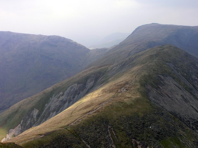
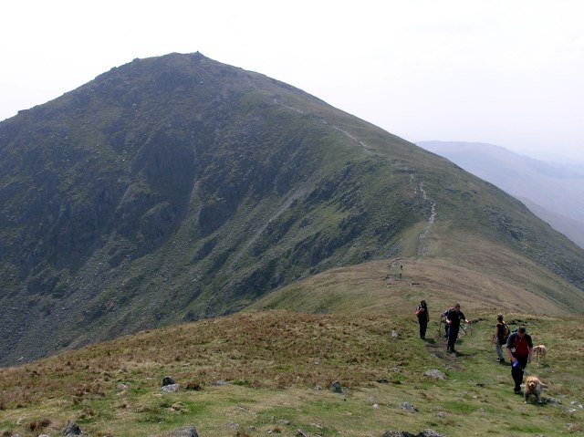
The ridge to proceed our walk, Froswick and Thornthwaite Crag behind.
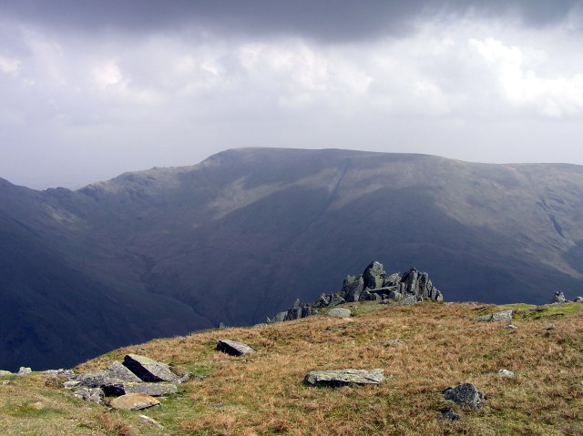
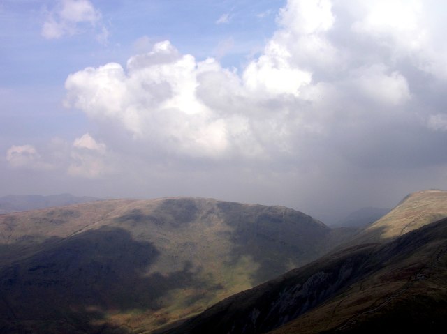
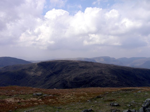
Harter Fell, as seen from Ill Bell
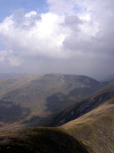
Sunshine on Stony Cove Pike
SUnshine and shadow is now changing, and ...
... the clouds ...
conjure up pretty light changes
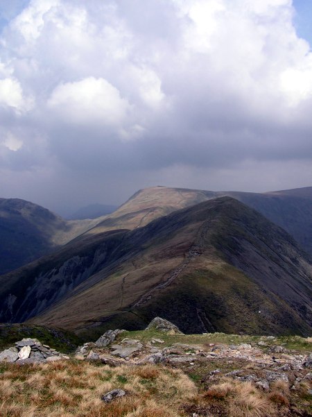
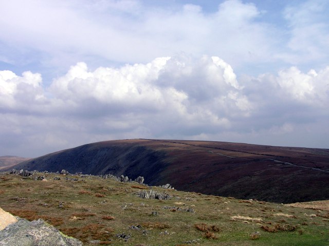
Stony Cove Pike (left) and Thornthwaite Crag (right, our next destination)
Looking back to Froswick when we ascend to Thornthwaite Crag
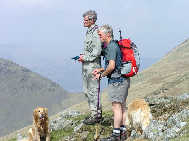
Peter and Roger
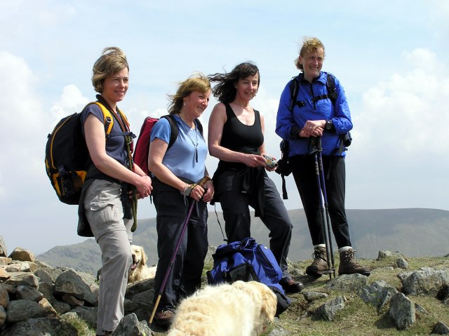
The "Girlies" on Froswick
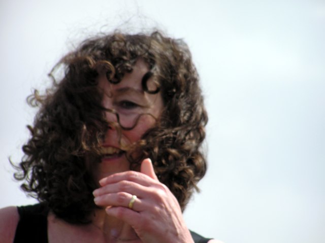
Jill has some problems with her hair in the wind.
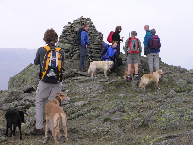
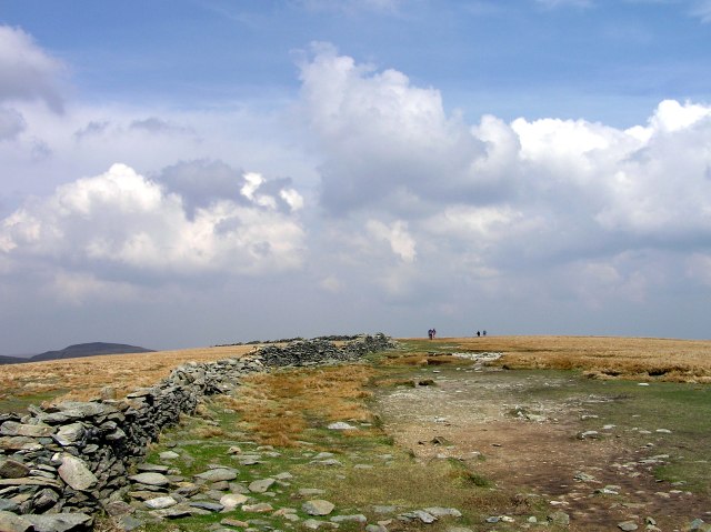
Thornthwaite Crag summit cairn. Here we have out lunch break.
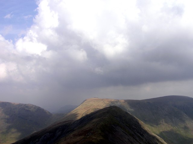
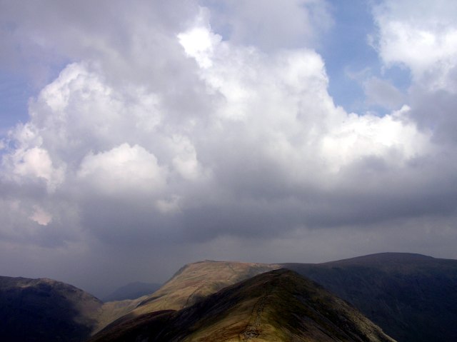
Stony Cove Pike and the Helvellyn ridge in the background
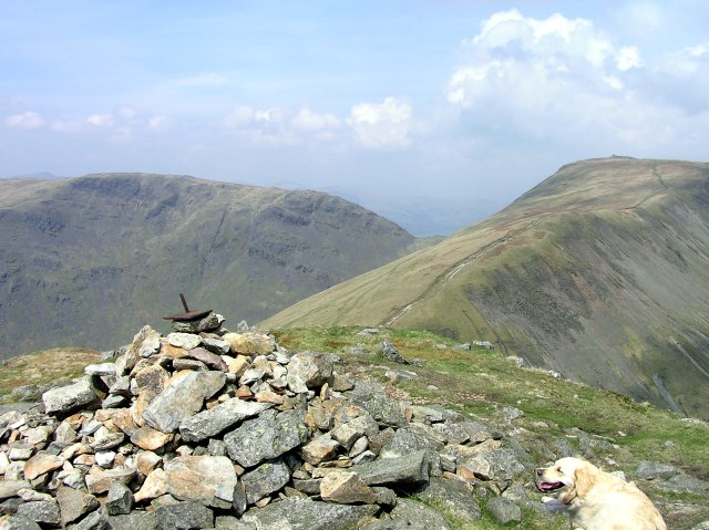
Now, our highest summit of the day is in sight: High Street (828 m). An old roman road leads over the fell near the summit.
Bethan waiting when we sit down for lunch.
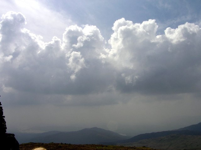
Intersting clouds over Windermere
The last few metres to High street summit
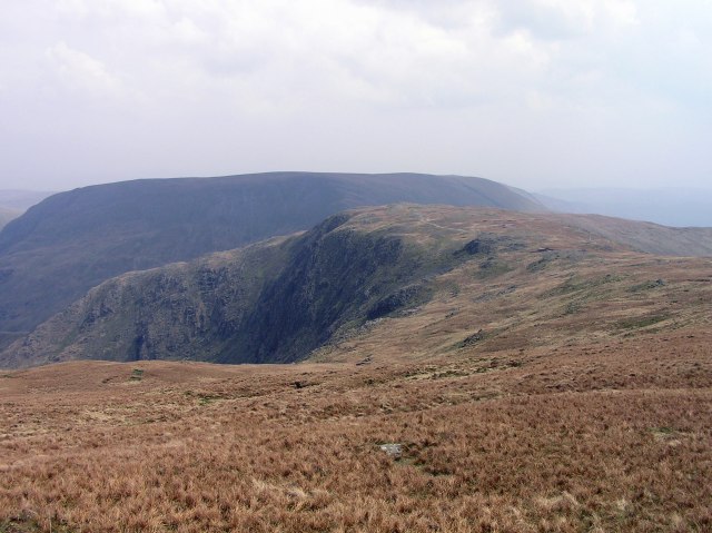
Mardale Ill Bell from the descent of High Street, with Harter Fell behind.
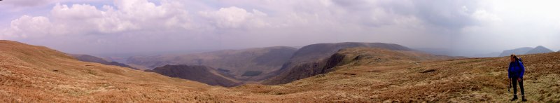
Small panorama from the same viewpoint. Haweswater in the distance. Click into the picture for a larger version.
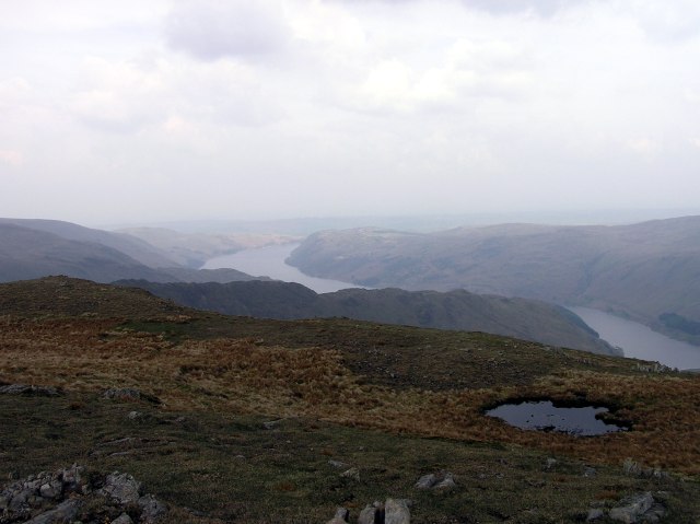
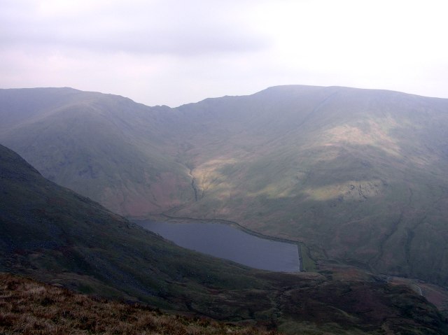
Haweswater Reservoir from about Mardale Ill Bell.
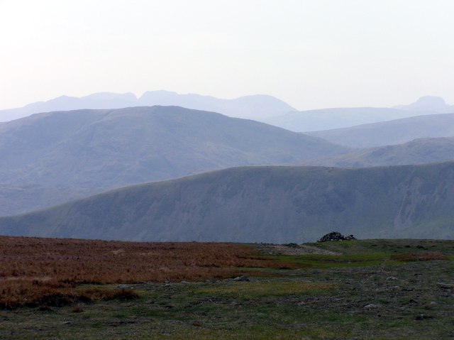
The western view with the Scafells in the background and Great Gable far right, from Harter Fell.
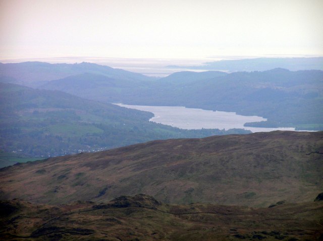
Lake Windermere and the Duddon estuary, from Harter Fell
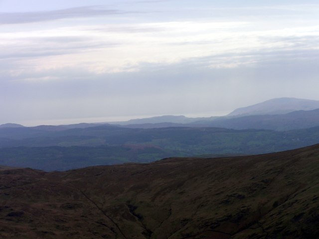
Morcambe Bay in the distance
Bethan has climbed the summit cairn of Kentmere Pike, admired by Ann.
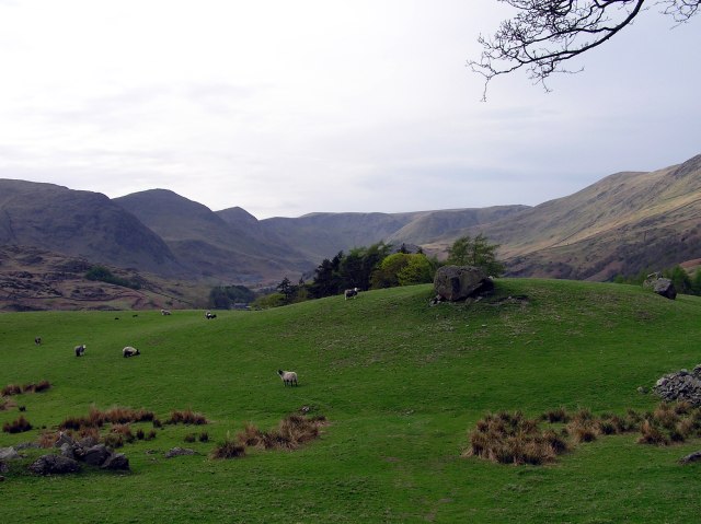
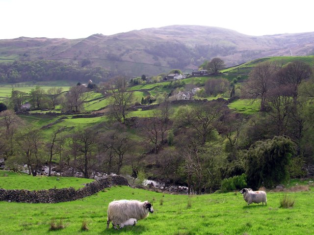
Back to near valley ground, the grassland is much more green.
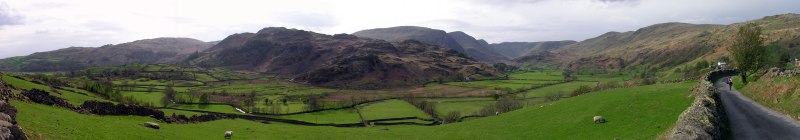
On this panorama of the Kentmere village, taken shortly above Kentmere village, nearly all of our route is seen, from left to right. Click into the picture for a larger version.
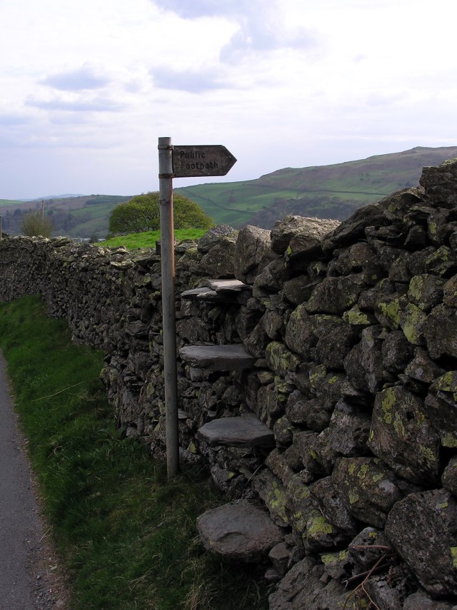
An airy stile over an old stone wall. In an Alpine surrounding, this would be designated as a via ferrata ... ;))) Funny, but the sign does not tell you where the path leads.
A little lamb drinking ...