5.5.2006 - Grasmoor
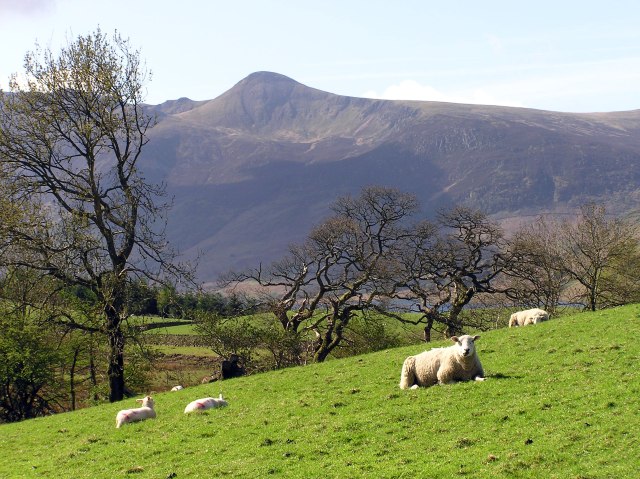
After a big thunderstorm last night, the air dries up quickly, and it is very clear today. Roger has to work at Fisher´s in Keswick. He brings back the mountain bike to the store in the morning. At about 9.15 a.m., I start for a walk from Loweswater over the northwestern fells to Braithwaite, where Roger promised to pick me up when driving home after work.
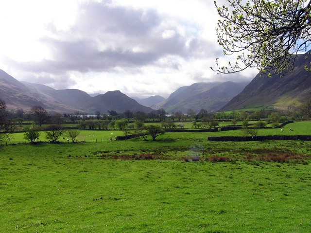
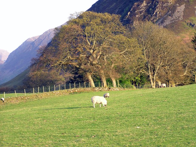
View into the Buttermere valley from near Oak Cottage
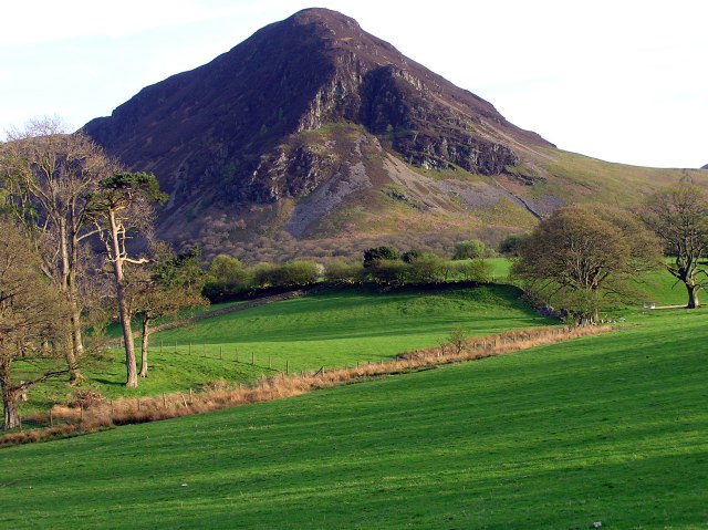
Mellbreak
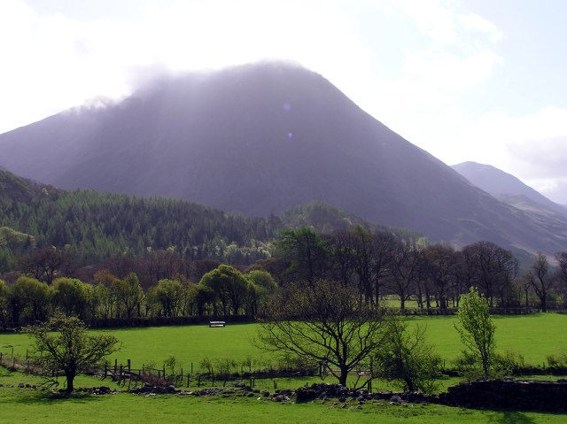
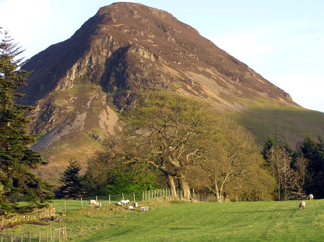
Grasmoor with some cloud rests from yesterday´s thunderstorm
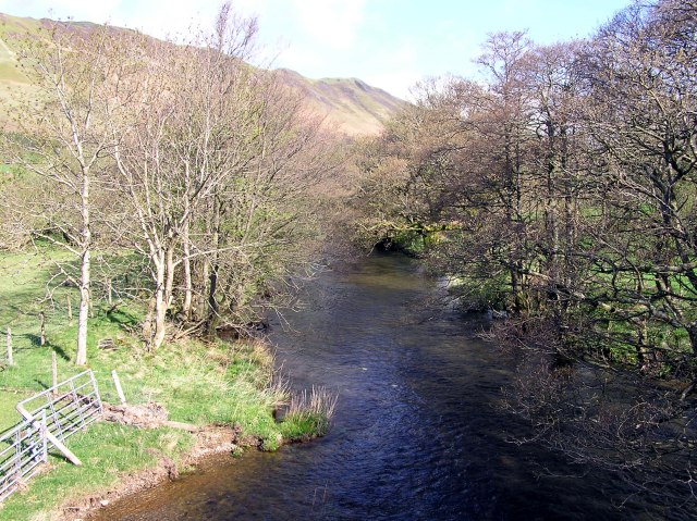
After a few minutes, I cross the river Cocker
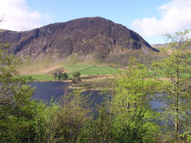
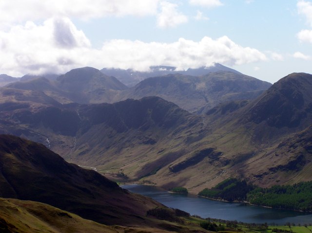
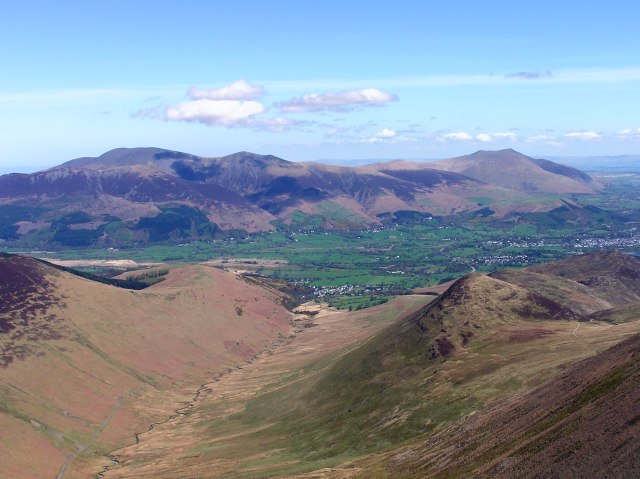
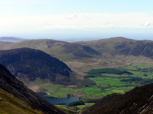
Crummock Water and Mellbreak, a view that will accompany my walk during the next two hours or so.
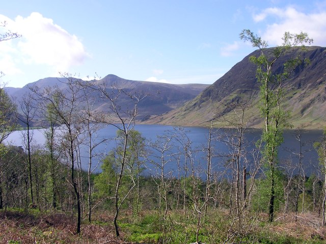
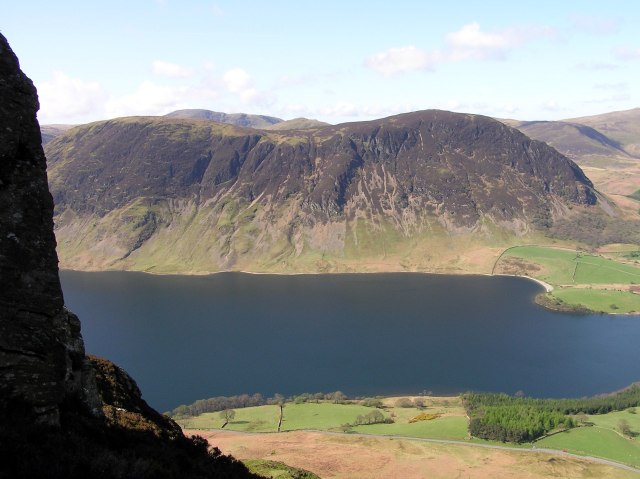
Crummock Water with High Stile and Red Pike, Mellbreak far right.
Out of the forest now, near Lanthwaite Farm. Looking over Crummorck Water to Red Pike.
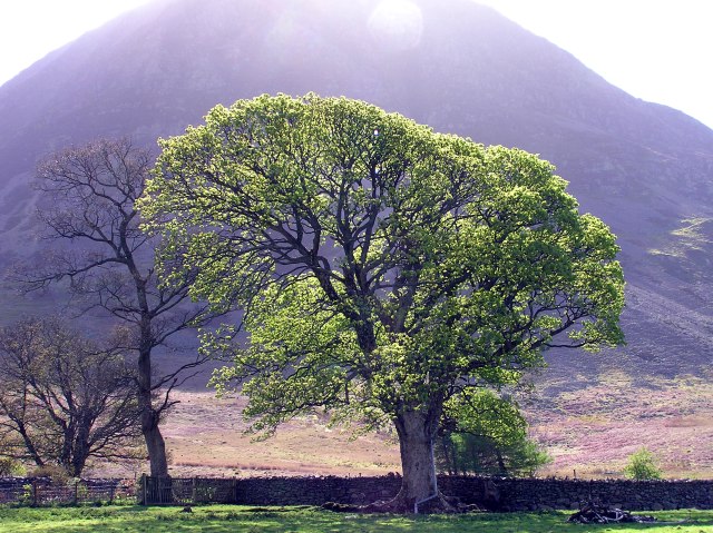
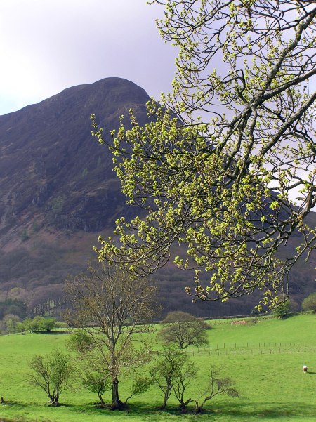
A old maple tree, with Grasmoor in behind.
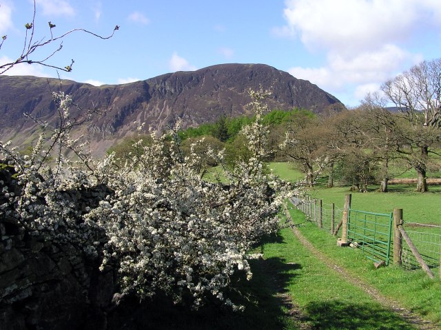
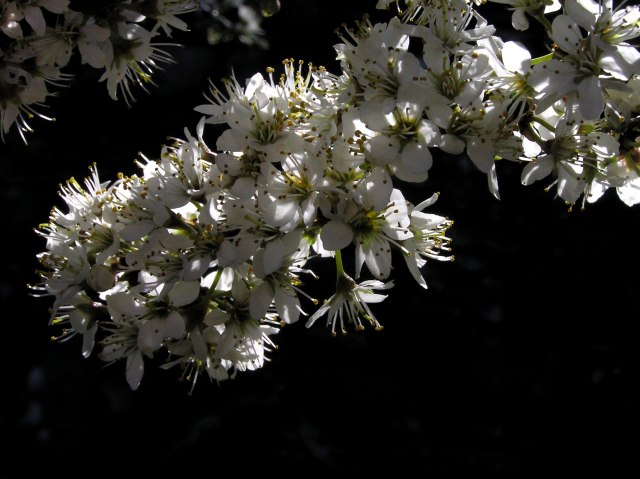
Blackthorn near Lanthwaite Farm, looking back to Mellbreak.
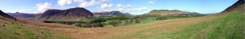
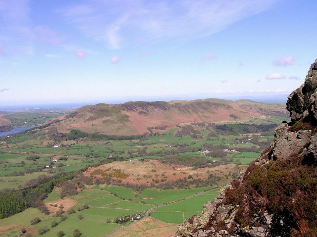
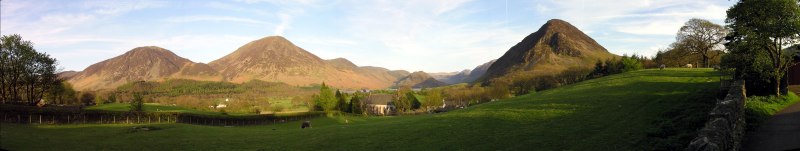
Panoramic shot from shortly above Lanthwaite Farm. Red Pike and Crummock Water, Mellbreak, Blake Fell and Bield/ Low Fell. Lanthwaite farm in the foreground. Click into the picture for a larger version.
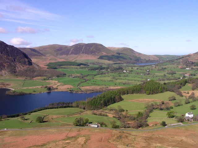
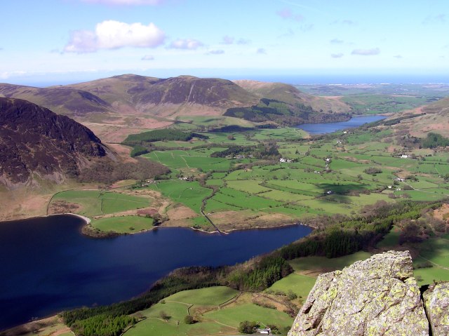
Crummock Water, Loweswater village and Loweswater lake in behind.
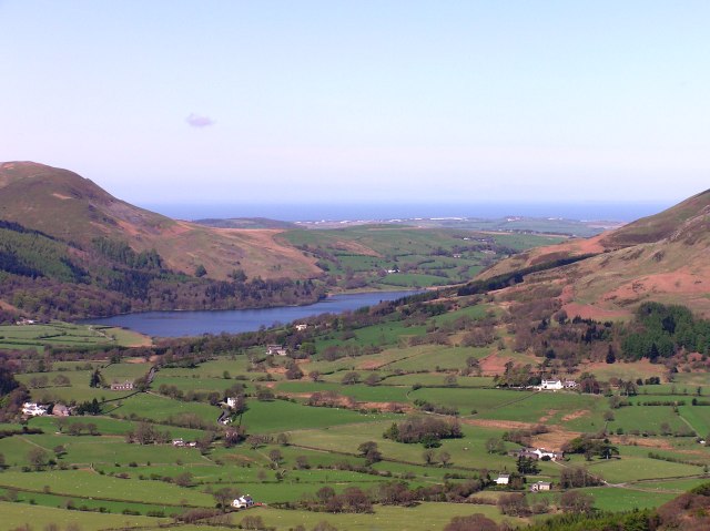
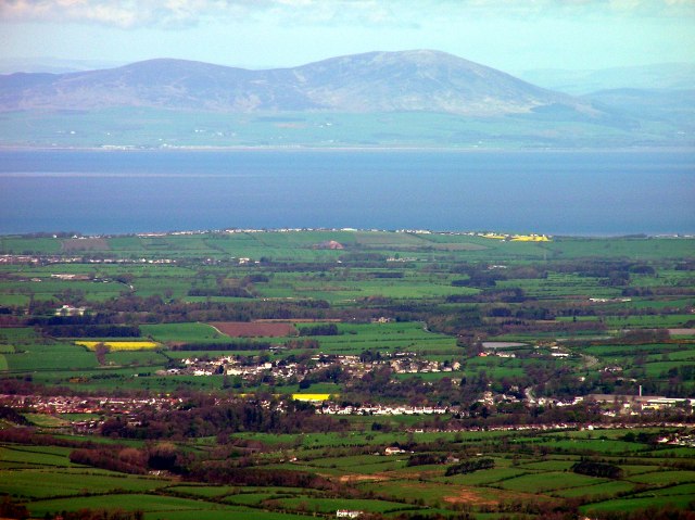
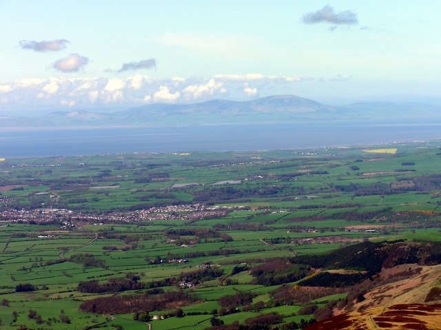
Loweswater village and lake, with the Irish sea in the background.
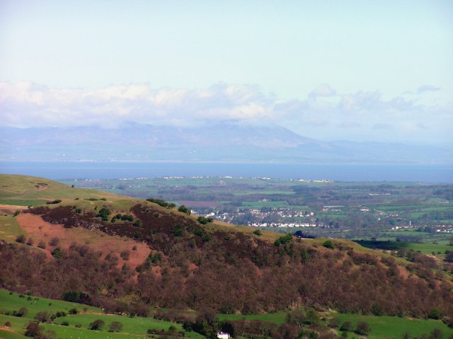
Scotland behind the Solvay firth.
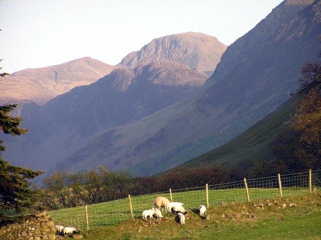
Low Fell from direct ascent to Grasmoor
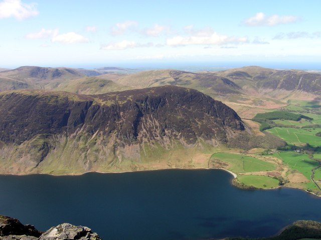
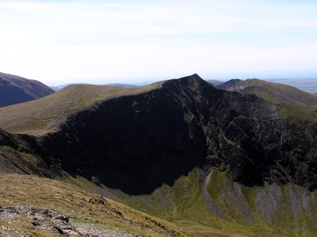
Mellbreak behind Crummock Water. I take the direct ascent, which turns out to be rather dangerous due to wet and slippery grass and heather, and even the crags I have to climb are rather slippery. Good luck I finally find a narrow path leading through the worst section with the steepest crags, otherwise I don´t know how I´d have done ...
Whiteside ridge from just above the worst part of my way up.
Once more Crummock Water, Loweswater village and Lake, and the Irish sea.
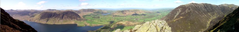
Western panorama from half way up Grasmoor. Whiteside ridge and Hopegill head to the far right. Click into the picture for a larger version.
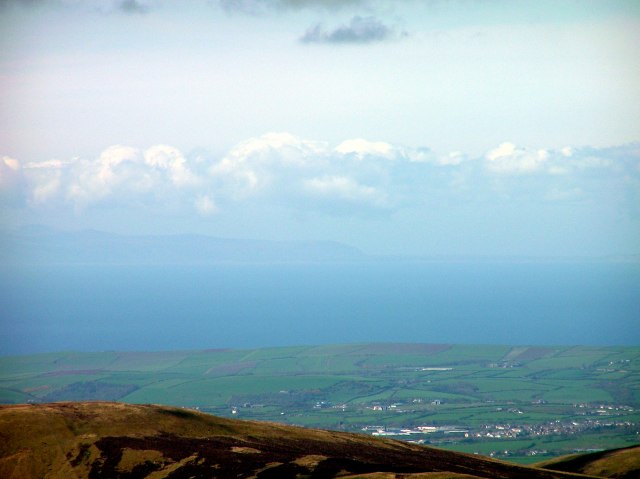
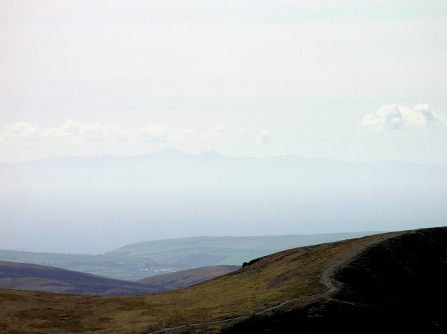
Scotland with Criffel across the Solvay firth. I did not expect to see so many details of Scotland ...
Mellbreak summit now much deeper than my position. In the distance, far out in the Irish sea, ...
... the Isle of Man, with thermic clouds above.
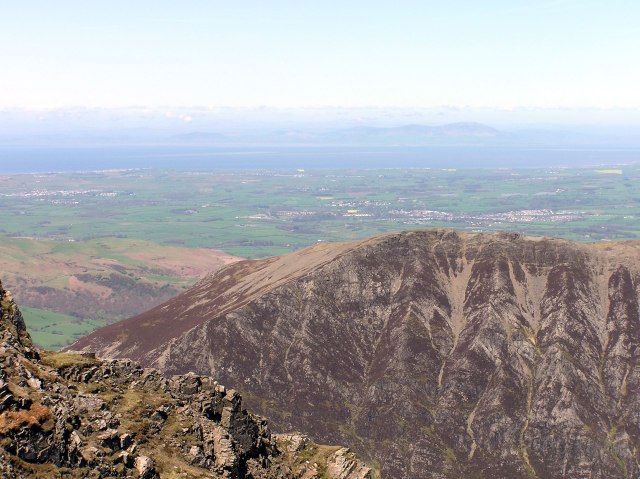
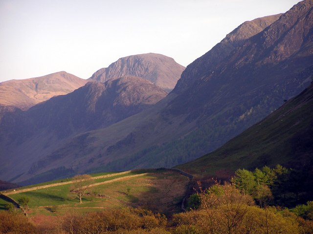
The Scafells still in clouds, Great Gable in front, being free. Buttermere lake in the foreground.
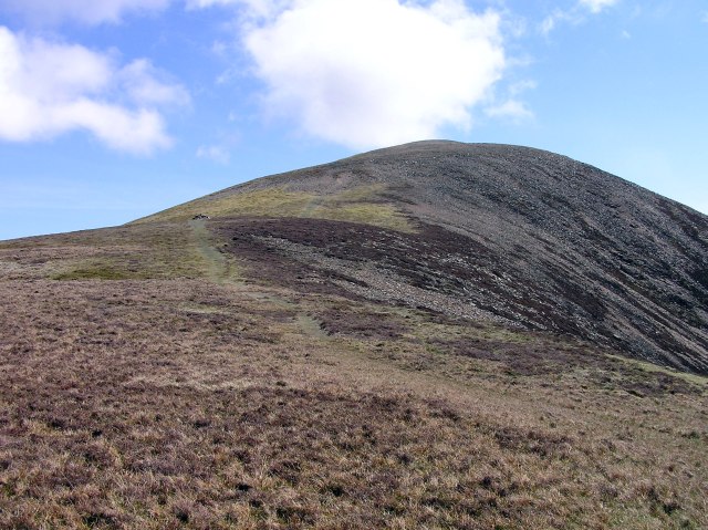
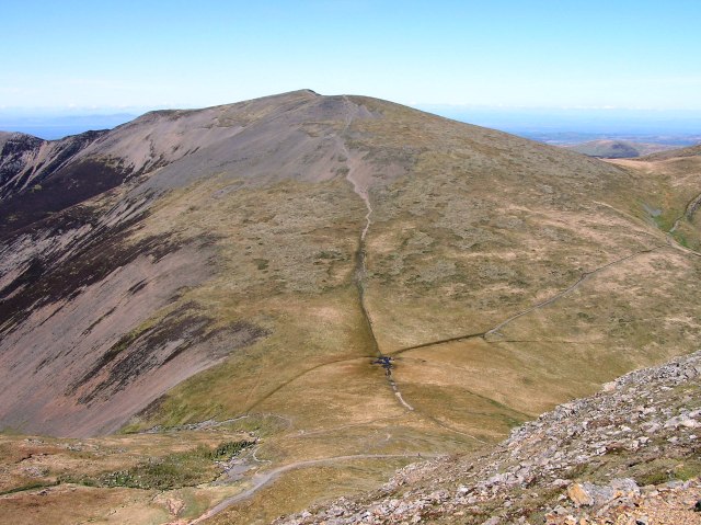
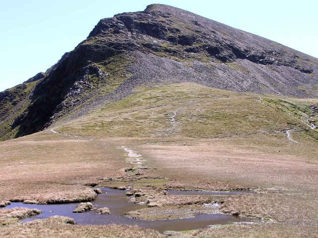
The last part of the way up to Grasmoor summit is rather flat, you would not expect this from beneath.

360 degrees - panorama from the summit of Grasmoor. Click into the picture for a larger version.
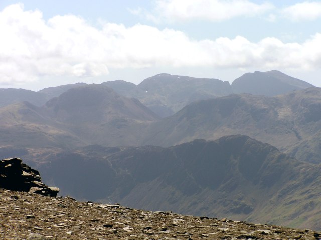
The Scafells are out of the clouds now. Green Gable, Great Gable and Kirk Fell in front, and Haystacks in the first row.
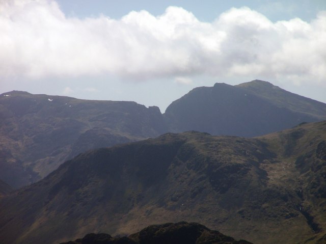
Zooming in on the Scafells
A first glimpse on Skiddaw, with Grisedale pike in front.
Whiteside ridge and Scotland
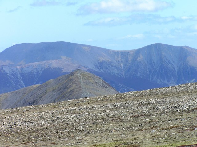
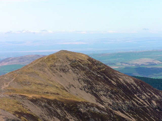
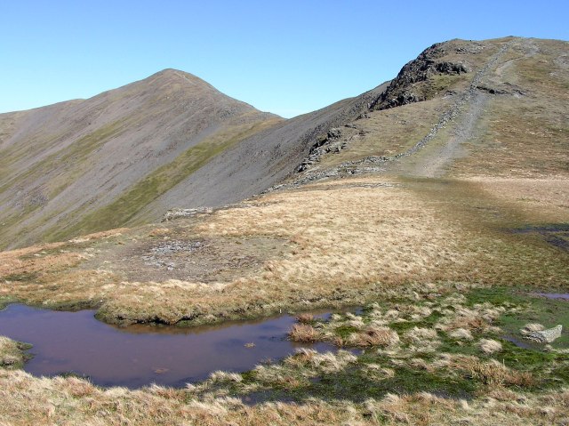
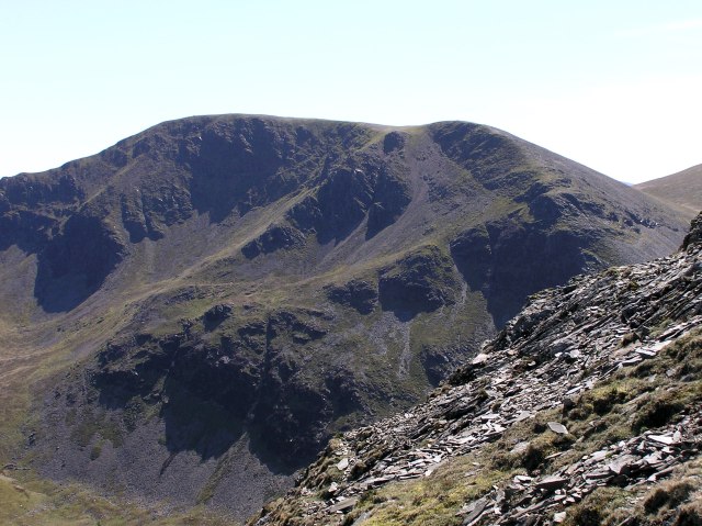
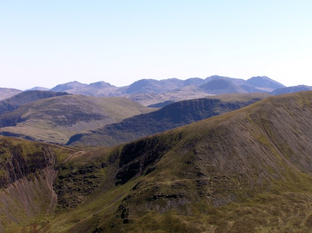
Crag Hill, my next destination, with yesterday´s Helvellyn ridge in behind.
Grisedale Pike and Skiddaw. Eel Crag far right in front.

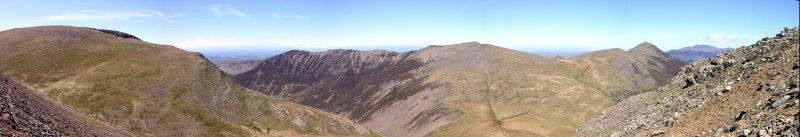
360 degree Panorama from Crag Hill. Click into the picture for a larger version.
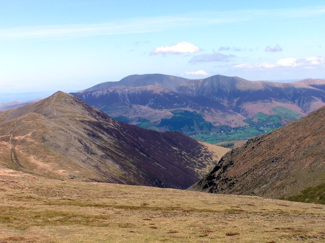
Skiddaw and the Coldale, Keswick far right.
Zooming in on Grisedale Pike
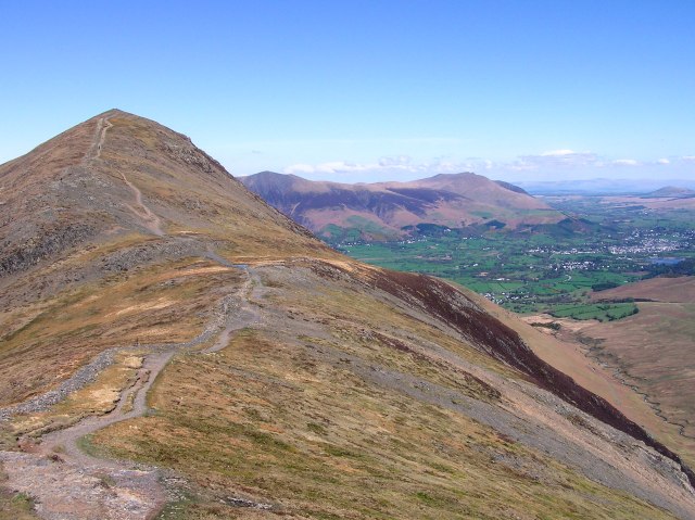
Grasmoor as seen from Crag Hill.
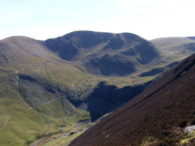
Sand Hill and Hopegill head with Coledale Hause in front, as seen from Eel crag.
Grasmoor, Whiteside, Hopüegill Head, Grisedale Pike and a glimpse on glimpse on Skiddaw. Click into the picture for a larger version.
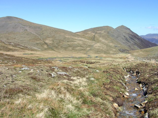
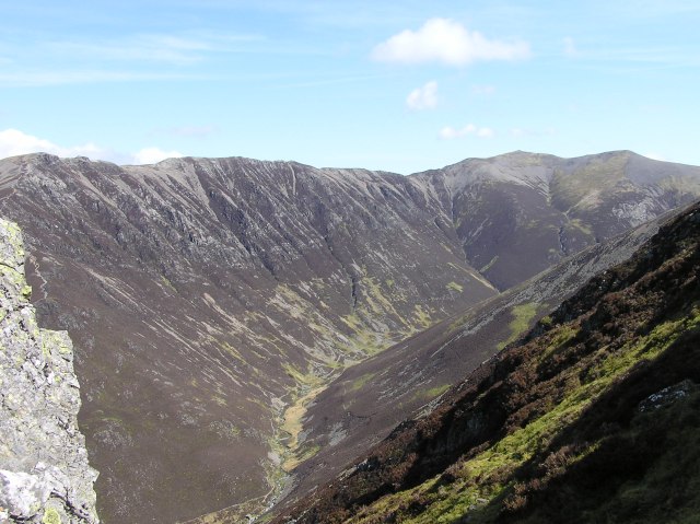
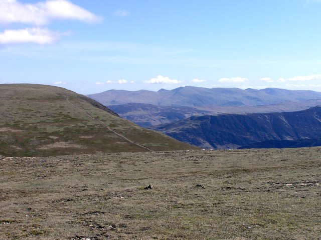
Coledale Hause and Grisedale Pike, Coledale beck in front.
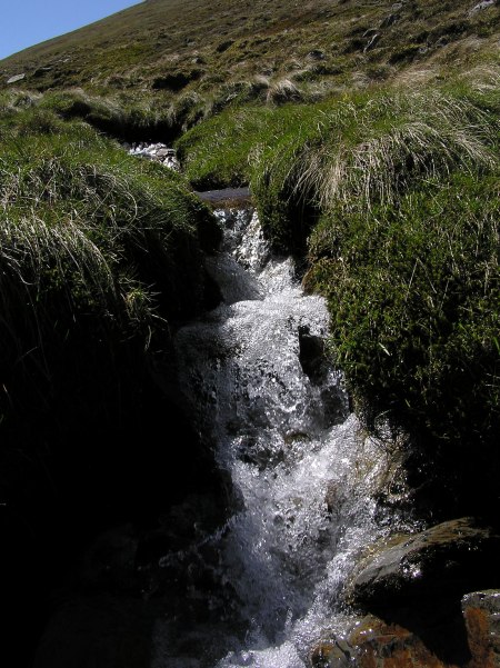
Coledale Beck
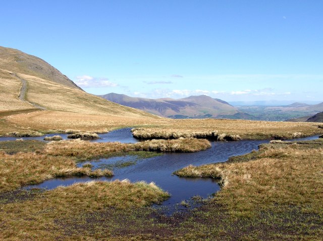
Puddles on Coledale Hause
Eel Crag with Coledale Hause in front.
A last ´view down to Mellbreak and Crummock Water
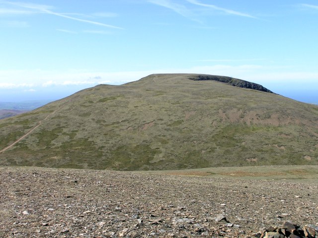
Looking from Sand Hill to Hopegill Head
Once more the Isle of Man

360 degree Panorama from Hopegill head. Click into the picture for a larger version.
Scotland behind the Solvay, Cockermouth in front
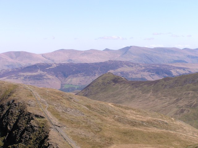
The Helvellyn ridge as seen from Hopegill Head
Grisedale Pike from one of the two small saddles on the ridge to Hopegill Head.
Grisedale Pike, Keswick far right
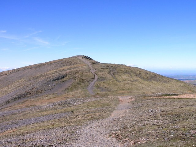
Crag Hill as seen from the ascent to Grisedale Pike
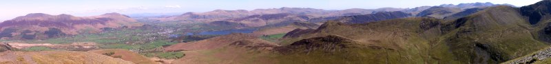
Panorama from eastern to southern direction, from Grisedale Pike. Skiddaw and Blencathra, the Pennines in the distance, the Helvellyn ridge, in the background the Scafells and Great Gable to the far right. Click into the picture for a larger version.
Hopegill Head as seen from Grisedale Pike
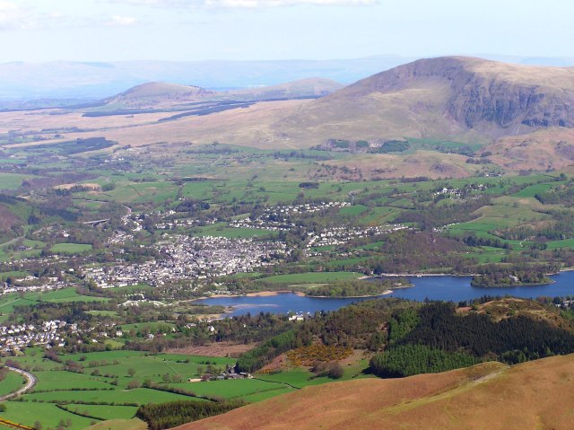
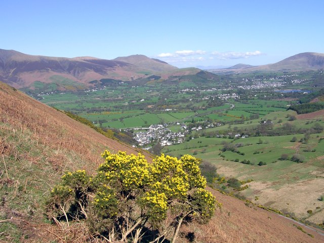
Keswick and Derwent Water, behind Keswick is Great Mell Fell and Little Mell Fell with the Pennines behind, far right is Clough Head at the beginning of the Helvellyn ridge.
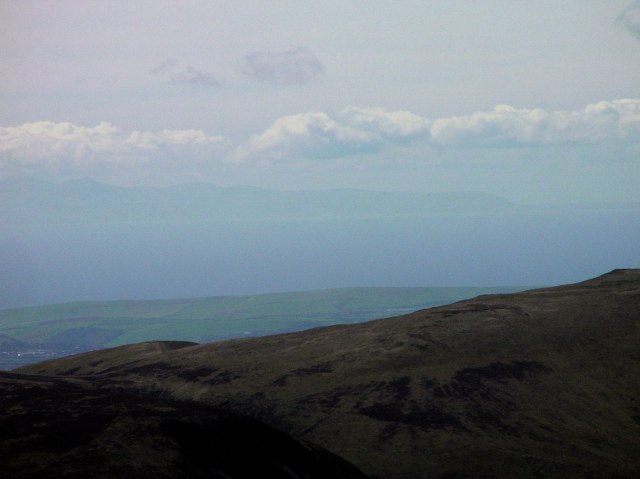
The Isle of Man behind Hopegill Head
The High Fells with the Scafells and great Gable
Crag Hill from the descent from Grisdale Pike.
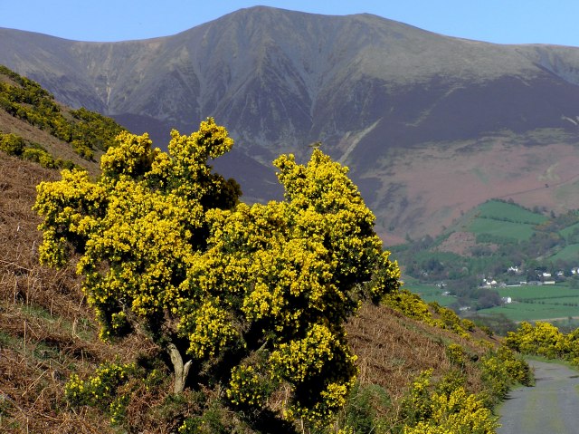
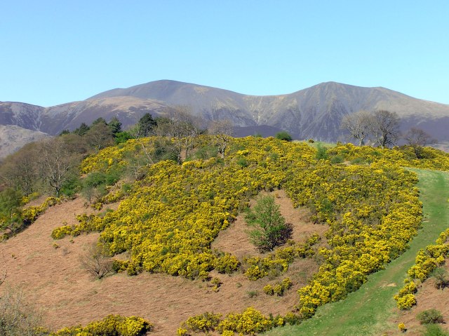
Shortly before the end of the ridge coming down from Grisedale Pike to Braithwaite, I decided to go straight down through droughty Bracken, because I saw some beautiful gorse down in the Coledale valley. So there are some pictures, with the local landscape in behind ...
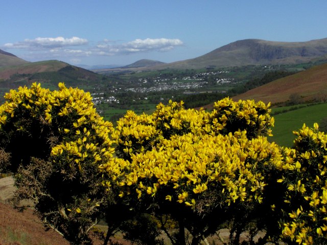
... with Keswick
... with Skiddaw
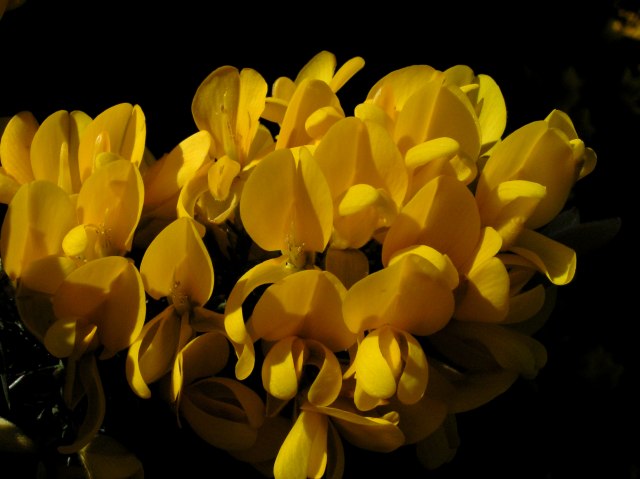
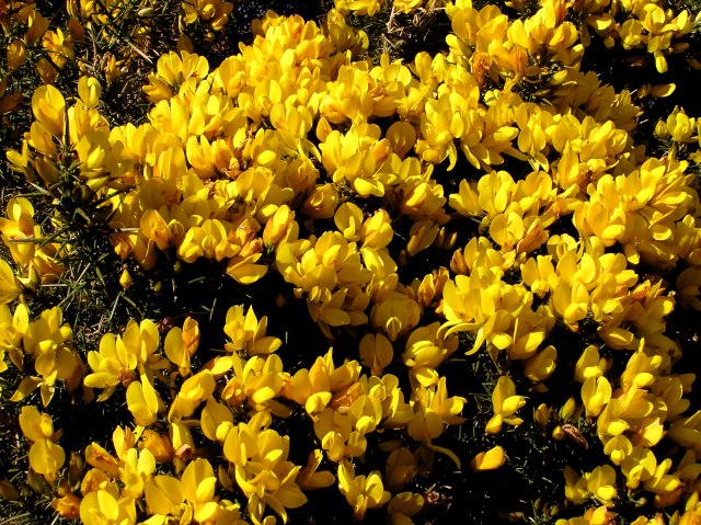
Close up of gorse blossoms
... Keswick
... Skiddaw
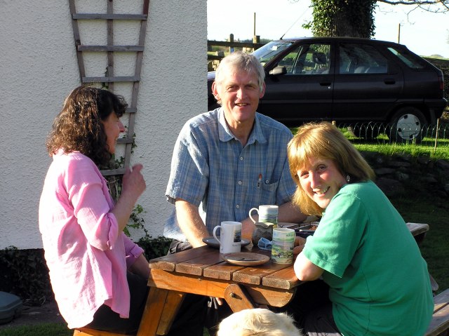
Back home in Oak Cottage garden. Jill, Roger and Ann
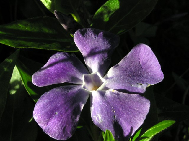
Periwinkle in the garden
In the evening I do a short walk to enjoy the beautiful light: Mellbreak ...
Whiteside, Grasmoor, Crummock Water with Rannerdale Knotts, Great Gable and Mellbreak, as seen from Loweswater´s village hall. Click into the picture for a larger version.
Zooming in on Great Gable
Carling Knott
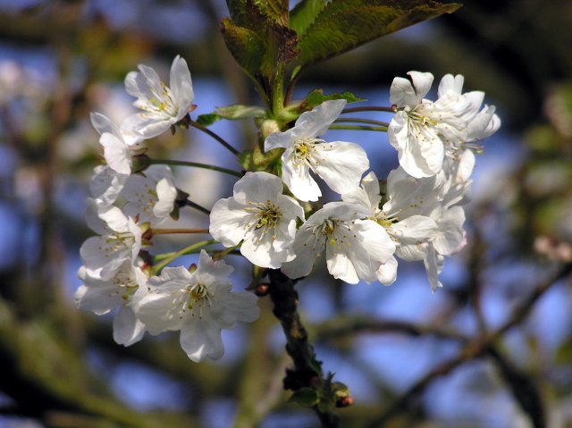
Blooming Cherries ...
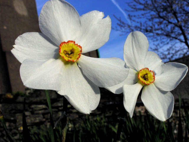
... and daffodills in front of the village hall.
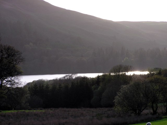
Loweswater lake in the evening sun.
Once more Great Gable
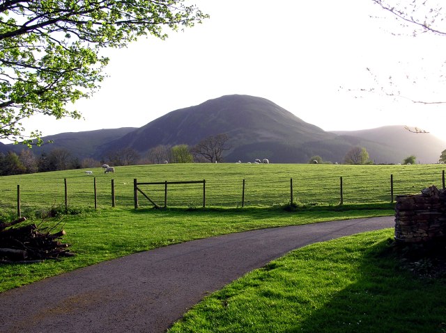
Mellbreak