6.9.2022: Beach walk from Kalamaki to the rock spring.
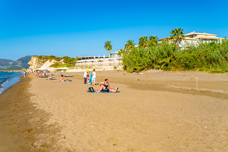
STarting from our hotel Crystal Beach, I walk along the beach in eastern direction.
First along the sand beach. View along the Vasilikos peninsula.
View back to Kalamaki.
For a short passage, a landslide has covered the sand, so better wade a bit in knee-deep water (rather than climb the steep sandy and slippery slope.
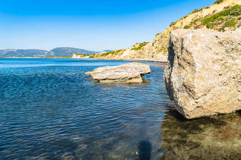
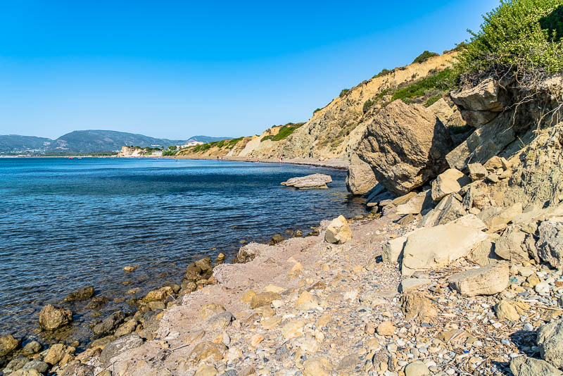
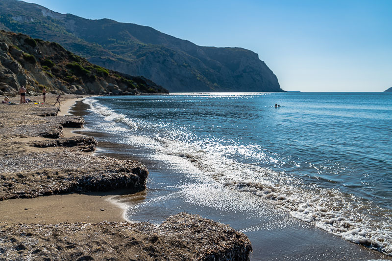
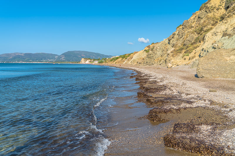
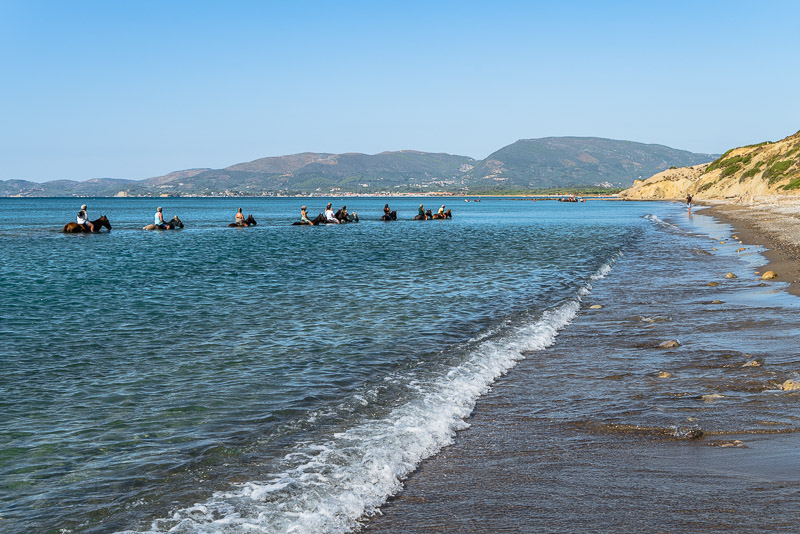
Gravel beach behind and soon more sand beach.
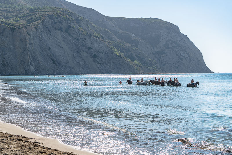
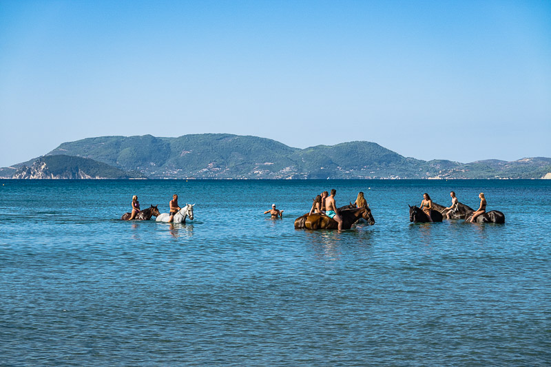
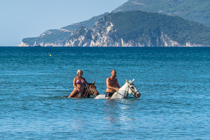
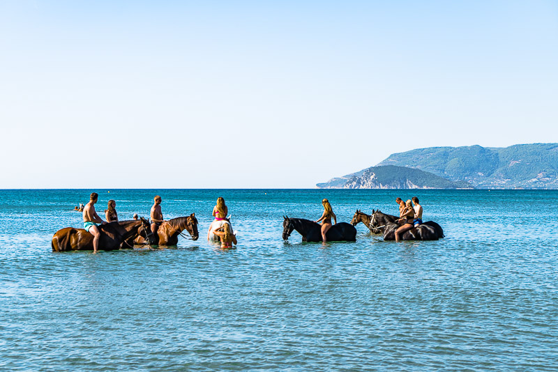
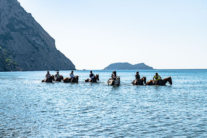
Here, a gravel road ends coming from above, which the riders presumably have taken to ge to their bath.
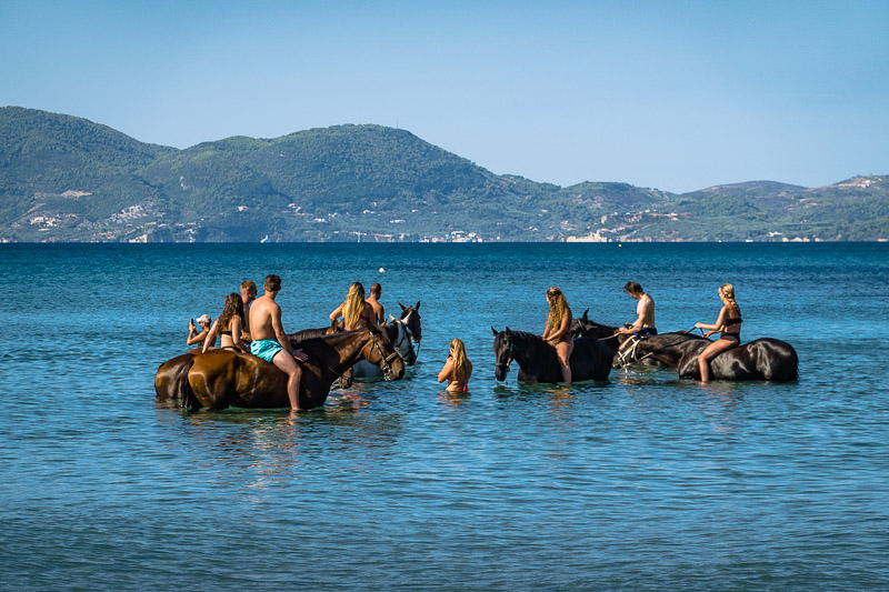
The horses don´t mind, it seems.
This view goes to the island of Marathonisi.
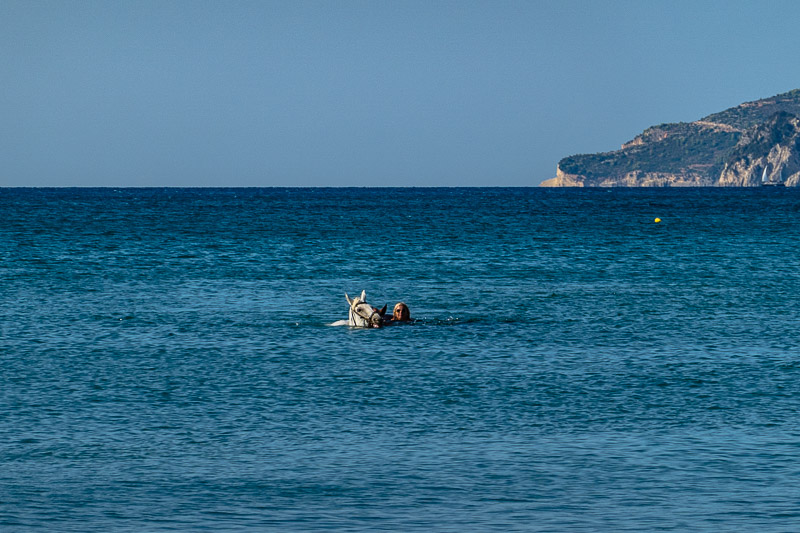
Horses can swim.
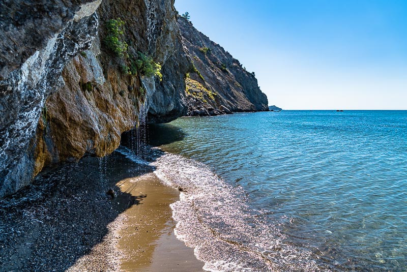
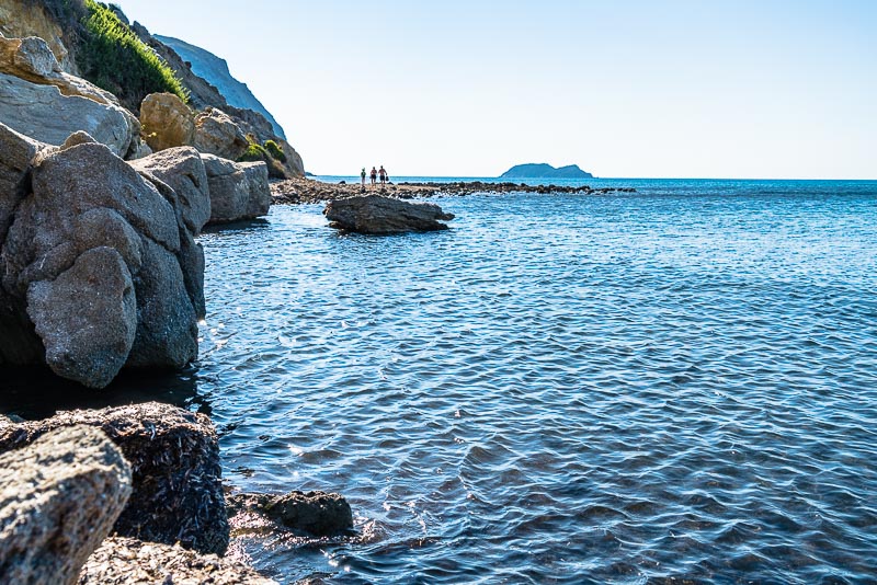
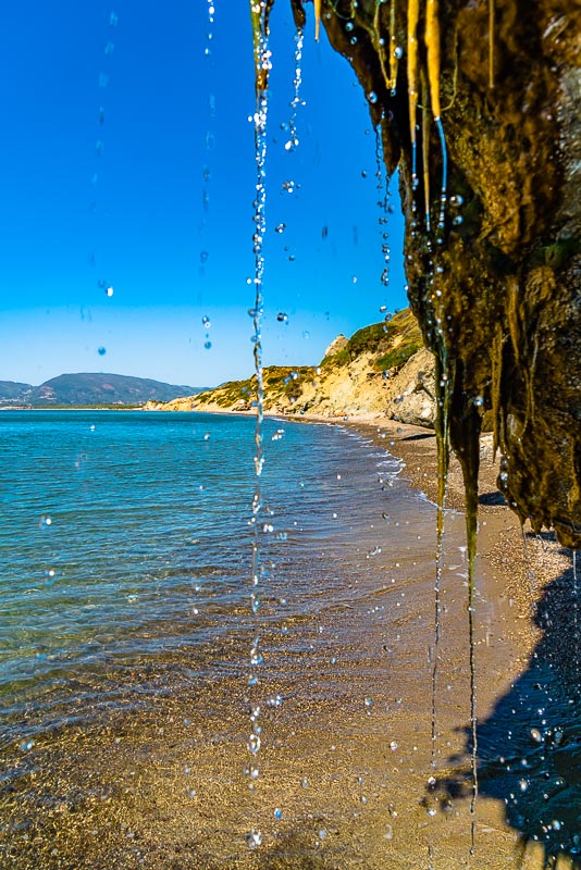
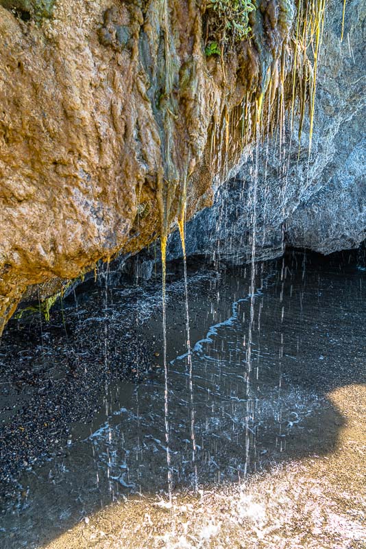
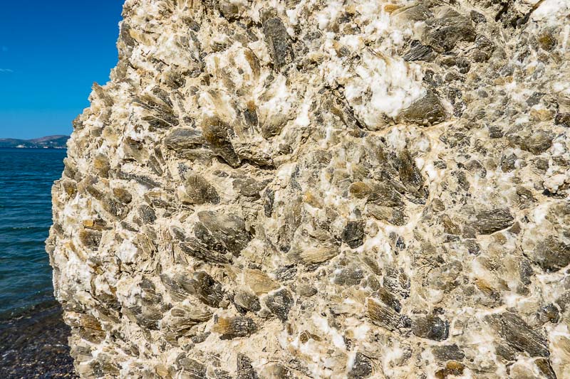
At the very end of the beach, the rocky coast of the Vasilikos pensinsula starts. In a broken rock holed beneath by the breakers, a small well with fresh water appears.
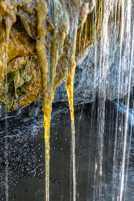
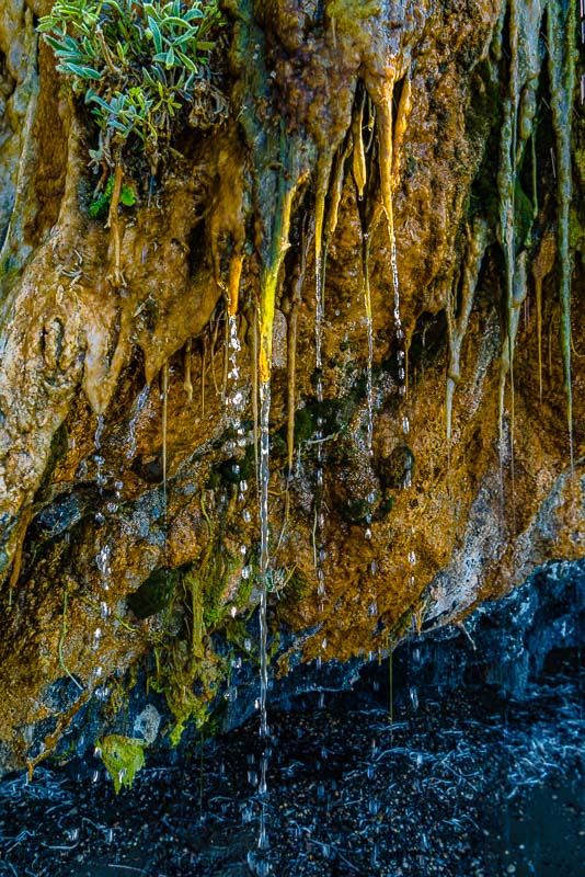
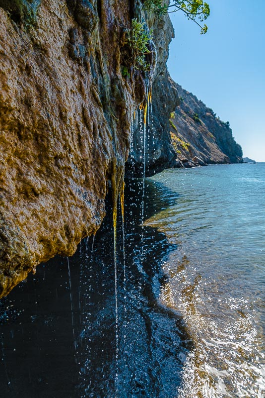
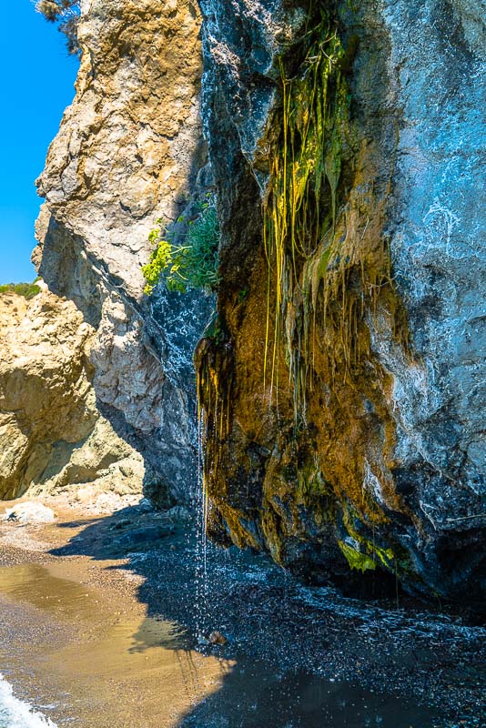
I wait for the sun to appear to get this tiny waterfall in sunshine.
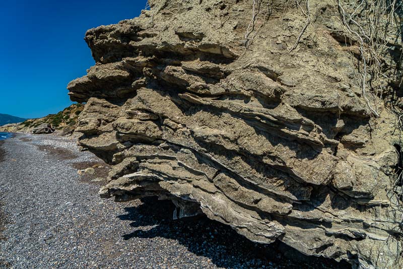
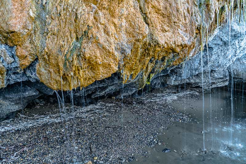
Some of the rocks are full with gypsum crystals, partly forming stratified layers, ...
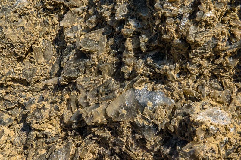
... partly appearing on the surface nearly petrogenic.
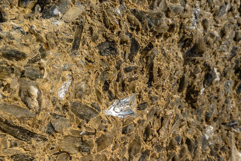
This gypsum originates from a time of about 6 to 5,4 millions of years, when
between southern Spain and western Morocco the two existing connections between
the Atlantic and the Mediterraneans (North of today´s Sierra Nevada and south of
the Moroccan Rif mountains, the Northwesternmost part of the Atlas) closed and
opened several times (at that time, the strait of Gibraltar was emerged land and
part of a mountain ridge connecting the Sierra Nevada and the Rif mountains).
This caused the Mediterraneans to be cut off water supply from the ocean. As the
influx of fresh water to the Mediterraneas by far is not sufficiant to maintain
its water level, each time the Mediterraneans completely or nearly ceompletely
dried out and were filled up again. Gypsum is a so-called
evaporite, built by
precipitation of salts in the water, when their concentration gets too high due
to evaporation (hence the name). When sea water evaporates, gypsum is the first
to precipitate, followed later on by halite (salt) and, at the very end, by
potassium salts. Because of salt and gypsum found near the Italian Messina, the
geological era is called "Messinian",
the evaporation event "Messinian
salinity crisis"
(it was called „crisis“, because many marine species died out in the
Mediterraneans during this era). In the deepest parts, salt lakes were forming,
comparable with today´s Dead Sea in Palestine. (look
at this animation video from Wikipedia!)
Big rivers were now flowing over steep continental shoulders, thus carving
themselves back into the land creating huge canyons. Such a canyon (now
completely filled up) at first was described in the Rhone valley. The Nile near
Cairo was flowing in a 2.400 m deep ravine, still 750 m deep near Assuan, an
overdimensional "Grand Canyon". The mediterranean basin was grown with forests
in its upper parts, the hollows were several thousand metres deep depressions
with salt deserts, only interrupted by a few green oases along the rivers,
comparable to today´s Nile valley.
5,33 millions of years before now, a sea channel opened near today´s Gibraltar
flown in high gradient by huge lots of sea water, thus engraving rapidly, and in
geologically very short time the mediterraneans wer flooded completely again
(early, now mistrusted reports tell about only 2 years, with a daily level rise
of 10 m and a huge salt water river near Gibraltar!). Afterwards, the Canyons
were refilled by river sediments now creating large delta´s, like those at
Rhone, Po, Nile or Danube (Informations taken from Wikipedia).
Following local geological elevations, gypsum depositions from small side-basins
were positioned above sea level, where the crystals nowadays can be admired in
many places around the Mediterraneans, like Zakynthos.
Still not negating or downplaying the coming climate crisis: recently melting
glaciers are only blobs in comparison to what happened in the past from natural
causes.
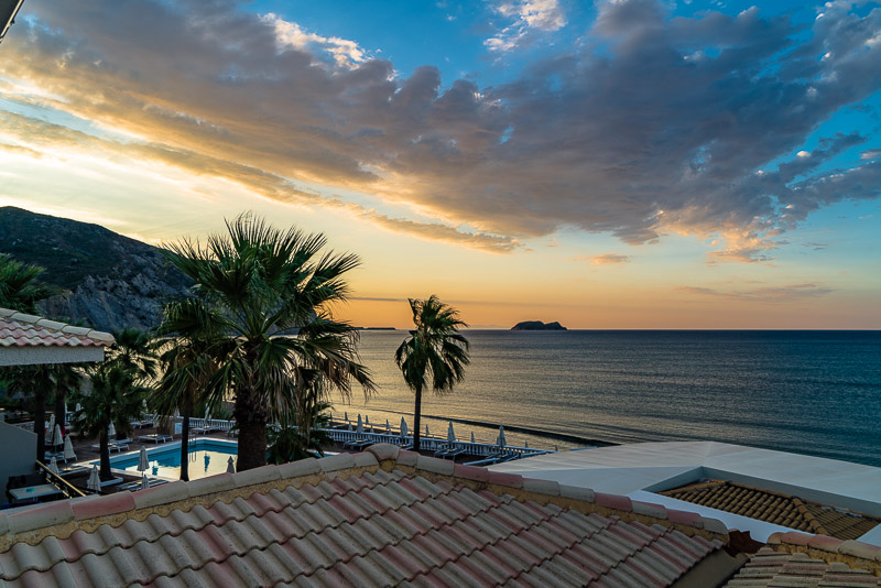
7.9.2022: next morning, from our hotel balcony before sunrise.