9.8.2009: Round trip with a rented car, Blue Caves
The second day, the family is fed up from driving around, so I take use of the car. First, I break up to the "Blue Caves" on the northernmost area of the island, near Korithi.
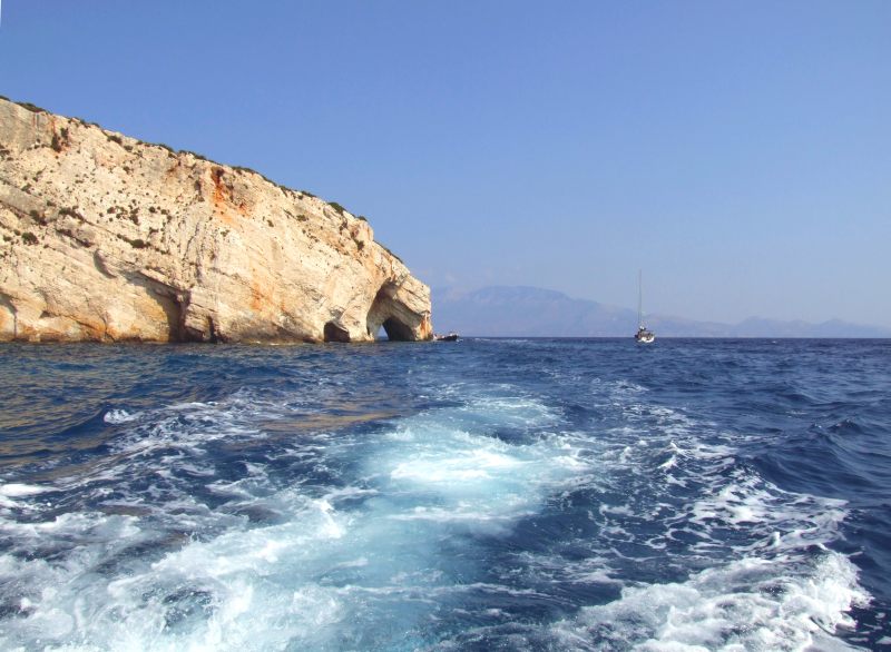
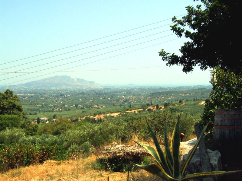
Good view to the neighbouring island, Kefallonia. My boat cannot land yet and goes circular for some time.
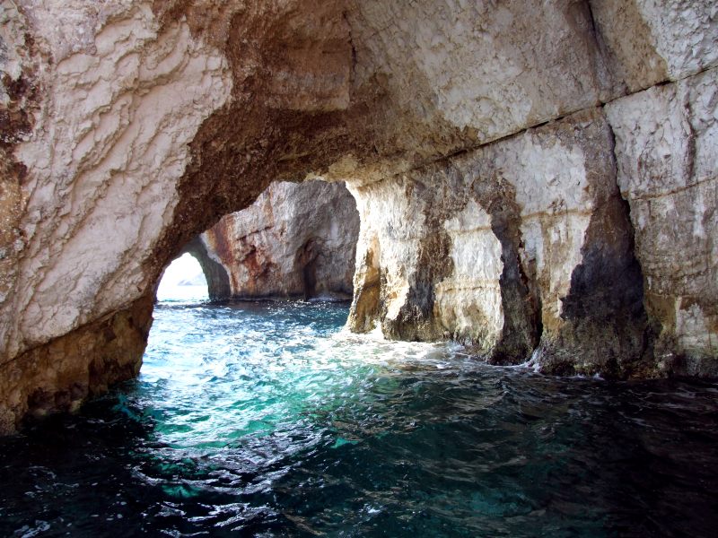
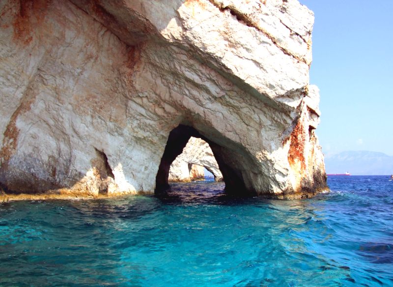
The tiny boats easily fit into these caves, which have been formed in the surge of the sea. In the morning, the water has a turquois- blue color, hence the name.
We are going through the archways. ...
...
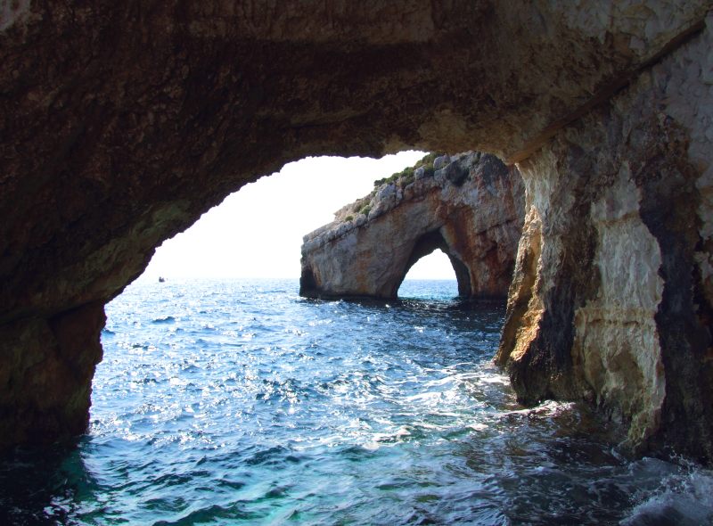
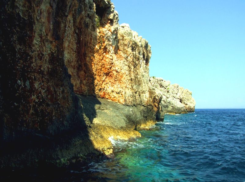
... and along some overhanging rock walls ...
Deep blue sea
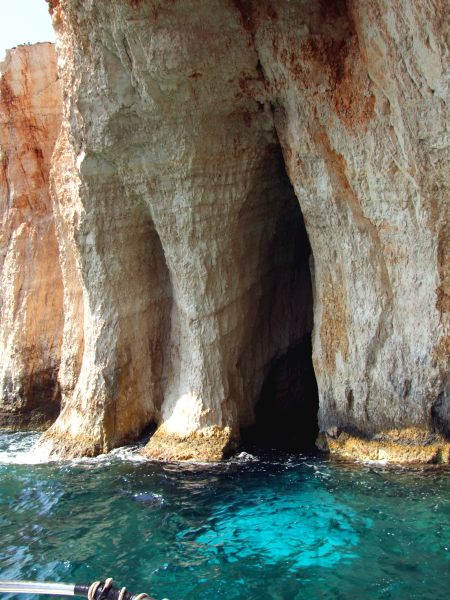
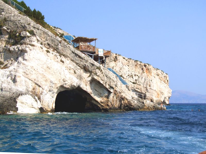
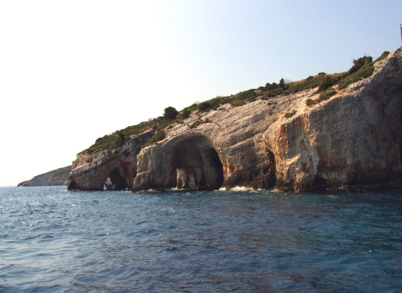
A bit further some more caves, though not so spectacular
A concrete staircase as an access to the sea.
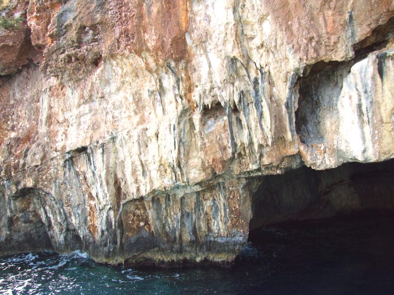
Dripstones
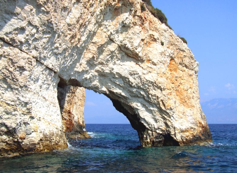
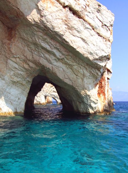
Once more the great "archway"
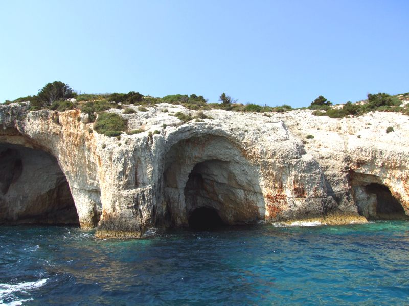
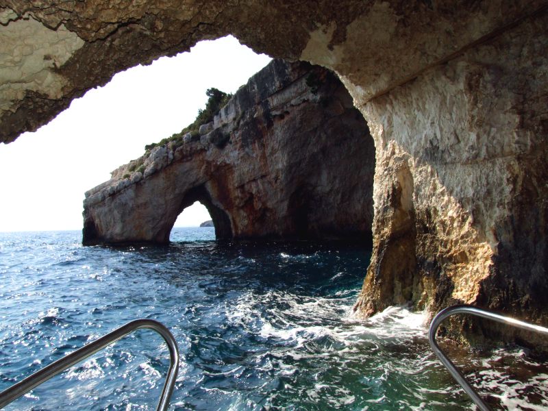
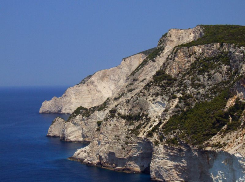
The caves from a bit more distant
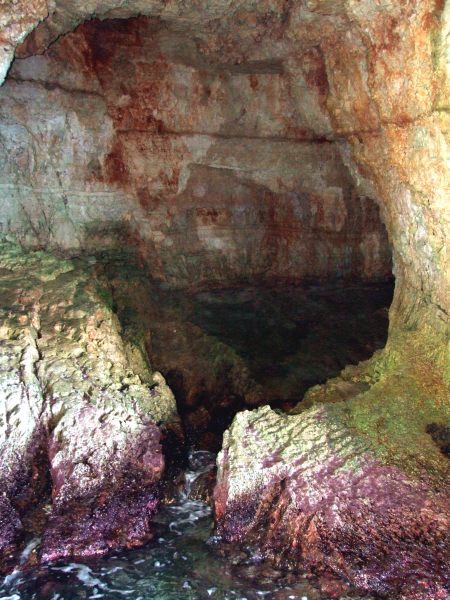
Once more we enter one of the caves.
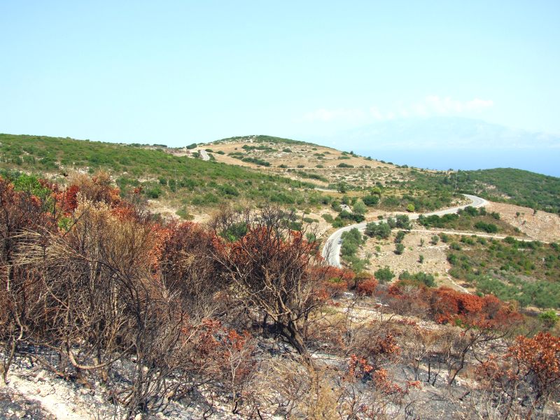
I drive further now on the island, to the villages of Elies and Voulimes and once more to Anafonitria. On the way I stop to take this picture from forest fires that seem to have occuured recently. They say that most of the fires are raised by land speculators. However, I ask myself, what could be interesting in such remote, dry mountain areas?
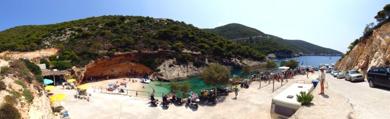
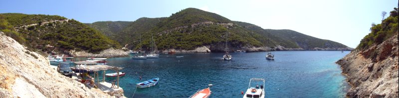
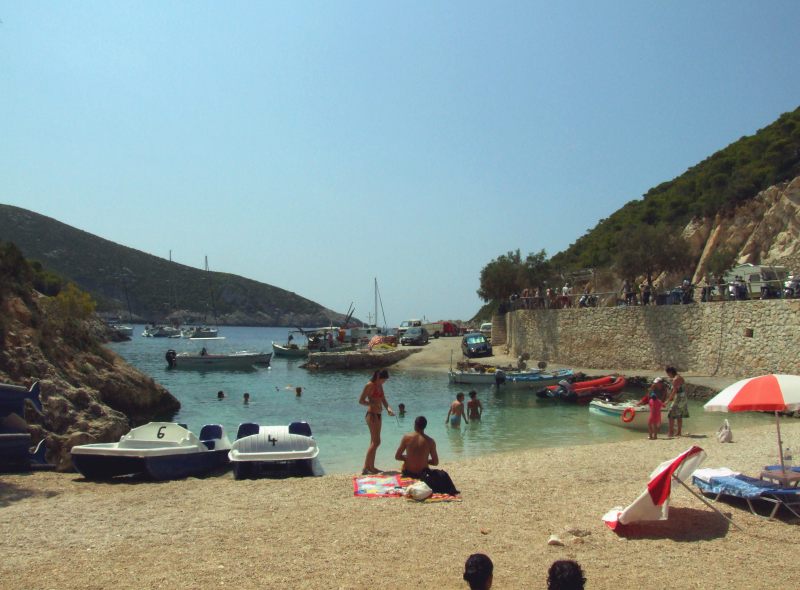
From Anafonitria, I drive down to the tiny harbour of Vromi. Here two well asphalted roads are ending in two very close tiny coves of the same fjord, no more than 200 m from each other, with no connection in between, however. (Once more, I have stitched many pictures together) - Click here or into the picture for a larger version.
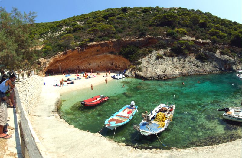
A miniature beach ...
... attracting only a few visitors.
Many excursion boats are starting from here, mostly going to the famous Ship wrek beach. Left from the centre the second cove with the second road, left upside the road where I have come. Click here or into the picture for a larger version.
On the way back. Once more the cove with the second road.
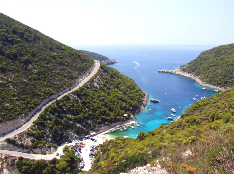
The road leads to a place very close to the cliffs. I stop here and get this downview after a few metres of walk.
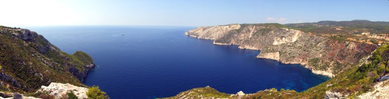
I am driving further, first back to Anafonitria, then via Maries and Exo Chora to Kampion, where I take a rest at the "Taverna Cross" sitting on the terrace with this breathtaking view. Click here or into the picture for a larger version.
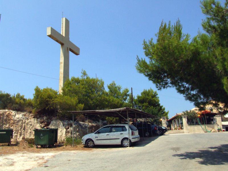
This huge cross made from ferroconcrete has given the place its name.
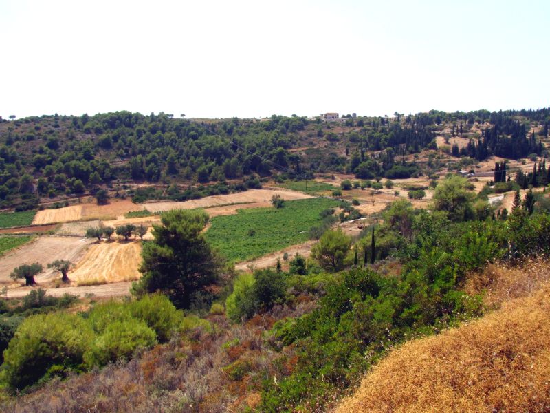
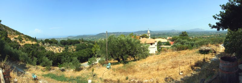
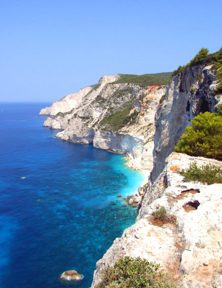
Driving further through the moutains. I branch off to Loucha and Gyrio, supposing that I would have to turn back, but to my surprise, I find a well maintained road steeply down the mountain slopes to Kalithea. No sign of this road on the official maps of the island.
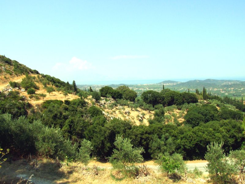
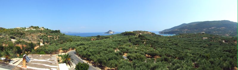
The road first leads through a narrow valley, on its exit the view widens to Zante´s great plain. View in direction of Alikanas ...
... and in direction of the Vasilikos peninsula.
Panoraic picture of Zante´s great plain. Click here or into the picture for a larger version.
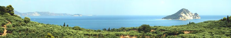
I now drive through the plain along the mountain range, through the villages of Agia Marina, Lagadakia, Macherado, Romin, Mouzaki, Pantokratos and Lithakia. Finally, I am heading for Keri ein, where I get this view from near a windmill to the large Olive plantations. In the background centre the island of Marathonisi, to the right the mountains of the Keri peninsula. Click here or into the picture for a larger verison.
Once more a panorama of zoomed pictures. The cove of Laganas/Keri. Click here or into the picture for a larger version.
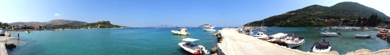
Panoramic view of the small harbour of Limni Keriou. Click here or into the picture for a larger verison.
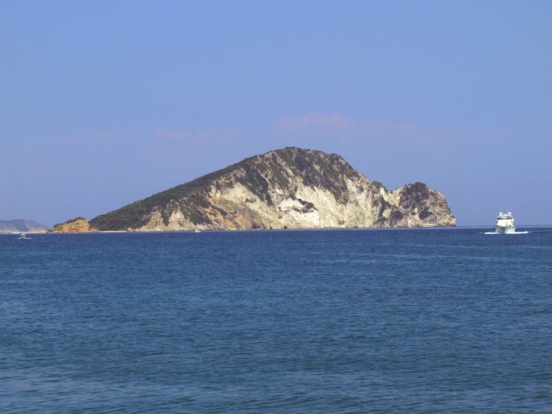
The island of Marathonisi
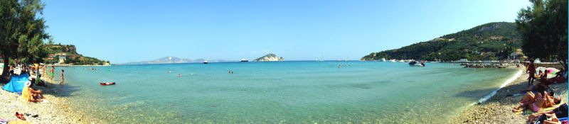
Panoramic picture of the shingle beach of Limni Keriou, close to the harbour. Click here or into the picture for a larger version.