Drive 20.12.2004
As I am still handicapped I have to take use of this bright day driving around, comig to Grünbach, Zweiersdorf, Maiersdorf, Netting. A little bit of new snow in higher places, cloudless sky and temperature slightly below 0 degree C
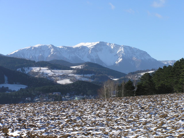
Schneeberg seen from a small bank between Oberhoeflein und Gruenbach; in the dale before parts of Gruenbach
Zooming in on Schneeberg from the same place. The big snowfield in shadow is named Breite Ries, to the left beneath the summit the Plateau. The last slope to the summit (Hackermulde) deeply snow covered, on the highest point at left end of the summit ridge the radar station on Klosterwappen (2.075 m) as a tiny point just visible.
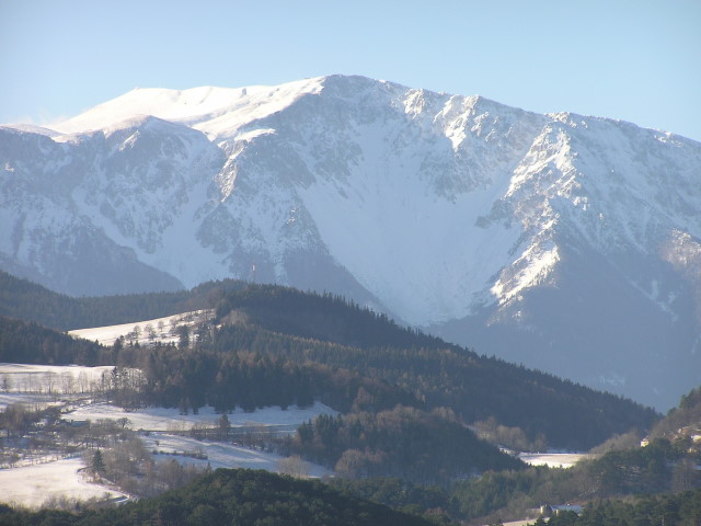
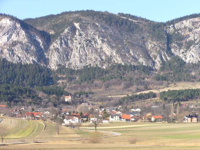
Grünbach and Schneeberg, to the right in the forground the last foothill of Hohe Wand, "Gelaend"
"Gelaend" with the homonymous hut on the left end of summit plateau
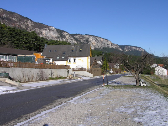
Zweiersdorf, Hohe Wand
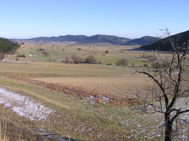
View from Zweiersdorf in direction of Gaaden/Teichmuehle and Fischauer Berge. The deep valley with the crags behind is Prosset Schlucht (Prosset gorge), after about 1 km leading to Winzendorf on its lower end.
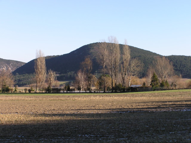
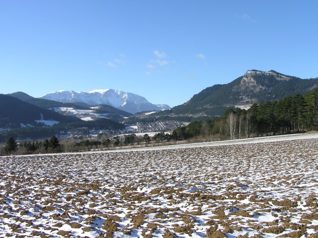
Fishing pond near Netting with Mitterberg behind (see page 19.1.2005). Left of Mitterberg Prosset gorge
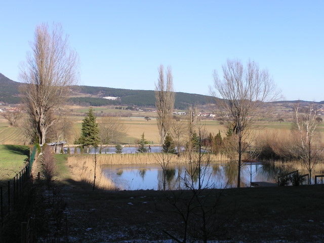
The same fishing pond, now with Gaaden behind, on right edge of picture Muthmannsdorf
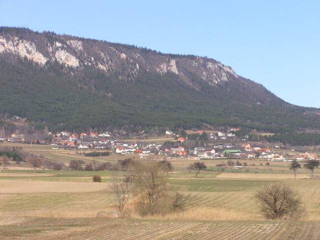
Maiersdorf, Hohe Wand
Stollhof, Hohe Wand
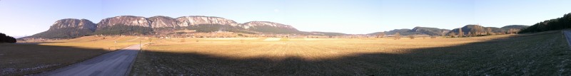
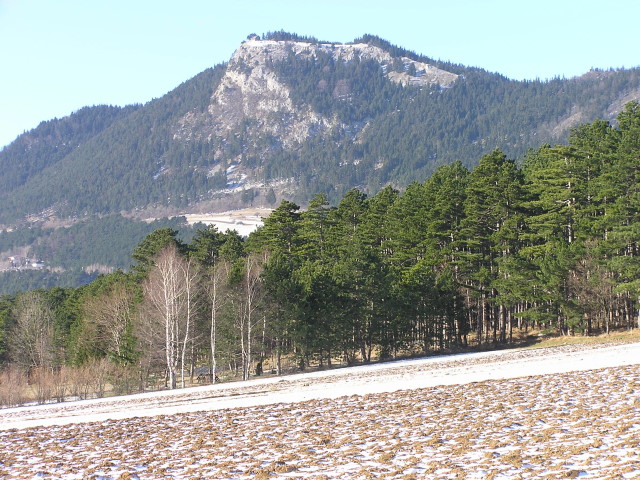
Panorama of Hohe Wand, "Neue Welt" and Fischauer Vorberge. On left edge of picture Schneeberg peers. Click on the image for better resolution