Schneeberg - Waxriegel 26.2.2011
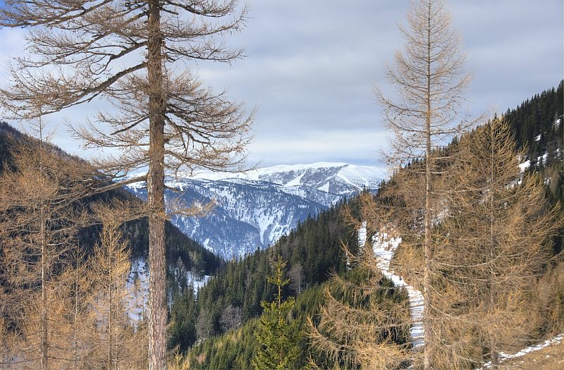
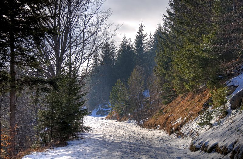
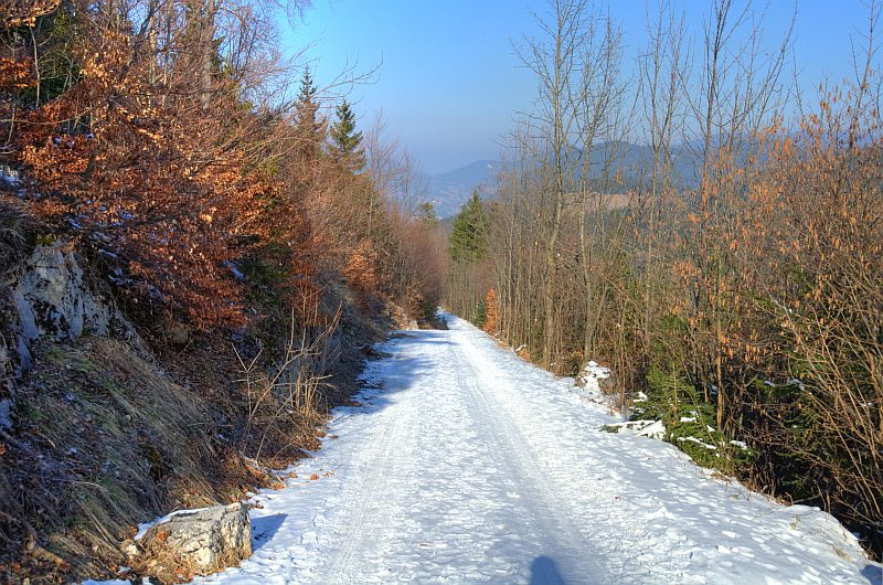
For a long time, I fancied doing a walk on Schneeberg in winter. Today is a good day: the family is engaged in a course making needled felt and won´t miss me, the weather is forcast to get cold, but bright, and regarding the pictures of the webcam, it is not very much snow up there. Obviously, it cannot get much better, so I break up from my home at 7:45 and start my walk a bit above Puchberg at 8:15. First I walk a gravel road along the tracks of the rack railway to the station at Baumgartner, then up the snowy route to the summit station of the railway, followed by a short walk to the summit of Waxriegel (that is the small summit behind the summit station of the railway, at an altitue of 1.888 m).
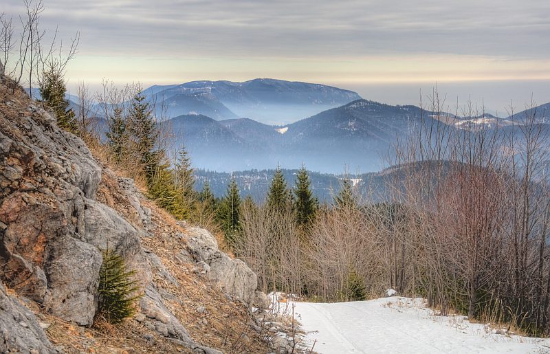
The view back to Puchberg at the beginning. Sadly, a high cloud layer is covering the sky, but good conditions apart from that: cold at about -6 °C, calm, and good visibility.
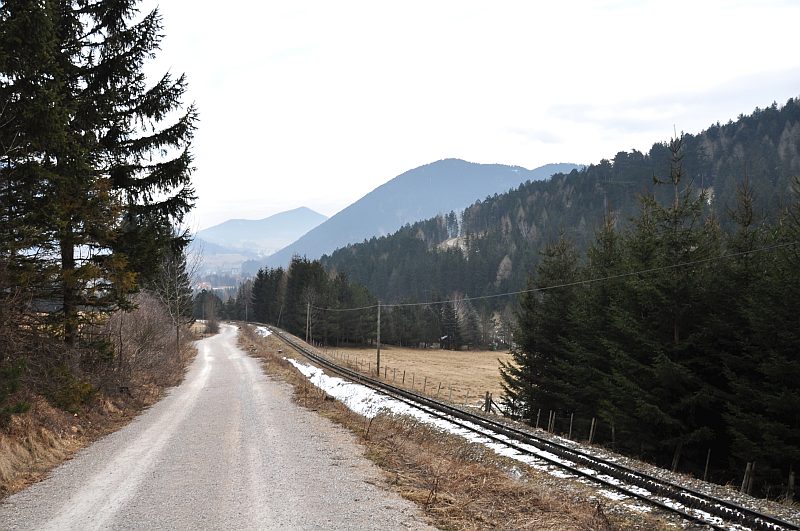
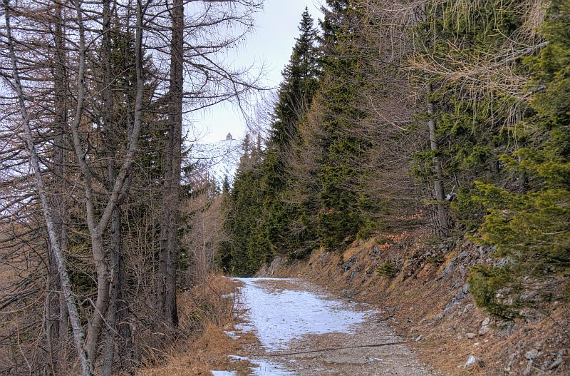
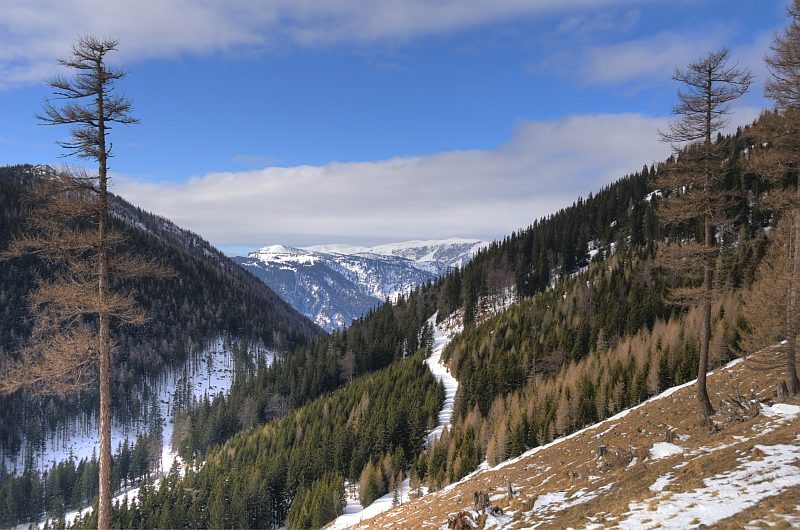
The route is leading along the eastern slopes of a ridge named Hoher Hengst, always in parallel to the tracks of the rack railway.
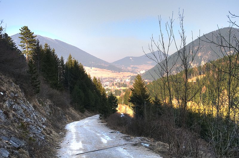
After a while - the view down to the Rohrbach valley.
A bit more up, in the background ...
... Hohe Wand.
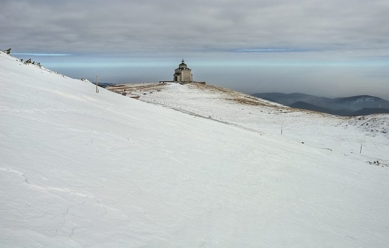
After a curve, the first glimpse of St. Elisabeth´s chapel at the edge of the Schneeberg plateau.
Kaltwassersattel ("Cold water saddle") - Hoher Hengst is already behind me.
Here, the more direct, steep path up from Schneebergdoerfl via Miesel dale is ending. I did not know the conditions there, so I decided for the easier, though longer route along the railway.
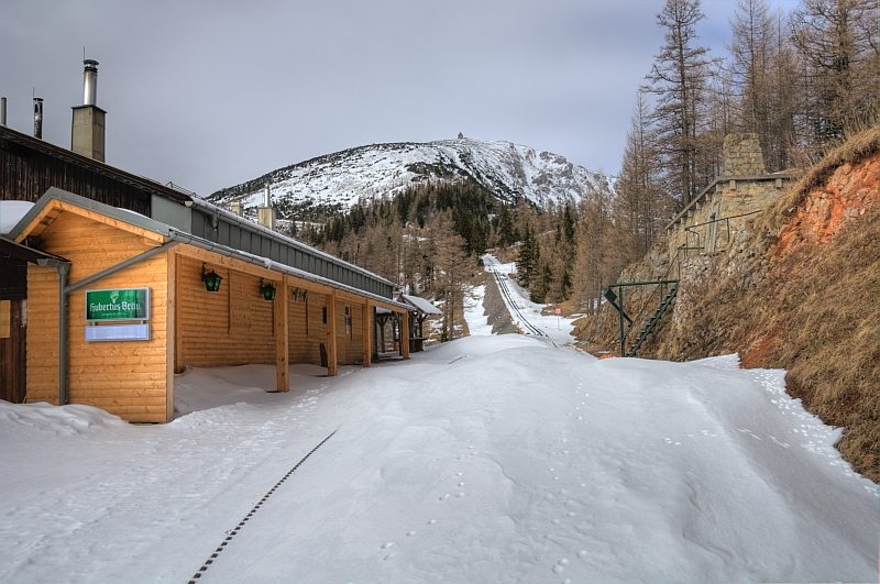
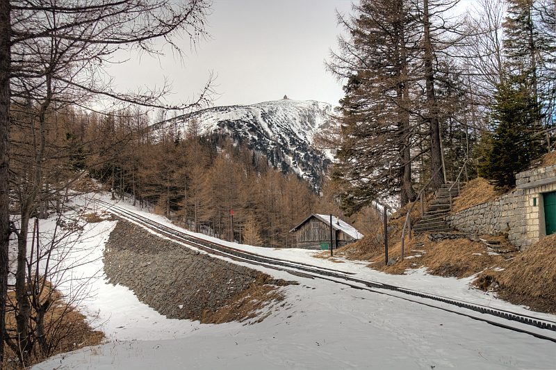
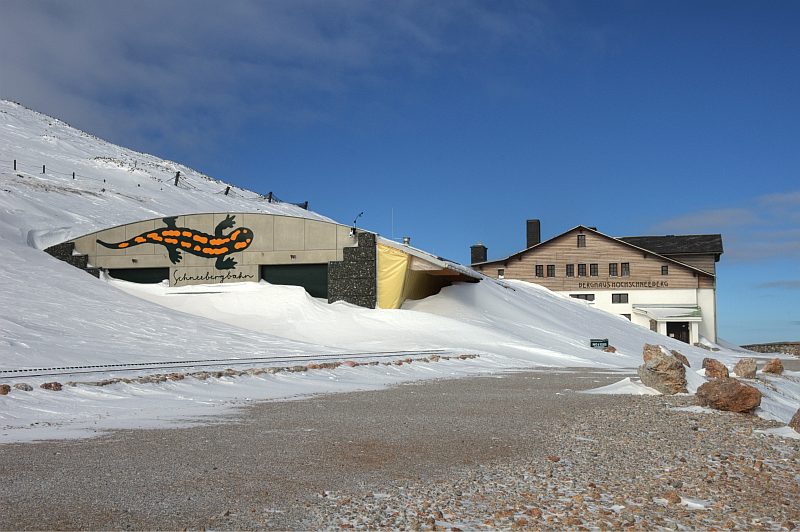
The railway station at Baumgartner - under high cornices.
The view upwards - the church is much farer than it seems to be from here.
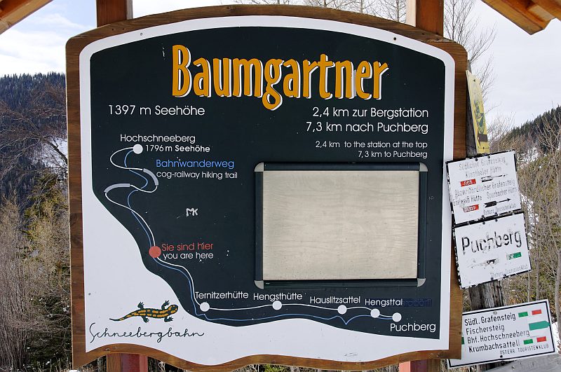
1.397 m altitude - still 400 m of ascent, making up for another hour of walking.
The Baumgartner station
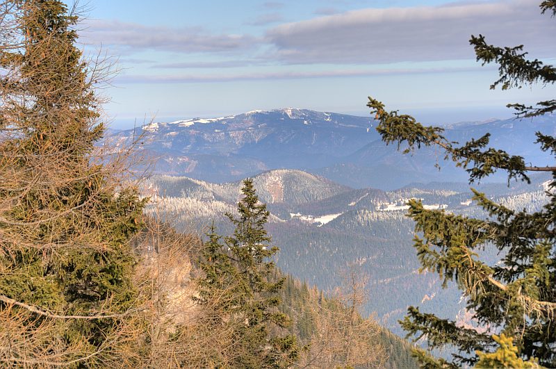
First view of the Rax massive.
The sun comes out now, making everything looking a bit different.
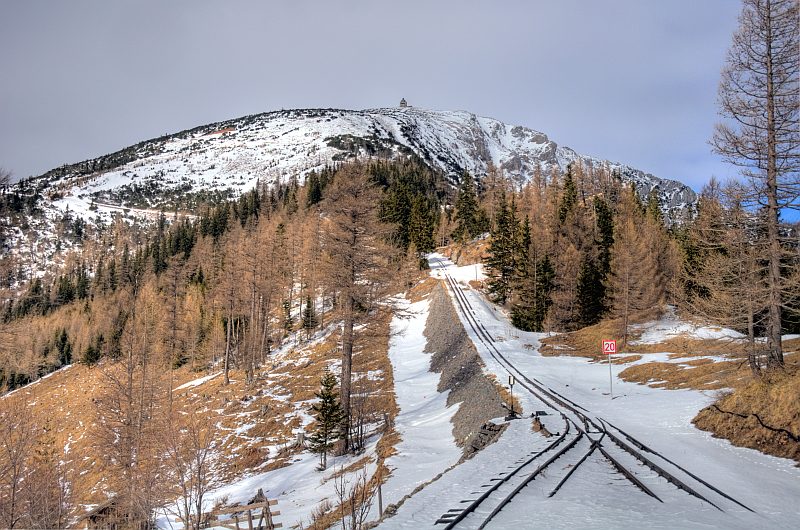
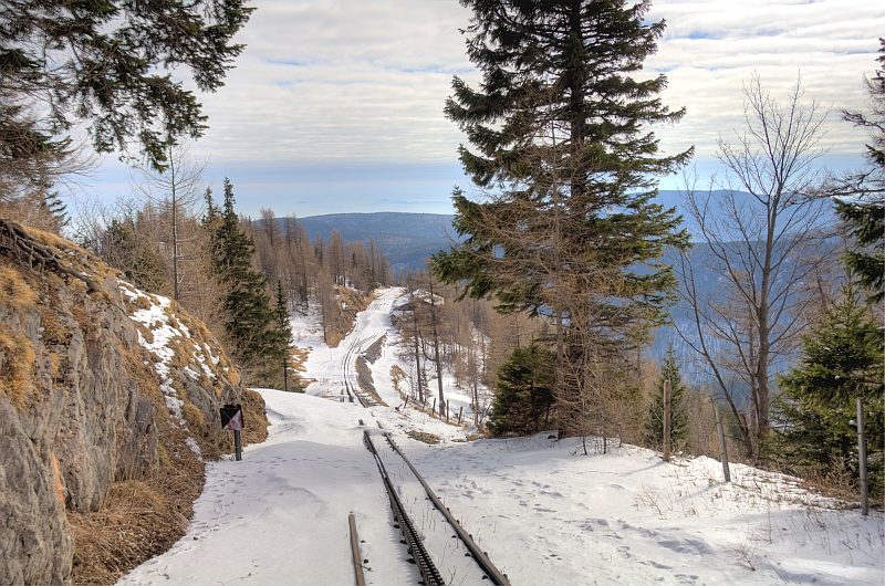
The plate saying you must not walk on the tracks, is good for summer, when trains are going. The dam is high and very narrow, no room for a walker and a train. Today, however, there are no trains, and the regular path is covered with deep snow, so everybody walks up here, on the wind blown dam.
View back to Baumgartner station. After passing a second high dam, my route branches off the tracks.
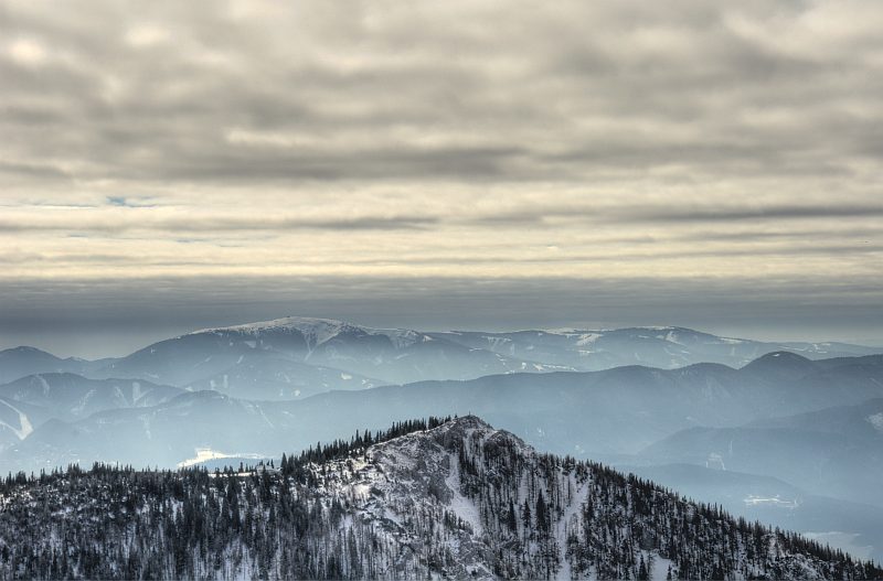
View to Unterberg. On the forested hills in front, a few days ago the mist of an inversion must have been; the wind of the recent days has removed much of the hoarfrost, except in sheltered places.
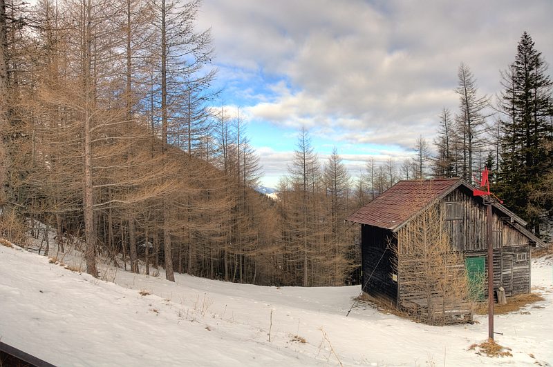
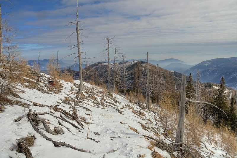
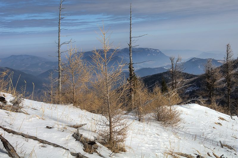
About 20 years ago, a wood fire has destroyed much of the forest in this area, at the end of August after an extraordinary hot and dry summer (they say, that flying sparks from the railway´s steam engine caused the fire. Nowadays, nearly all trains are driven by diesel engines). The regrowth of the forest is very slow at this high altitude.
Hohe Wand
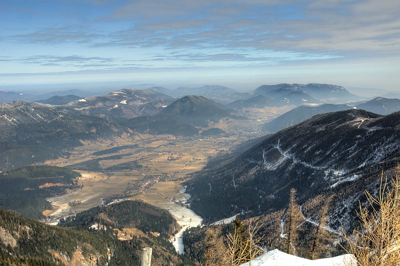
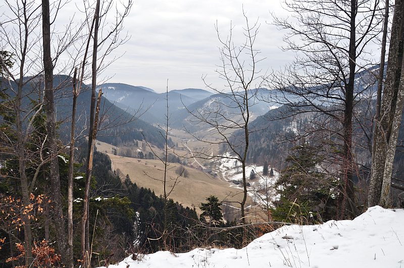
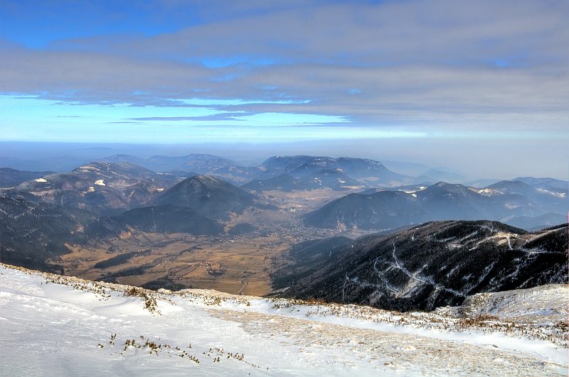
View down to Schneebergdoerfl and Puchberg, situated already about 1.000 m deeper. Behind is Schober/Oehler and Groeszenberg, to the right is Hohe Wand.
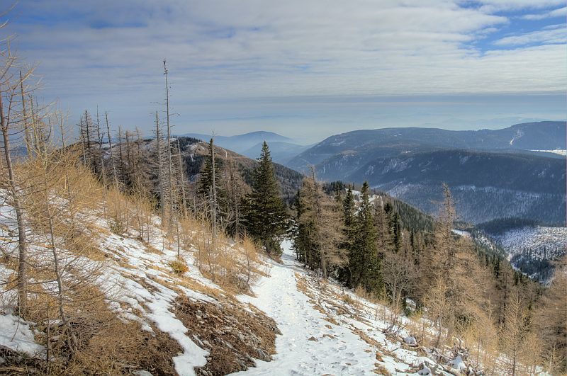
Hoher Hengst (1.450 m) - behind its forested ridge the tracks of the railway are leading up - and also the route where I walked up.
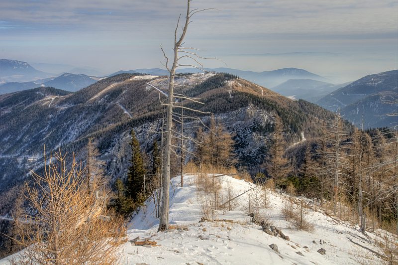
Mostly Alpine dwarf pines regrowing here.
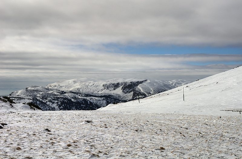
View to the Rax massive - in sunshine now.
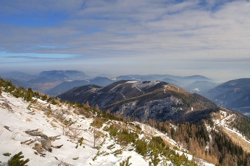
Krumbachstein (1.602 m), with Stuhleck (1.782 m) behind.
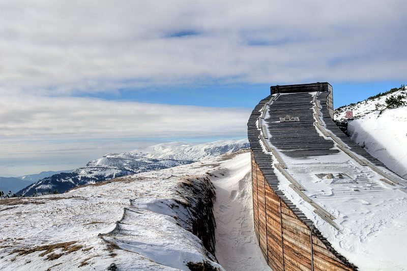
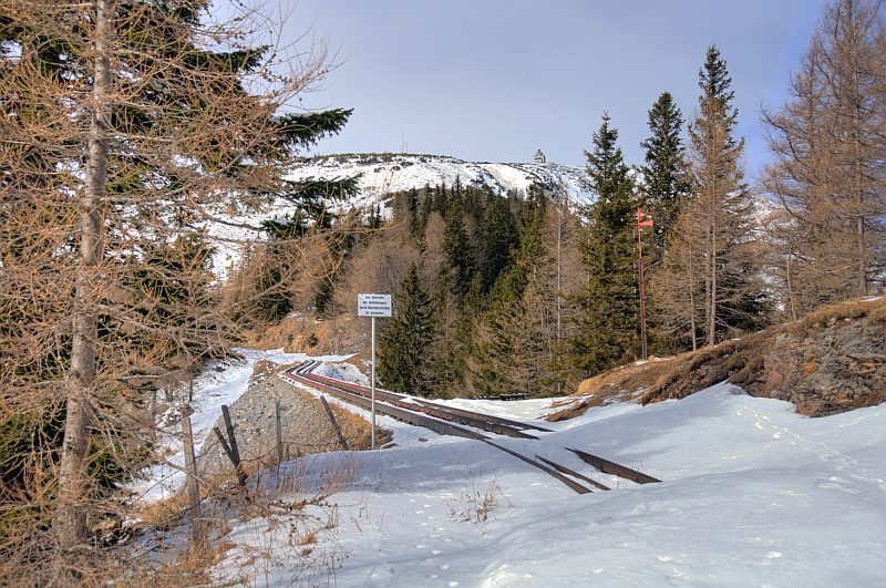
In its uppermost parts, the track of the Schneebergbahn is leading through tunnels, the entrances of which are protected against snow drift by wooden constructions.
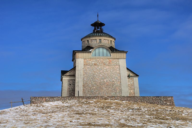
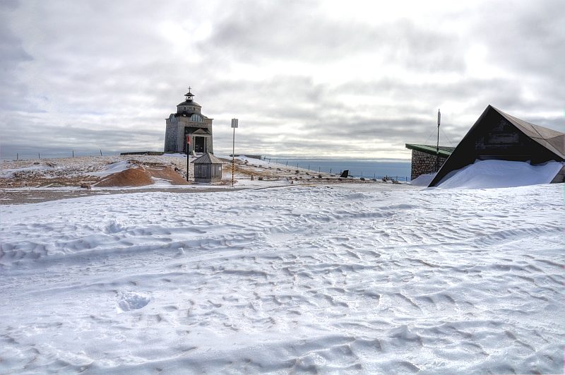
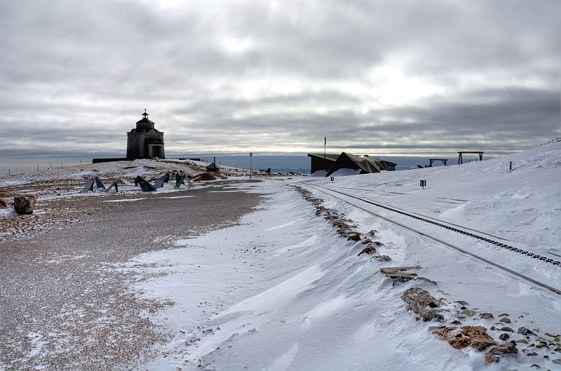
At the Elisabeth´ church (1.803 m) at last.
Stunning view to Rax.
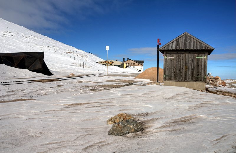
Near the summit station of the Schneebergbahn. The ribbed snow cornices are covered with fine dust from the nearby wind blown gravel path.
There is a web camera mounted on the church. Being alone up here, I thought, I could wave into the camera:
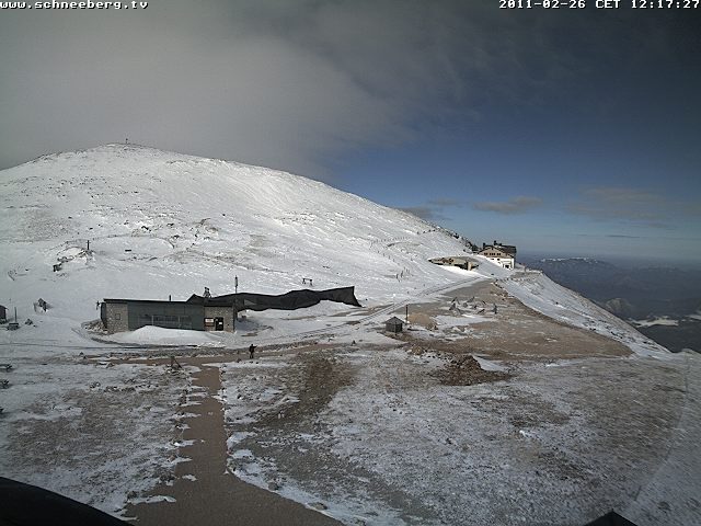
Thanks to Otto Steinmann, boss of the Stone-Rich company, I may use this picture of his web camera - in the meantime one of 15 Webcams - taken at 12:17. Big Brother is watching you ...
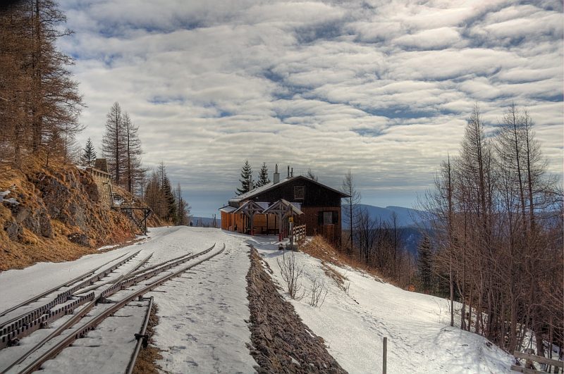
The new summit station of Schneebergbahn - hidden by huge amounts of drifted snow.
View from the station down to the valley, over Puchberg. Vienna´s plain is in the dust, but up here the air is clear.
The snow drifts are stiffly frozen after a big thaw, so you can walk over the snow without caving in. Thanks to my Kahtoola Spikes, it is no problem for me to walk up the steep slope on ...
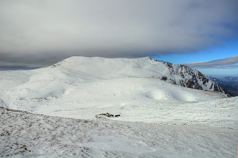
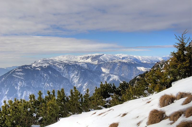
... Waxriegel (1.888 m). This is the view to the Schneeberg summit ridge with Klosterwappen (2.076 m) to its left. My plan was to walk as long as possible and reasonable. I decide to turn back at this point, at estimated -5 °C and wind speed of 70 km/h, at 12:40 a.m. The further walk to Klosterwappen and back would take at least 2 more hours, and I already have walked 4 1/2 hours to here. Furthermore, days are not long enough still.
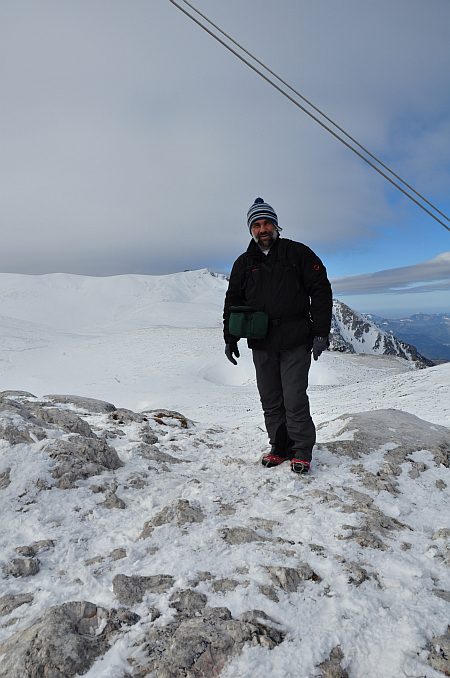
I meet just one more walker (maybe the only one of the day), and we take pictures from each other.
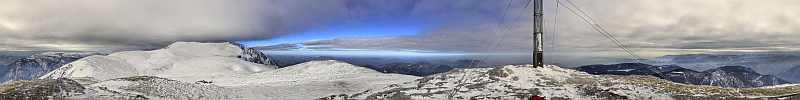
360 degree panorama from the summit of Waxriegel (1888 m), Schneeberg massive. The sun is behind clouds once more. Click here or into the picture for a larger version. I had to constantly hold down the tripod used for the single pictures - otherwise it would have been blown away.
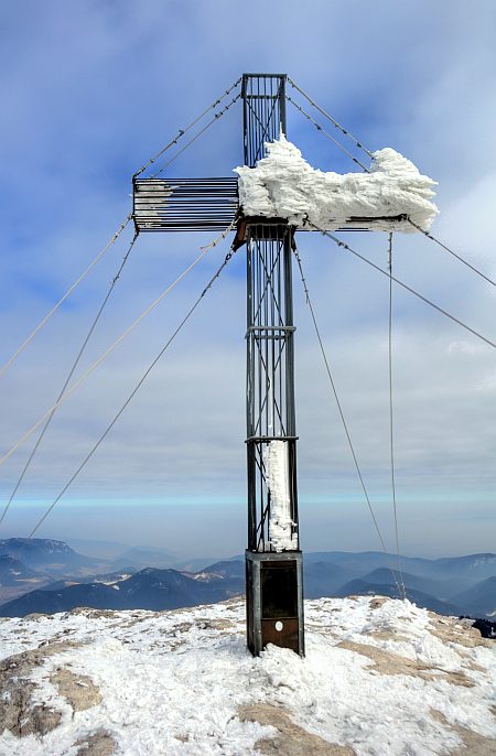
The wind has blown most of the hoarfrost off the summit cross.
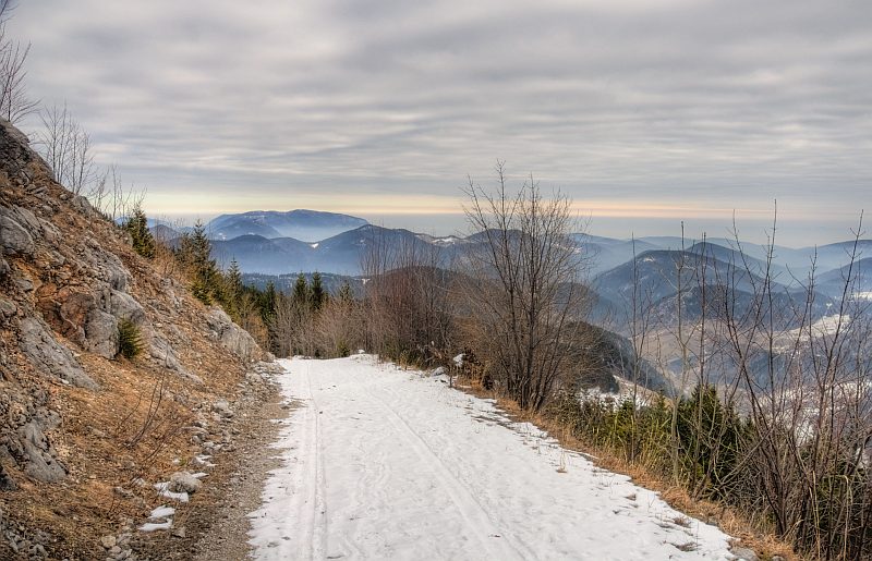
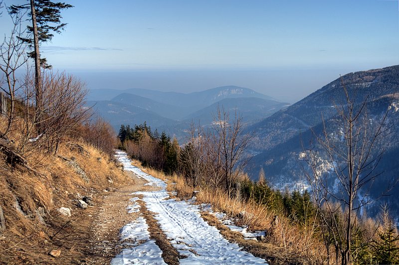
On the descent. Somewhere here should be the gravel road I was walking along with Roger and Ann Hiley on May 28th, 2010, from the railway station to Klosterwappen and Fischerhuette. Now, it has completely disappeared under the snow drift.
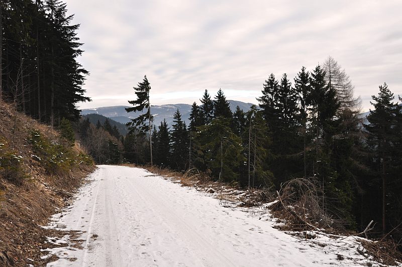
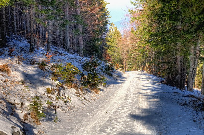
Back to more calm areas.
Now, when I am walking down through the forest, the sun comes out ...
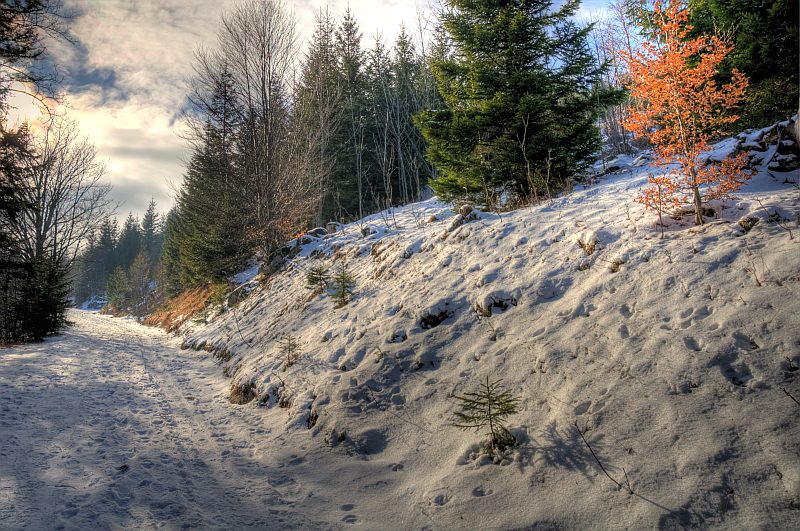
... and brightens my way down ...
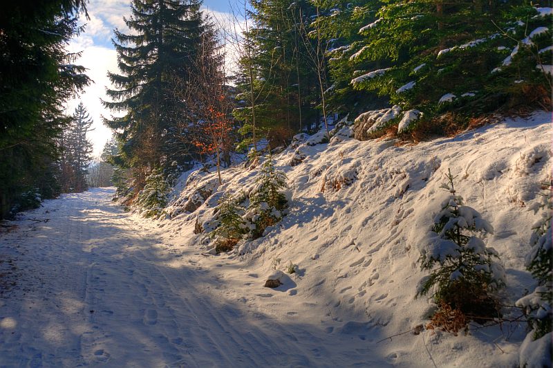
... by enlightening the magical winter scenery.
Back near Puchberg and the car, at about 3:15 p.m.