Obersberg 1.10.2011
For more than a week now we have got continuous calm, beautiful, warm, at times even cloudless weather. I have spent much of the recent days with gardening, so I am glad that Herwig Gießwein dropped me a Mail asking for a mountain walk. Regarding that half of Vienna´s population will be out at this season and that weather, I got the idea to try Obersberg. The hut up there i already closed, and anyway the area is not very popular, despite the fact that it is described to be marvellous. I can completely share this opinion since now.
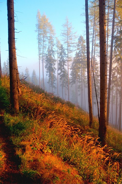
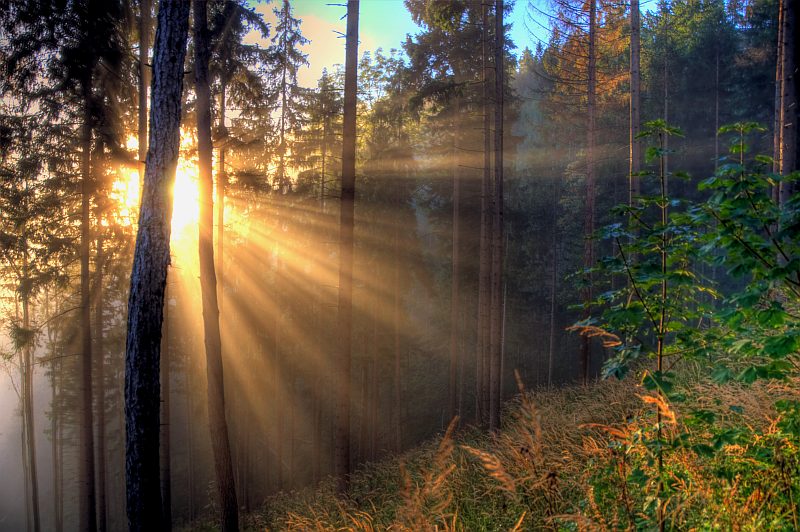
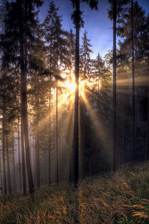
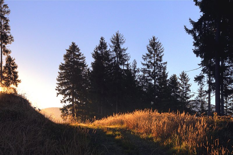
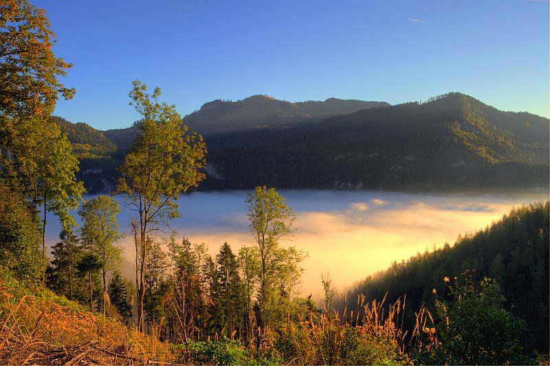
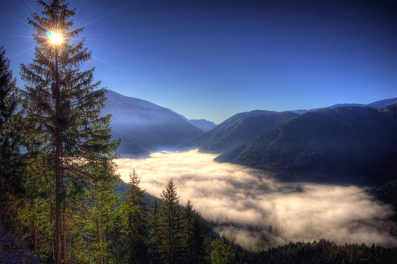
We meet at 6 a.m. near the village of Piesting, then drive through the Piesting valley and over Klostertal saddle to Schwarzau im Gebirge. First however, we further drive into the Prein dale and drop my mountain bike at a location called Triebl (I shall use the bike to ride the 10 km distance back to Schwarzau to get the car). At that time, dense fog is laying over the Hoellental; soon, however, we get a first glimpse of the sun.
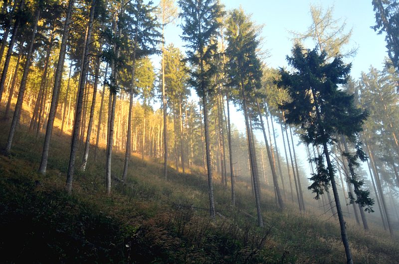
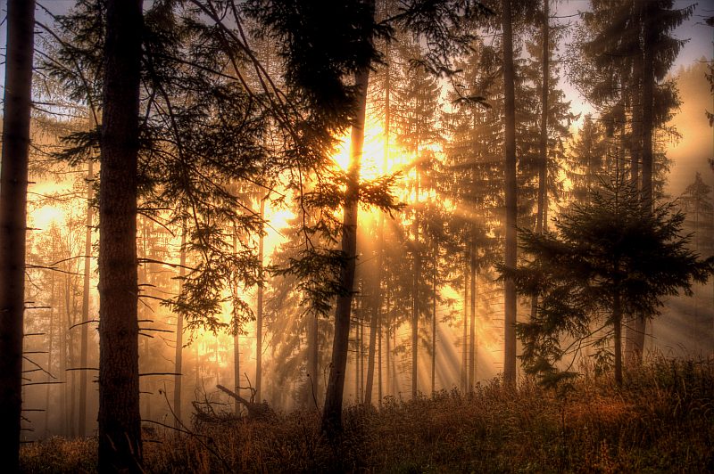
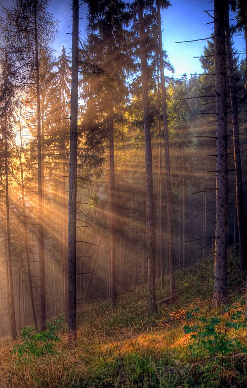
First rays of sunshine in the mist. In this situation, we need an hour for half an hour´s distance because we try to catch into pictures this unique situation ...
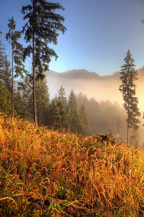
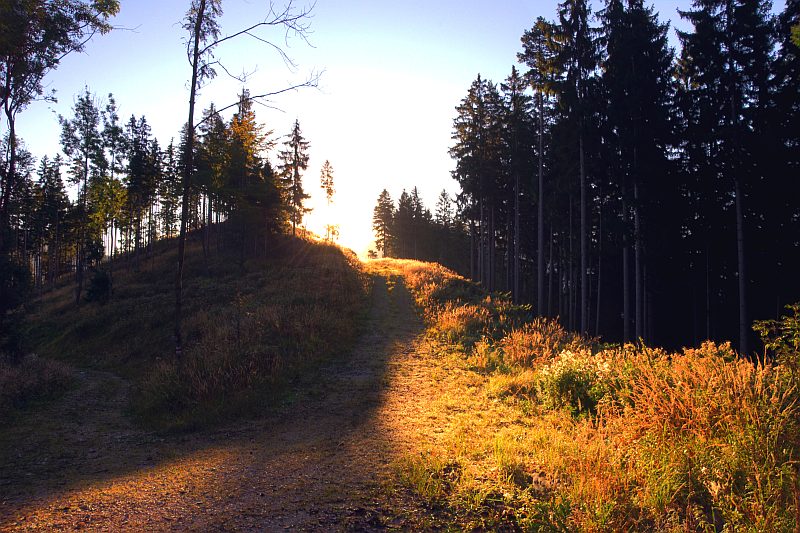
After a while we still get above thge mist.
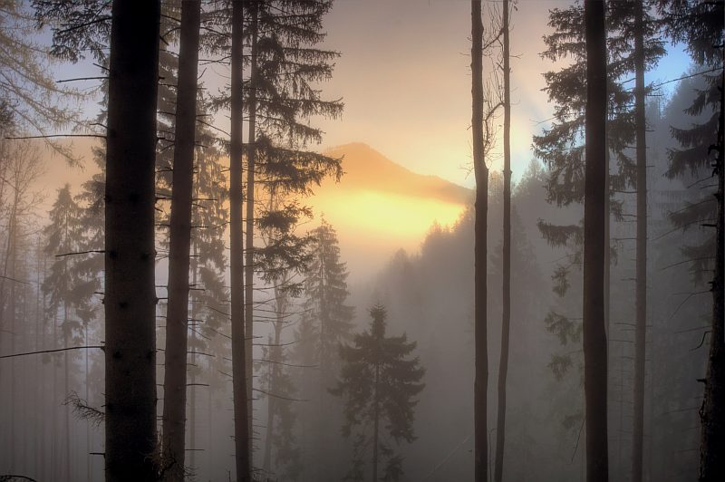
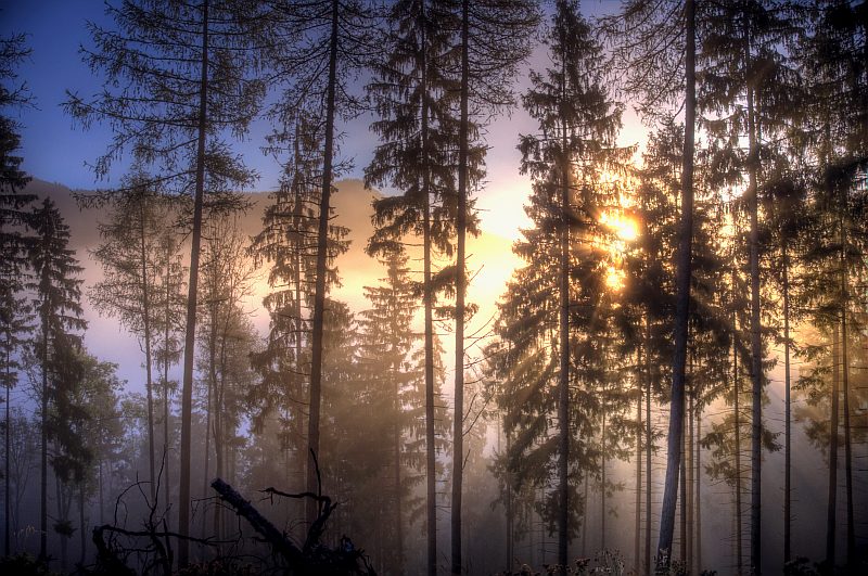
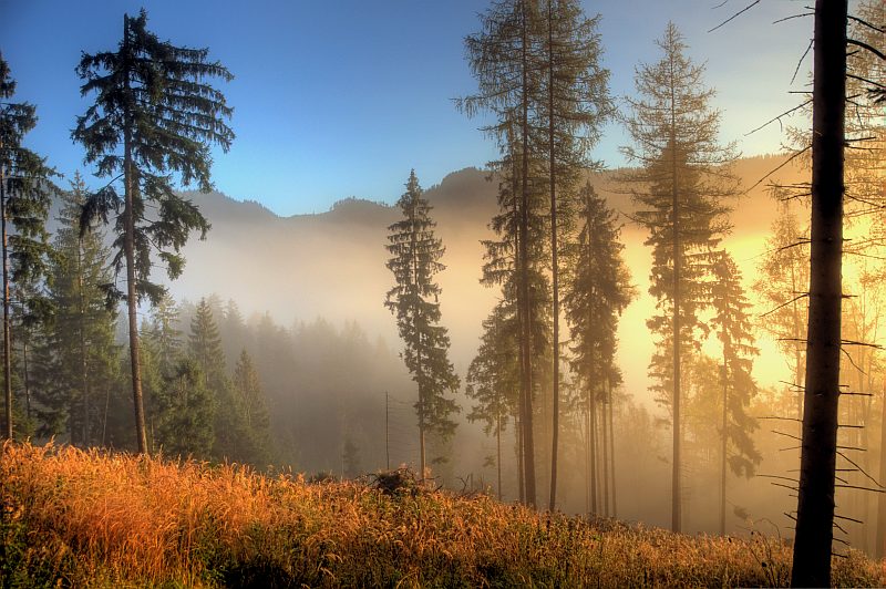
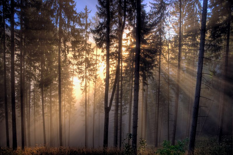
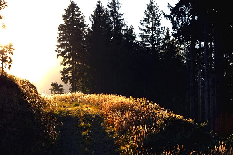
Morning light ...
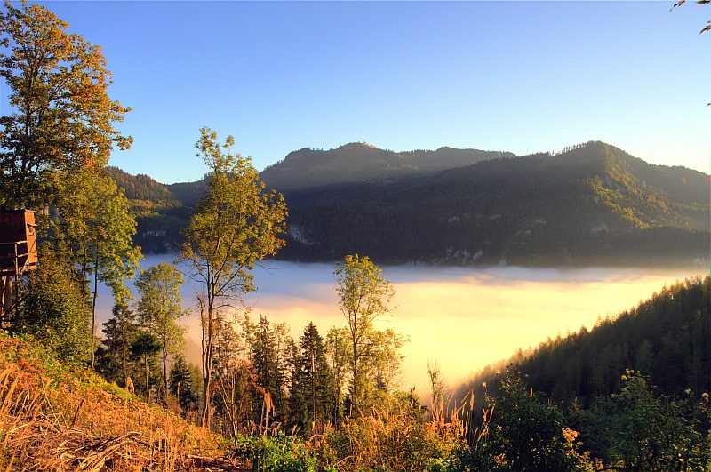
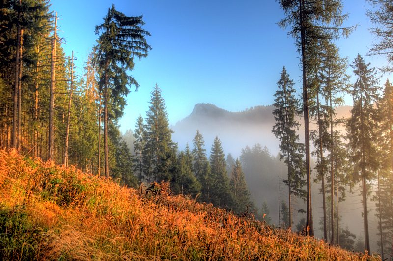
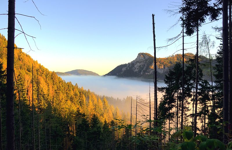
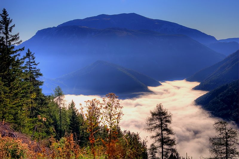
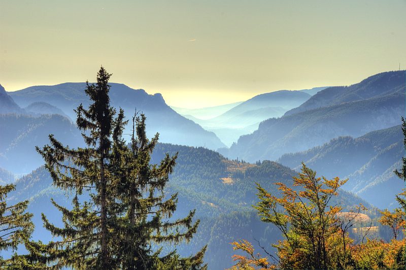
Now we look down over the valley where Schwarzau is hidden in the mist.
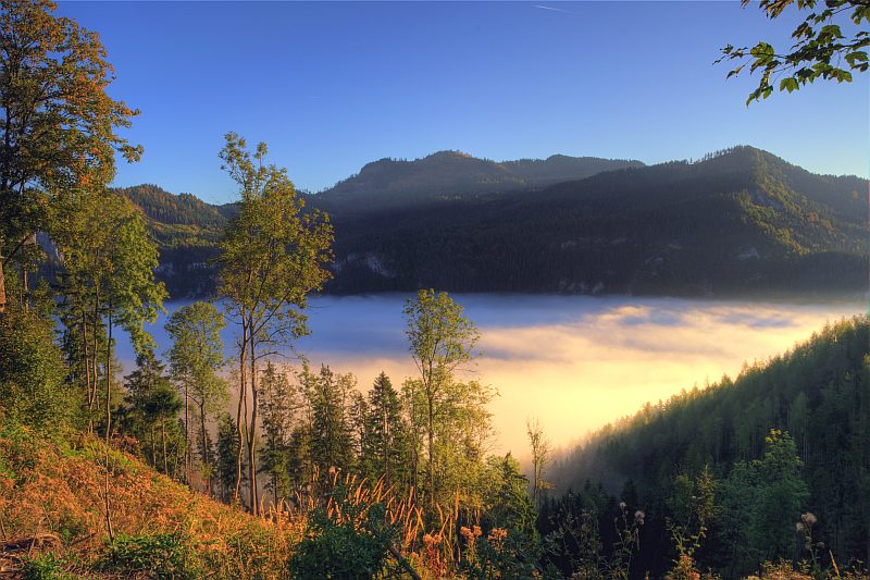
After a short distance another view down to the Hoellental.
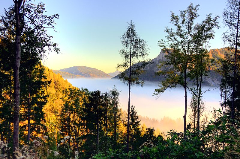
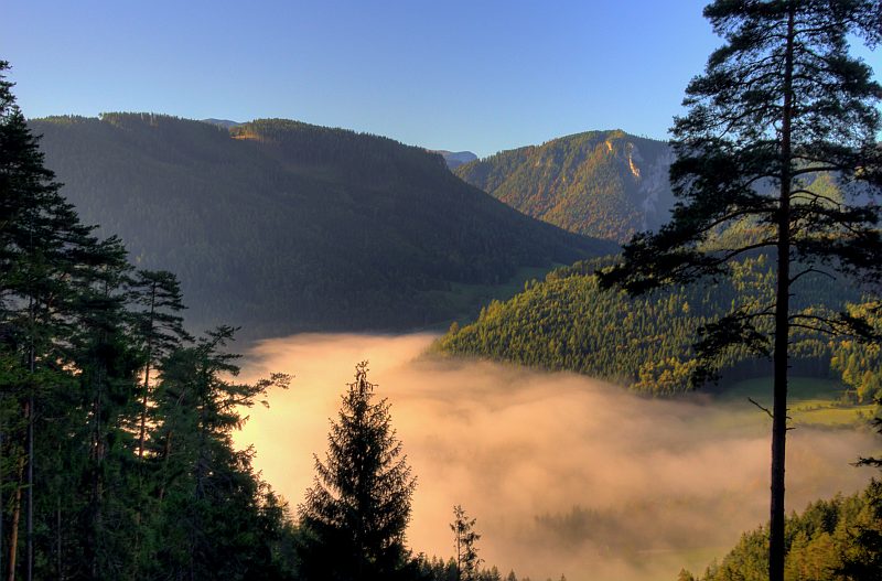
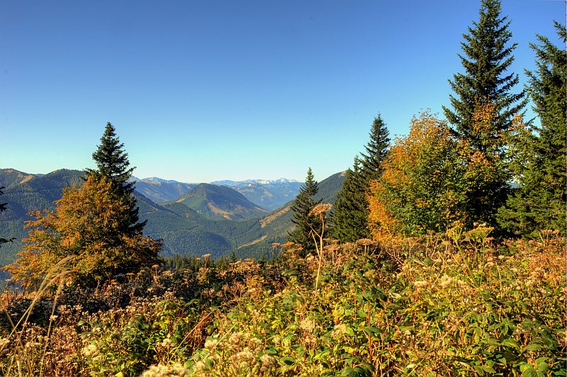
A good bit higher now, we are walking away from Hoellental in a western direction, along its side valley, the Preintal. Still mist in the dale ...
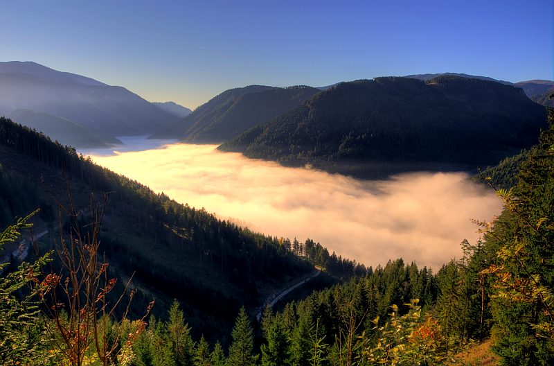
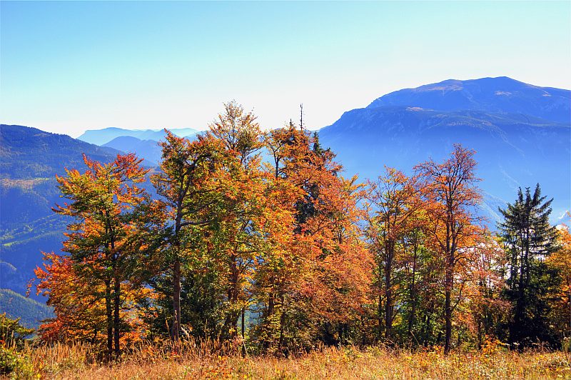
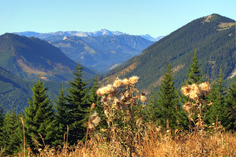
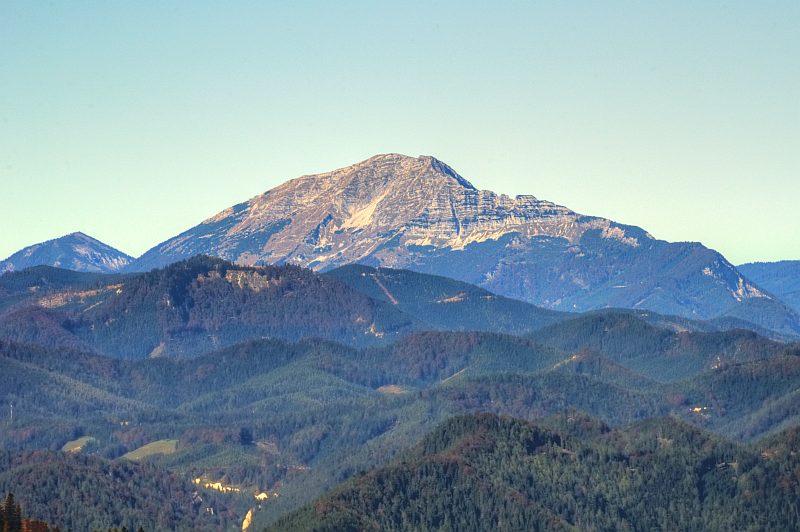
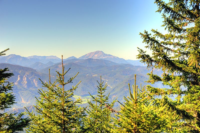
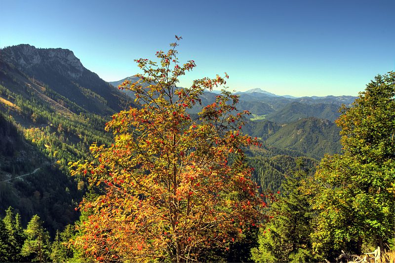
... but behind it we now face Schneeberg.
Spot the Fischerhuette on the Northwestern summit (left) and the radar station on the true summit, the Klosterwappen (2.076 m).
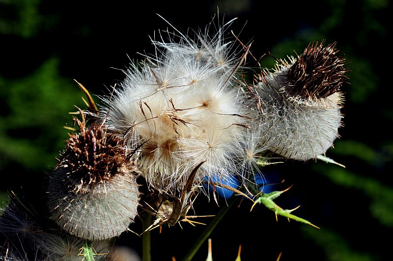
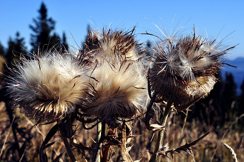
Thistle seeds along the path.
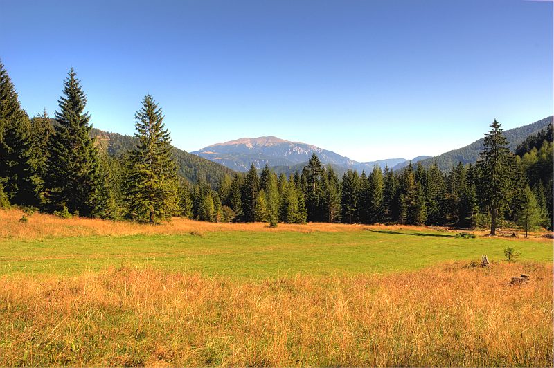
We now have reached the ridge-region, the summti is quite close. Smooth mountain pasture grassland, with the view to Schneeberg Kuhschneeberg in front of it. If you draw a line from here to Schneeberg and continue that line on the other side, you approximately get to Winzendorf, my home village.
To the left of Schneeberg is Hohe Wand

Unterberg
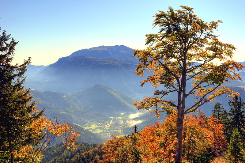
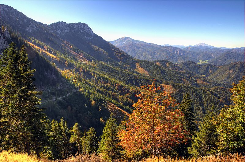
View down the Hoellental, the prominent peak is Mittagsstein, to its left is Krumbachstein. Schneeberg to the left ourtside the picture, as well as Rax to the right.
Mists nearly dissolved now.
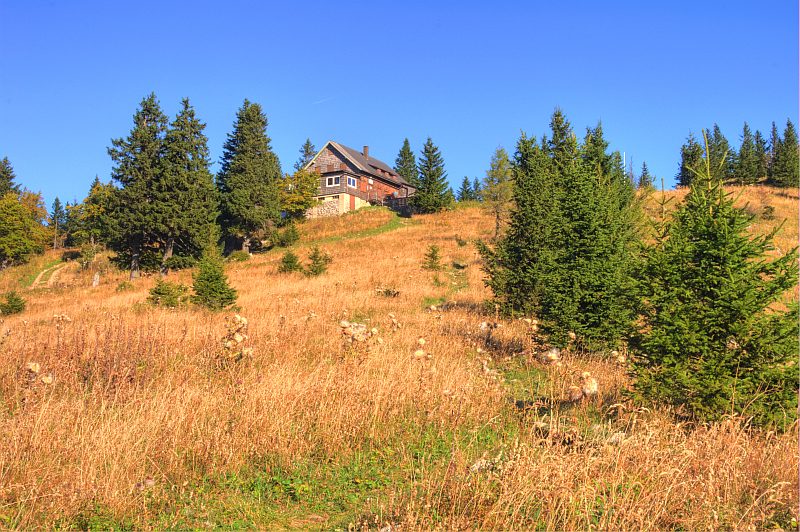
The summit with the Waldfreundehuette.
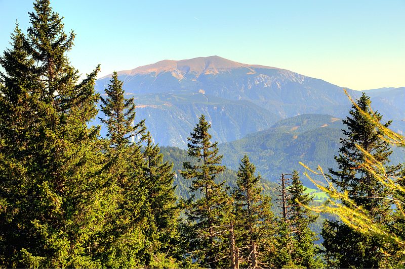
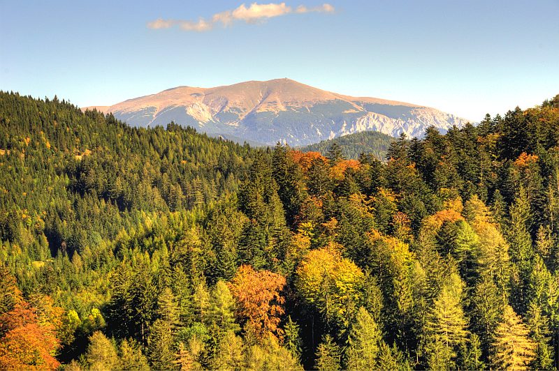
The view to the west to the Hochschwab massive.
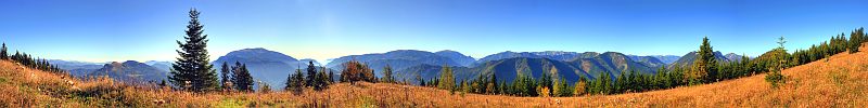
180° panoramic view from Obersberg to the south. Click here or into the picture for a larger version.
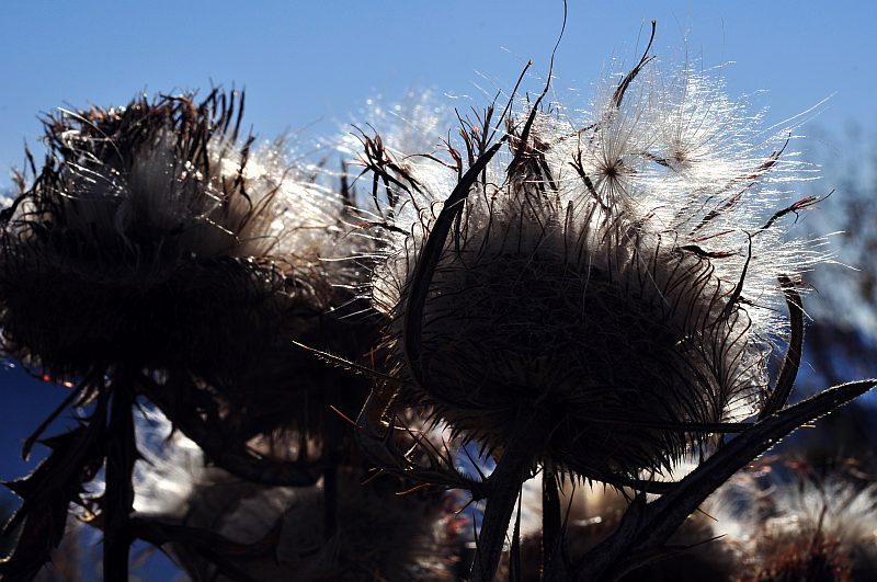
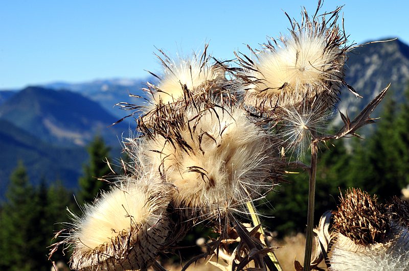
Thistle seeds
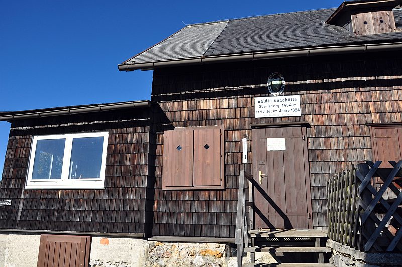
Waldfreundehuette. The plate on the door says, that the renters are contractually obliged to keep the hut closed between mid September and mid Oktober. Completely incredible regarding today´s weather and only explainable by the extreme egoism of a certain lobby of this country.
High shrub behind the hut, and a glimpse of Hochschwab.
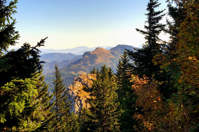
Summit rocks of Obersberg with Handlesberg (1.370 m) behind.
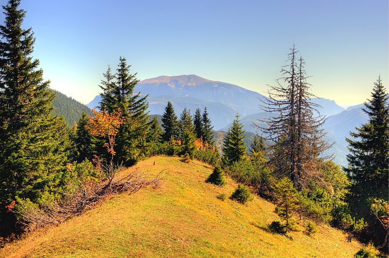
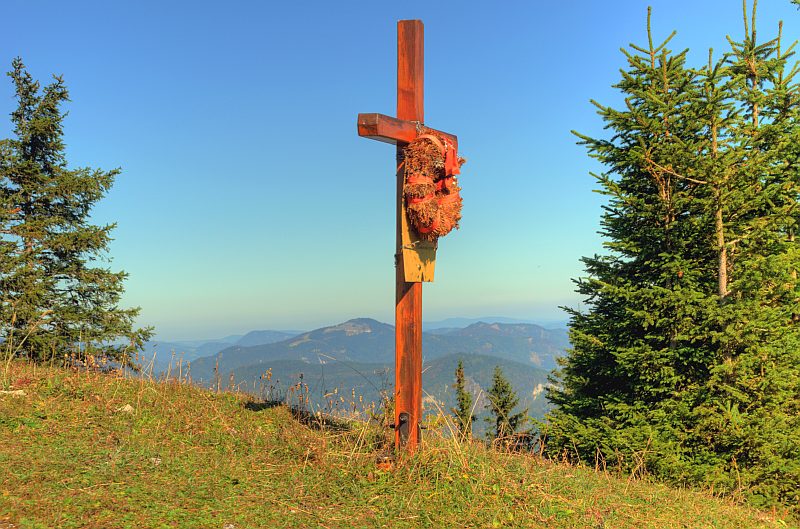
A few metres behind the hut there is the summit cross of Obersberg at an altitude of 1.467 m. Here you get the view to the North and West - this is Oetscher (1.893 m) ...
... and this is Goeller (1.766 m)
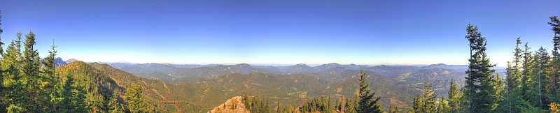
Northern 180° panoramic view from Obersberg summit. Click here or into the picture for a larger version.
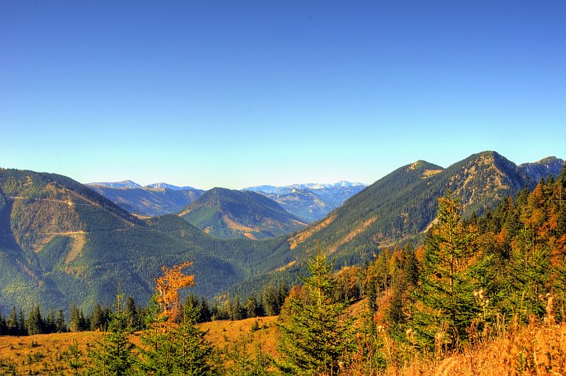
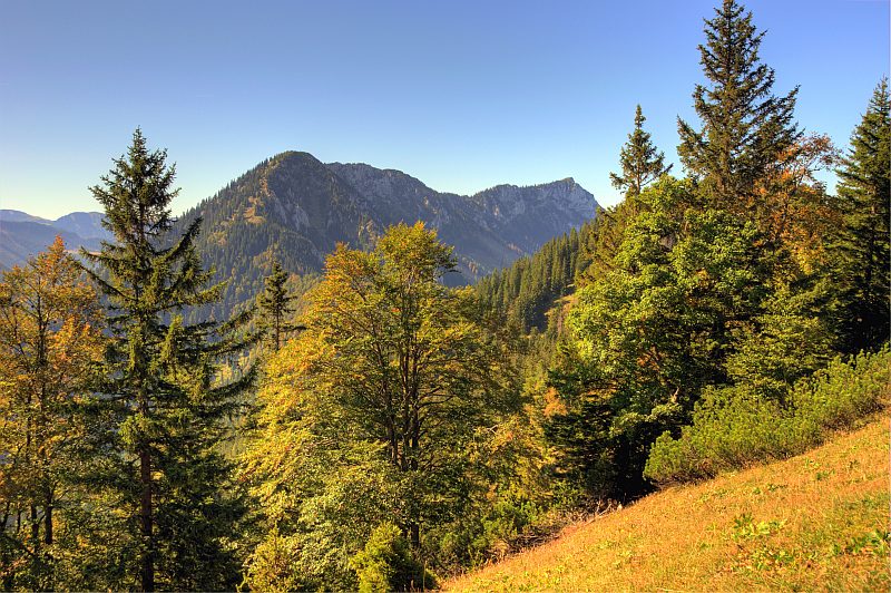
We now walk along a ridge called "Mistelbacher Hoehe" leading till Preinecksattel where the massive of Gippel (far right in the picture) and Goeller begins. Hochschwab in the distance.
View back along the ridge to Schneeberg.
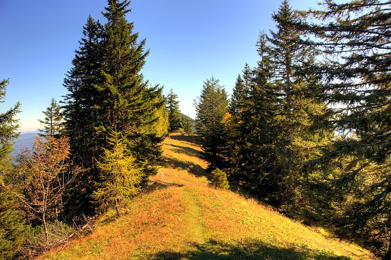
Partly waling through steep forest, in many parts however over beautiful grassland like this.
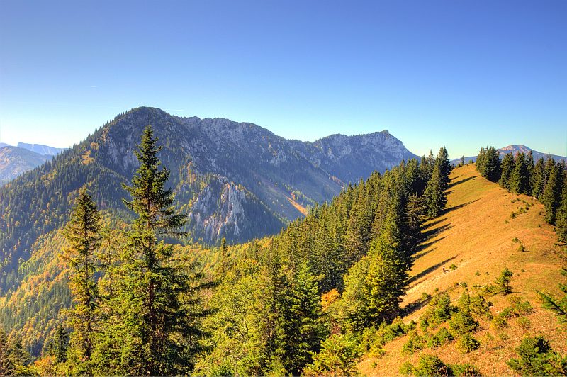
"Gippelmauer" ("Gippel wall") with the Schwarzauer Gippel (1.603 m) in the foreground and the "true" Gippel (1.669 m) in the background.
View back to Schneeberg
Smooth grass ridge till Preineckkogel, then it drops down to the left to the Preineck scar. We decide to not climb Schwarzauer Gippel.
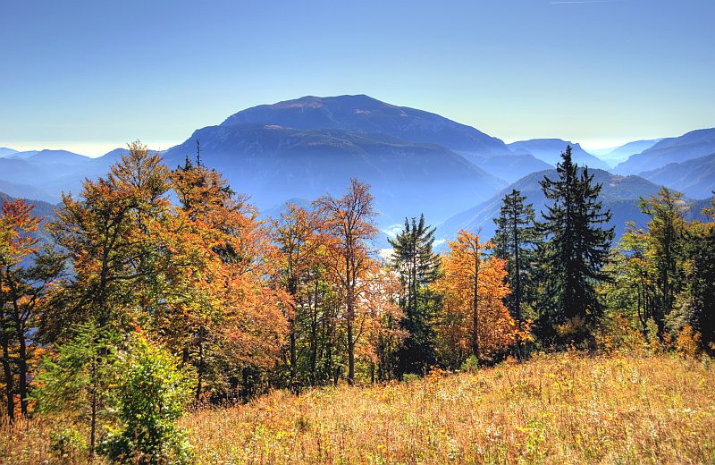
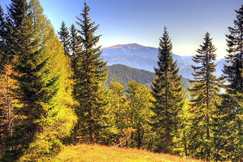
View through the trees to Oetscher, far left the Gemeindealm with its skiing area.
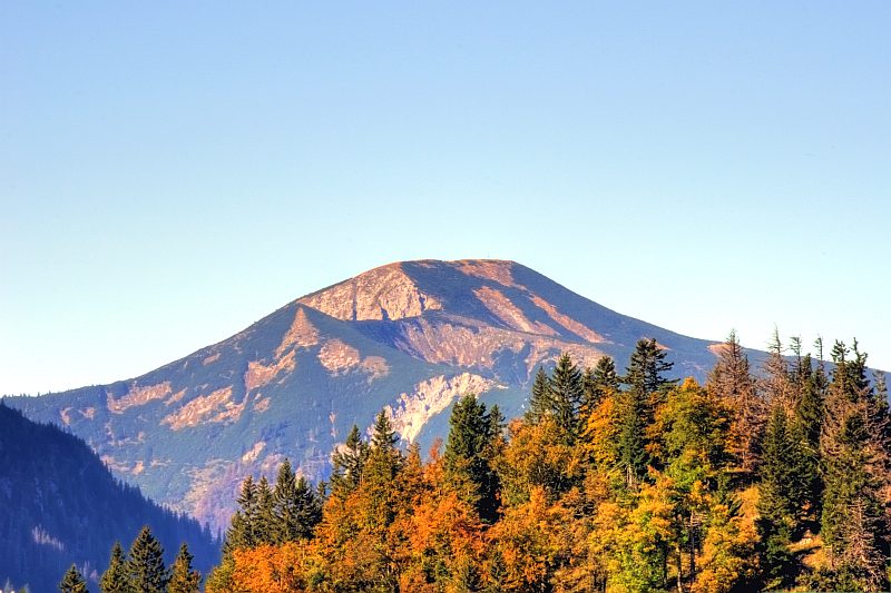
Schneeberg is now in full afternoon sunshine, much better illuminated than in the morning.
Remembrance cross on Preineckkogel, not on its highest point - this cross was erected in remembrance to a walker who died here on heart failure - the most frequent cause of death in the mountains (more frequent than accidents!)
On the descent to the Preineck saddle: view along Gippelmauer to Goeller and Oetscher.
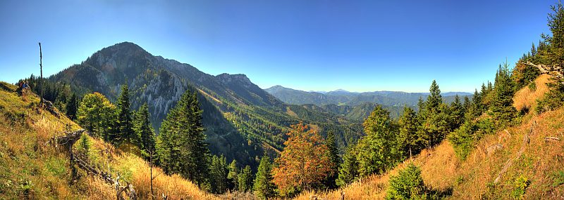
180° panoramic view to the West from near Preinecksattel. Click here or into the picture for a larger version.
---
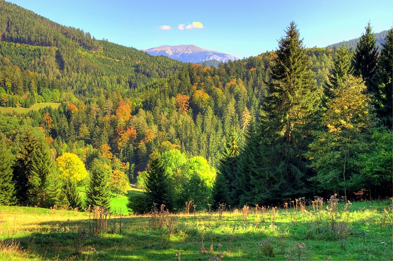
After a steep descent from Preinecksattel we are crosasing the lovely Baerenboden.
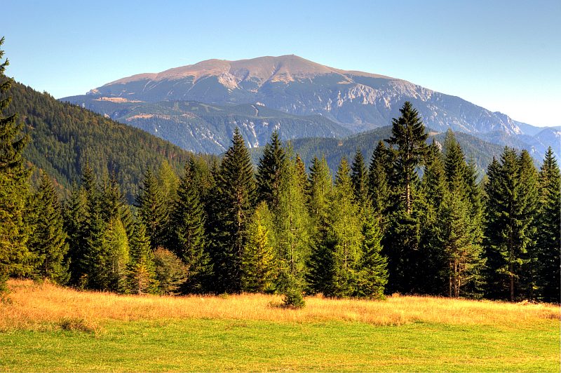
Schneeberg in full afternoon sunlight.
However, the shadows grow longer ...
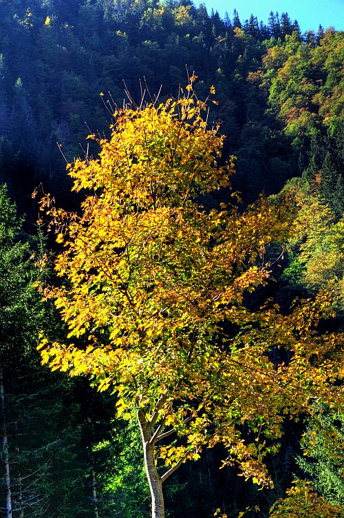
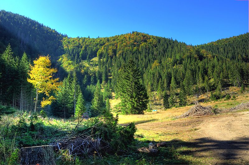
... and the trees are getting yellow.
A last glimpse ...
... to Schneeberg, from a bit above Schlagerbauer.
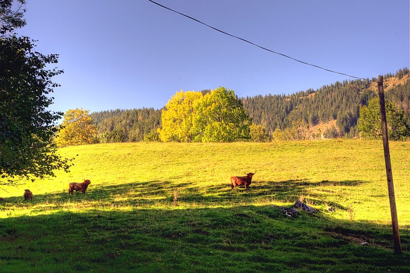
Highland cattle on the autumnal pasture near Schlagerbauer. Close to here, a small water power plant is buzzing on a crital clear beck - it seems to support electric power to the farm.
Now for a 10 km mountain bike ride (mostly descending, but with a short, 1 km 100 m reascent in between), and getting back to pick up Herwig.