Day 2: "Langdale Pikes from St. John´s in the Vale" - the central ridge
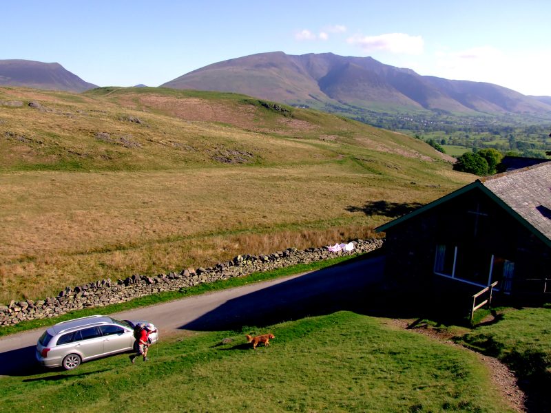
In the morning, John drove me up to the little church of St. John´s in the Vale. From there we first had a short look to Low Rigg, with a glimpse on Tewit Tarn, then we walked over High Rigg and down to Shoulthwaite Farm. From there we took the very steep direct ascent on Bleaberry Fell. There John said goodbye, and this was the start of a long, at times extremely boggy and a bit exhausting walk over High Seat, High Tove, Blea Tarn, Ullscarf, High Raise, Sergeant Man and Thunacar Knott. Near a small, peaty tarn between Thunacar knott and Harrison Stickle, I dropped my rucksack and walked the Langdale Pikes just with my walking poles. I put up my tent near this tarn, on a flat, soft, peaty, though after several days of dry weather not really wet place. I was rather tired after nearly 12 hours of walking, the night started with shivering of coldness because of low energy and having eaten only very few, but afterwards when I had warmed up I slept very well. 11 Wainwrights on that day!
We parked the car at St. John´s in the Vale and at first had a little stroll (without the rucksacks) to Low Rigg.
View from Low Rigg to Tewet Tarn and Blencathra
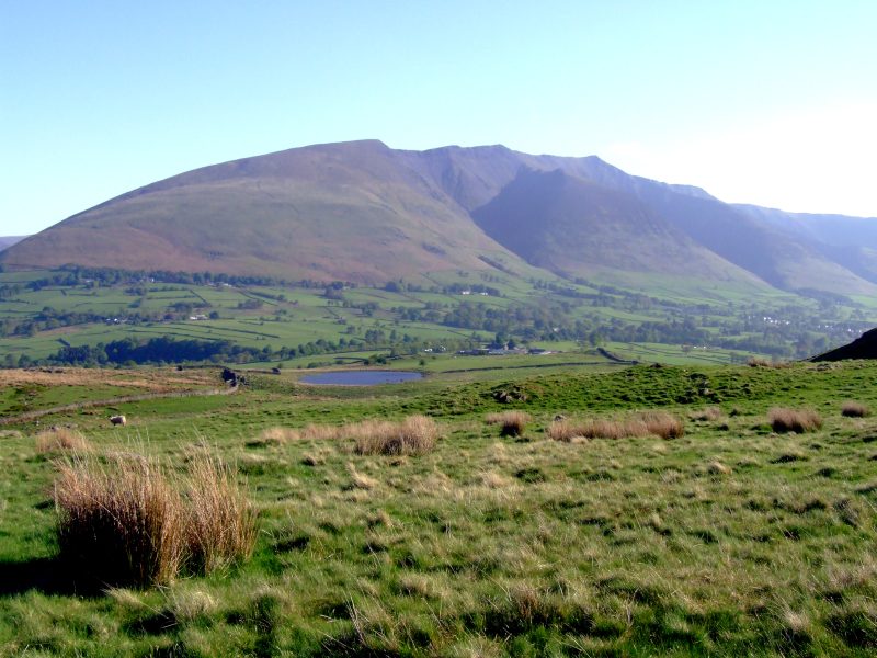
The Skiddaw massive from Low Rigg, Latrigg far left.
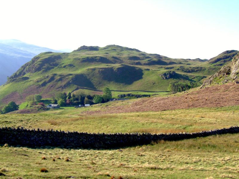
Bleaberry Fell from Low Rigg. In the valley the camping ground at Dale Bottom to the right, Shoulthwaite Farm far left.
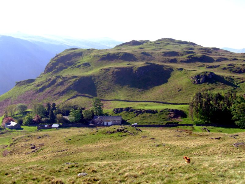
St. John´s in the Vale, the church is hidden behind trees. High Rigg behind.
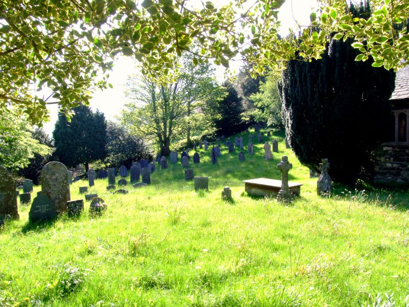
The churchyard of St. John´s in the Vale
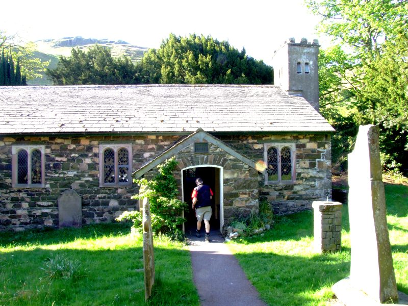
The church of St. John´s in the Vale
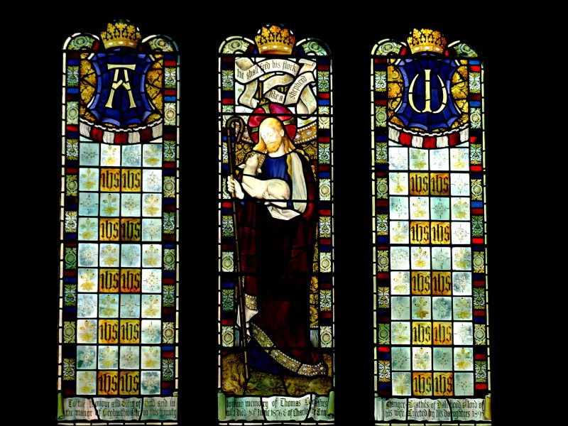
The windows behind the altar
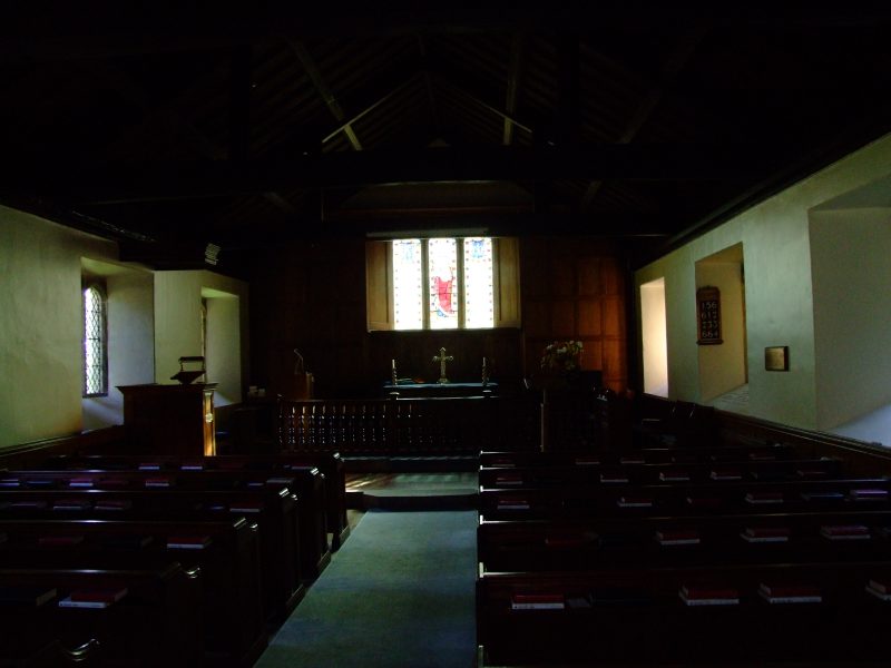
Inside the church
Starting from the car the very steep slope up High Rigg
A glimpse of Tewet Tarn and the Glenderaterra valley with Lonscale Fell to its left and Great Calva in behind
The many humps of High Rigg summit region with Thirlmere in behind.
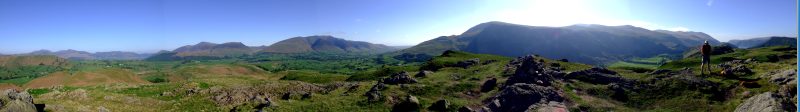
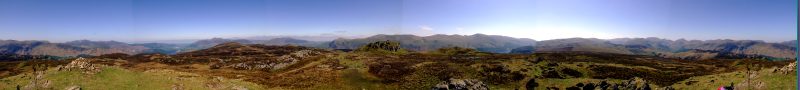
Panoramic view from the summit of High Rigg - click here or into the picture to get a larger version.
Zooming in on Bleaberry Fell ...
... and the Skiddaw massive
An unnamed tarn on High Rigg ...
... which ist nonetheless hosting some pretty Bogbeans (Menyanthes trifoliata)
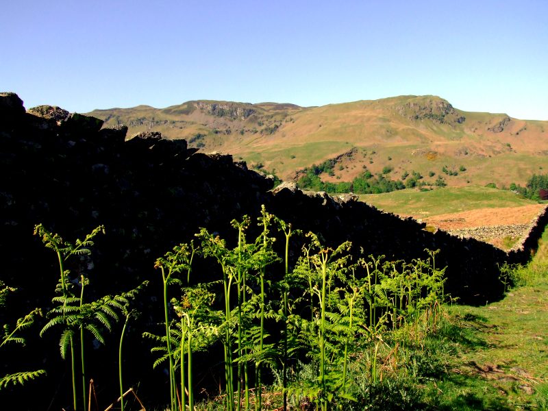
Young bracken near a dry stone wall
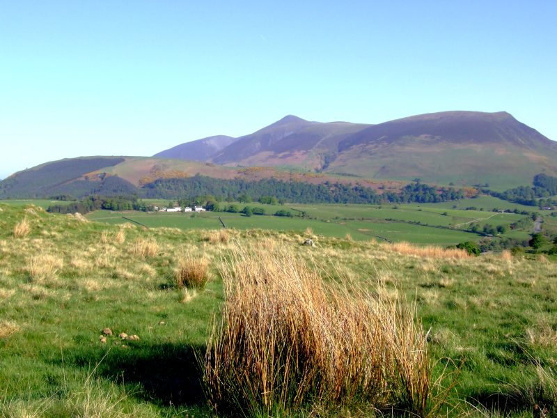
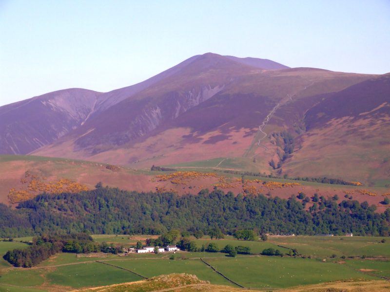
Shaw Bank and the view to Skiddaw
Hawthorne near Rough how bridge, Blease Fell in the distance
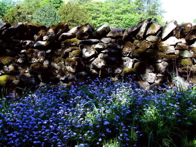
Forget-me-not near Shoulthwaite Farm
We now enter Shoulthwaite Gill, by locals called "the hidden valley".
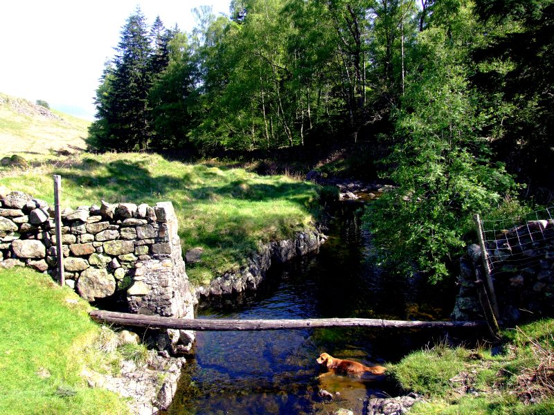
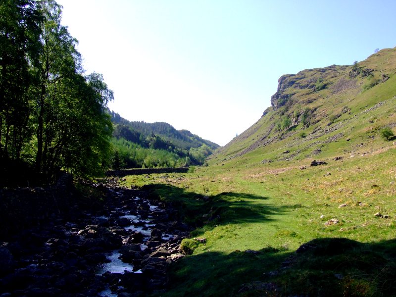
The beck in the hidden valley
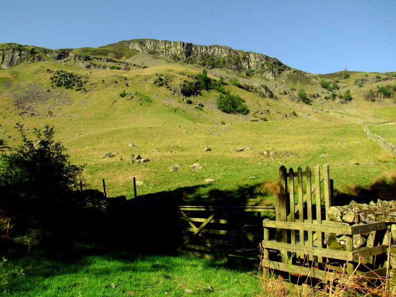
At this point, we turn to the right and climb up the very steep slope of Bleaberry Fell.
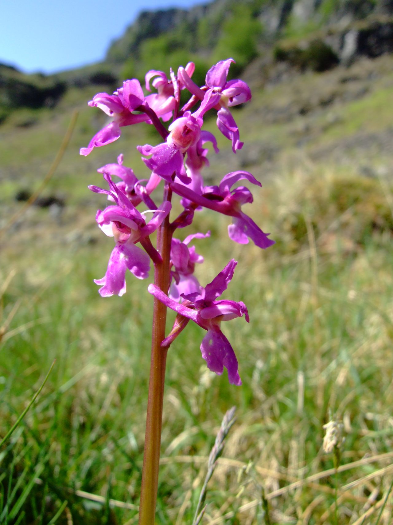
Early Purple Orchid (Orchis mascula)
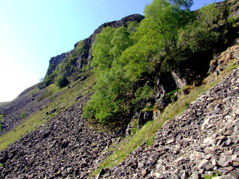
Up the steep slope, partially through screes
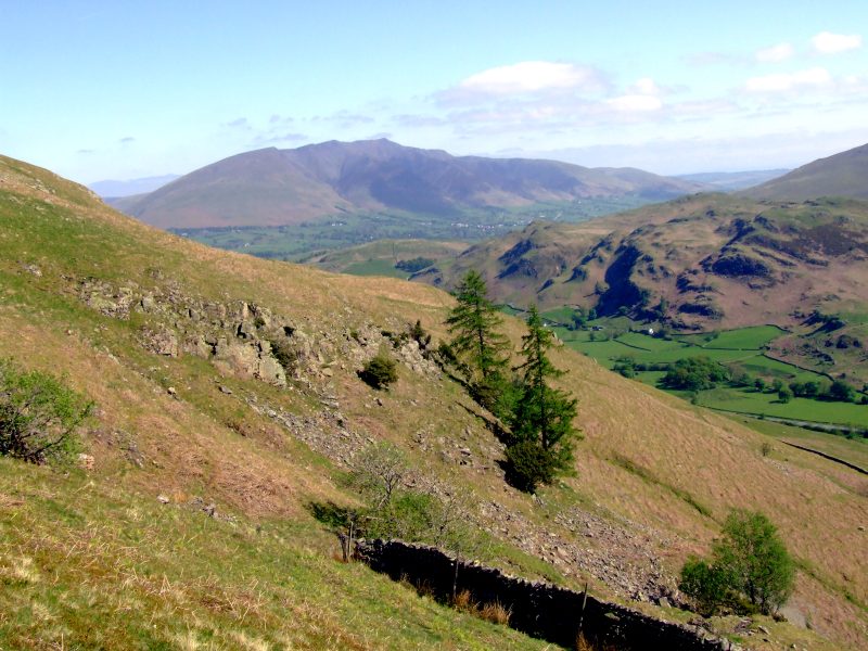
Blencathra, Low Rigg and High Rigg from a bit up the slope
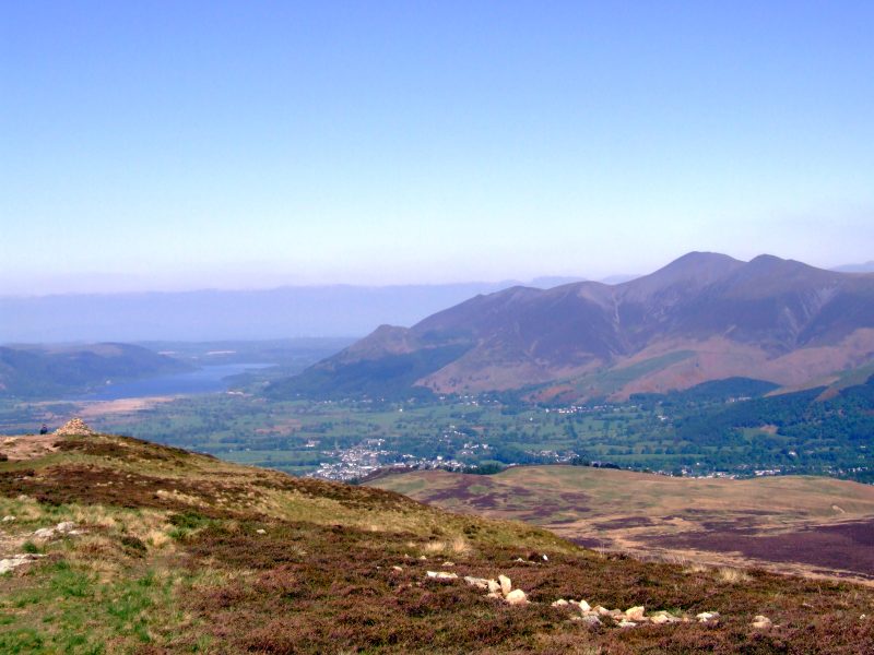
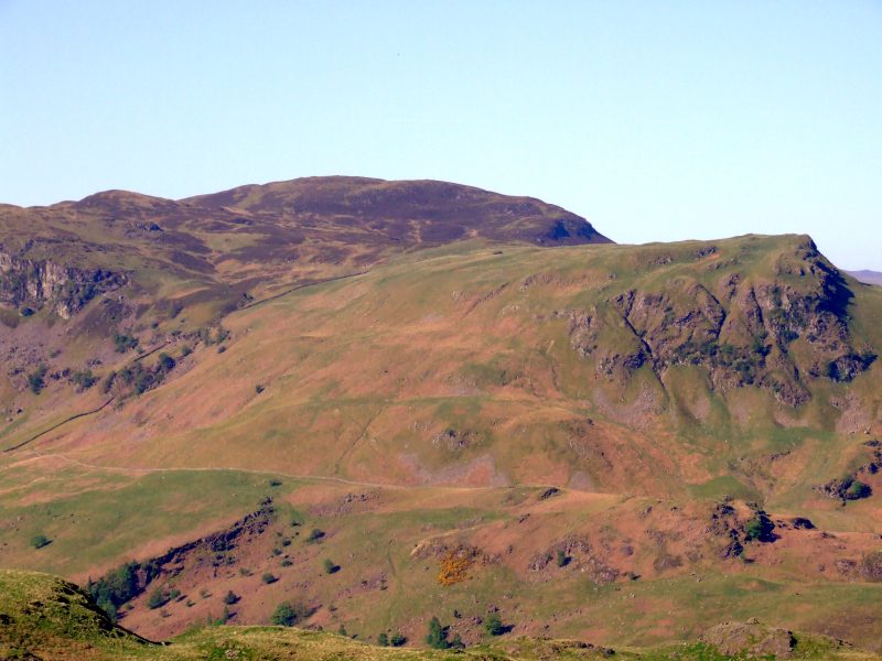
View in northern direction from the summit of Bleaberry Fell: Bassenthwaite Lake and the Skiddaw massive.
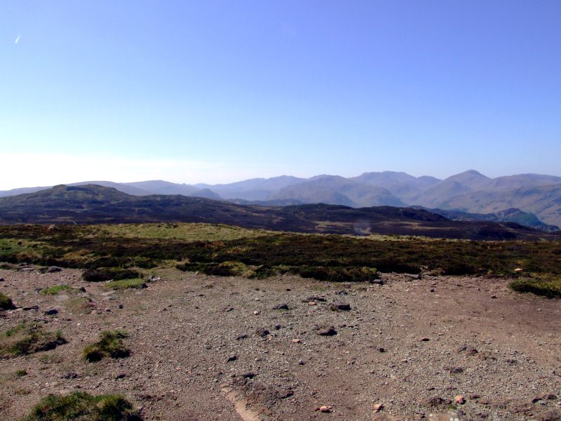
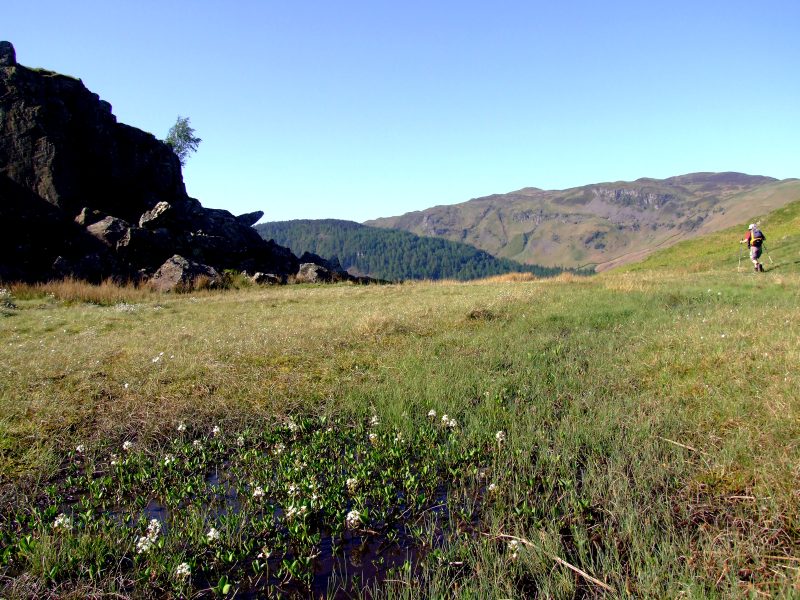
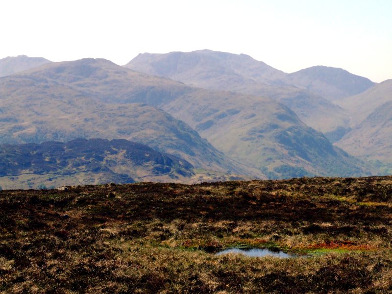
View south: the central ridge. The tiny little point on the horizon seems to be one of the Langdale Pikes. Quite a far way to there. Ahead is High Seat and lots of bog.
"Bye, now I´ve guided you long enough to make sure you find the right way" - John Paterson turns back and says farewell.
View back to Bleaberry Fell. This is only the beginning of the incredible bog to follow.
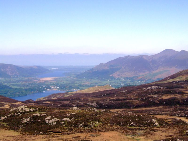
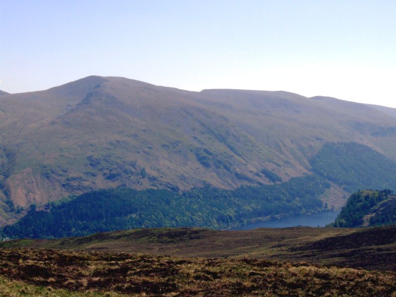
Derwent Water, Bassenthwaite Lake and Skiddaw as seen from High Seat. The brown-green coloured area in the middle of the picture seems to be Walla Crag.
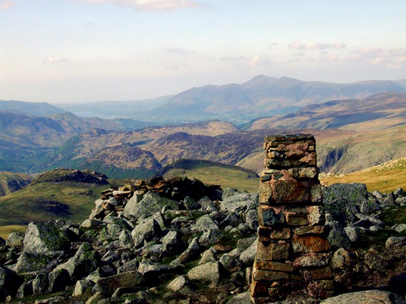
Panoramic View from High Seat - click here or into the picture to get a larger version.
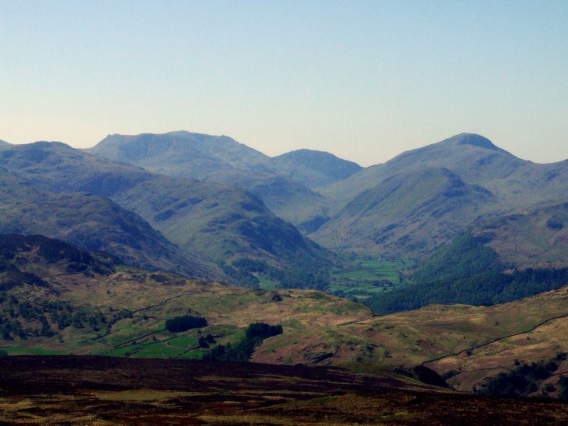
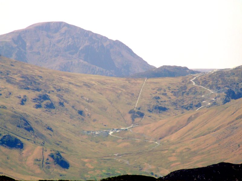
View from about High Tove in southwestern direction: this should be Seathwaite, to the right Base Brown with the Gable behind, to the left then Lingmell and Great End (am I right?)
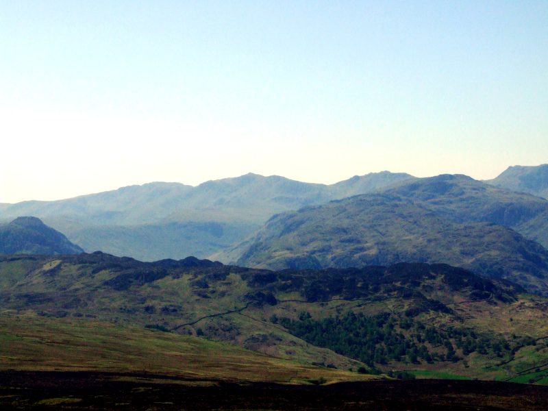
View over the huge bog areas around High Tove, which is in fact a large flat moor, to (I think) the Borrowdale Fells with Glaramara to the right, behind the Crinkles, Bow Fell and Esk Pike, far right is Great End. I am now slowly approaching the fells I intend to walk on the following days.
Helvellyn and a glimpse of Thirlmere on the opposite side.
Esk Pike, Glaramara, Great End and Lingmell.
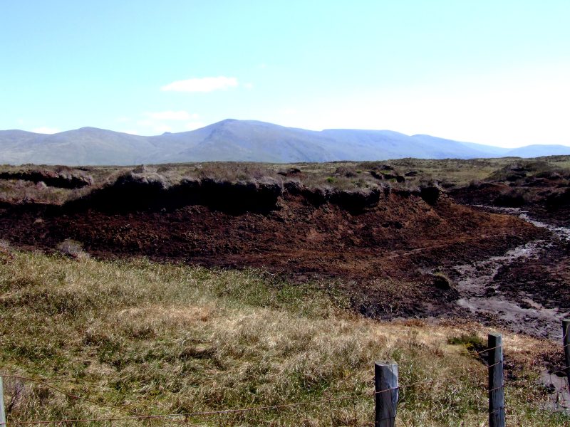
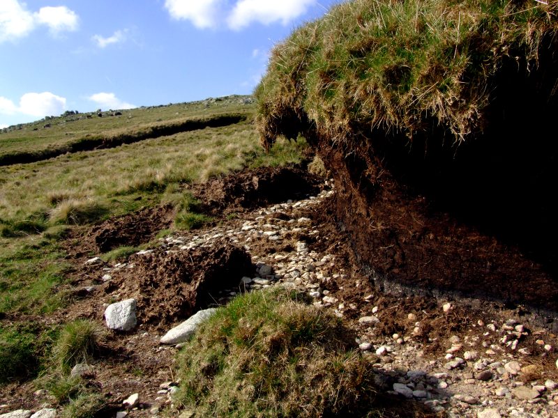
Thick layers of peat are covering the ground there overall
The view back - Skiddaw and Blencathra seem to be quite far yet.
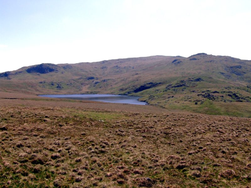
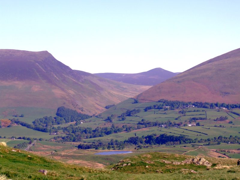
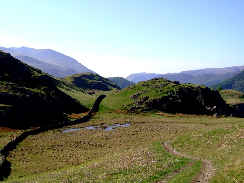
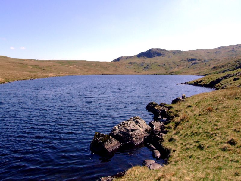
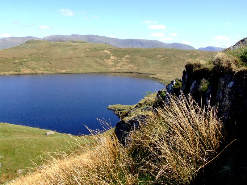
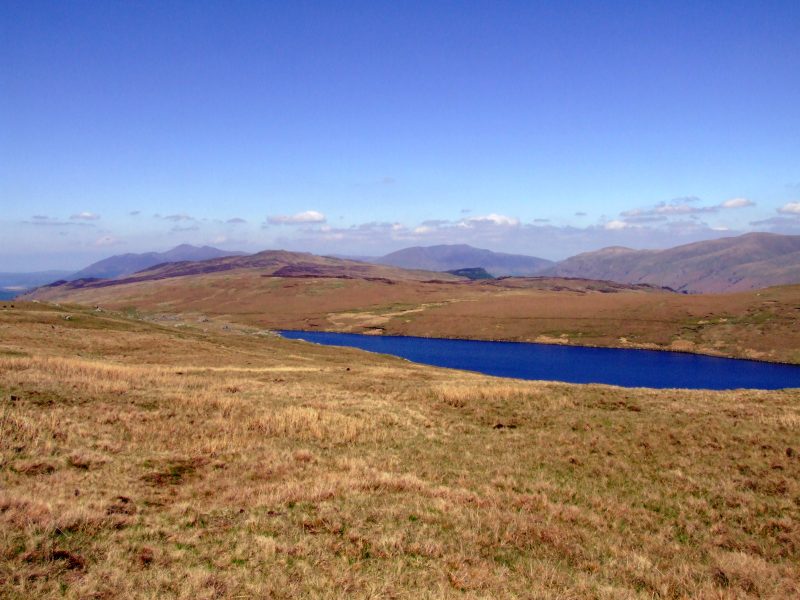
Blea Tarn - no more bog now!
A glimpse to Honister hause, Pillar and - like a dwarf to its right side - Haystacks
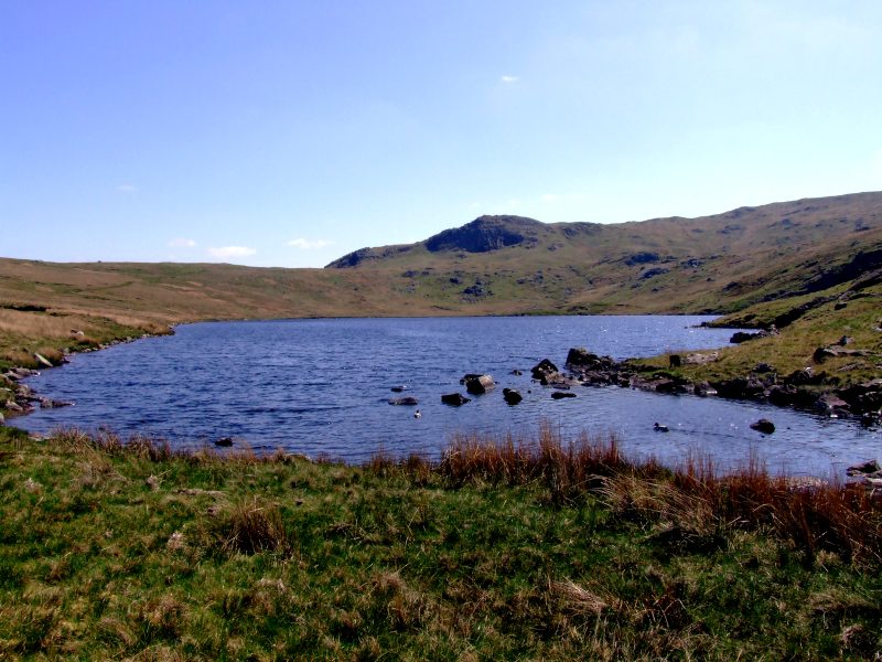
Blea Tarn is living up to its name.
The Helvellyn ridge in the distance.
Blea Tarn now passed - Skiddaw and Blencathra even more distant now. The walk from here to Ullscarf is a bit exhausting and boring - 2 km of a steady grassy ascent of about 200 m.
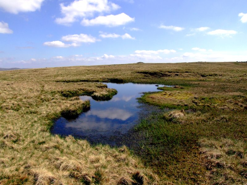
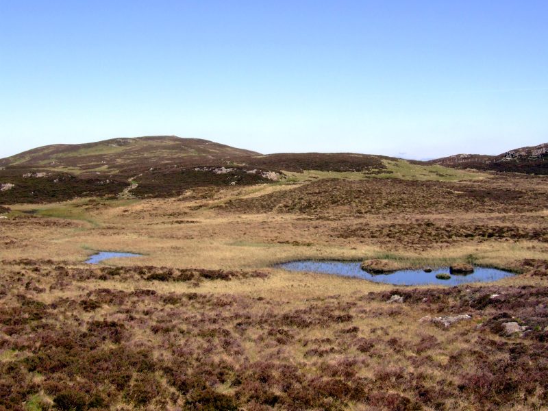
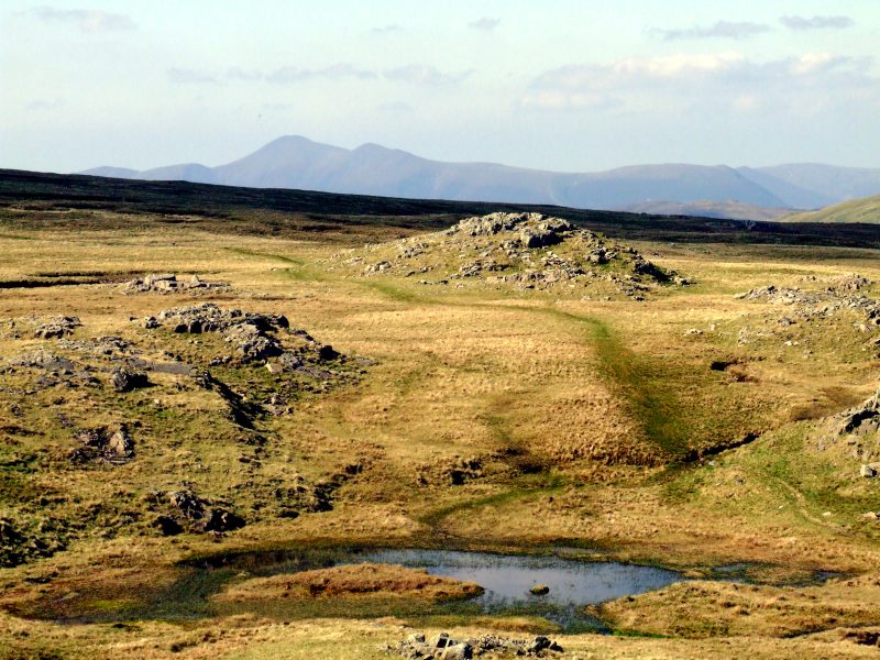
Summit Tarns on Ullscarf ...
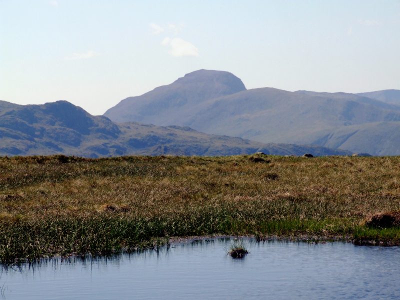
... with Great Gable behind, no longer behind Base Brown now.
And here comes the first view to the southern dales - Grasmere and Windermere with Loughrigg Fell in between.
Heading for my next objective - High Raise. Will Steven Procter be there?
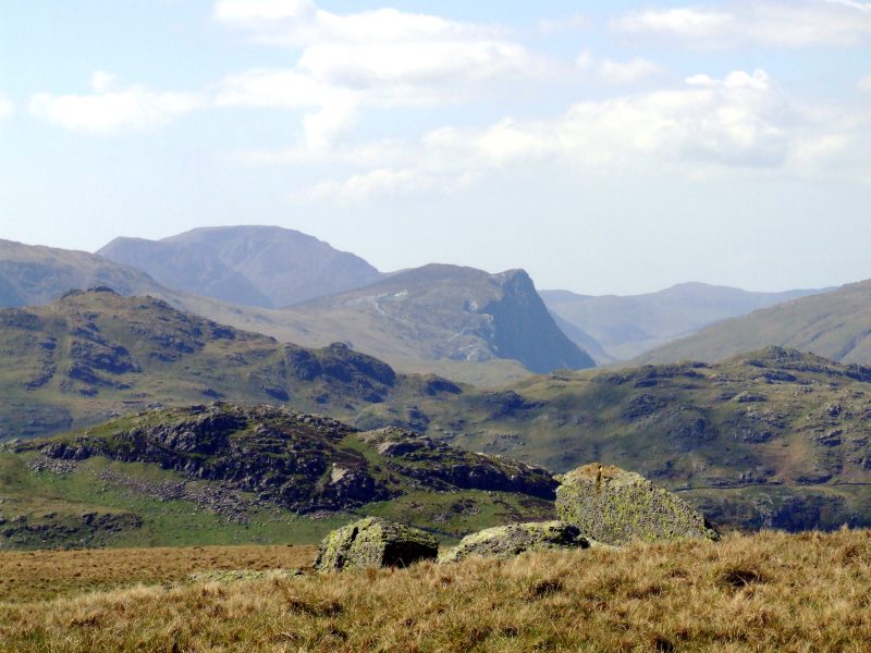
Pillar and Fleetwith Pike with its pronounced rocky escarpments.
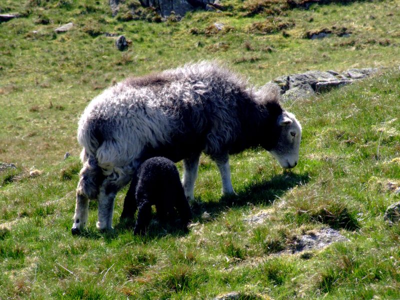
Mother and her baby
The summit of High Raise with the distant Skiddaw and a glimpse of Bassenthwaite Lake and Keswick. It is about 3 p.m. and Steven is not here. A short lunch break of about 30 min.
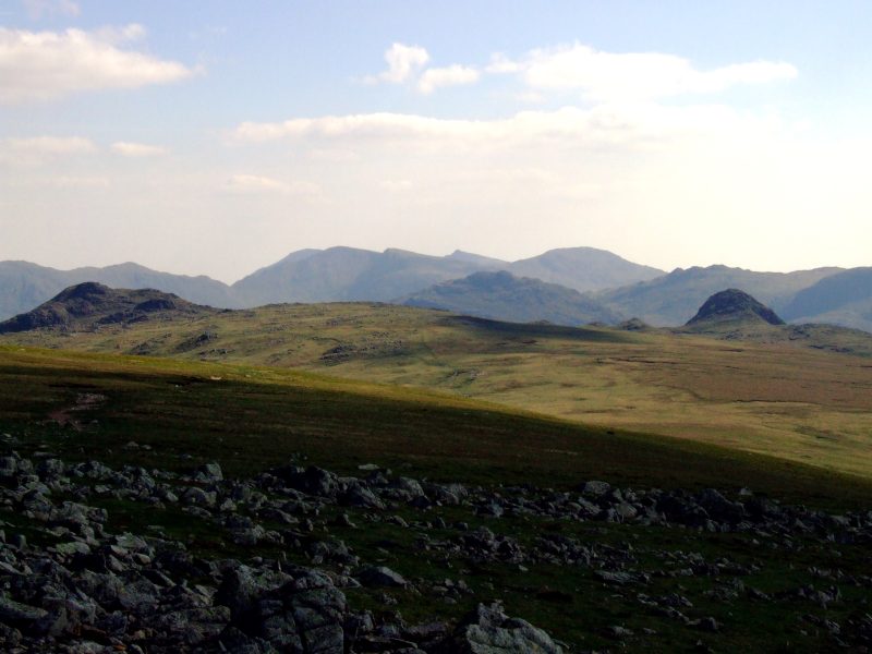
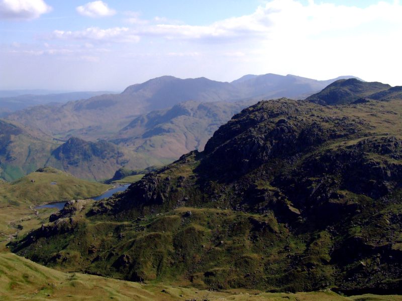
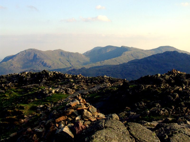
Turn around - and be surprised: The Langdales are quite close now, and the fells behind are coming into sight - Pike o´Blisco and the Coniston Fells.
My GPS now guides me safely to the short detour on Seargant Man - thanks to Roger Hiley for his advice yesterday.
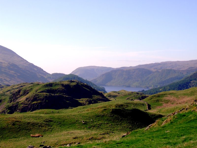
View from the summit of Sergeant Man: Stickle Tarn partially hidden by Pavey Ark, behind is Wetherlam and The Old Man of Coniston in the distance.
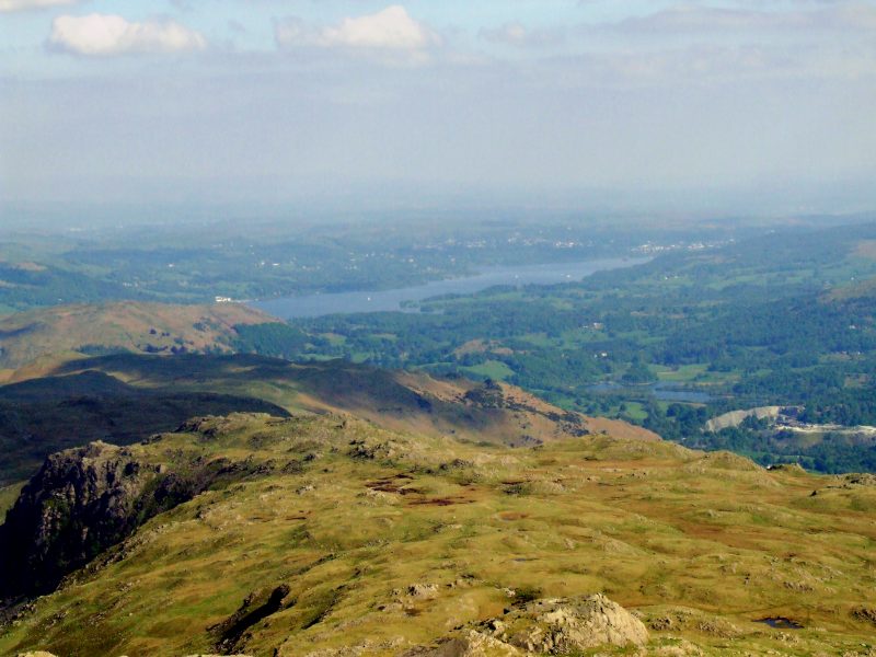
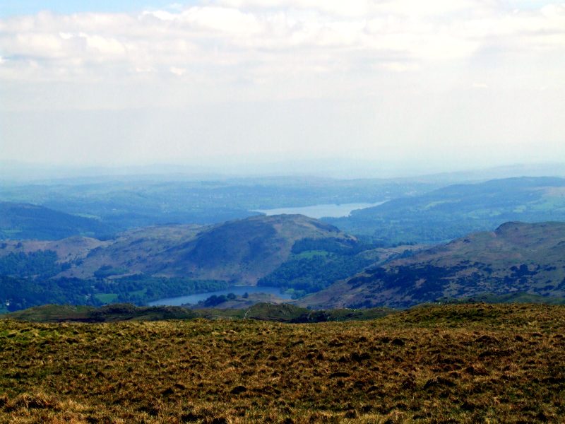
Reached Thunacar knott: Windermere and the surrounding woodland, Elter Water to the right.
Excellent visibility this evening - zooming in to the now quite distant Skiddaw massive.
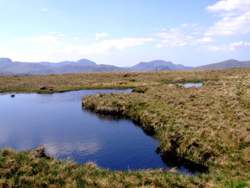
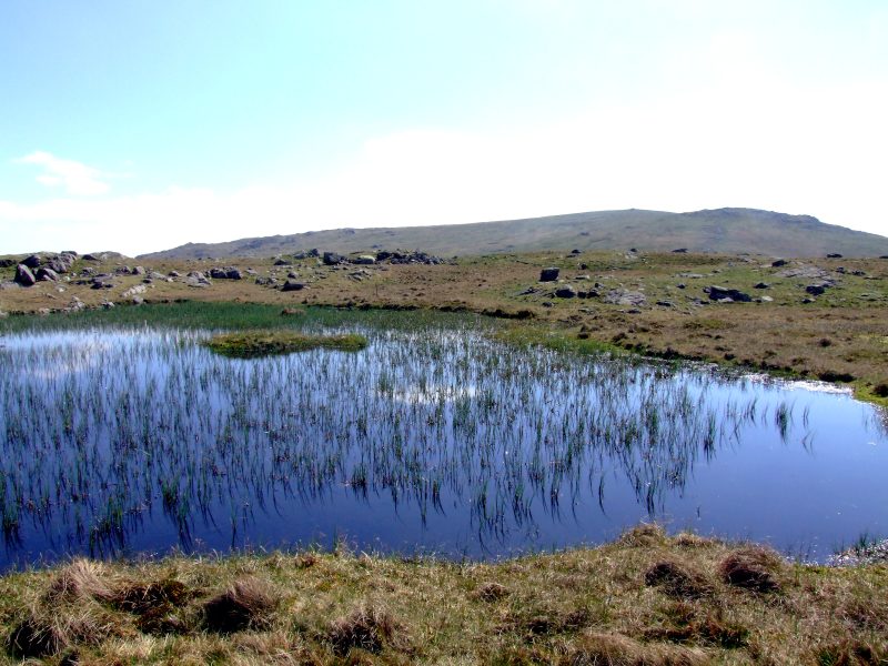
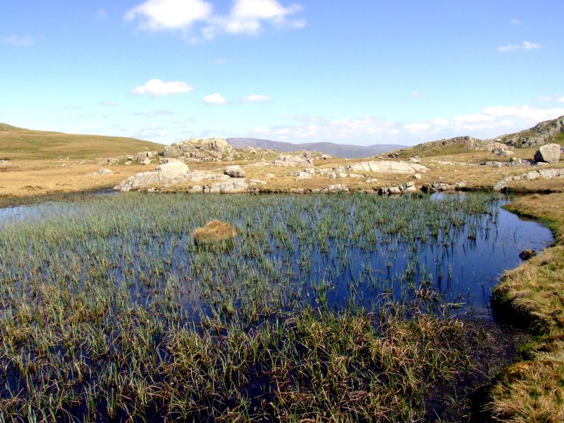
Lots of peat here between Thunacar knott and Harrison Stickle. I decided to hide my luggage behind this peat and take in the Langdale Pikes without.
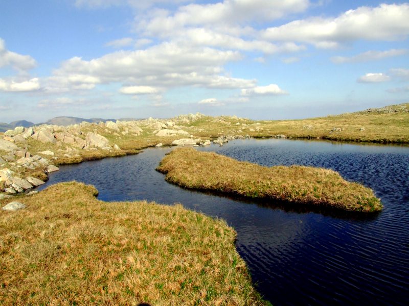
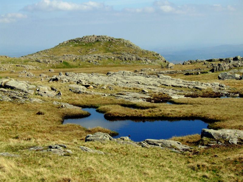
Tarns on the flat ridge between Thunacar knott and Harrison Stickle
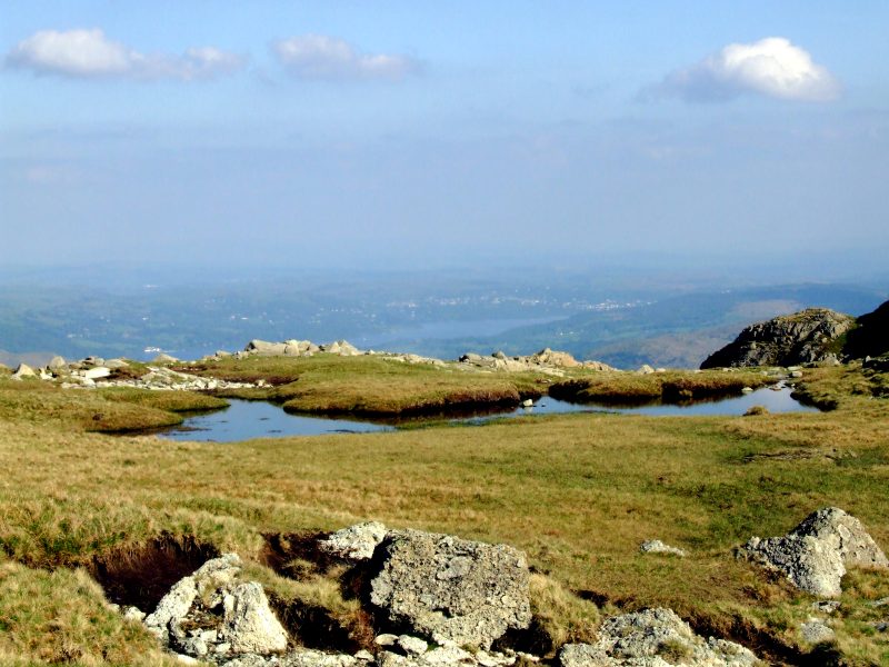
Looking down on Windermere
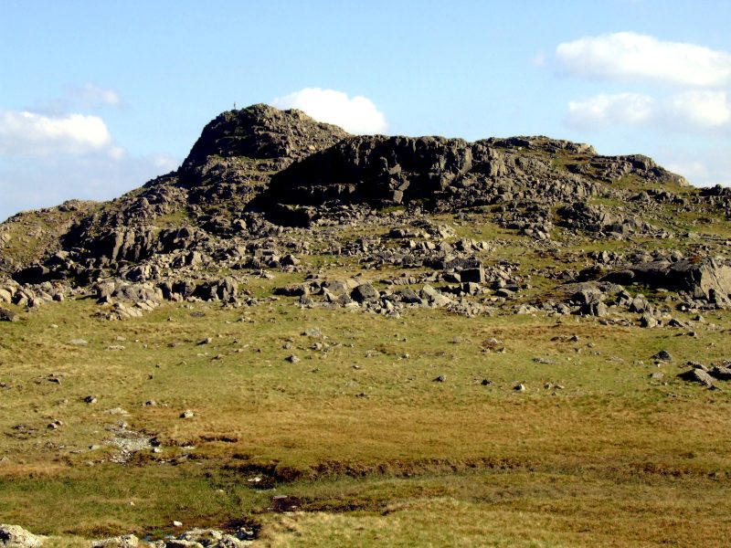
Harrison Stickle in the evening sunshine.
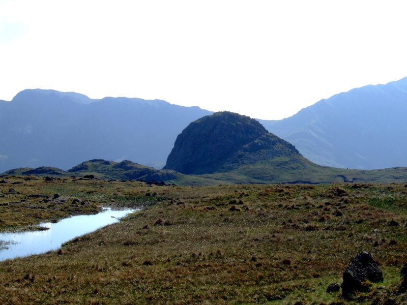
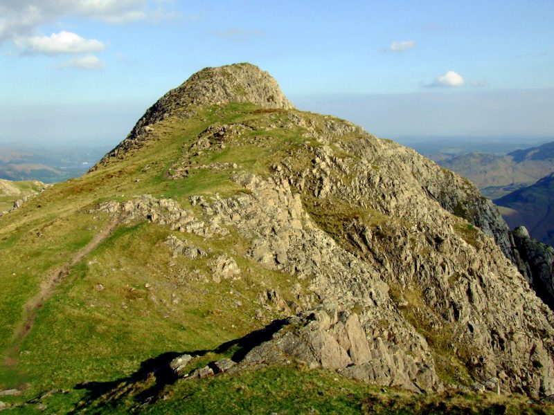
Pike o´Stickle, with Crinkle Crags and Three Tarns hause behind
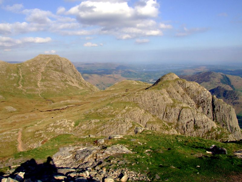
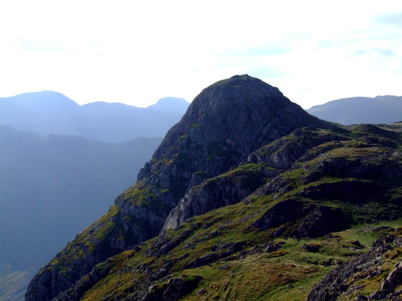
Harrison Stickle and Loft Crag from Pike o´Stickle - the evening sun casts a long shadow of the photographer.
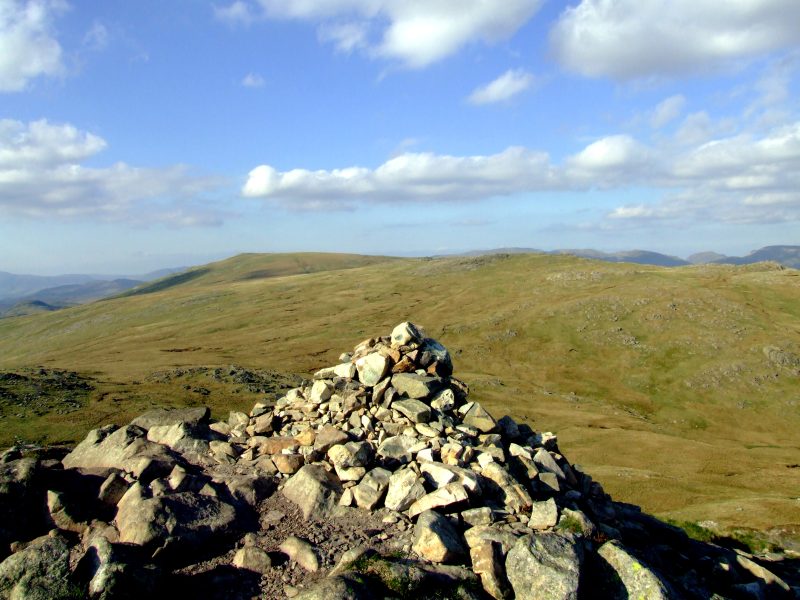
High Raise and Thunacar knott from Pike o´Stickle summit cairn.
Loft Crag and Blea Tarn - the second one with this name I am seeing today.
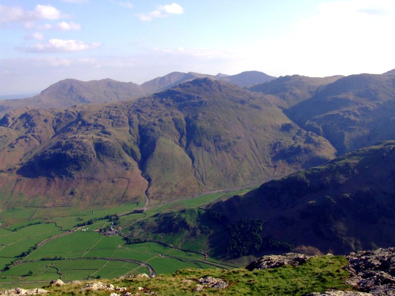
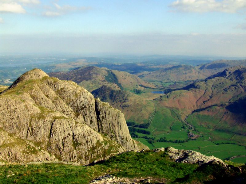
Looking down into Great Langdale, Stool End Farm with Pike o´Blisco behind. The Coniston Fells in the distance.
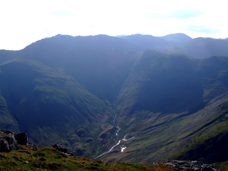
Rossett Gill and Bow Fell, to the right Esk Pike and Great End.
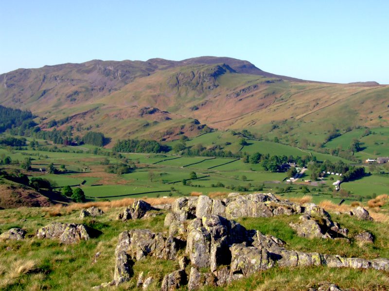
Loft Crag, my next objective.
Viewing to Pike o´Stickle from Loft Crag.
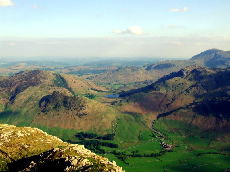
Blea Tarn and Great Langdale from Loft Crag. Far right is Wetherlam.
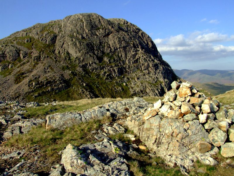
Harrison Stickle, my last summit of this day.
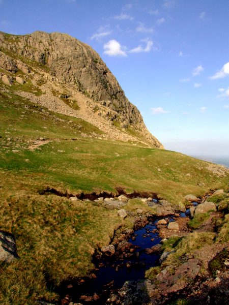
The small beck which is running down Dungeon Gill afterwards.
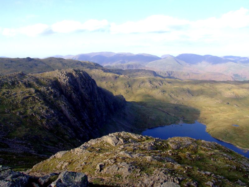
Pavey Ark and Stickle Tarn from Harrison Stickle, the Helvellyn ridge in the background.
Zooming on to the Coniston fells.
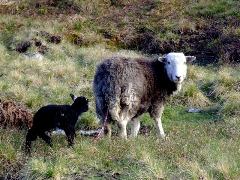
A mother and her newborn - spot the umbilical cord hanging from her backside!
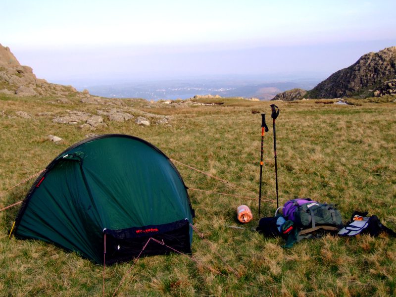
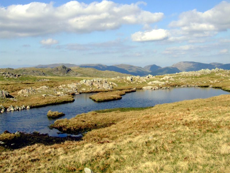
I put up my first pitch on a flat, peaty, but after several bright days rather dry, soft grassy place between Harrison Stickle and Thunacar Knott: camping with a view down to lake Windermere and the homonymous town.