21.5.2009 Place Fell, Angle Tarn and Pikes, Brock Crag, Hayeswater, Grey Crag, Hartsop Dodd and Caudale Moor
After 10 hours sleep and a good breakfast I started at 8:30 for a reascent of Boredale Hause. After a rainy night the weather was improving to get even much drier today. Houses in Patterdale.

Quiet oldrill beck from the bridge to Rooking
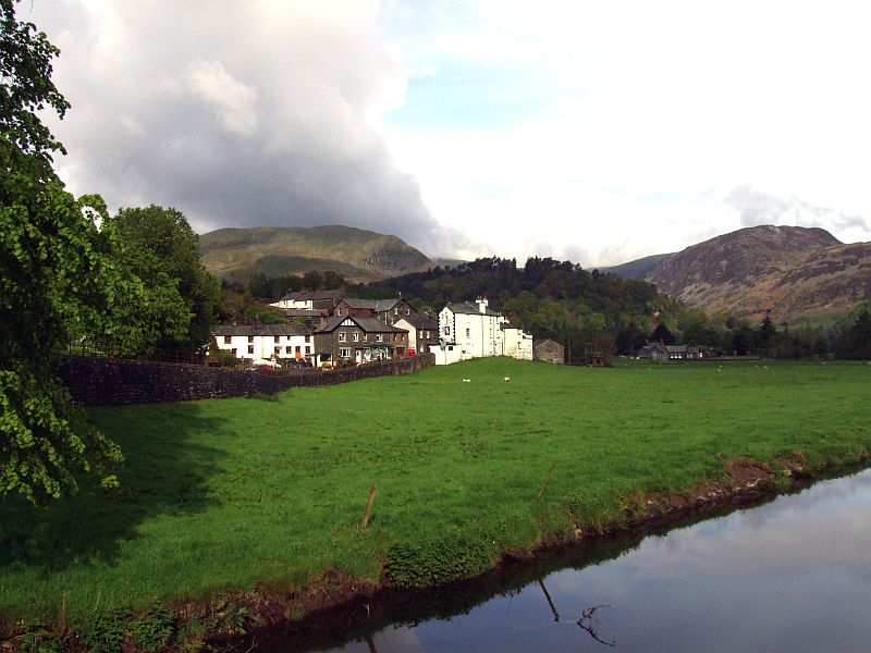
Patterdale with The White Lion Inn far right.
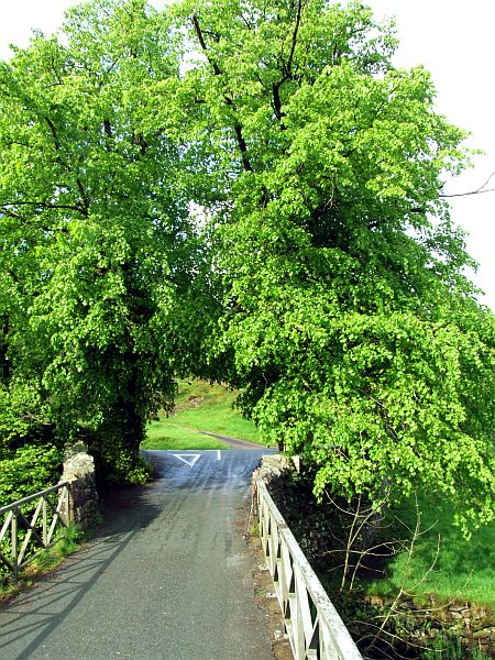
The bridge
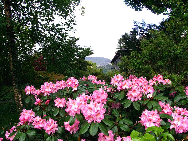
Lovely rhododendron in a garden.
Looking to Arnison Crag from the beginning of the ascent.
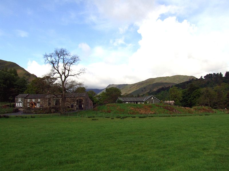
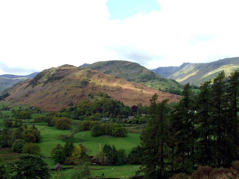
Patterdale and Glenridding
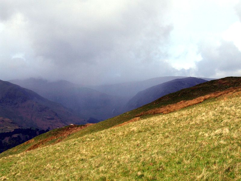
At first, I ignored that shower over Helvellyn. However, the wind had turned during the night, so ...
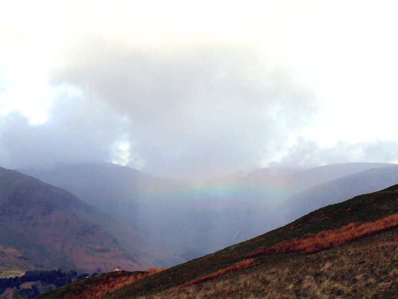
... it approached from a northwestern direction.
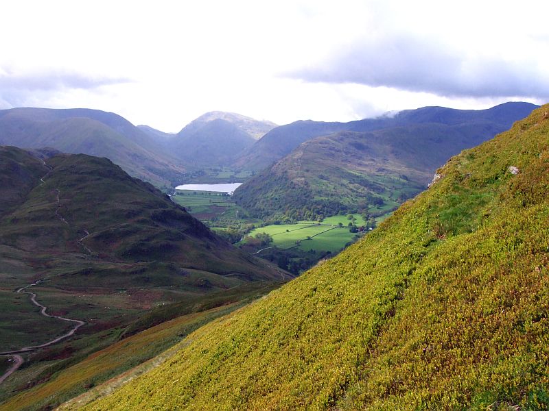
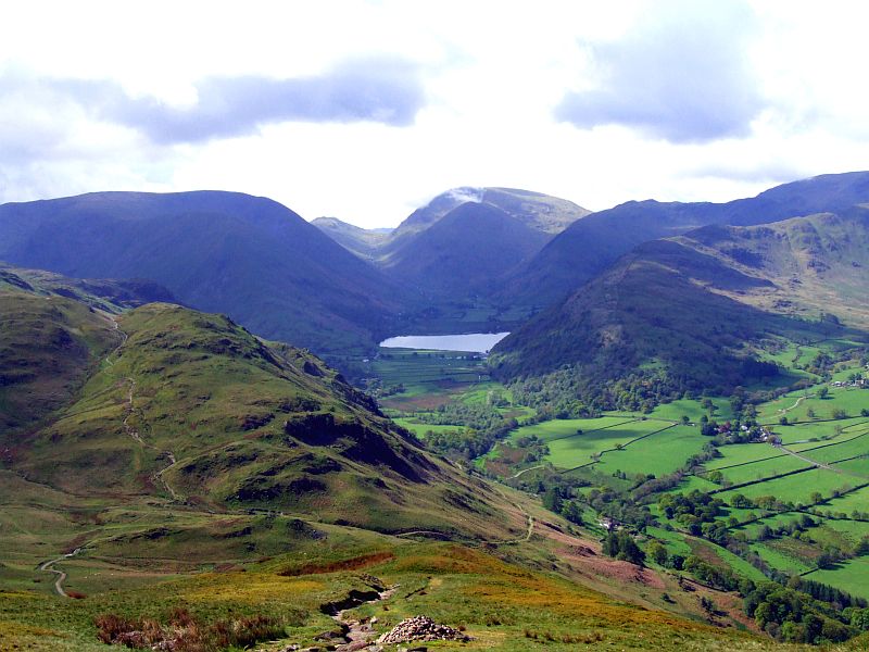
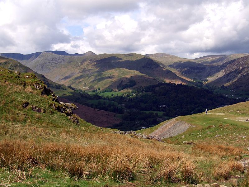
No rain to the soth - Brothers Water and Red screes from the ascent to Place Fell - Boredale hause far left, with the path to Angle Tarn.
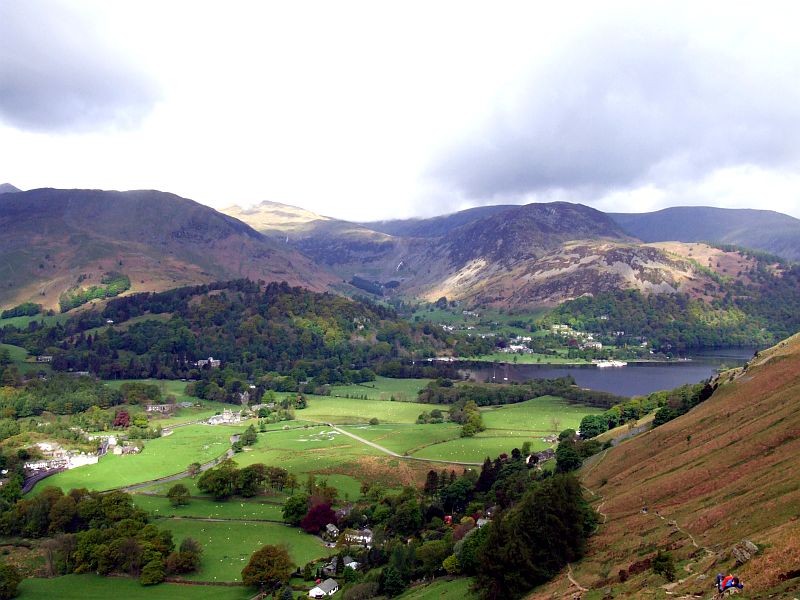
The head of Ullswater and the Helvellyn range
Once more Brothers Water
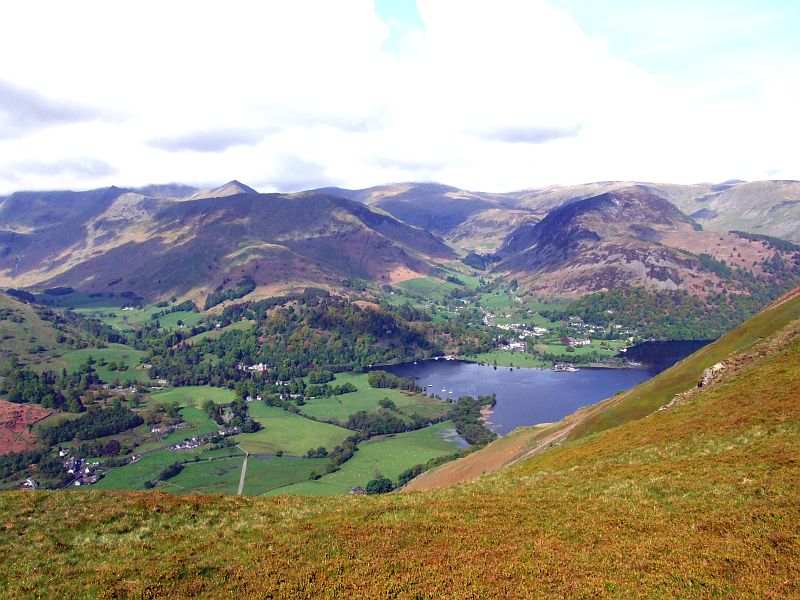
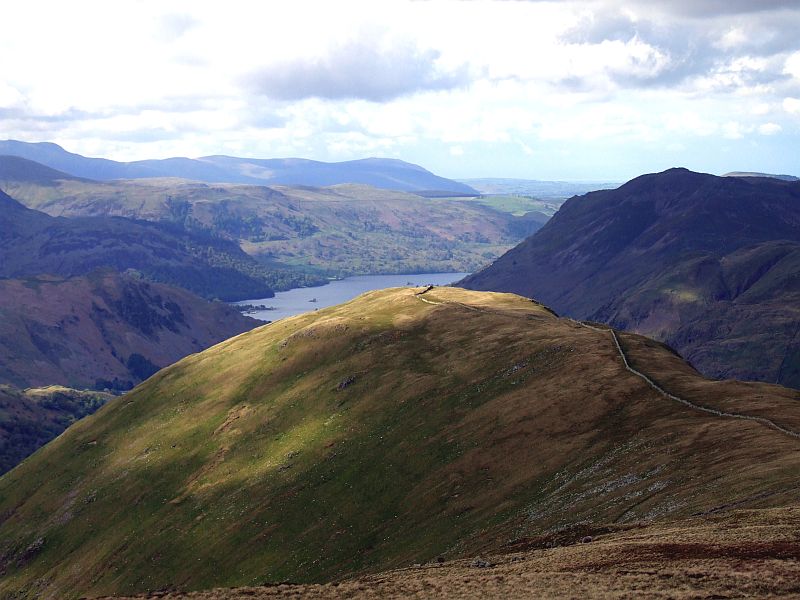
Ullswater foot behind Hallin Fell, with Pooly bridge and even Penrith to be seen. Rather good visibility now.
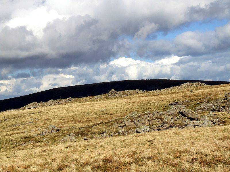
Approaching the summit of Place Fell.
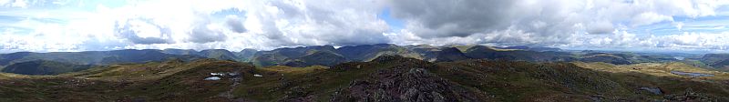
360 degree summit panorama from Place Fell. Click here or into the picture for a larger version.
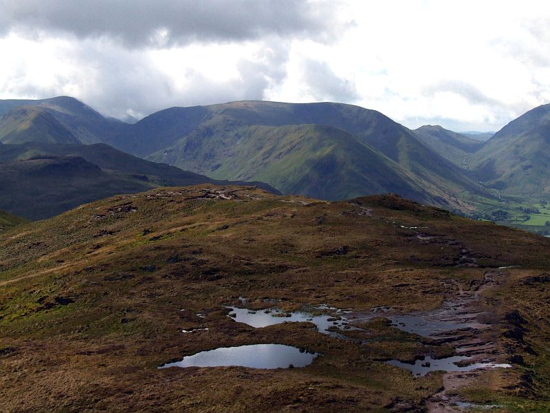
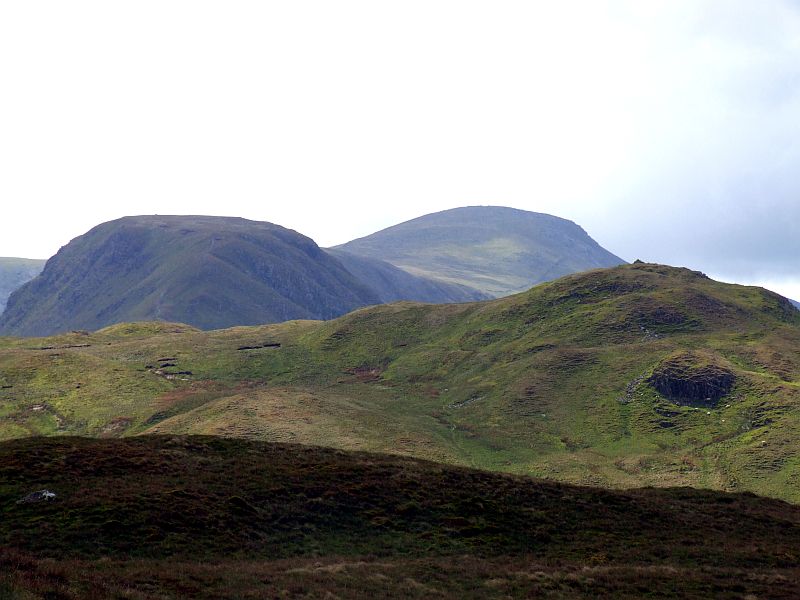
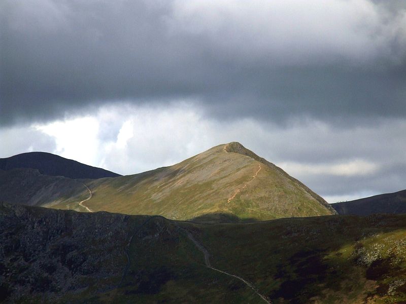
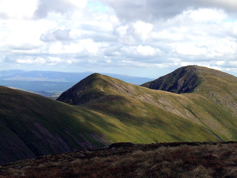
Hartsop Dodd and Caudale Moor, today´s last objective.
Zooming in on a sunny Helvellyn, with Catstycam far right.
St. Sunday Crag, with Birks.
At Boredale Hause
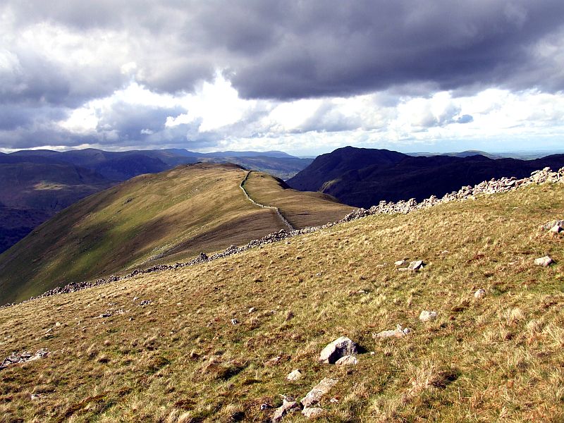
Once more Hartsop Dodd and Caudale Moor
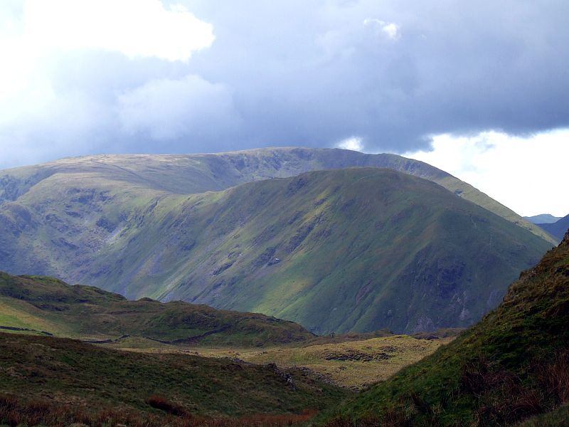
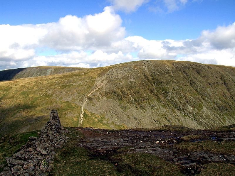
Grey Crag and Thornthwaite Crag.
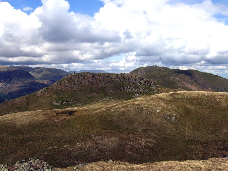
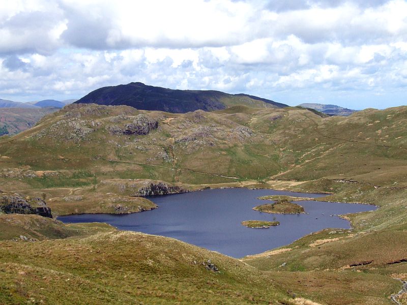
The northern Angle Tarn Pike as seen from the southern one. Place Fell behind.
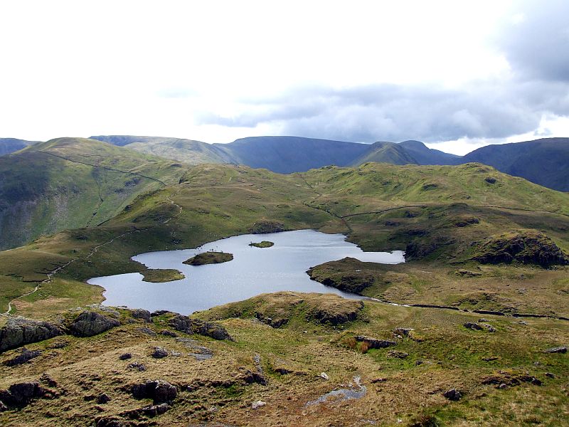
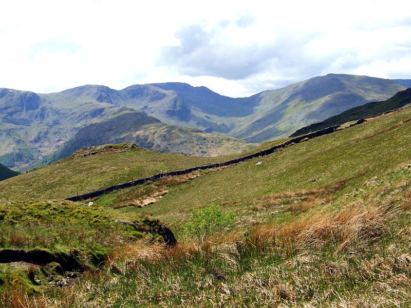
Angle Tarn with Brock Crag from the southern Pike. Behind is (left to right) Rest Dodd, Hopegill Head, High Street, Grey Crag, Thornthwaite Crag and Caudale Moor.
Zooming in on Catstycam, however The saddle of The Hole in the Wall in the foreground
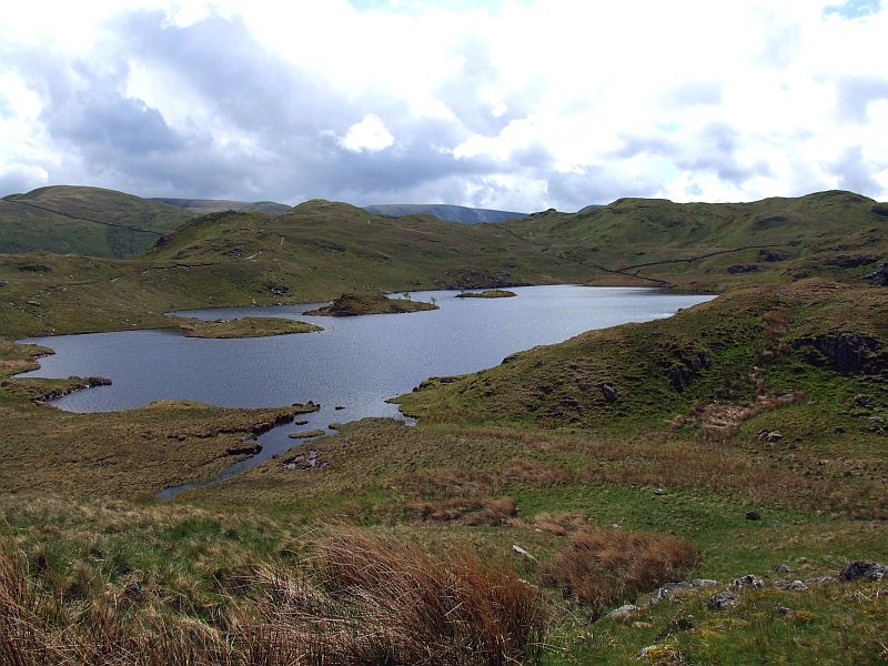
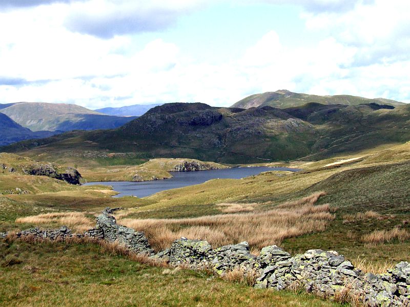
Angle Tarn
One more slight shower on Fairfield and St. Sunday Crag.
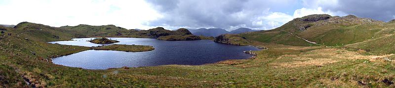
Panoramic view of Angle Tarn, with Brock Crag behind and the southern Angle Tarn Pike far right. Click here or into the picture for a larger version.
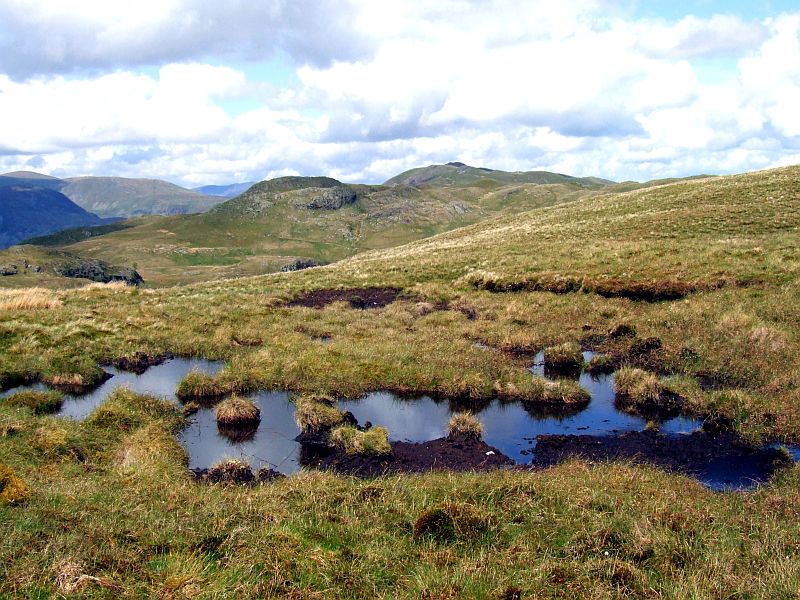
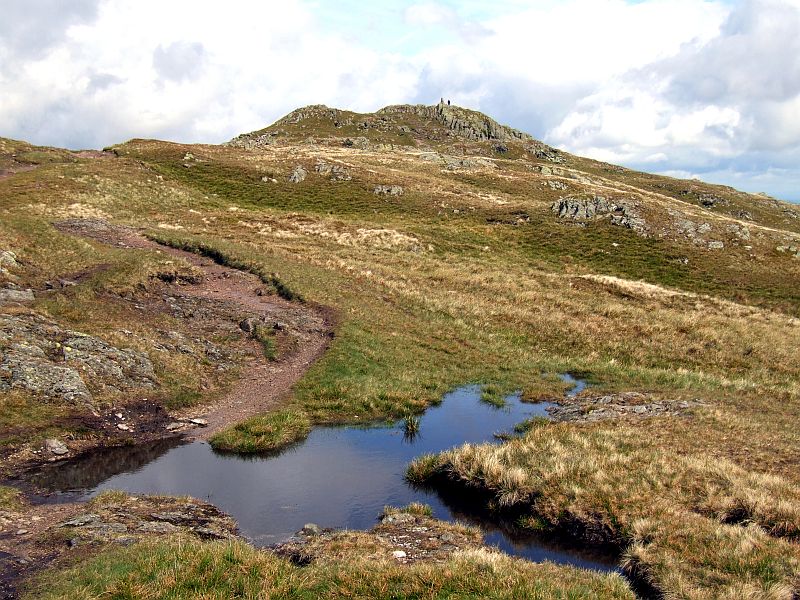
Peaty Puddle on the saddle between Brock Crag and Satura Crag.
From the same point, looking in the opposite direction: The Knott, High Street and Grey Crag, with Hayeswater. From here, I first walked up Satura Crag, then took a direct off path route through the upper parts of Prison Gill, to directly head for Hayeswater outflow (thanks to a gate in a big stone wall in between!).
Angle Tarn from nearby
... and once more from Brock Crag eastern smmit.
Panoramic view from the eastern summit of Brock Crag. Click here or into the picture for a larger version.
The deepdale fells from the walk down to Hayeswater
View back to Brock Crags and Satura Crags
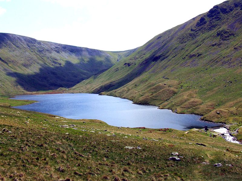
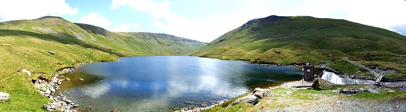
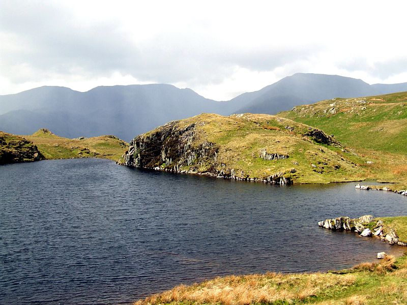
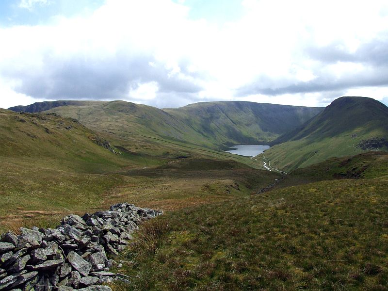
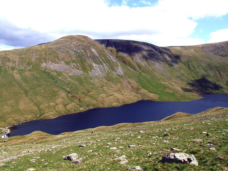
Hayeswater
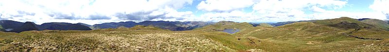
Panoramic view of Hayeswater with The Knott, High Street and Grey Crag. Click into the picture for a larger version.
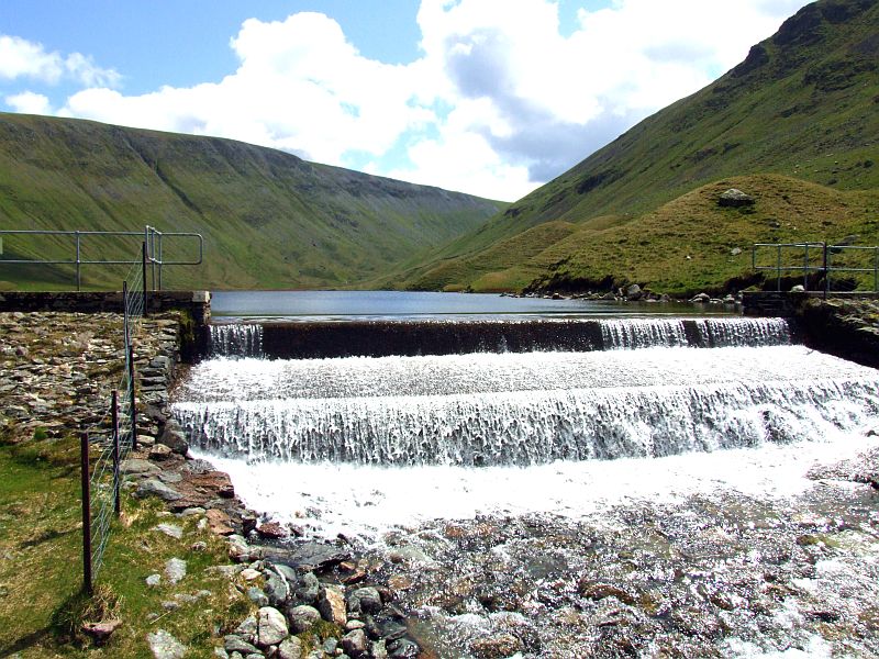
Hayeswater dam. Click here to see a short video of the water flowing.
Hayeswater from the ascent to Grey Crag
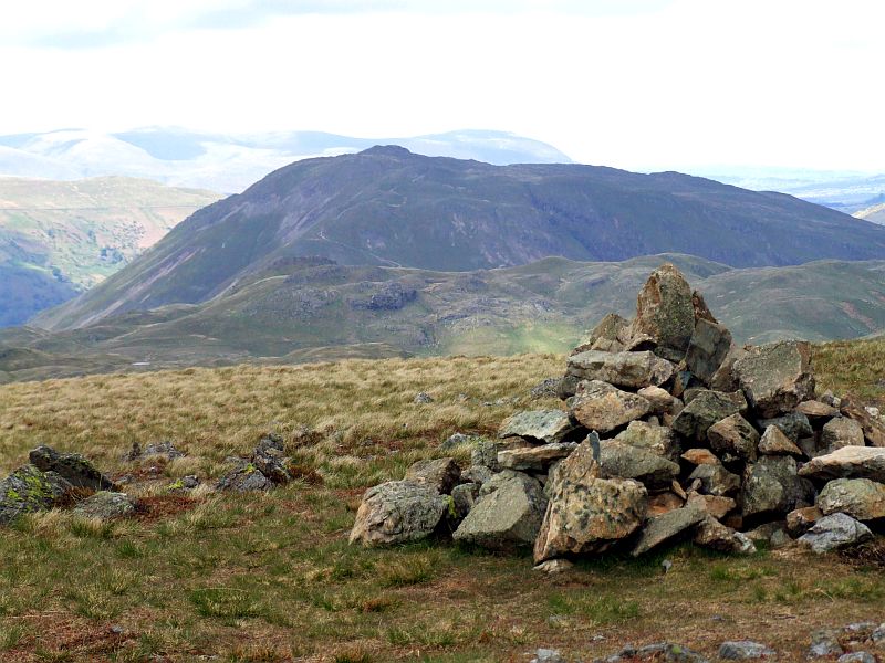
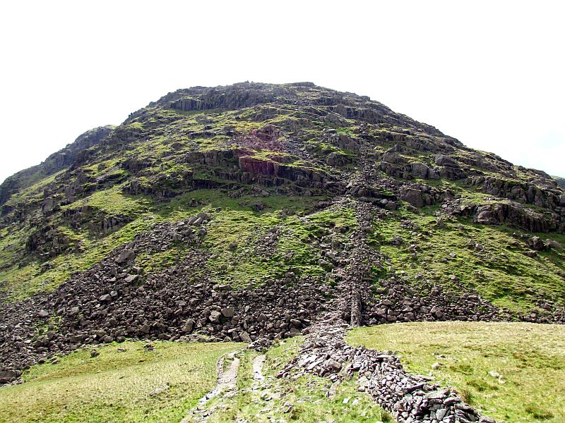
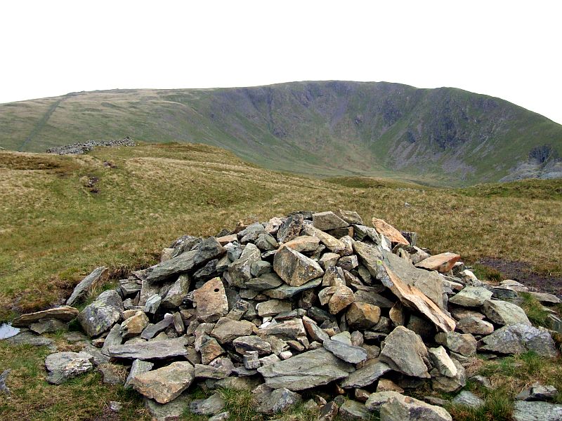
The summit cairn of Grey Crag
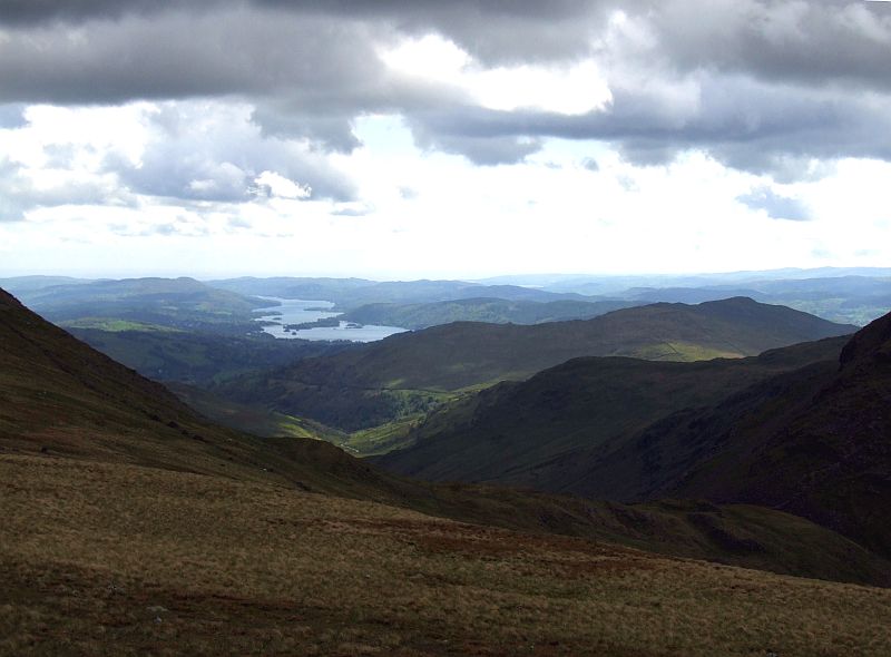
Now the view to the south opens: Lake Windermere.
... and zooming in.
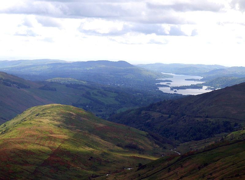
Troutbeck Tongue (I suppose)
The steep ascent on Caudale Moor from Thornthwaite Beacon
Thornthwaite Crag, behind to the left is High Street
Froswick and Ill Bell from the summit plateau of Caudale Moor.
Caudale Moor.
Looking down to Hartsop Dodd from Caudale Moor. Behind is Brother´s Water and Hartsop above Howe, Place Fell far right.
I walk down to Hartsop Dodd (without my rucksack, of course)
Hartsop Dodd Cairn with Caudale Moor. Quite a lot of an ascent. I took a tent pitch on Caudale Moor after the ascent, because I was not sure about a free room at Kirkstone Pass Inn.