26.7.2008 Mittagskogel near Villach
Today it is sunny and warm, so the rest of the family decides to stay in the public bathing place in Ossiach. No problem to get there with the boat, so I have the car for an ascent of Mittagskogel (2.145 m). Every time I am driving through Carinthia, its beautiful rock pyramid is greeting me. So it be today, at least, for an ascent.
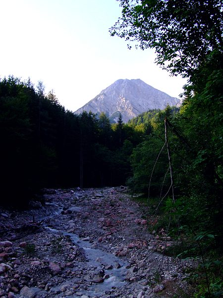
I start my walk shortly before 7 a.m. (thunderstorms are precast for the afternoon) near Untergreuth at an altitude of about 780 m. First the route leads up mainly through forest. First view of the mountain from a river bed..
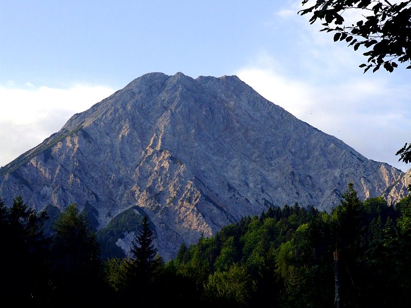
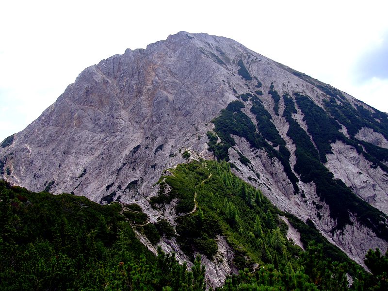
Zooming in on Mittagskogel with the main summit far right.
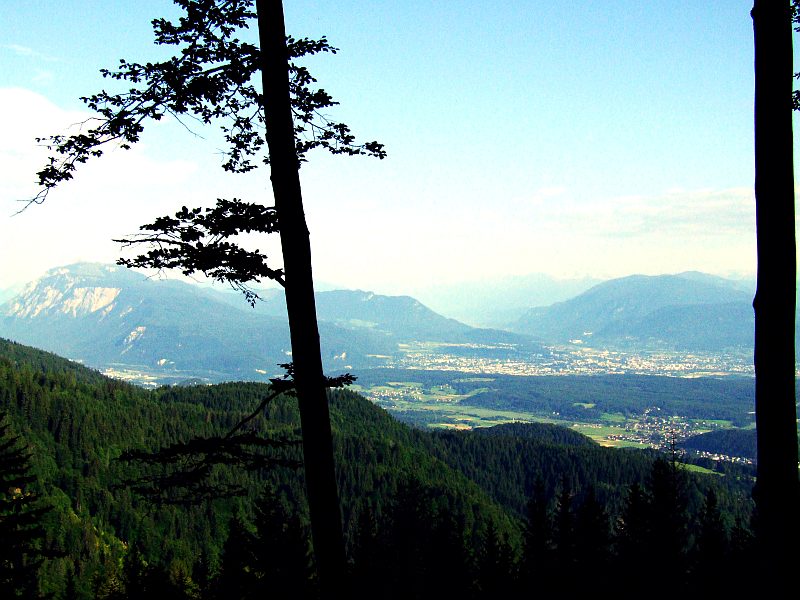
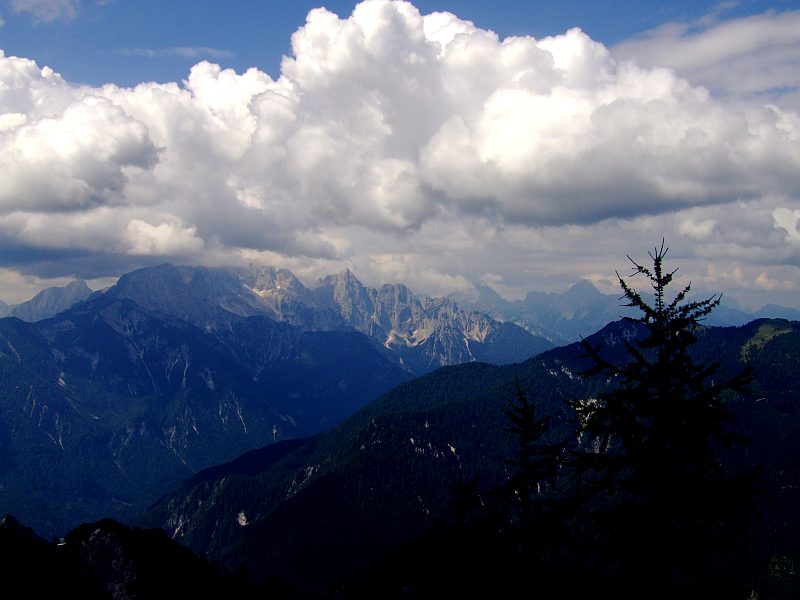
View down from a clearing in northern direction. The city of Villach, Dobratsch to the left. Hohe Tauern on the horizon.
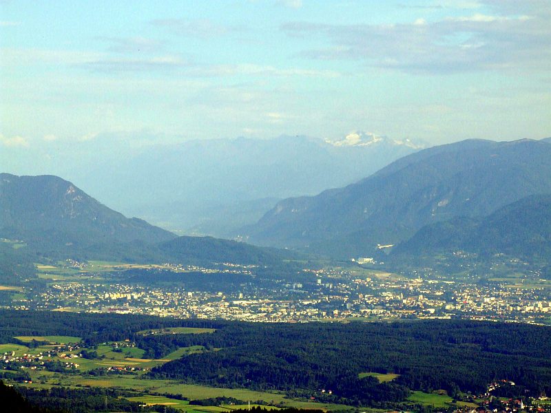
Zooming in on Villach, now Hochalmspitze (3.360 m) in the Hohe Tauern is seen with its large white glacier.
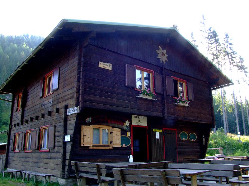
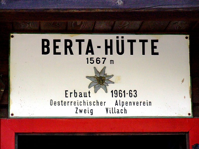
Die Bertahuette, where I have a short rest.
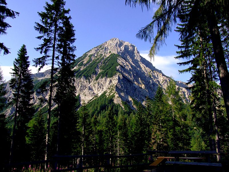
Here, the summit is much closer now. The route now proceeds along the slopes to the left, then straight up to the ridge which is exactly the border to Slowenia.
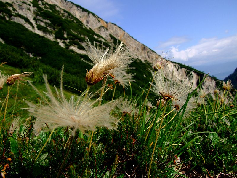
Mountain avens (Dryas octopetala), with its fruits now.
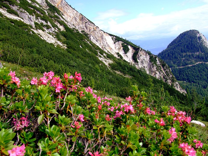
Alpine roses, this time the hairy variant, different from those growing on Gamskarkogel, though being very similar.
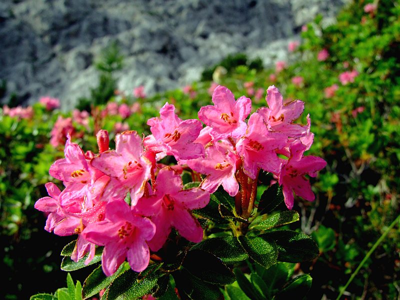
Detail of the hairy Alpine rose. The small leave down left in the picture shows some hairs on its edge. This species only grows on limestone underground, whereas the other species grows on crystalline rock. The latter has no hairs on the leaves and the leaves are dark red on their underside.
VBiew in eastern direction: The Drau reservoirs to the left and further summits of the Karavanke - group.
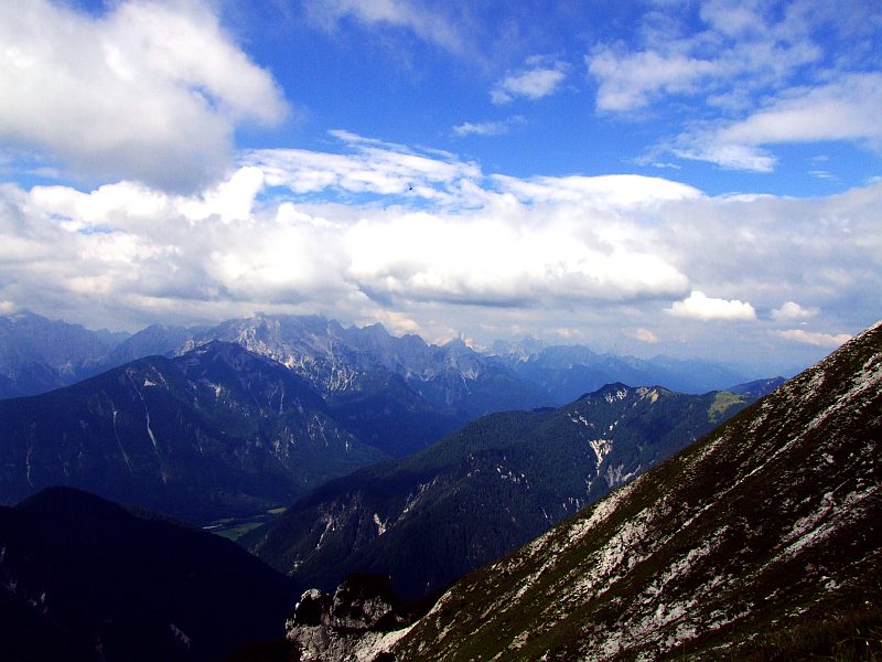
Staning exactly on the border to Slowenia, I look over to the Julic Alps - the summit of Triglav (2.864 m) is wrapped in clouds.
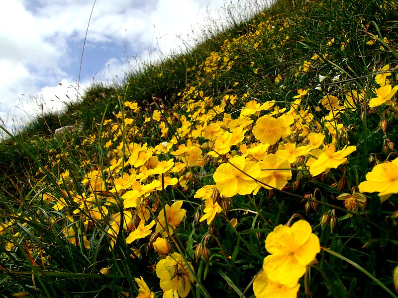
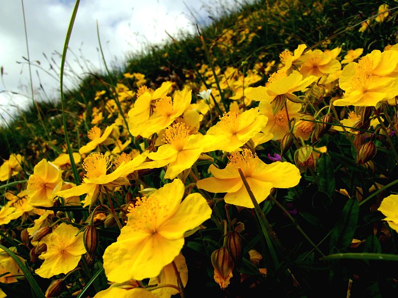
Shortly before the summit huge amounts of Alpine rock roses with their stunning yellow flowers.
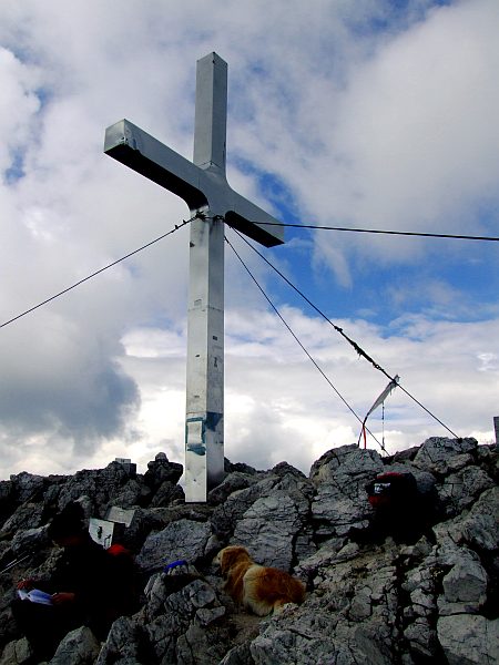
The summit cross of Mittagskogel (2.145 m)
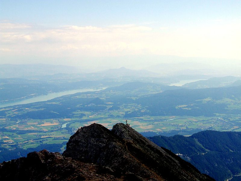
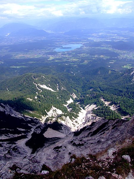
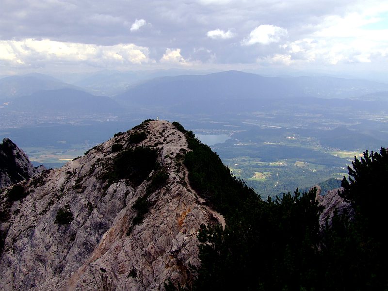
View to the northeastern summit of Mittagskogels and to Lake Woerth
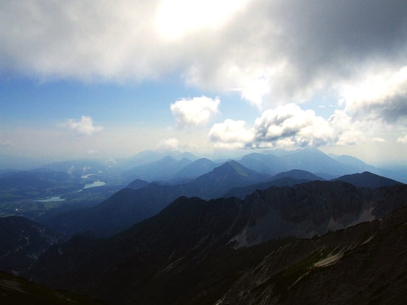
View from the summit of Mittagskogels in eastern direction along the Karavanke, the Drau reservoirs to the left.
View down the extremely steep rocky escarpents to the north, with Lake Faak.
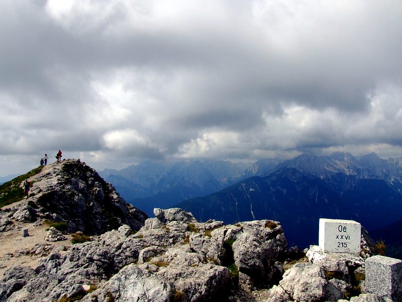
Boundary stone on the summit of Mittagskogel.
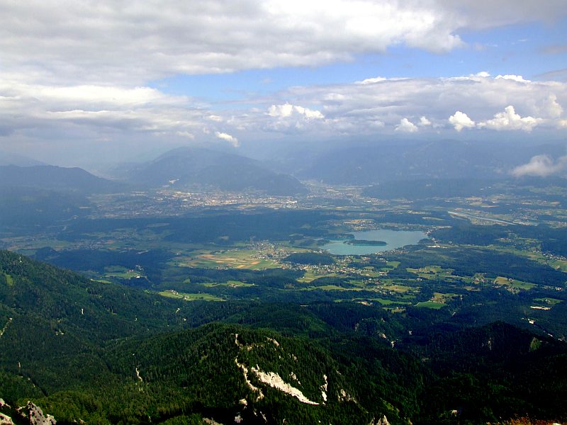
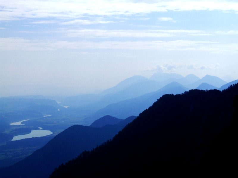
Villach and Lake Faak.Hohe Tauern are now hidden in the mist.
Now I walk down the extremely steep western slope of Mittagskogel. Triglav still wrapped in clouds.
The rocky ridge to "Small" Mittagskogel (1.815 m) is rather exposed in places: Hidden behind the mountain dwarf pines to the right there is one short passage being even worse than the bad step on Blencathra´s sharp edge (Lake district, England), but here there is a fixed steel rope.
View from "Small" Mittagskogel to Mittagskogel.
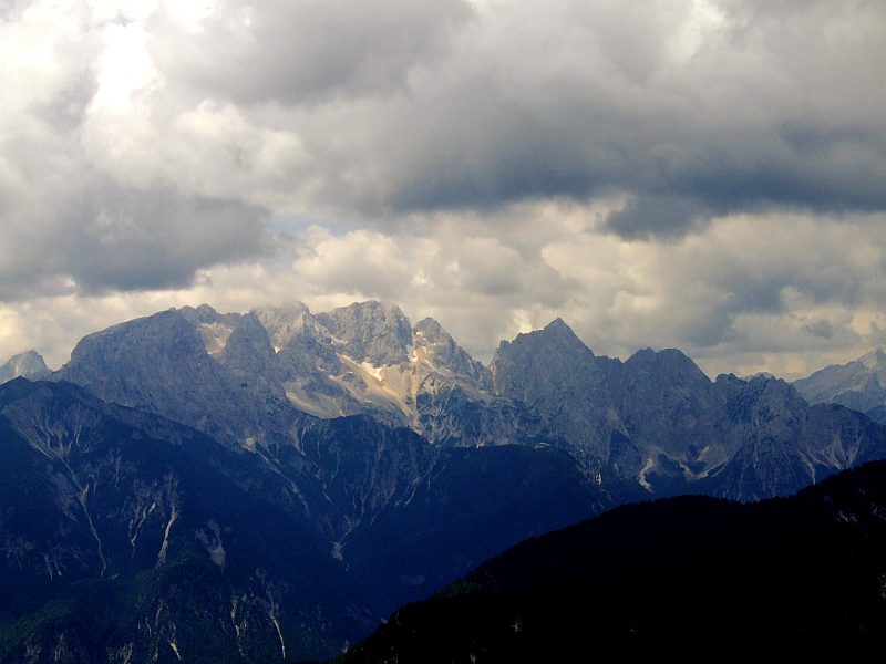
Now Triglav is nearly free of clouds.
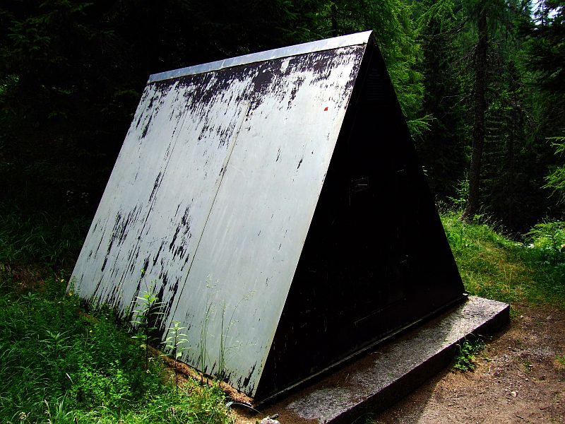
Near the former (burnt down) Annahuette (1.577 m) a bivouac box was installed. However, there are plans for the reerection of the lodge.
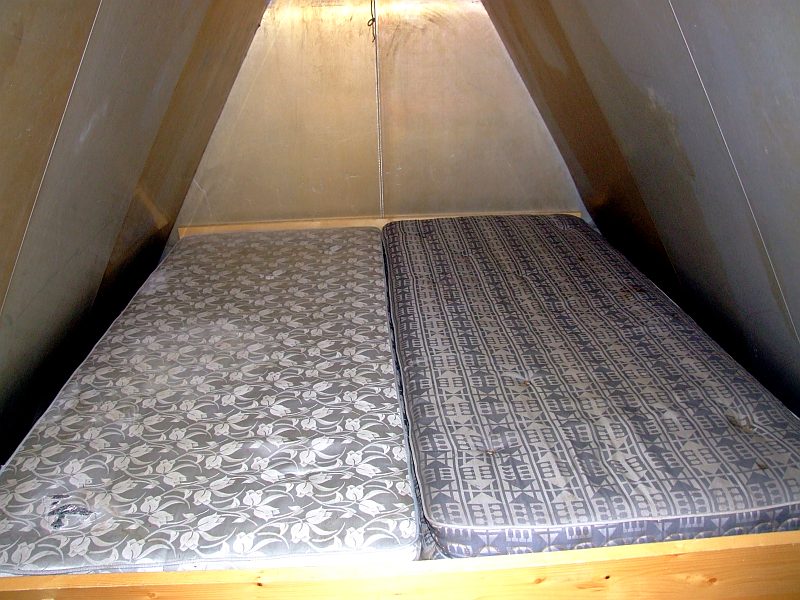
The inside of the box: only an emergency sleeping place for at maximum three walkers.
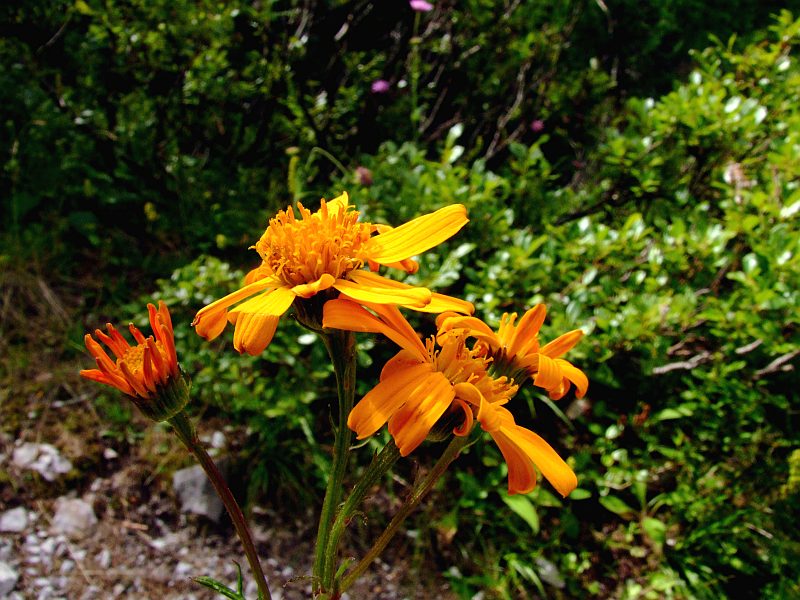
On my descent I had an eye on the flora in the forest: Tyrolian ragwort (Senecio abrotanifolius)
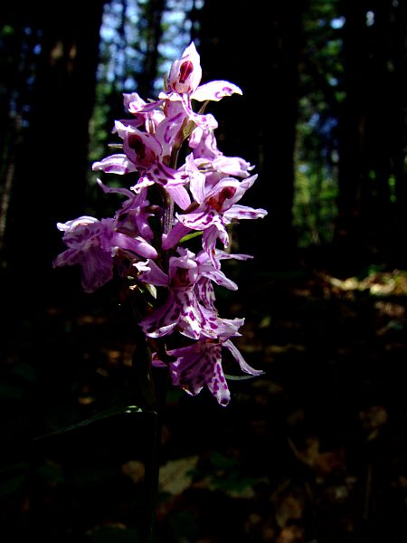
Heath Spotted Orchid (Dactylorhiza maculata)
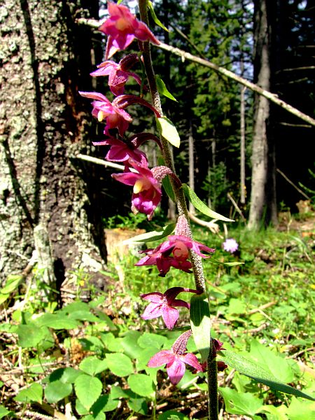
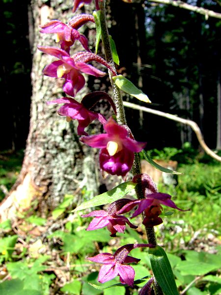
Dark-red helleborine (Epipactis atrorubens)
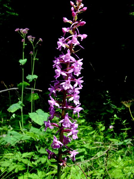
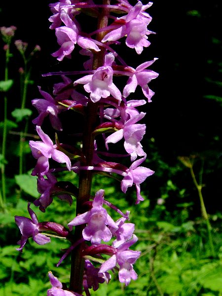
Fragrant Orchid (Gymnadenia conopsea)
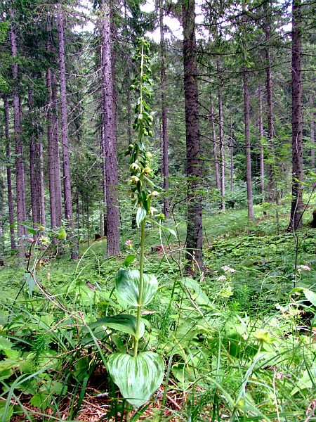
Broad Helleborine (Epipactis helleborine)
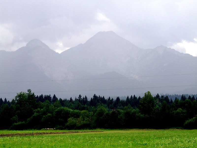
Having entered the car, only after a few kilometres the thunderstorm began with rain. View from near Lake Faak back to Mittagskogel, with Ferlacher Spitze (1.742 m) to its left. My route ledf me up into the hollow between Mittagskogel and Ferlacher Spitze (there is Berta- Huette), then up to the summit of Mittagskogel from the left side, further down the ridge to the right, passing Kleiner Mittagskogel, and descending approximately on the right edge of the picture, walking time about 7 hours.