Dobratsch 8.2.2012
Today, the snow shoe group is walking on Dobratsch, and as Ule, the guide, has advertised it to be much harder than last time, now only three men are walking. With the hotel´s small bus, we drive up the Dobratsch - Alpenstrasze, which is cleaned even in winter, and from the uppermost parking space (1.733 m) we climb the Zehnernock (1.956 m). Although it is only about 200 m ascent, it still is quite strenuous to walk up a very steep slope in deep snow. You also may sink into the snow with the snow shoes - not to the hip, but to the knees, if the snow is very deep.
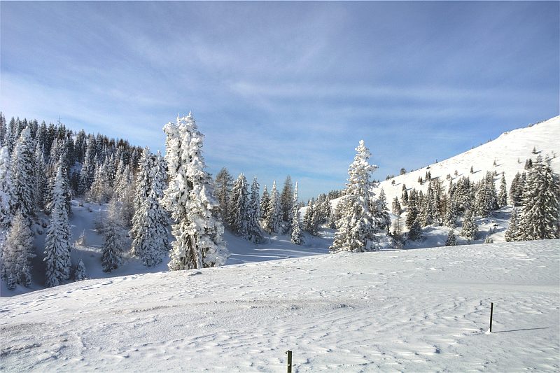
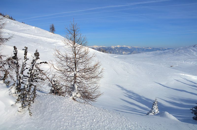
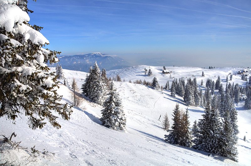
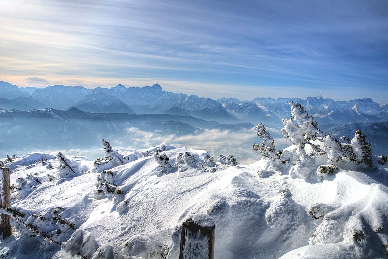
Winter wonder land on the Dobratsch plateau.
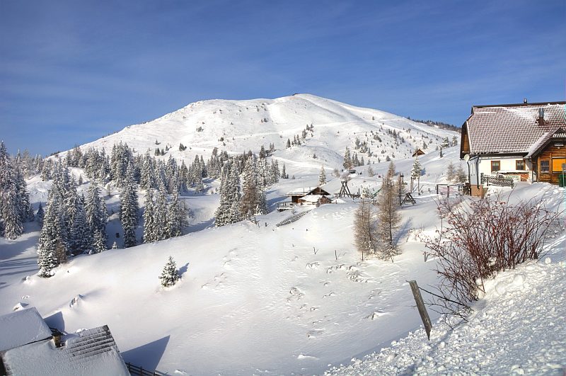
The hut at the Rosstratte (1.733 m) and the view to the Zehnernock, today´s goal.

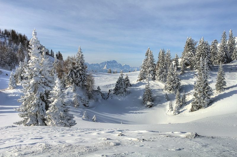
Dolina near the hut
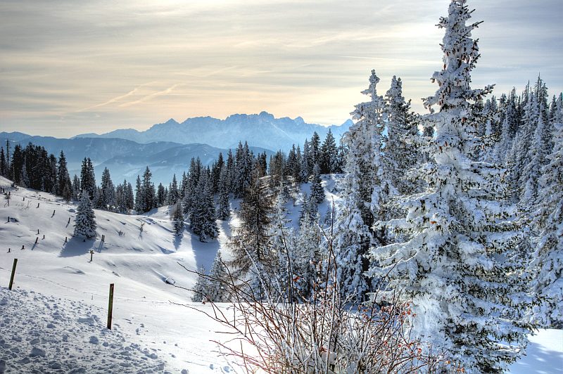
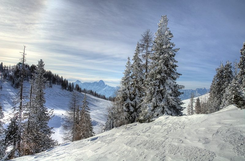
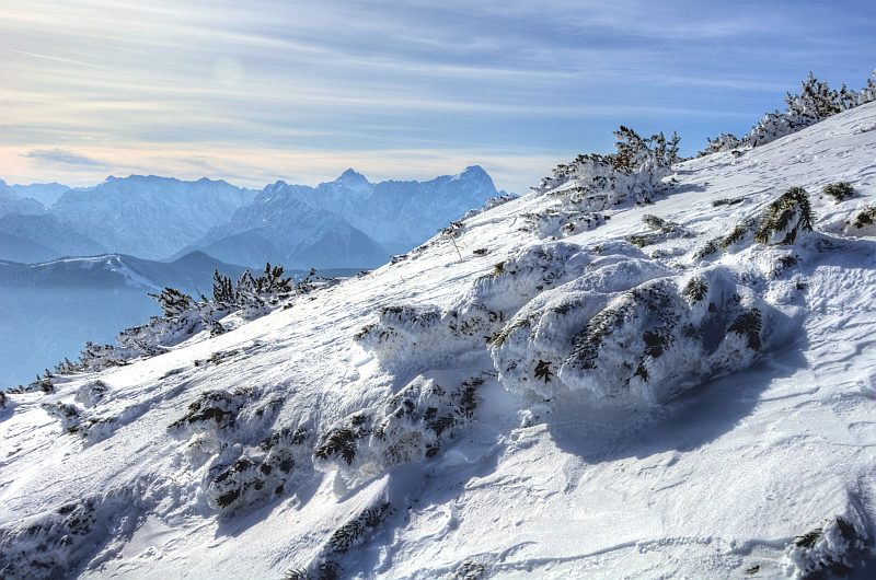
A first glimpse of Montasch (2.754 m) in the Italian (western) part of the Julian Alps.
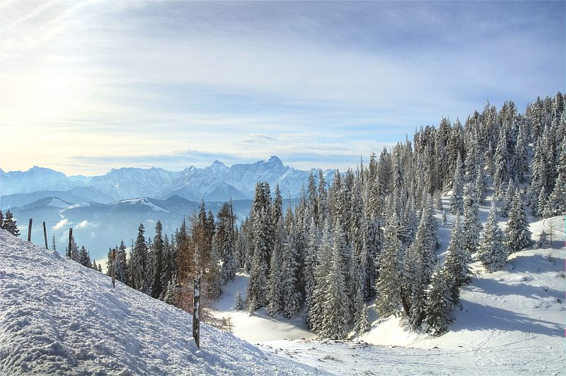
View to the northeast to the Austrian Nock mountains.
Sbow cornices
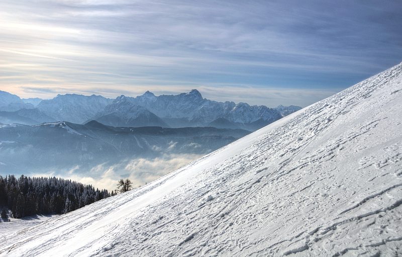
Mangart (2.677 m) in the Julian Alps, on the boarder between Slowenia and Italy
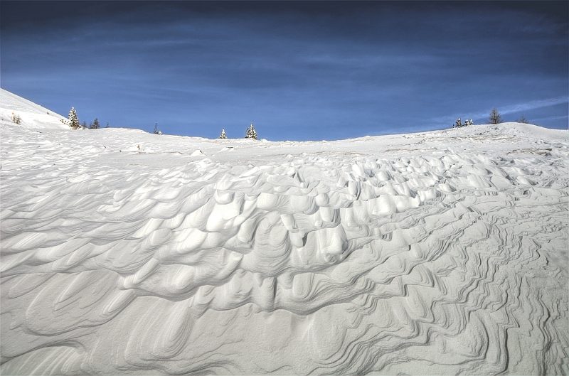
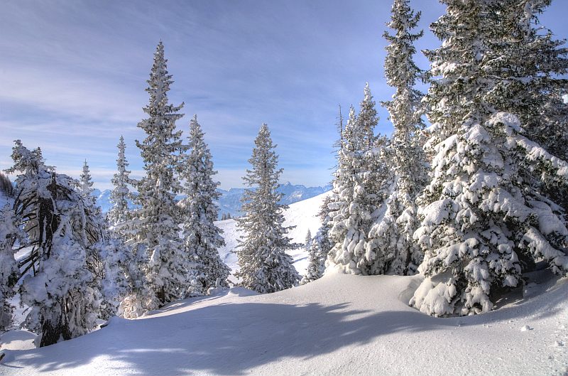
Interesting snow structures in the lee beneath the ridge.
View to the east to Gerlitzen (1.911 m), a large and popular ski area.

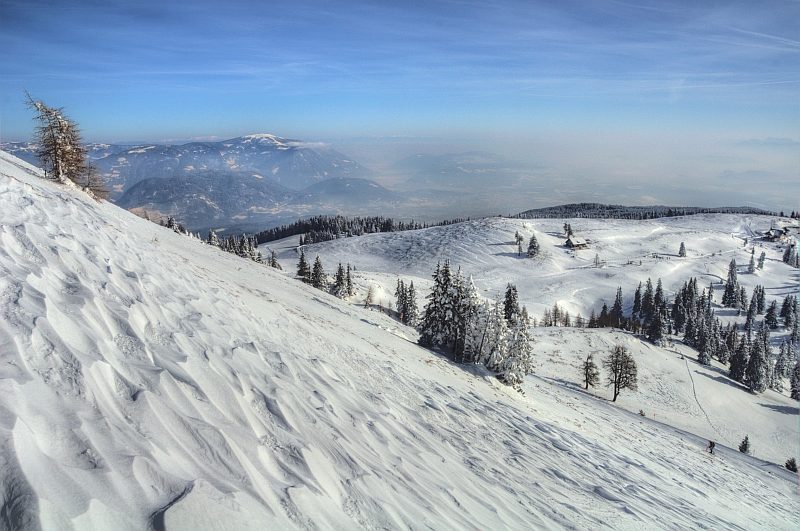
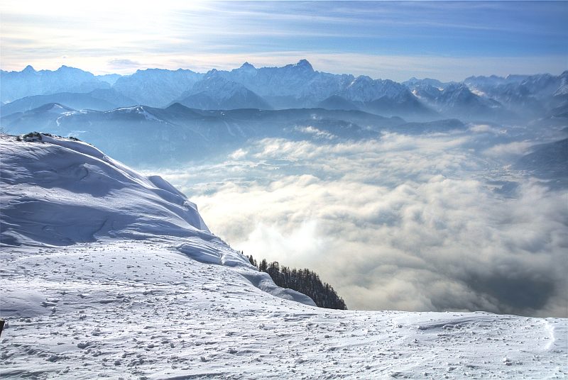
View back to the large dolina and to the parking area.
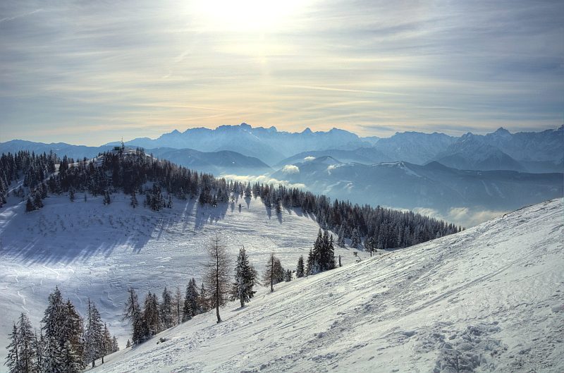
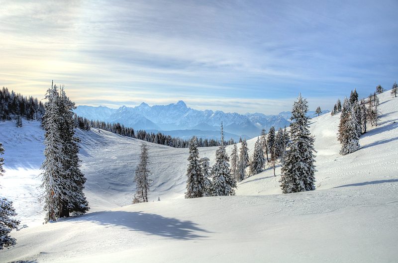
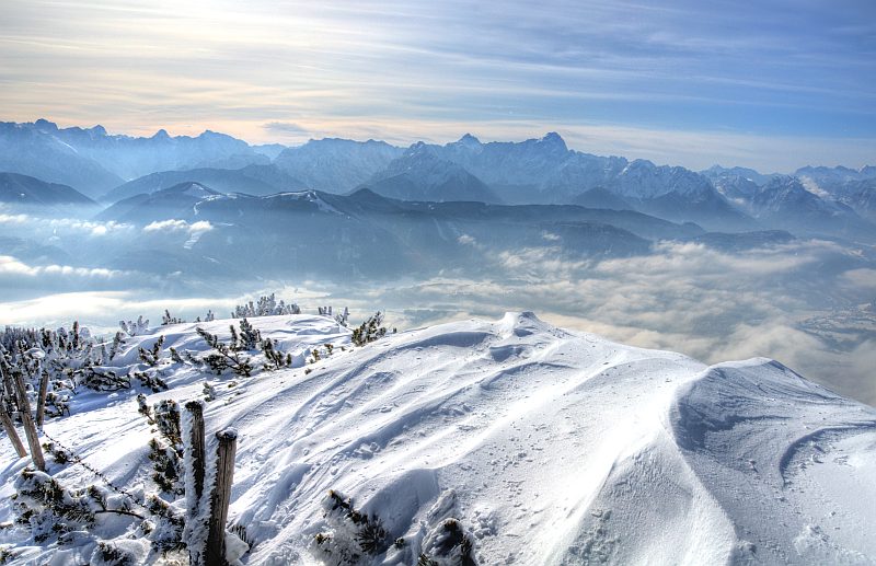
The eastern Julian Alps with Triglav (2.864 m), Slowenia´s highest mountain.
Julian Alps and Mangart. In front to the left is the skiing area of the Dreilaendereck ("Three countries corner"), where we do skiing during our holidy.
Wind pressed snow, view to Gerlitzen.
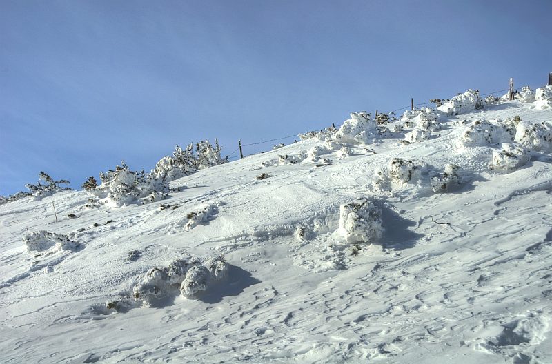
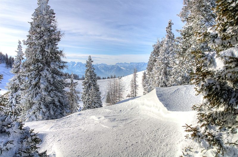
Alpine dwarf pines, near completely covered with drifted snow.
Dreilaendereck, Mangart to the right. Southeast of the Dreiländereck is Slowenia, southwest is Italy and to the North (where I am standing) is Austria.
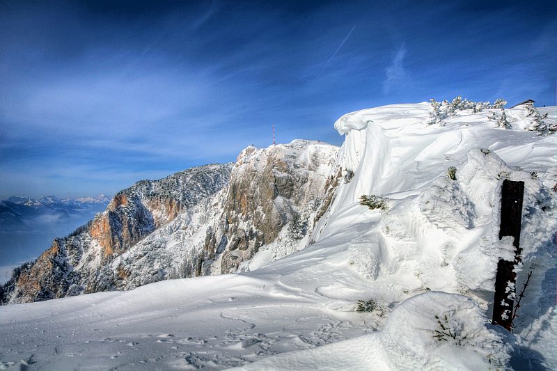
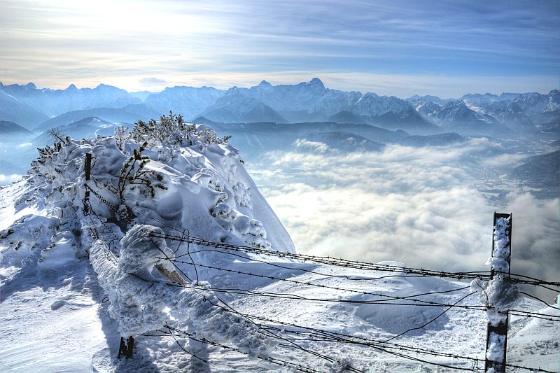
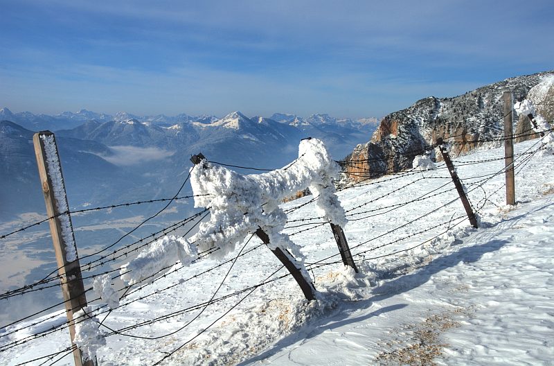
Huge cornices at the edge of the southern escarpments of the Dobratsch plateau.
The southern escarpments and rock walls of Dobratsch. On Jan 25th, 1348, a huge earth quake was shaking a large area around here. The nearby city of Villach (60.000 inhabitants today) was near completely destroyed, and part of the mountain collapsed with about 150 billion m3 of rocks falling down.
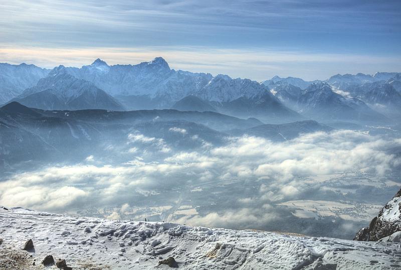
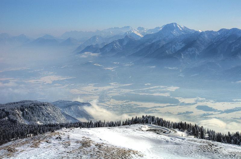
A bit of mist over the Gail valley ...
... and the uppermost Kanal valley (far right).
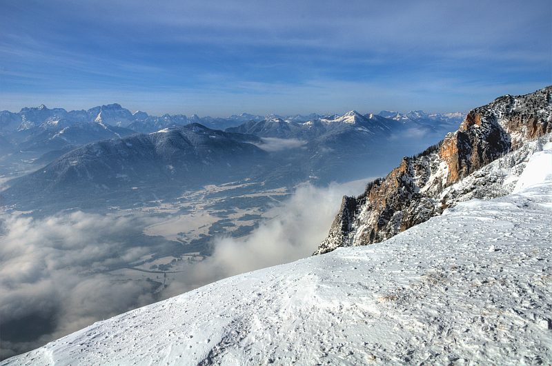
View down to the Gail valley.
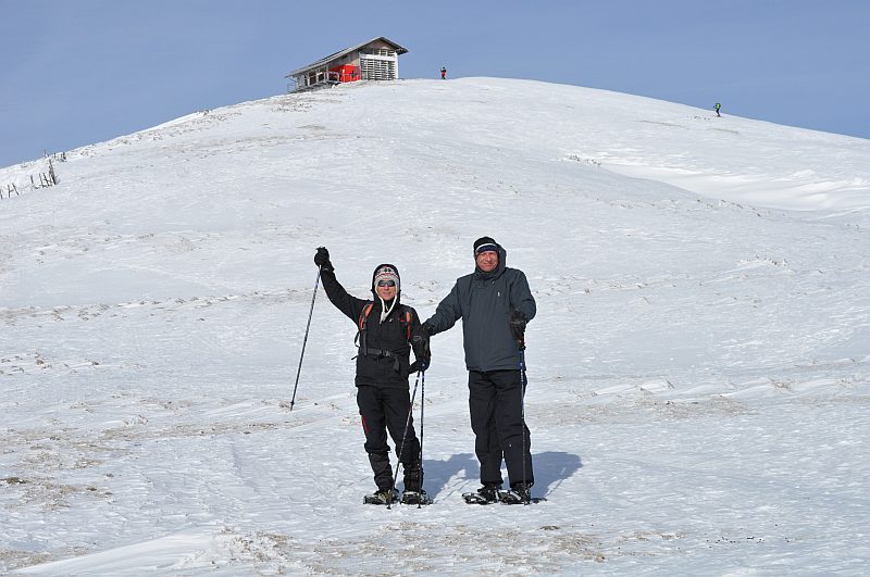
Approaching the hut on Zehnernock (the former summit station of the dismounted ski lift) - my two companions.
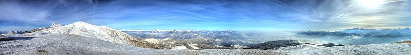
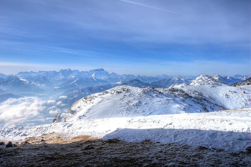
Panoramic view (270 degree) from Zehnernock. Click here or into the picture for a larger version.
Viewing out of the shadow of the hut to Montasch.
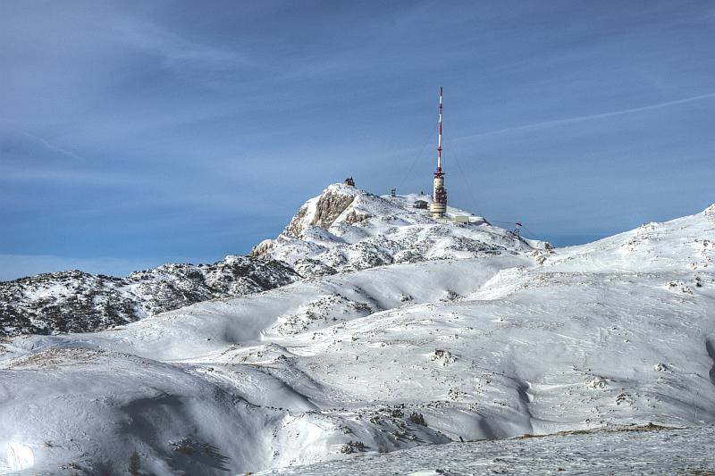
Dobratsch summit with the 165 m TV and radio tower of the ORF. To its left is Europe´s highest church (2.150 m).
Once more a view over the Gail valley to Mangart
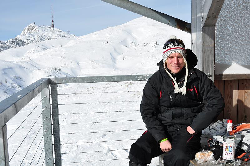
Ule takes a little rest in the sunny shelter of the hut.
View to Mittagskogel - our hotel being situated on its foothills. Lake Faak is snow covered, I cannot discern it.