26.6.2016: Trondheim - Kristiansund - Molde
During the night, our ship has sailed south and put on in Trondheim at 6:30 a.m. This time, we opt for the city bus tour. Breakfast is from 6:30 today, and at 7:50 we enter the bus, ...
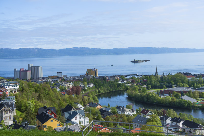
... first driving us to a view place at the Fritjof Nansenvej.
View to the North over the river Nidelva and out to the Trondheim fjord.
Northeast over the river Nidelva - Fluss and to the Trondheim fjord ...
... and to the south into the land.
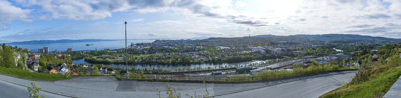
Panoramic view of Trondheim, as seen from the view point at the Fritjof Nansenvej. Click here or into the picture for a larger display.
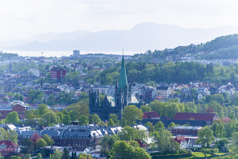
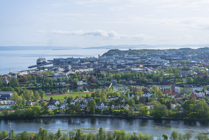
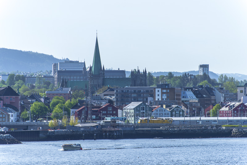
Zooming in to the Nidaros cathedral.
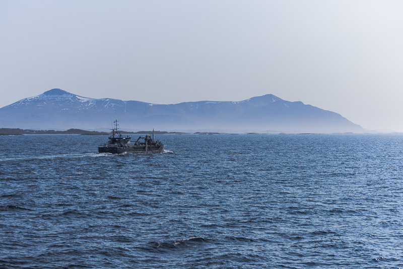
This is not our ship - our ship is much smaller.
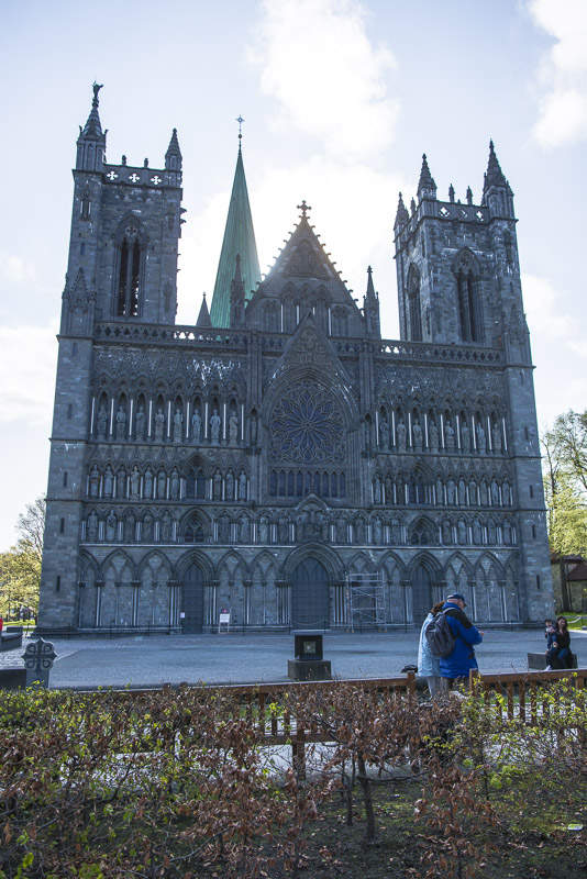
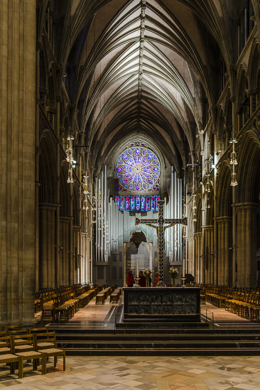
Arrived at the Nidaros cathedral, we wait for our guided tour.
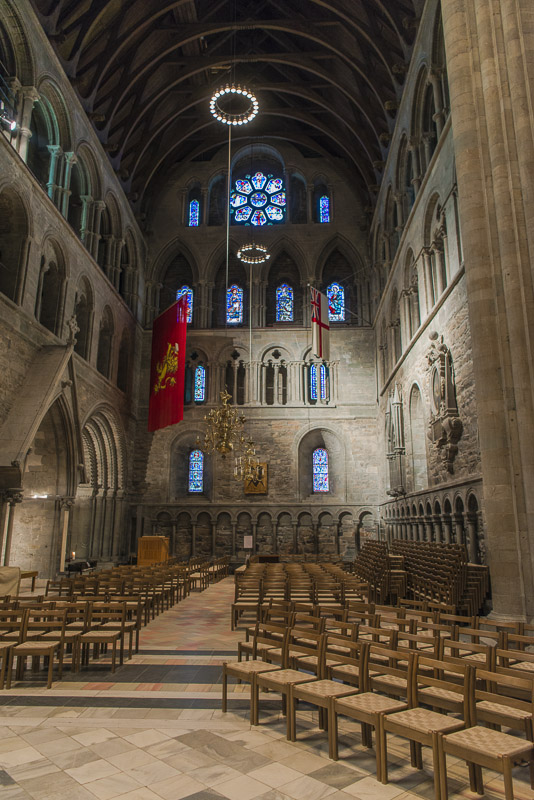
The Nidaros cathedral. View back to the organ ...
... and to the altar.
Right aisle ...
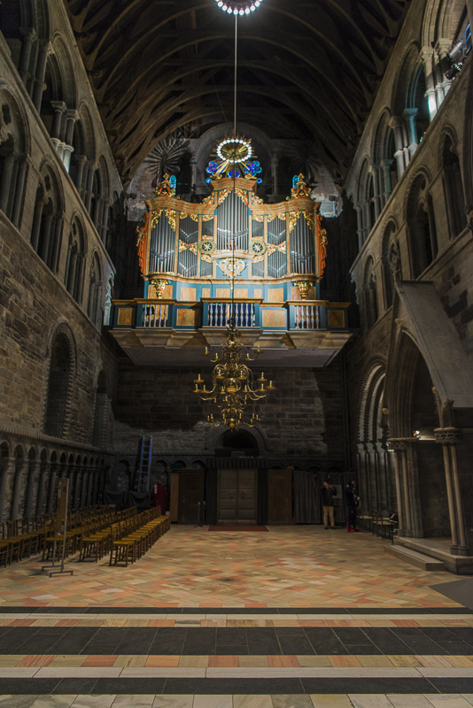
... and the left one, with a second organ.
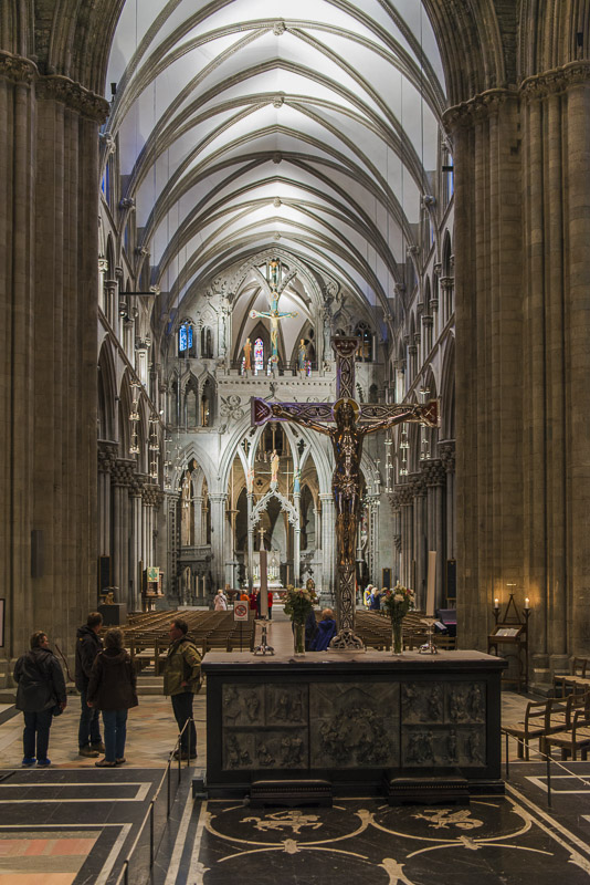
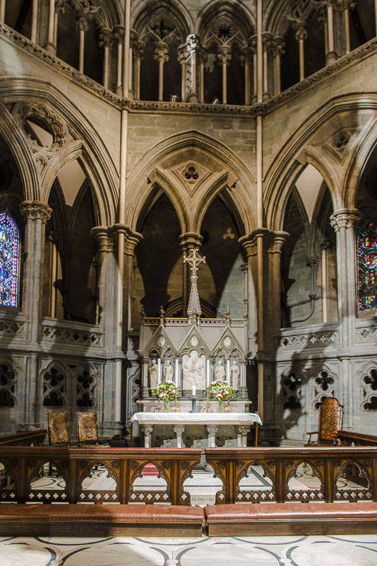
A second view to the front.
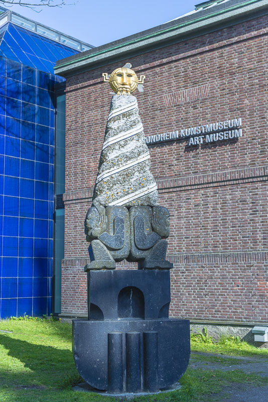
Back outside - art in front of the museum.
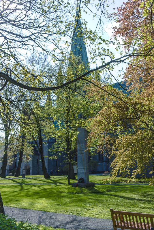
The cemetery around the cathedral.
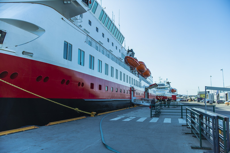
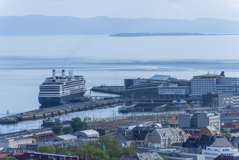
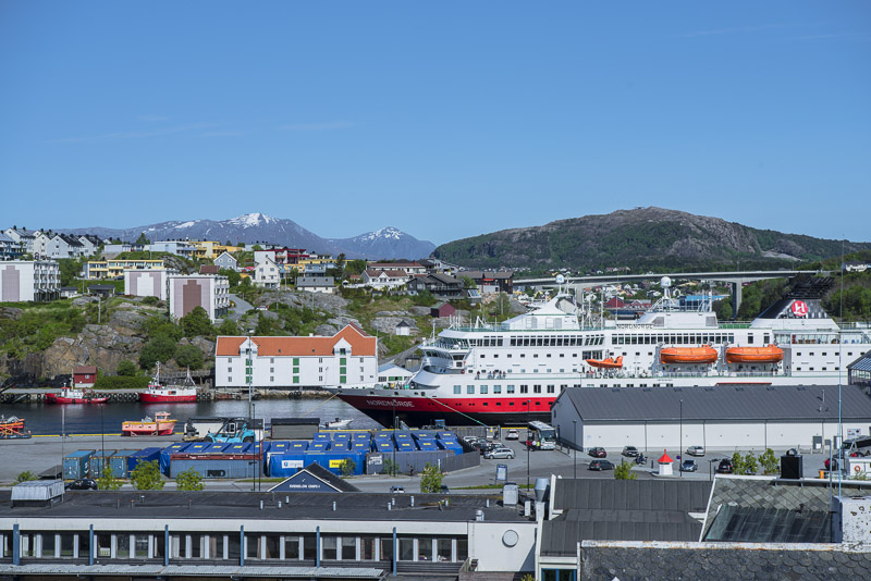
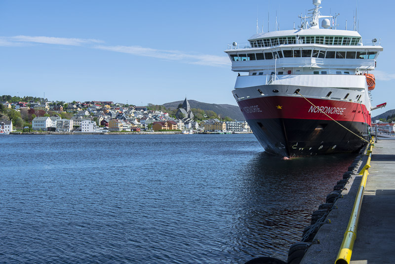
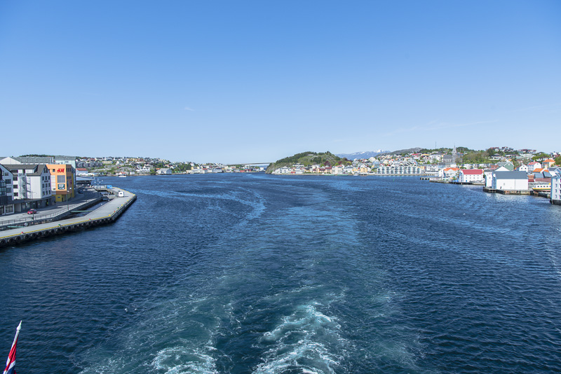
Back at the ship. A second ship has put on, the MS Polarlys.
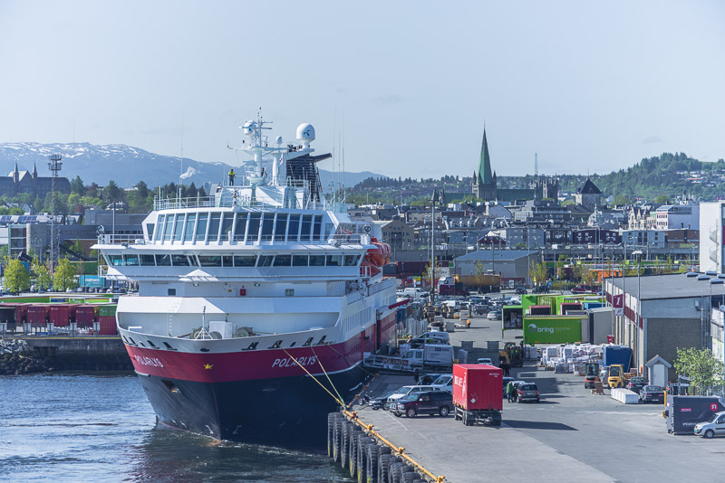
The Polarlys is going to stay till 12 a.m., whereas we leave at 10:00 a.m..
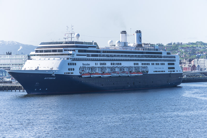
The cruiser "Rotterdam"
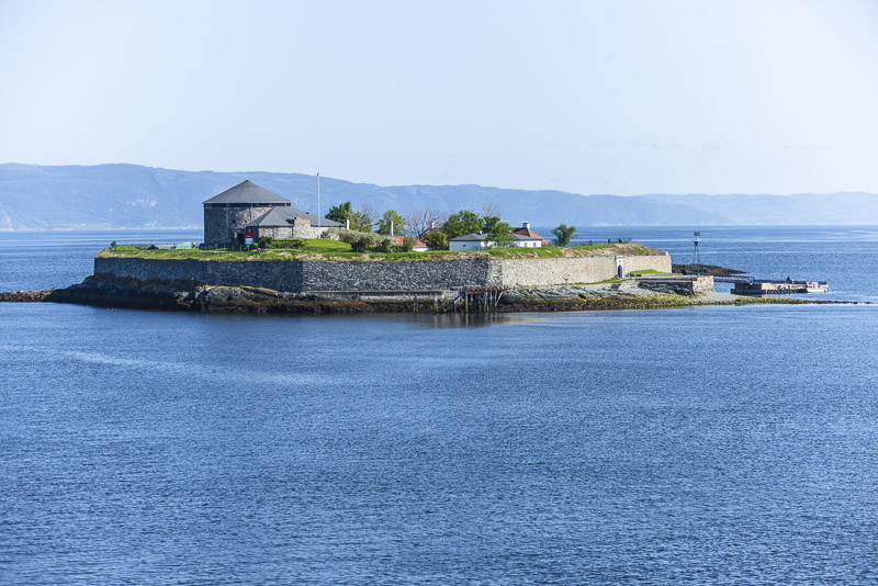
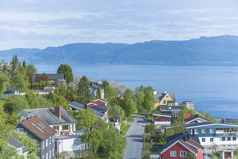
The former monastery island Munkholmen, today a recreational area.
Back through the Trondheim fjord, first westbound ...
... and, after this bend of the fjord, northbound.
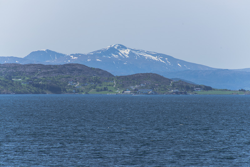
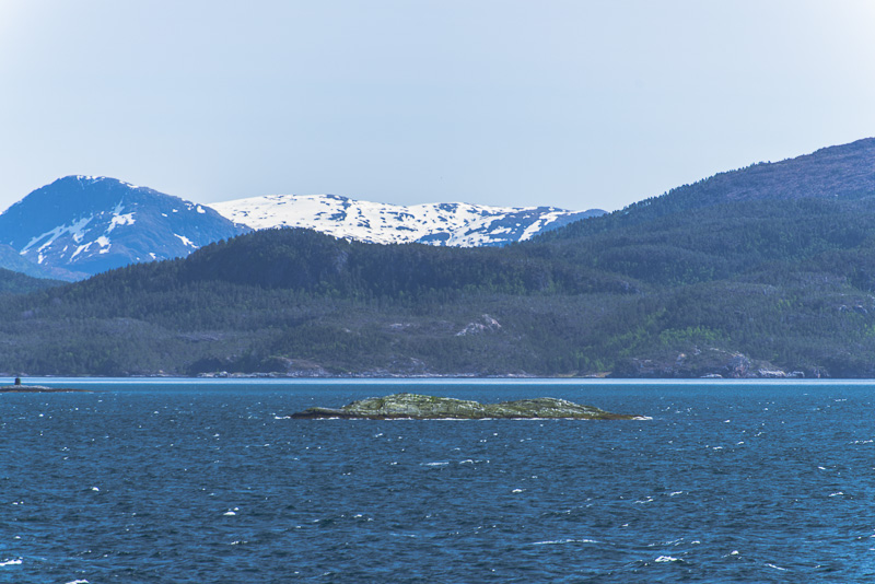
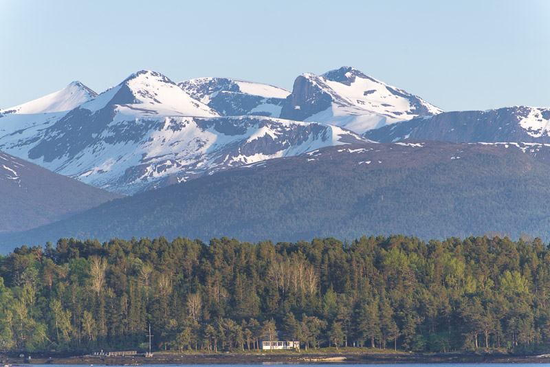
Higher mountains still covered with snow.
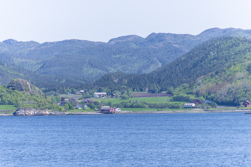
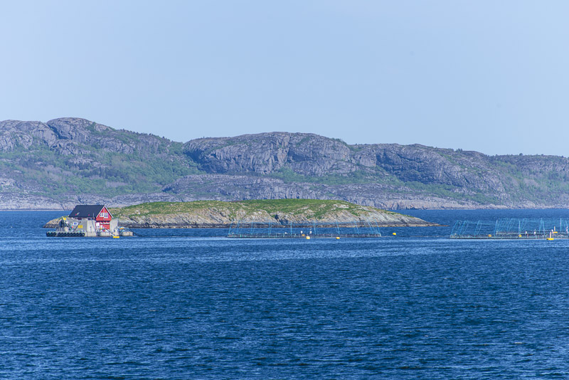
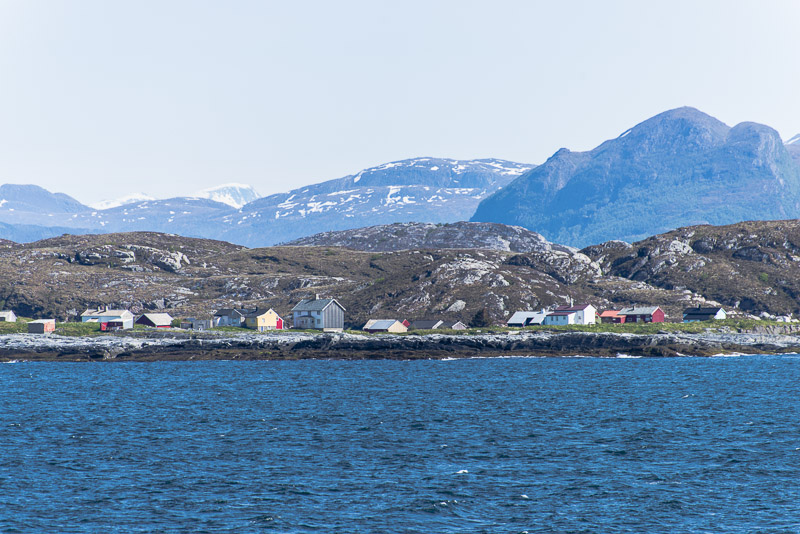
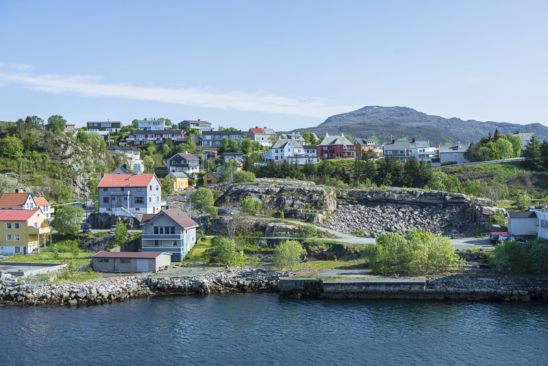
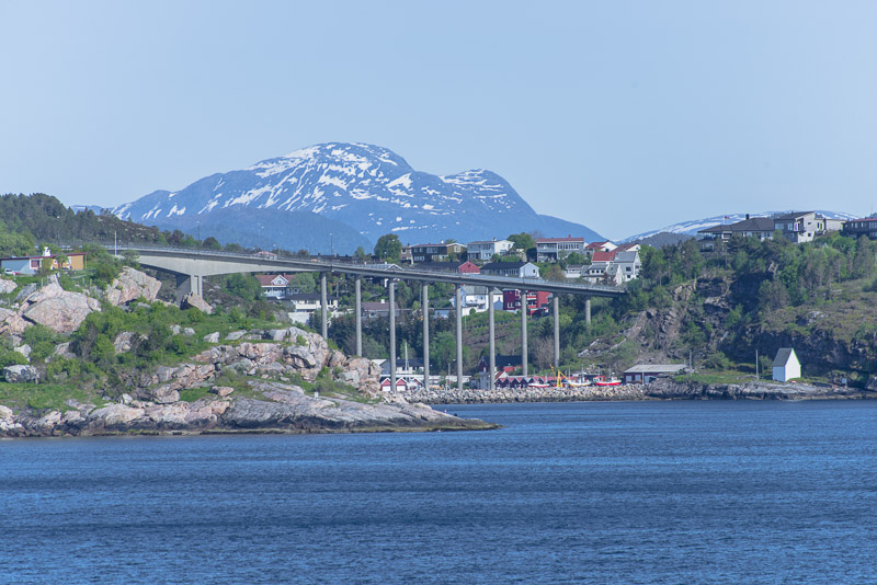
Passing the small village of Rødberget ...
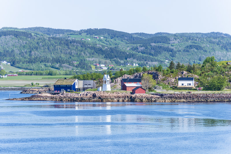
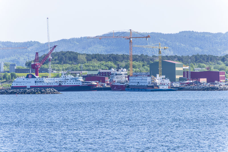
... and the shipyard Fosen Yards, where the Hurtigruten ships Midnatsol and Trollfjord were built.
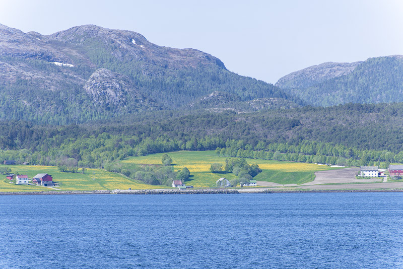
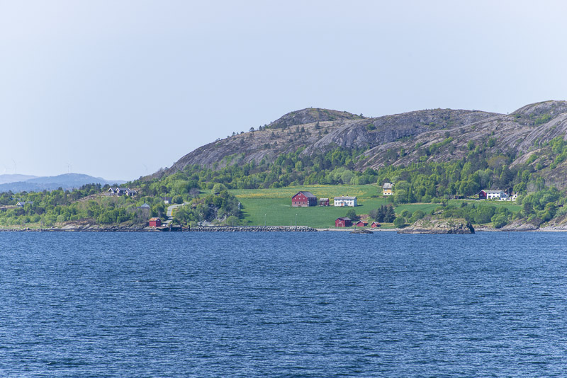
Large fields with yellow dandelions can be seen from afar.
Finally we sail around a second bend near Agdeneståa leaving the Trondheim fjord to southwest.
Big contrasts in the landscape - fresh grassland and bare rocks.

We are now sailing ...
... along the Trondheimsleja sound.
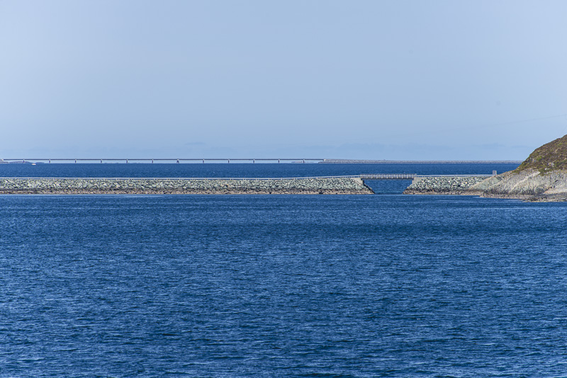
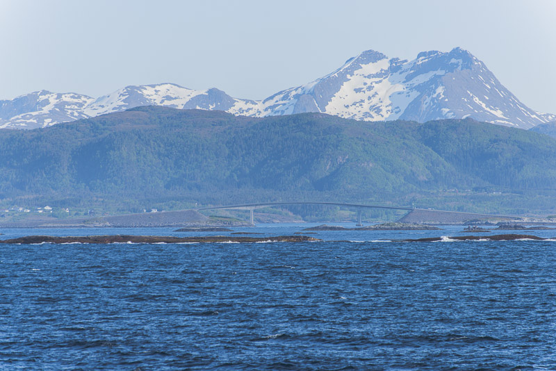
Never ending bridges ...
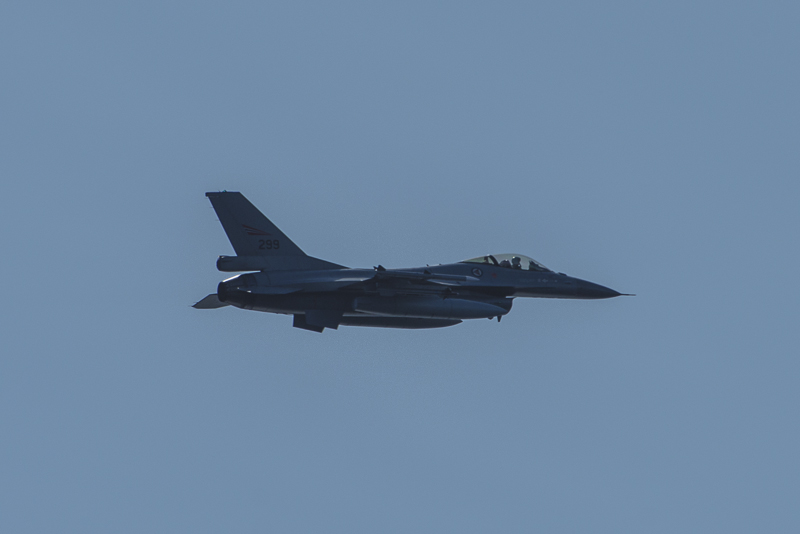
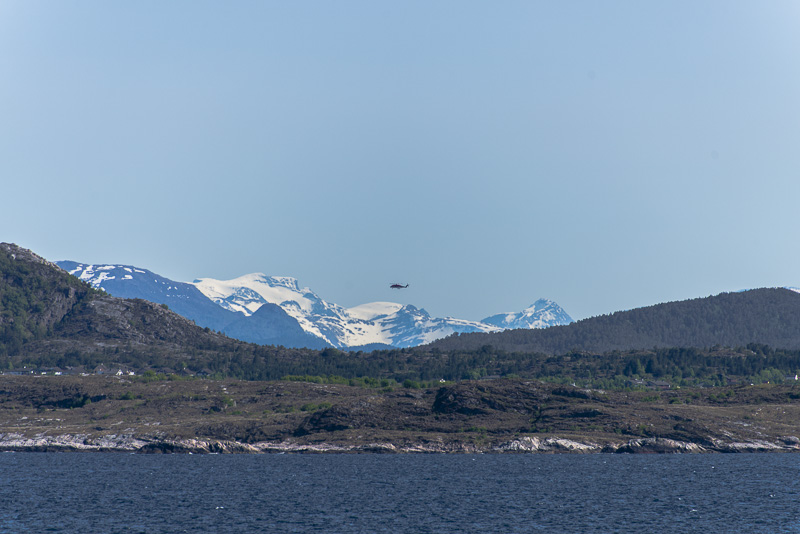
Visit from the air for a change ...
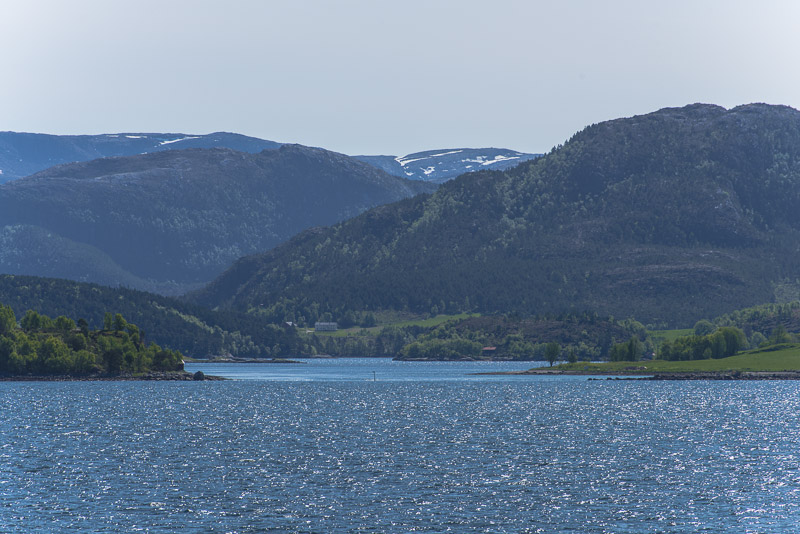
Coves and fjords branching off the Trondheimsleja sound.
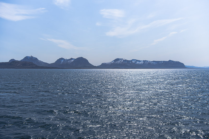
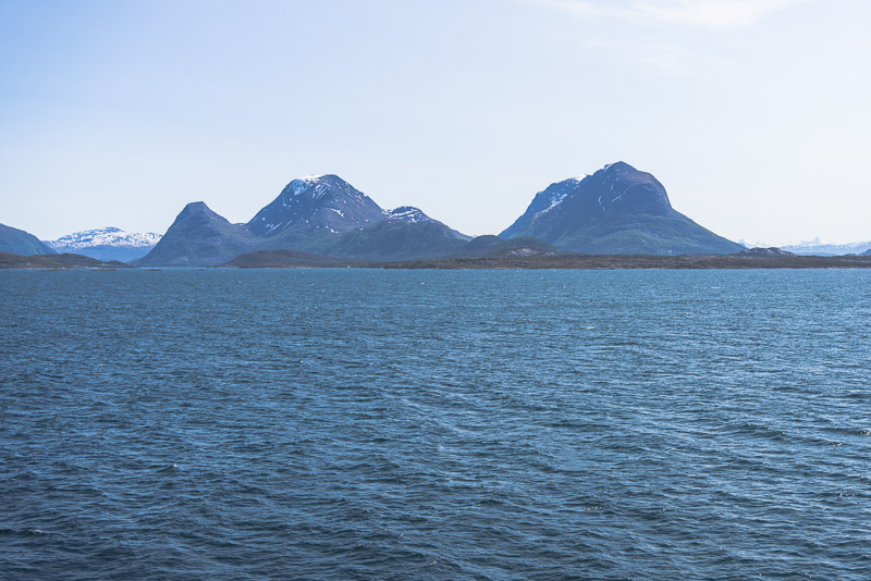
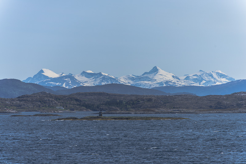
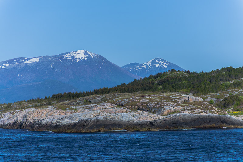
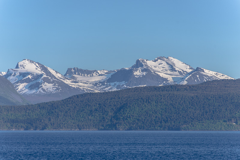
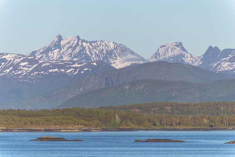
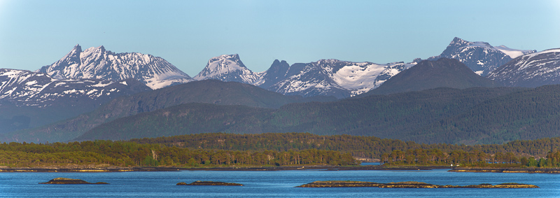
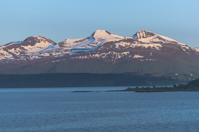
More prominent peaks a bit more south ...
... and views to even higher summits afar.
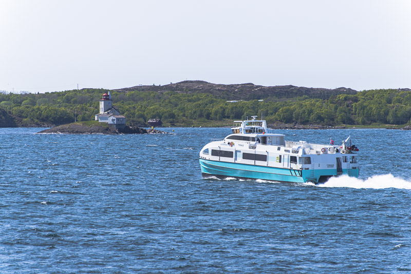
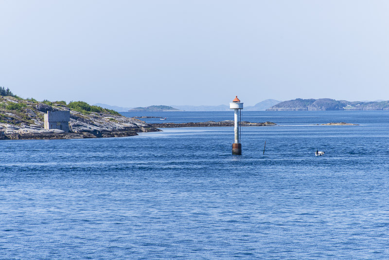
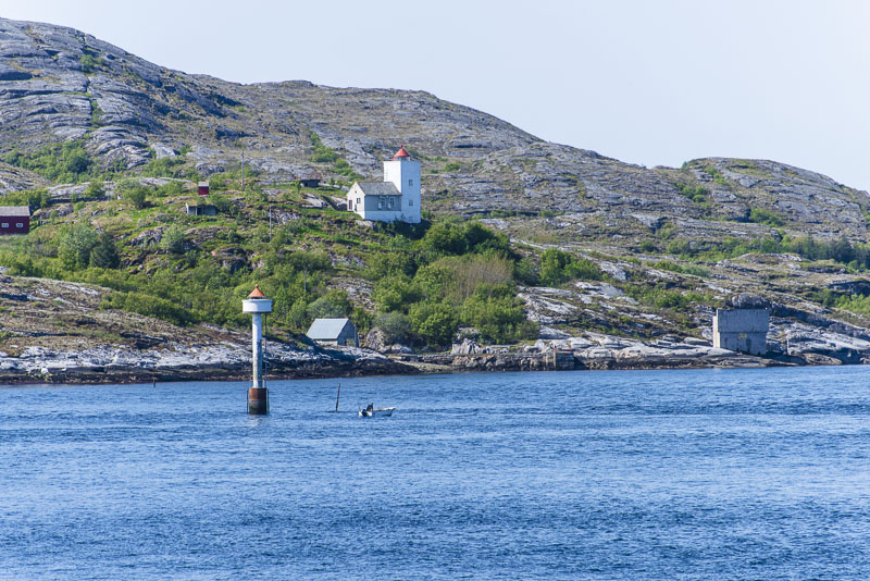
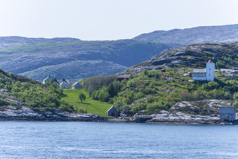
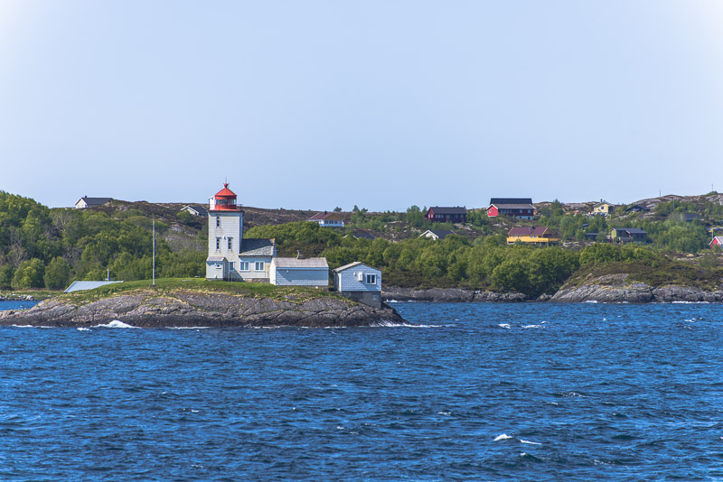
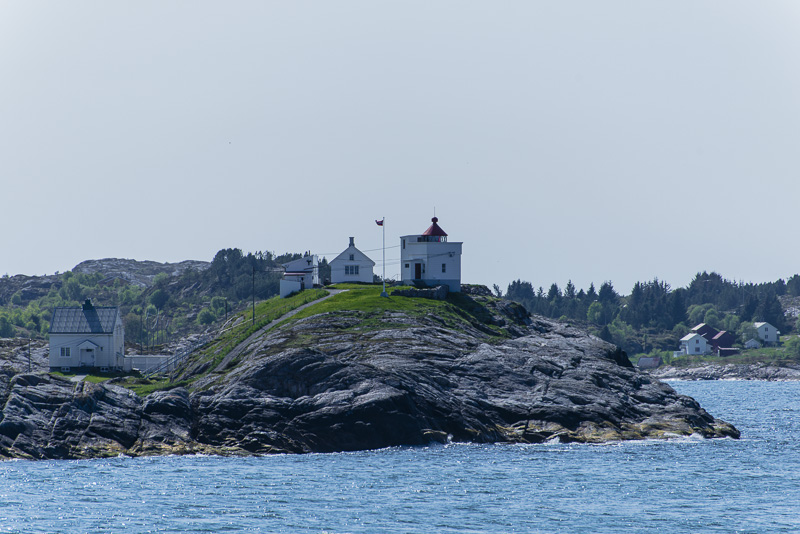
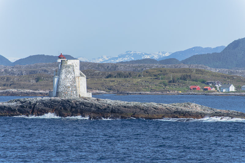
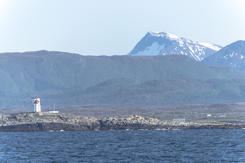
Lighthouses - this is the Kyrhaug lighthouse ...
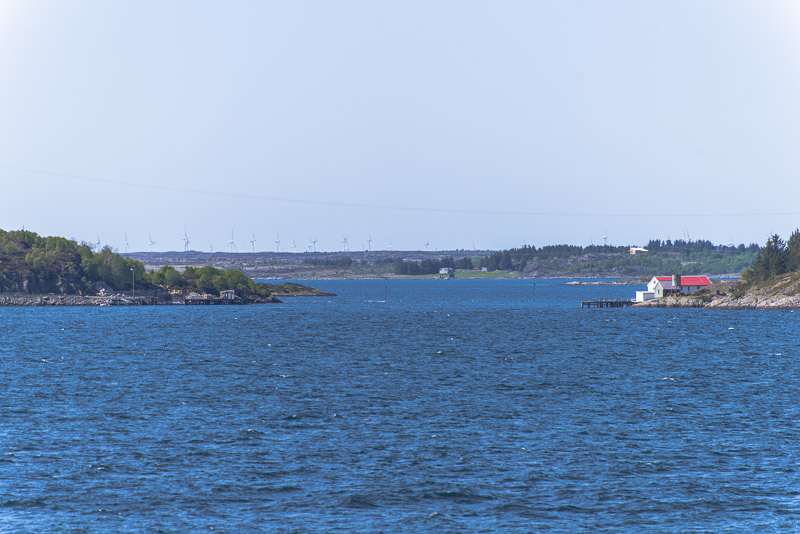
... and wind turbines.
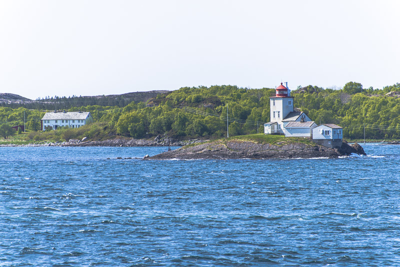
Kyrhaug lighthouse
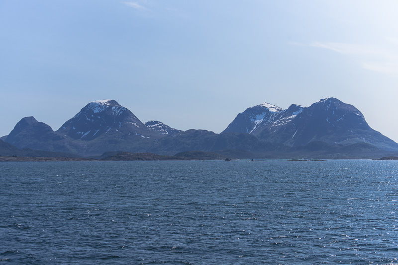
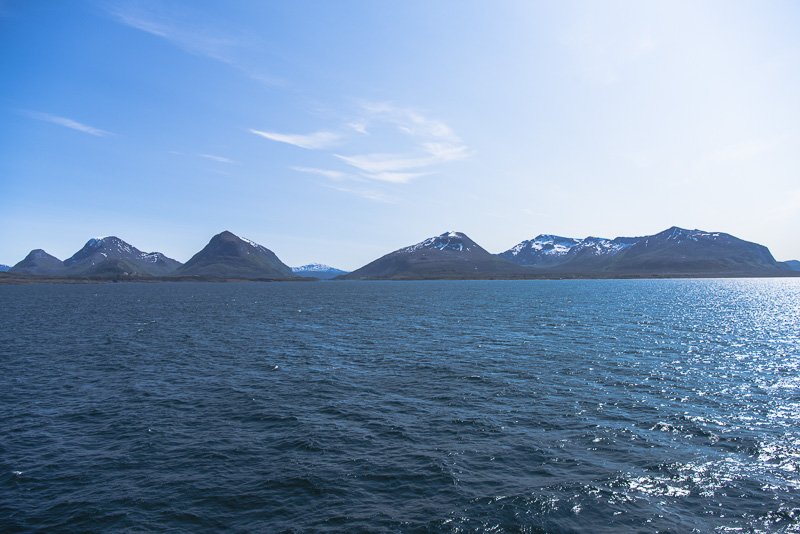
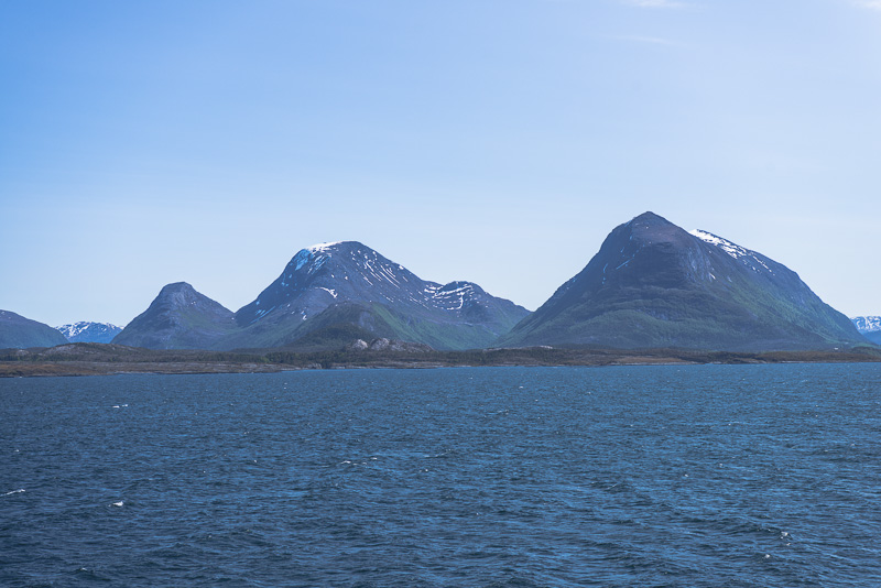
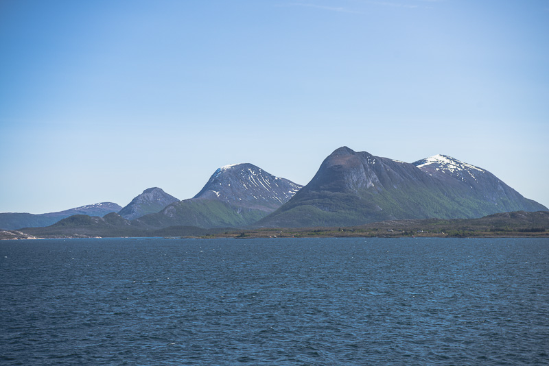
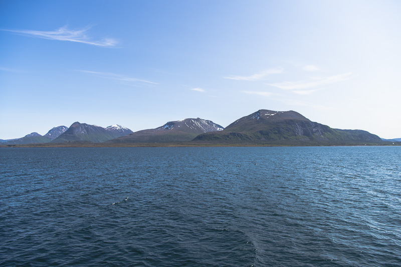
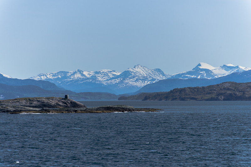
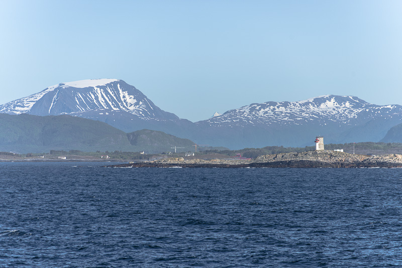
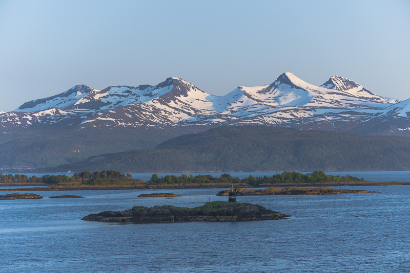
Steep mountains raising up from the sea - Skabben and Knubben (summits up to about ca. 900 m).
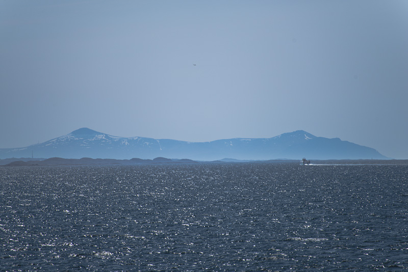
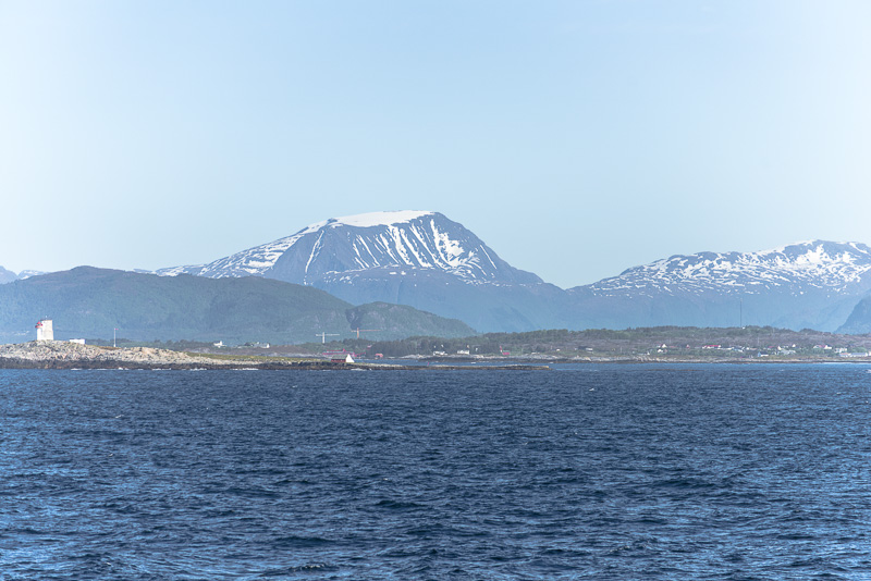
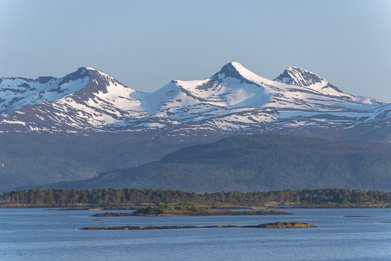
Much higher ones behind, which I cannot identify due to the distance.
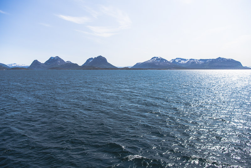
We circle Skabben and Knubben
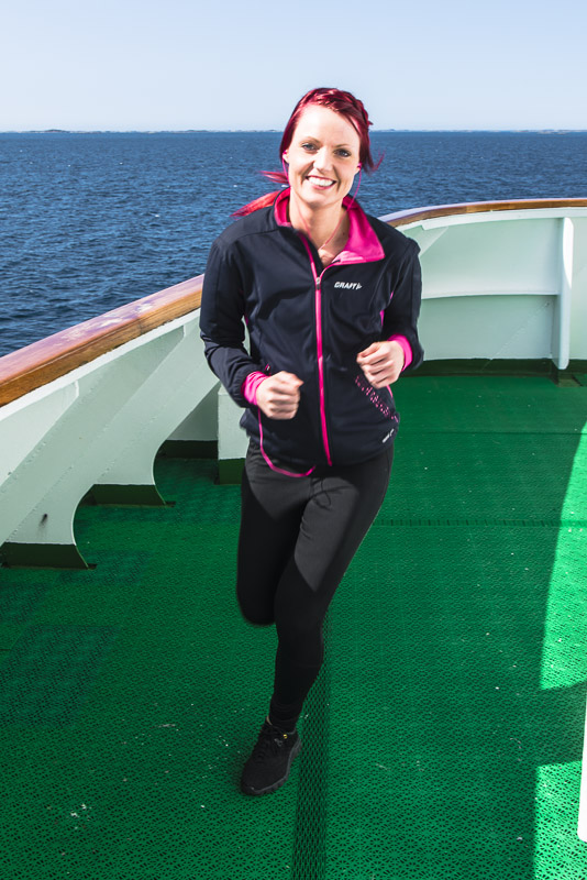
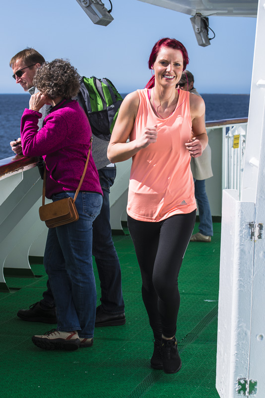
Our restaurant´s head waiter on exercise - four rounds are about one kilometer. It is warmer than she first anticipated.
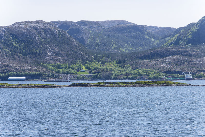
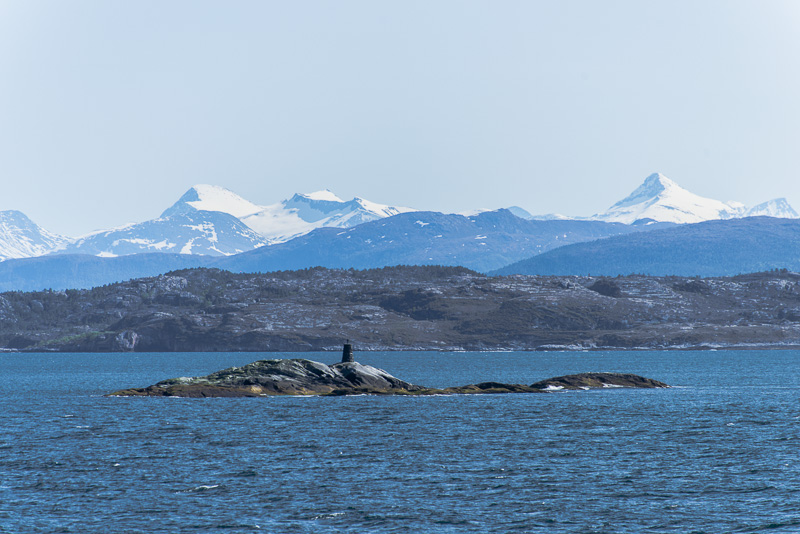
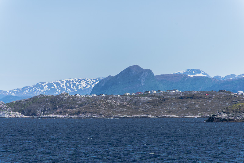
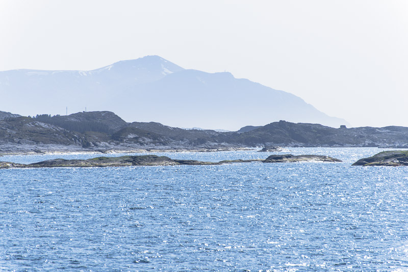
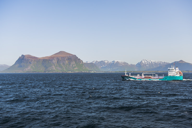
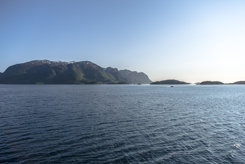
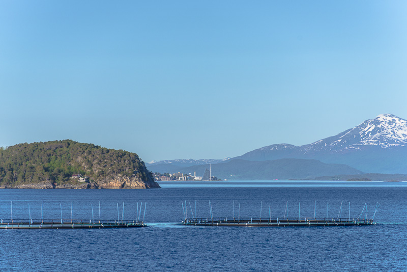
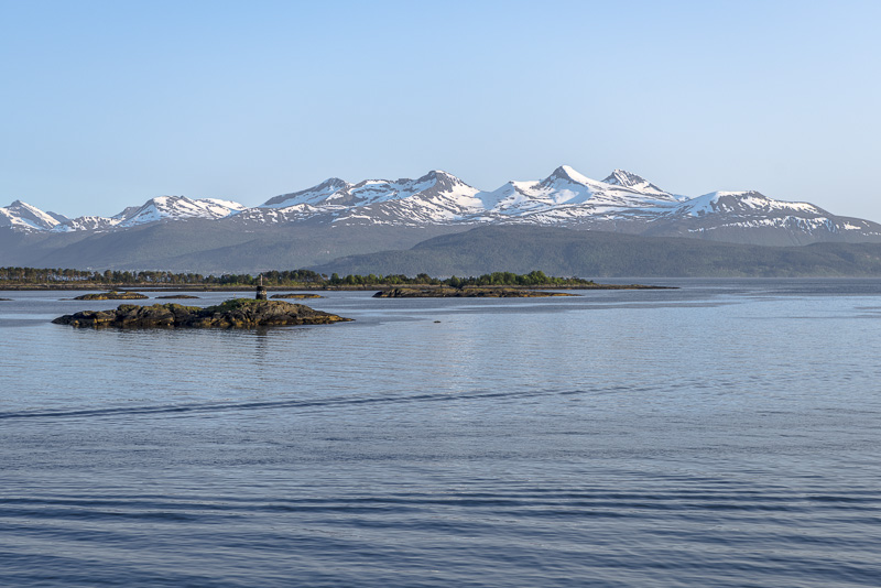
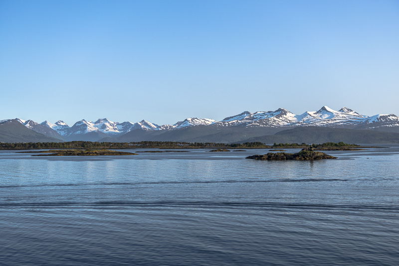
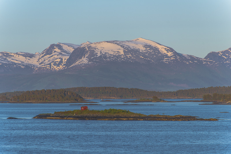
Skerries and small offshore islands.
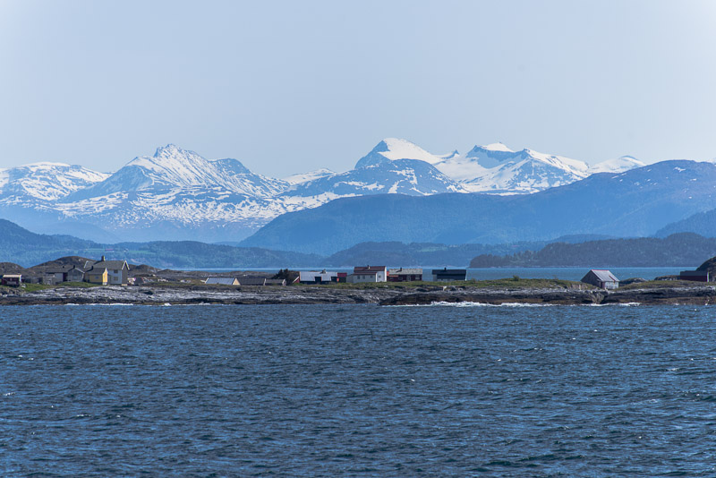
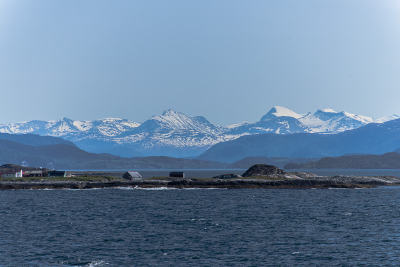
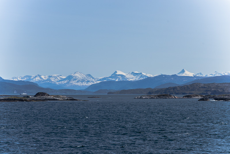
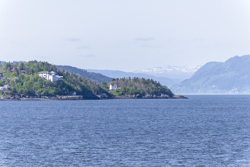
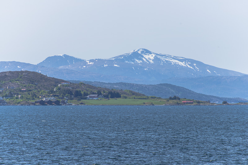
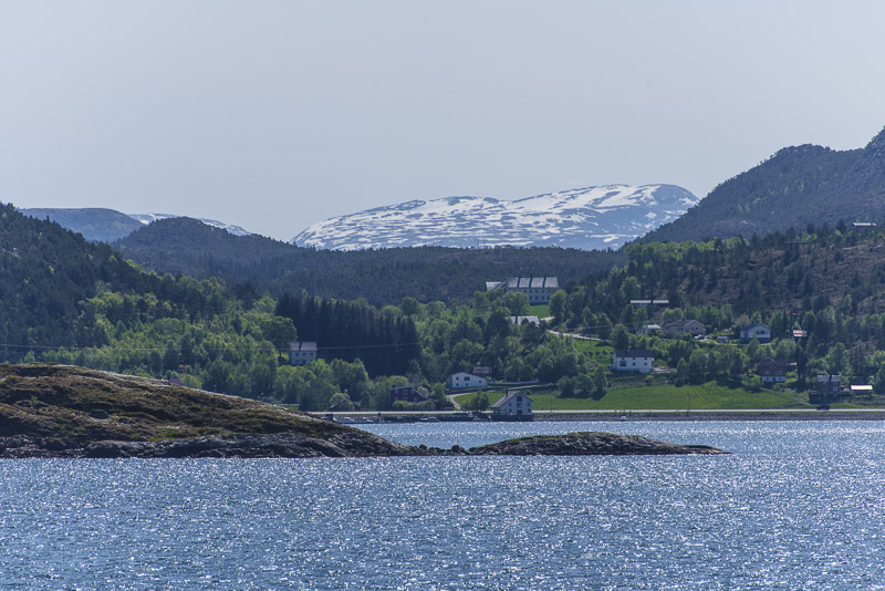
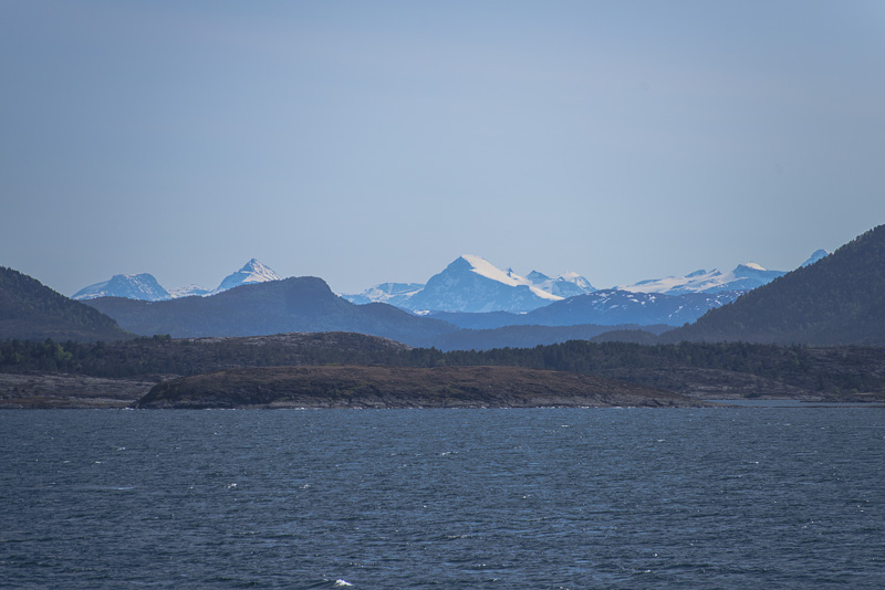
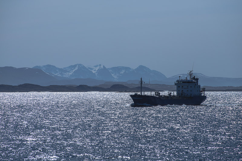
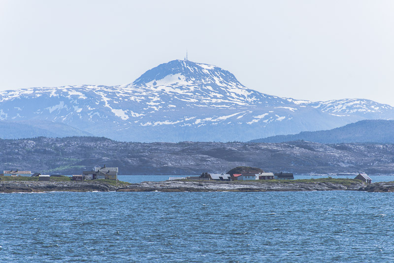
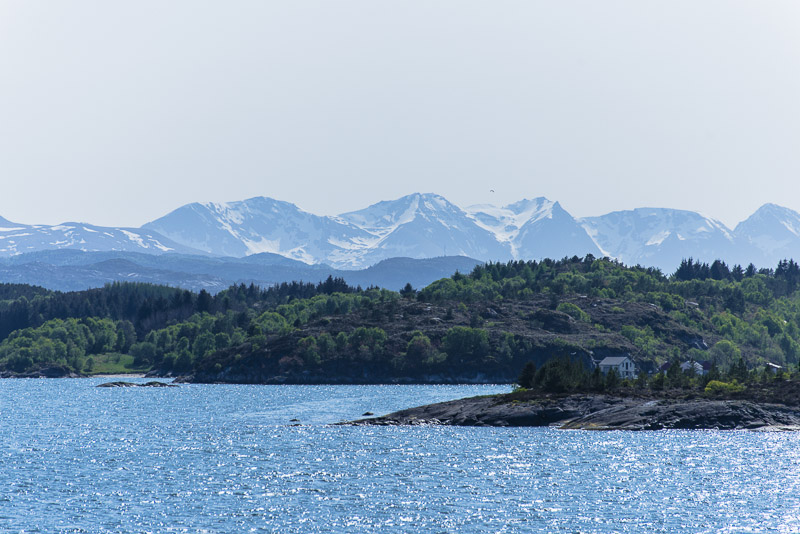
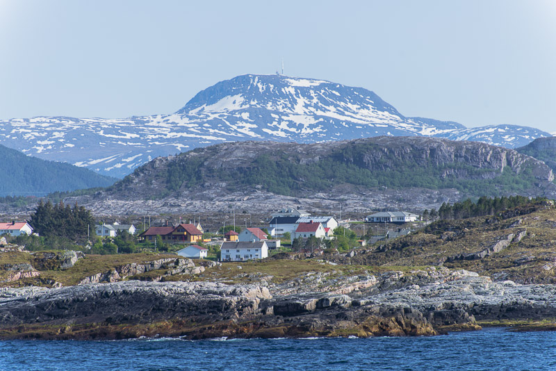
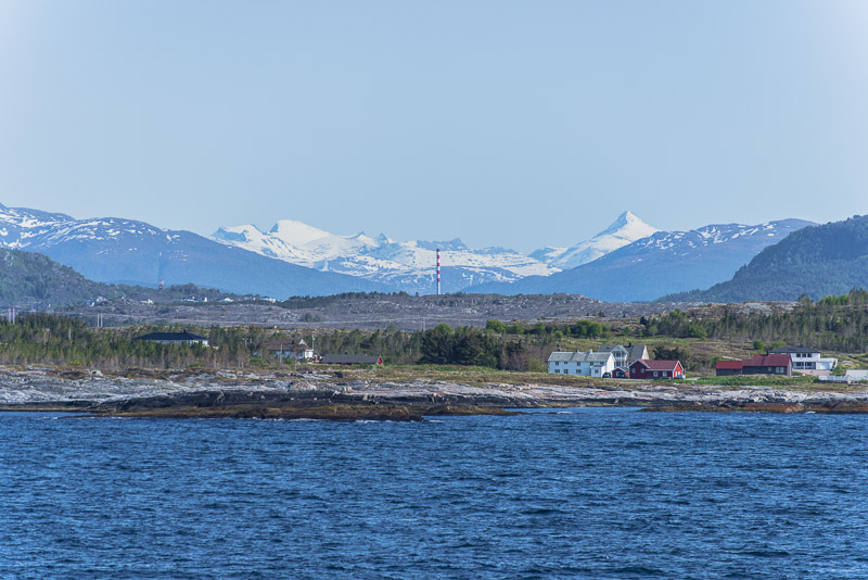
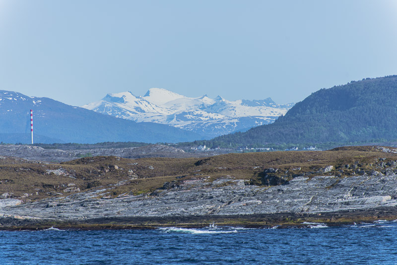
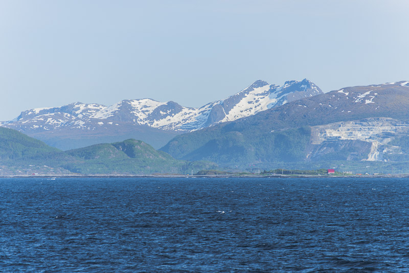
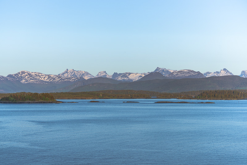
This view already goes to the Romsdal mountains (from the North).
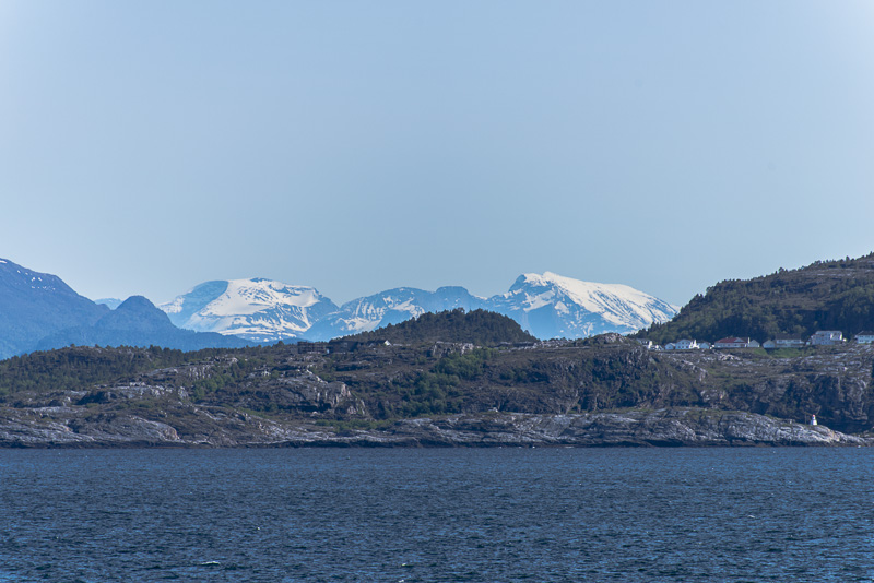
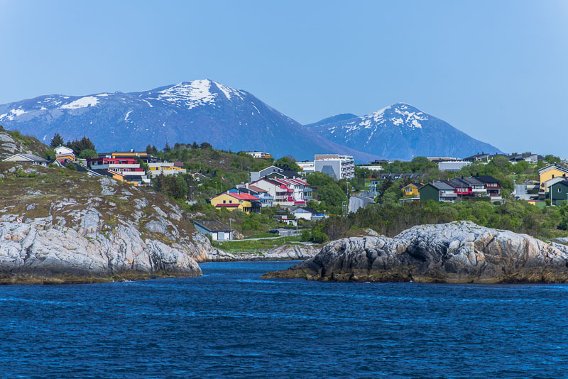
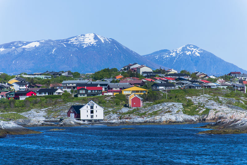
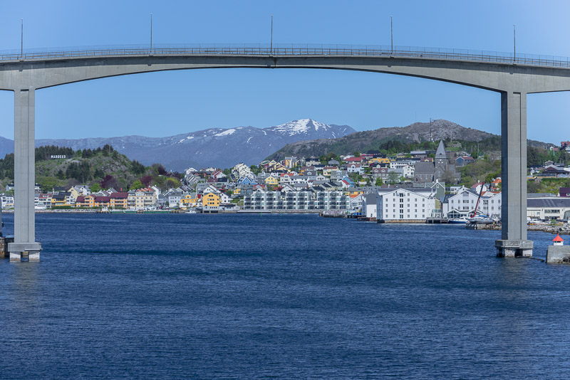
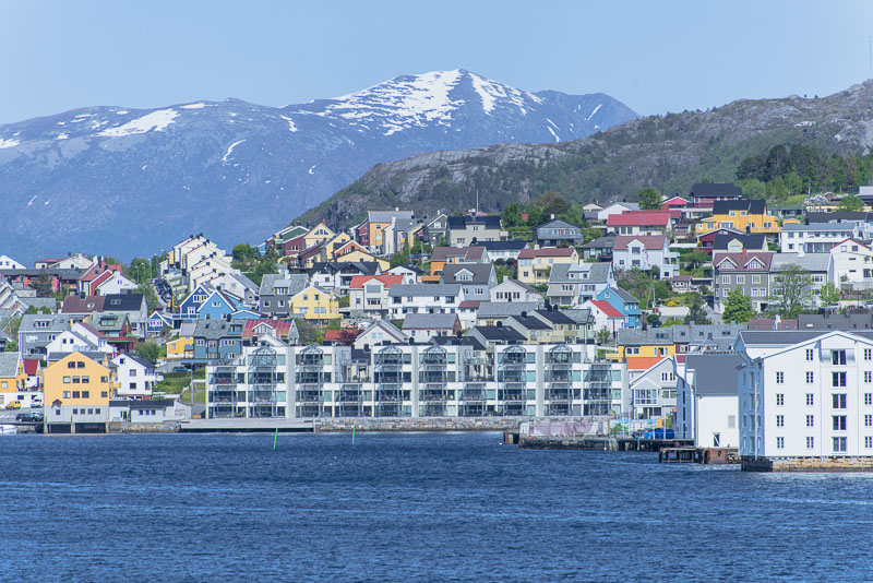
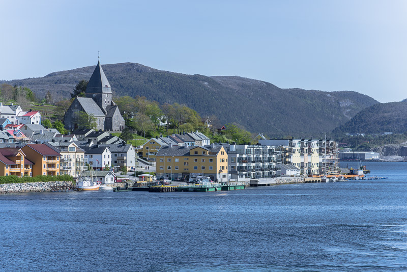
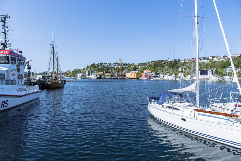
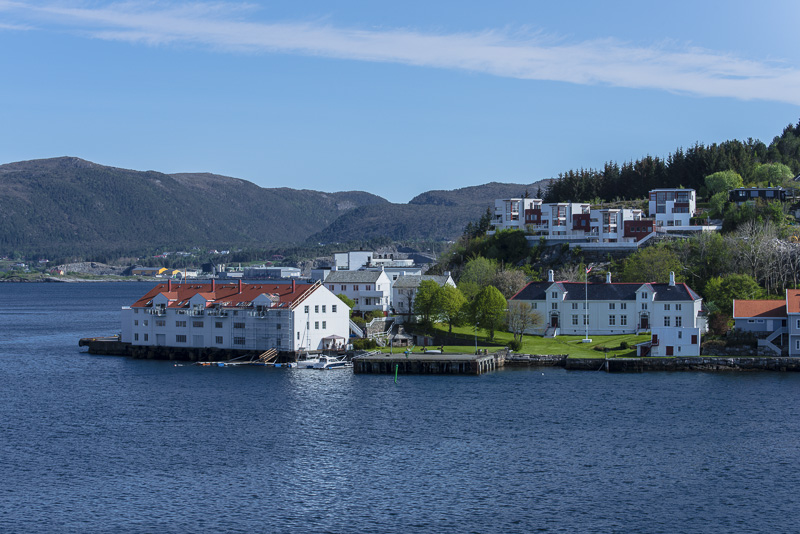
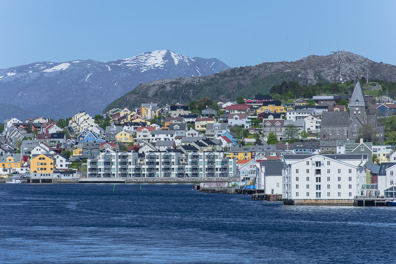
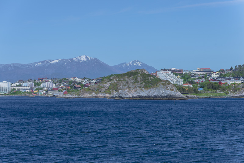
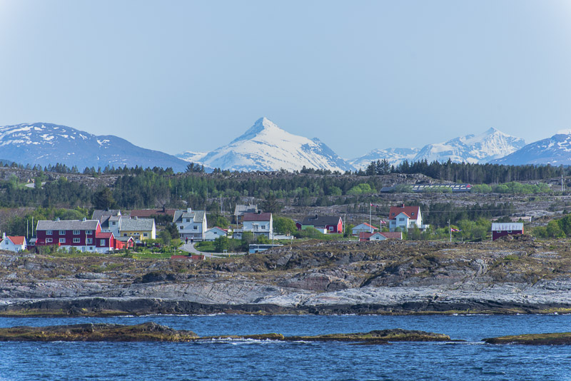
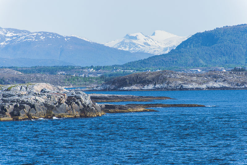
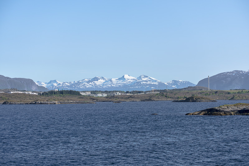
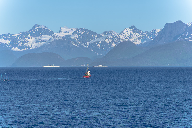
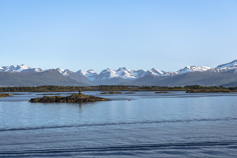
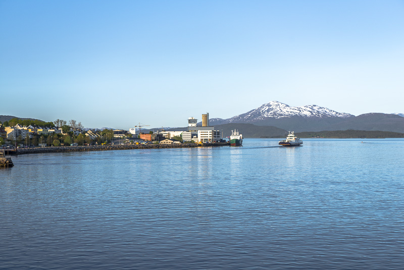
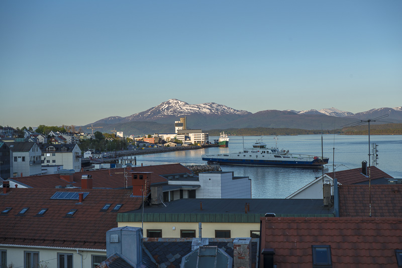
We are approaching Kristiansund.
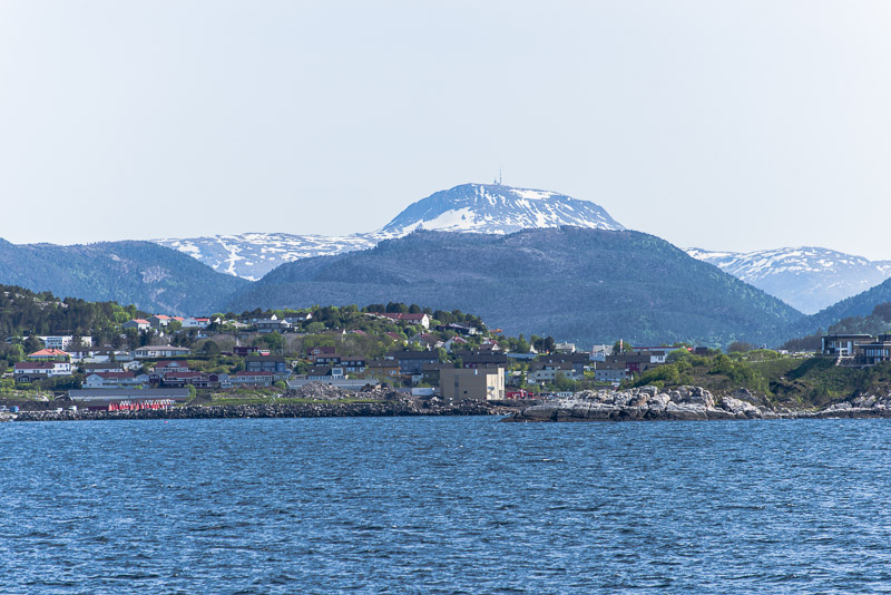
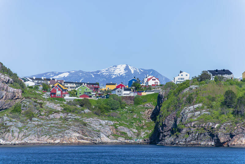
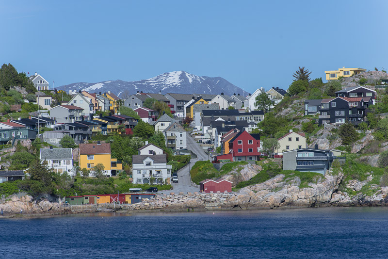
Suburbs of Kristiansund.
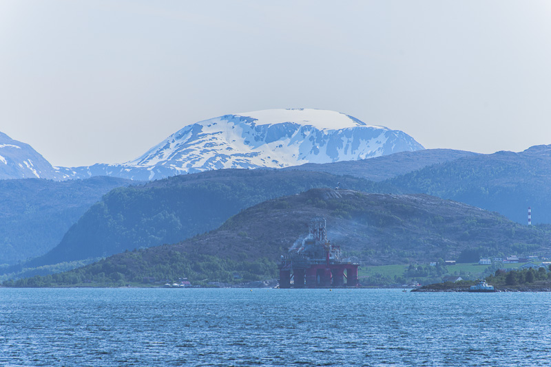
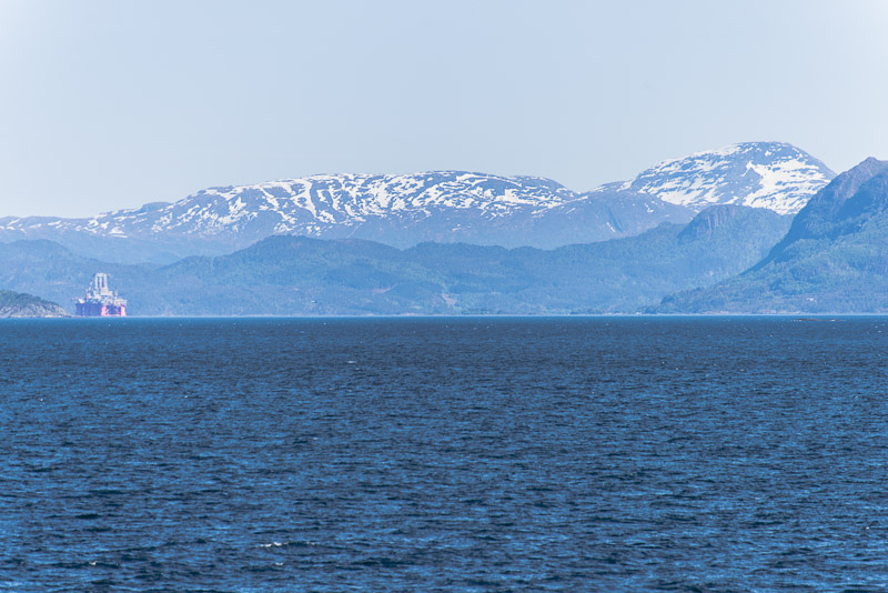
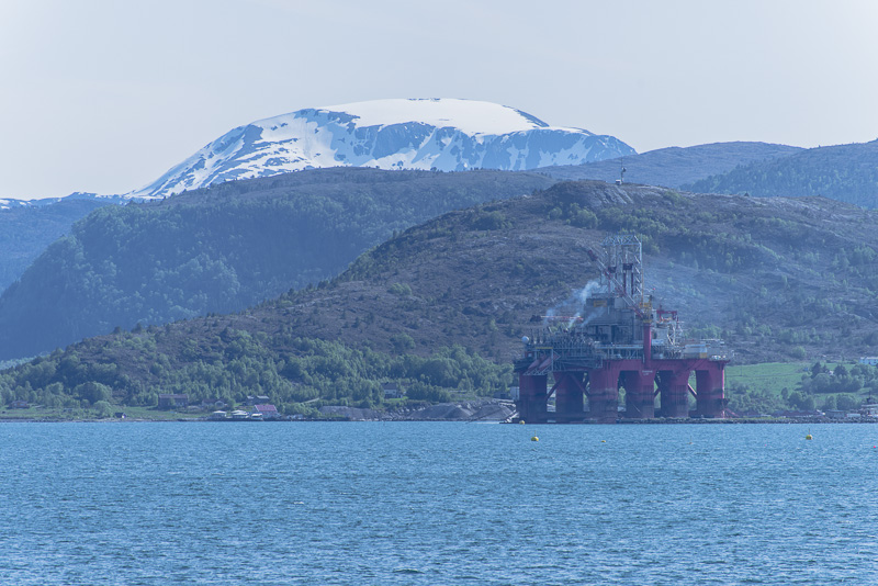
A few oil platforms
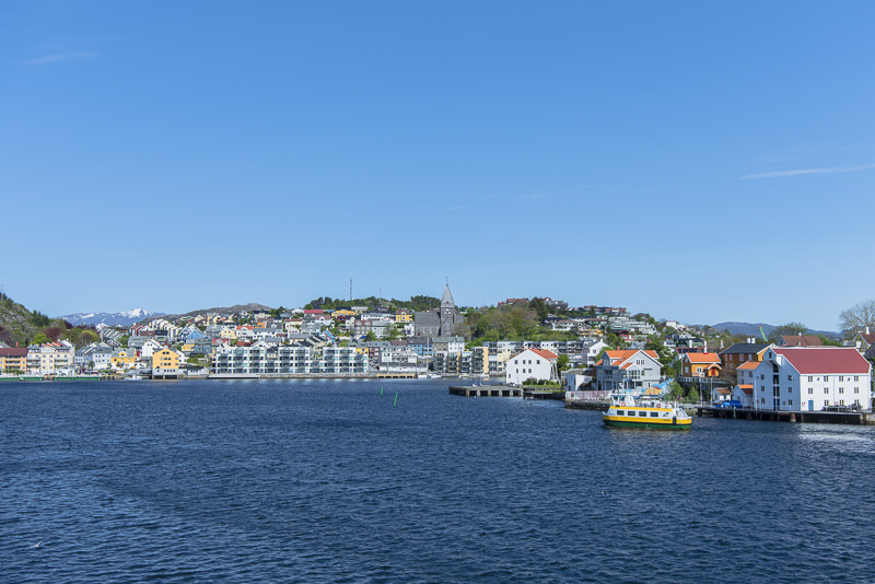
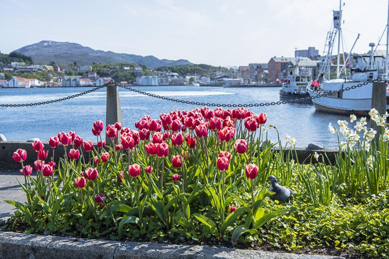
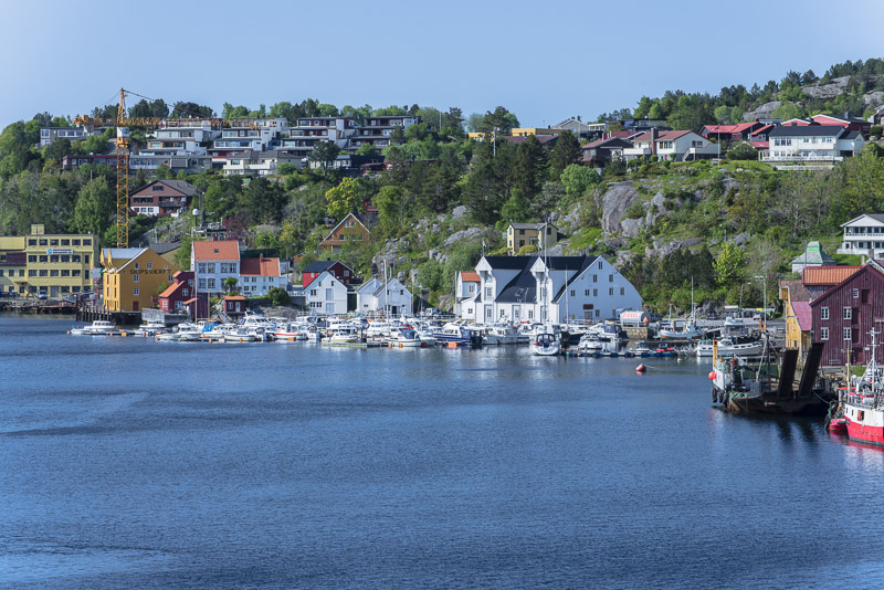
Kristiansund ...
...
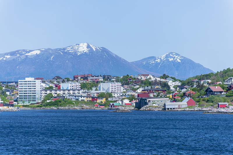
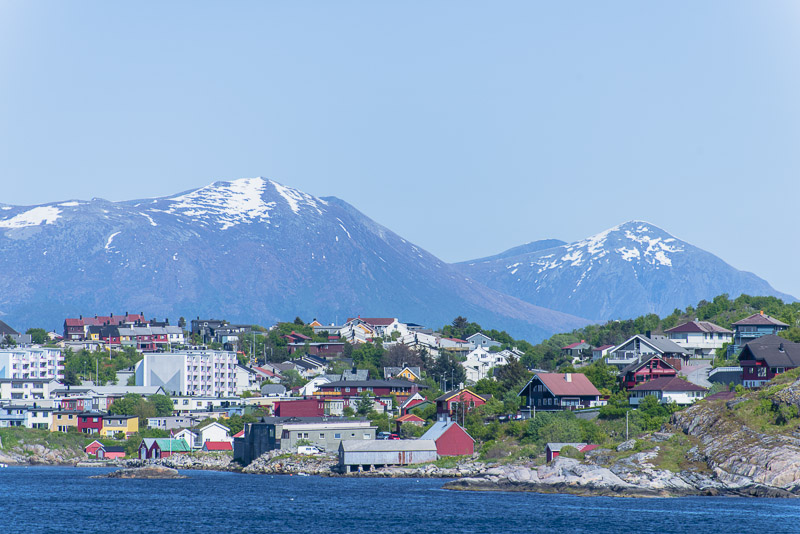
We shall soon enter the harbour of Kristiansund.
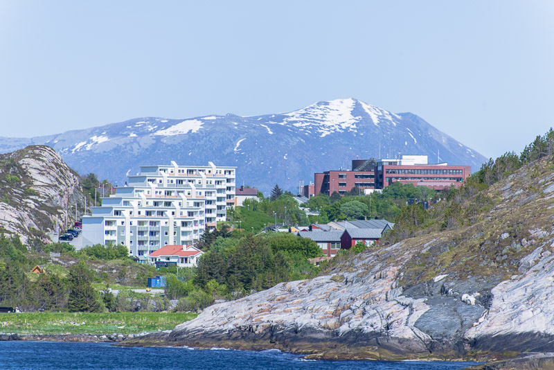
Large new housing complexes due to lots of emplyments in the ...
... oil industry
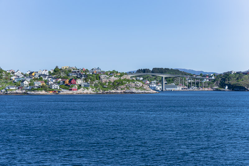
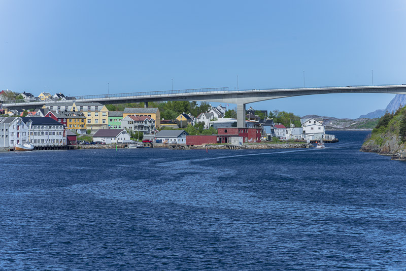
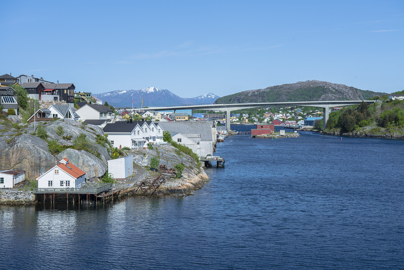
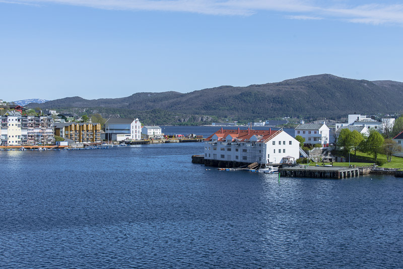
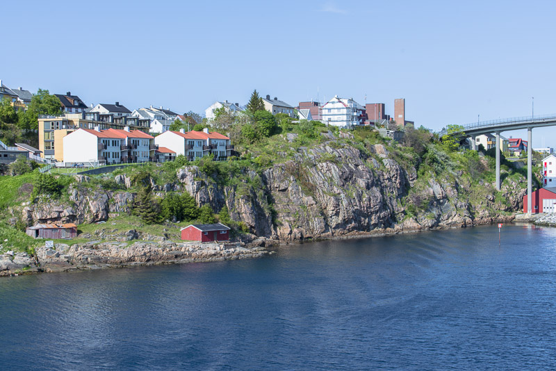
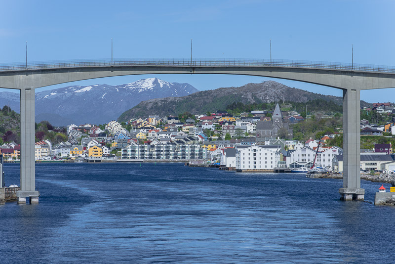
The bridge between the islands of Gomalandet (left) and Innlandet (right). Kristiansund is built on three islands all interconnected with bridges.
We soon will arrive in the harbour.
Heading for the third island, Nordlandet.
In the background the sound between Gomalandet and Nordlandet (Nordsundet), with the bridge.
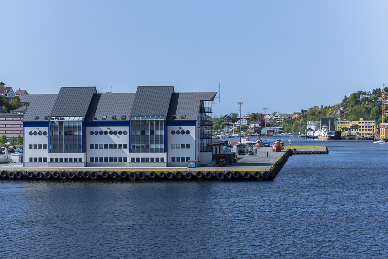
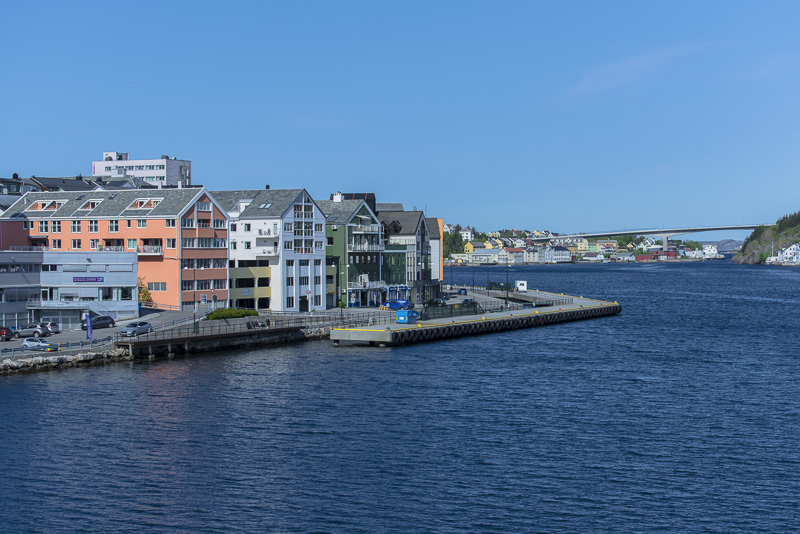
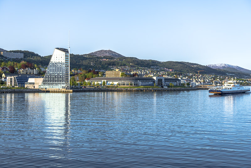
Amodern building near the pier.
I go for a 30 minutes´ land walk, ...
... climb a small hill on Nordlandet ...
... and soon return to the harbour.
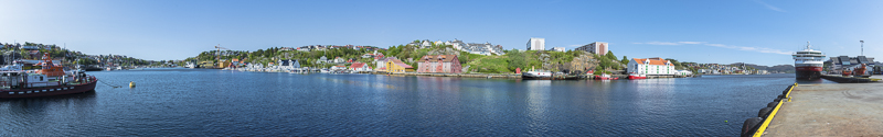
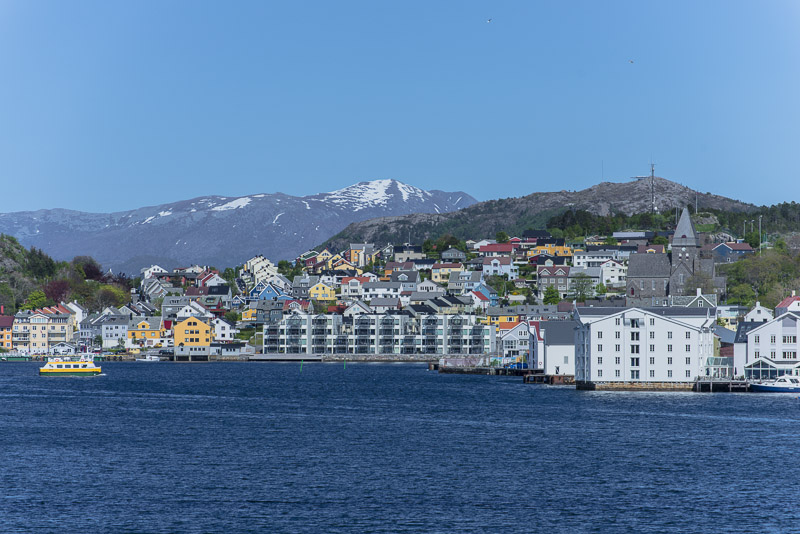
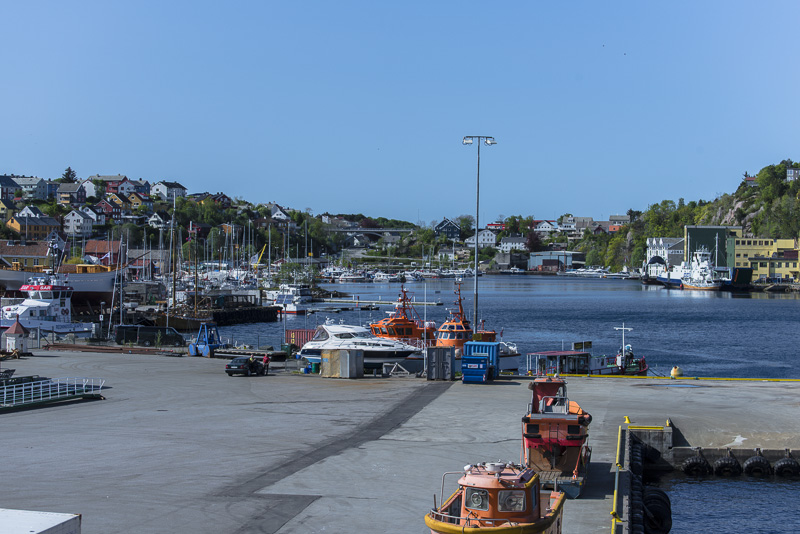
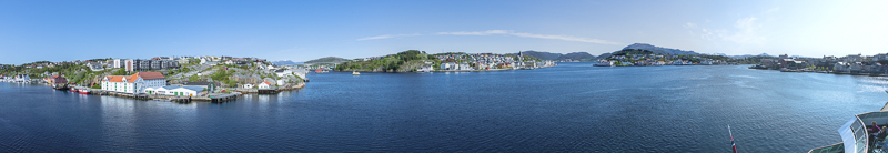
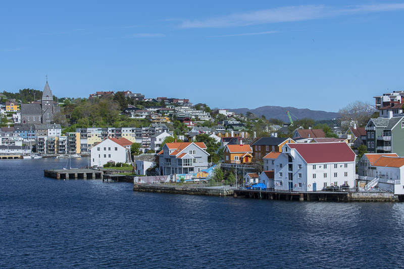
Panoramic picture of the harbour of Kristiansund, taken from the Northern end of the Holmakaia. Click here or into the picture for a larger display.
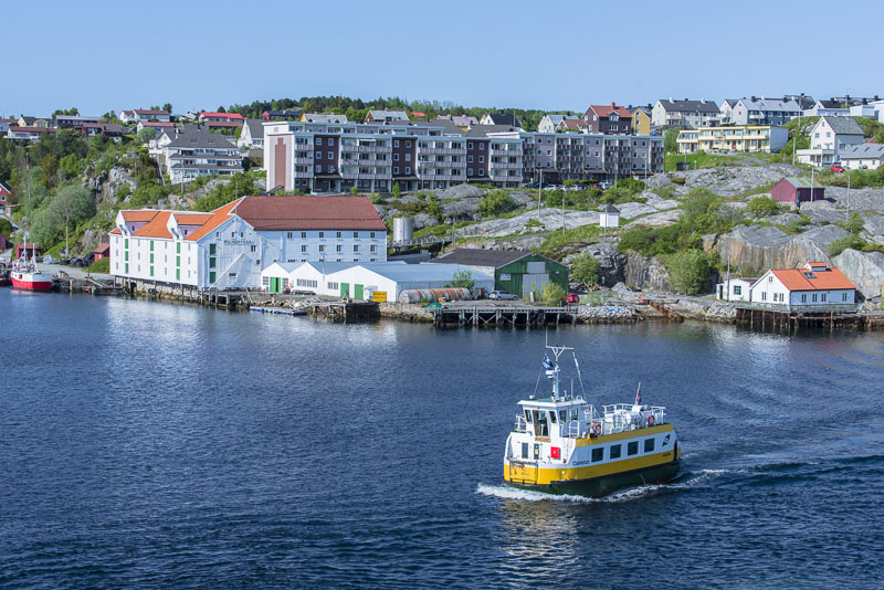
Back to the ship ...
... and on the deck, this time deck 7: there you are higher and get a much better overview.
Therefore, I take a second Panorama from the harbour of Kristiansund. Click here or into the picture for a larger display.
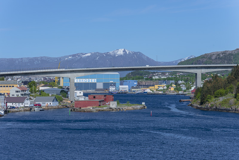
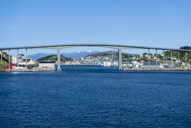
North sound bridge
We are leaving
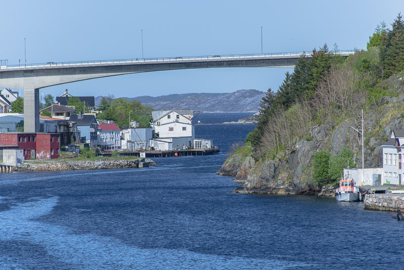
North sound bridge.
and off we sail, ...
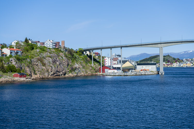
... beneath the Sør sound bridge. View back from afterdeck 7.
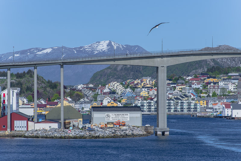
Sør sound bridge.
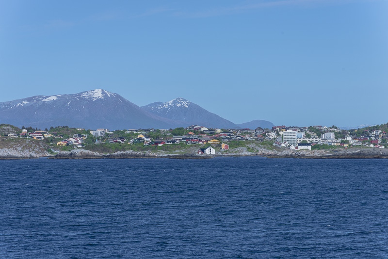
Kristiansund ...
... slowly disappears.
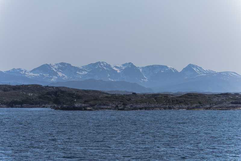
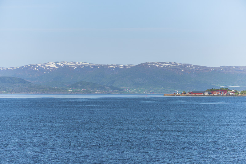
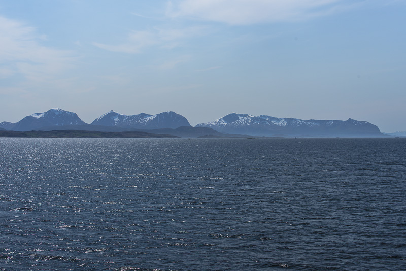
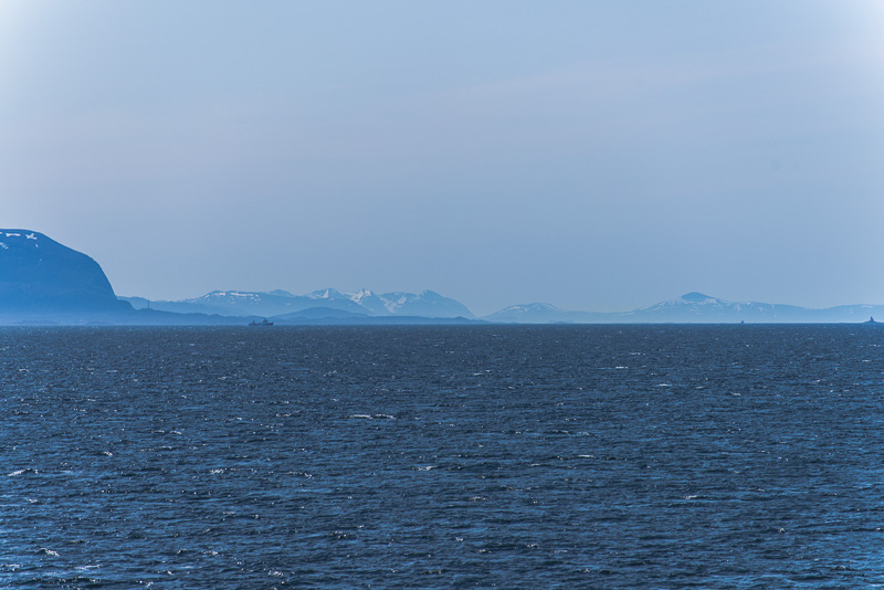
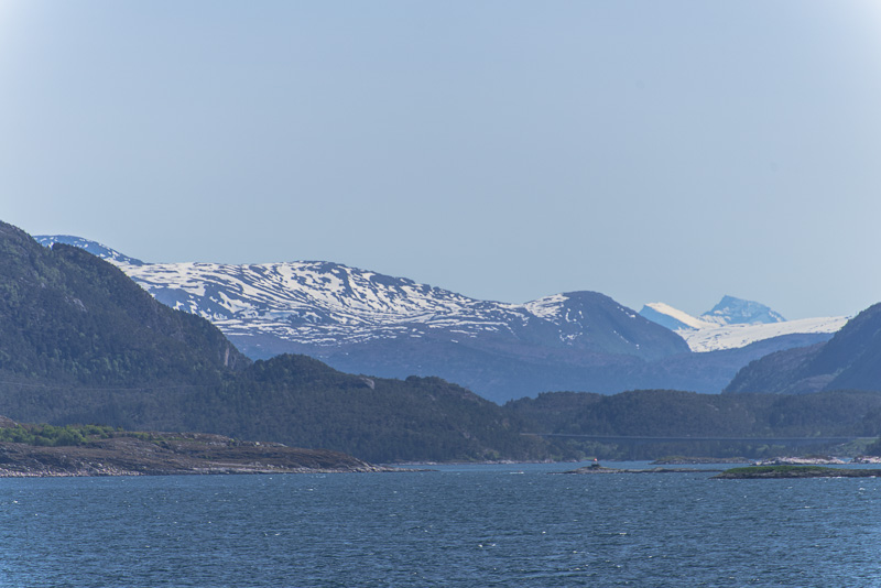
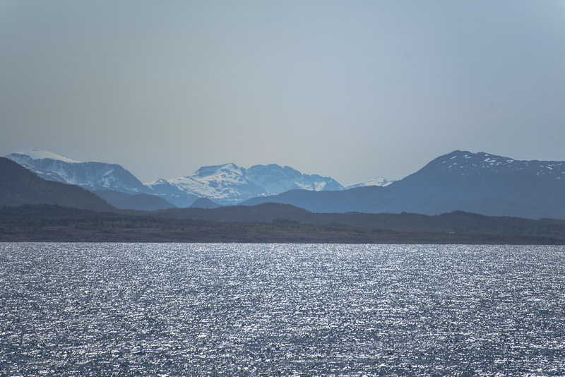
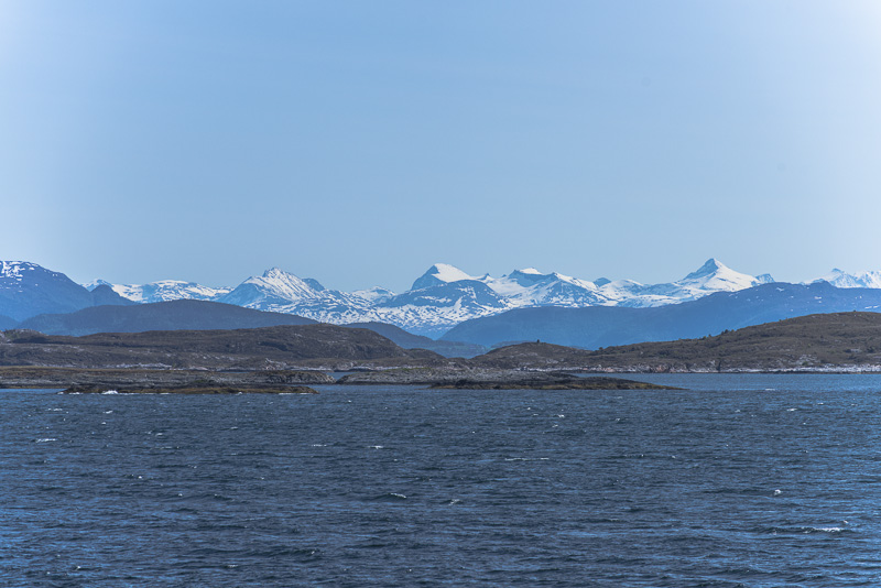
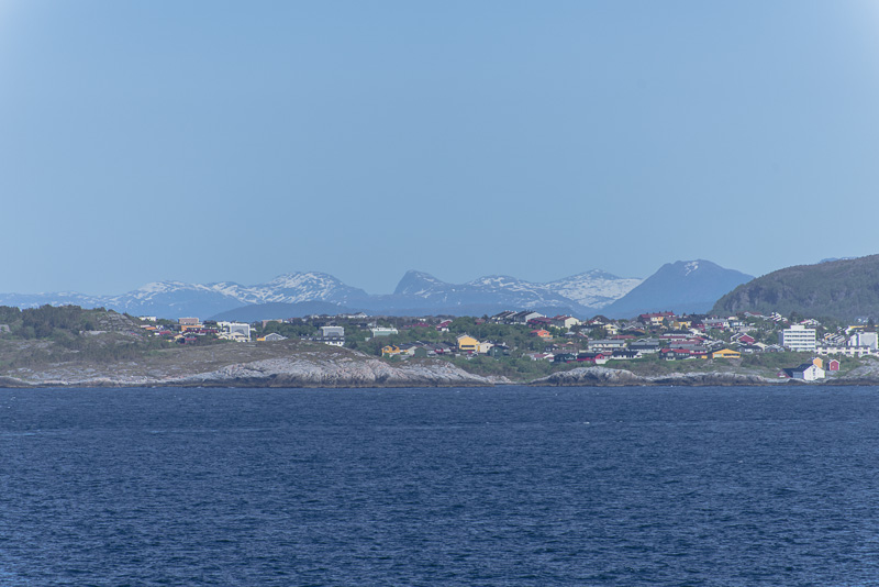
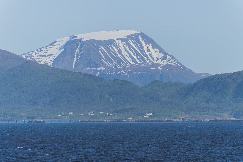
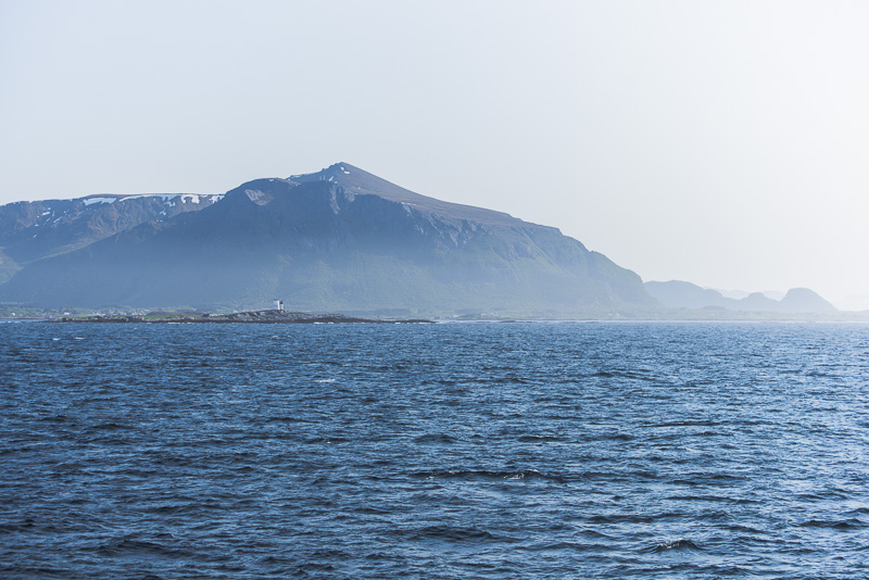
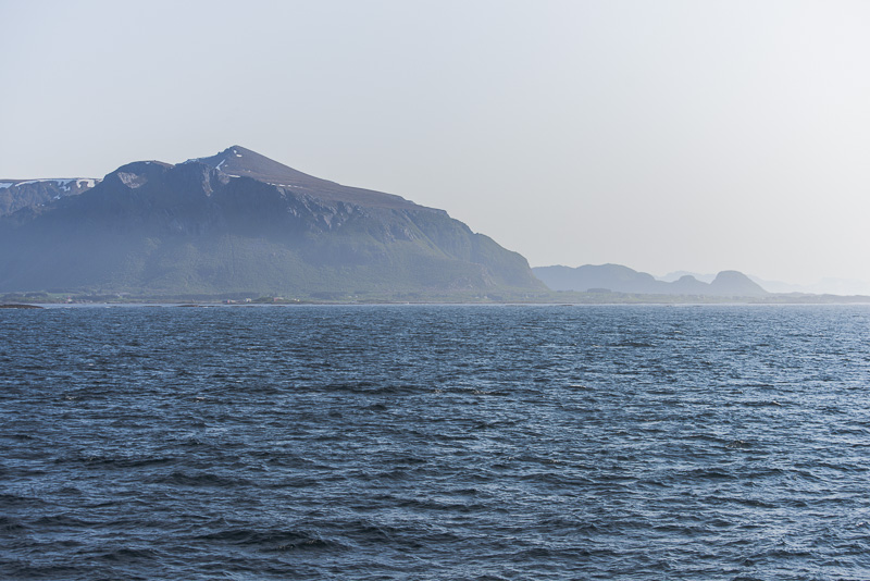
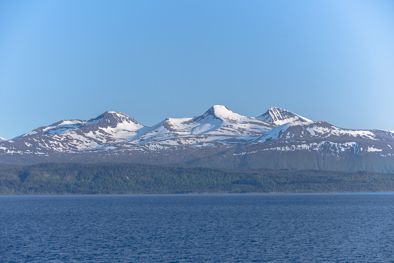
I cannot identify all these mountains.
Skerries ...
bridges ...
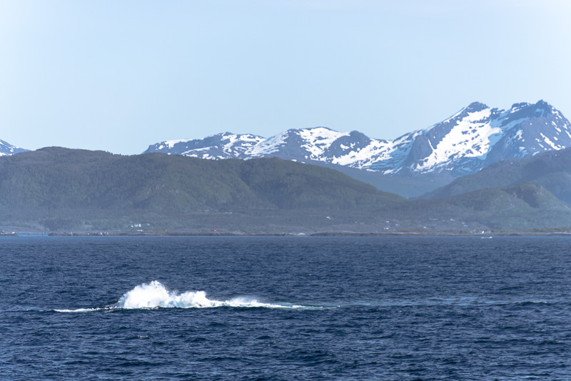
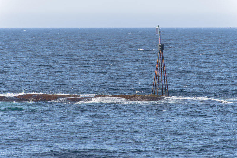
Shallows with waves breaking ...
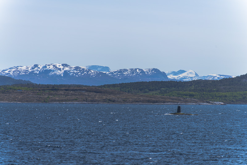
Lighthouses ...
... and mountains ...
... mountains ...
... and more mountains.
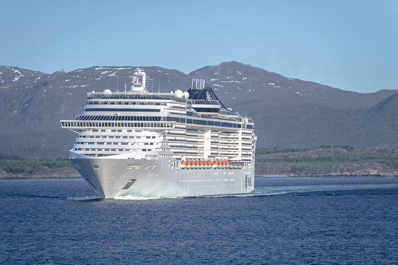
We meet the cruise ship MSC Splendida. With a length of 333,33 m and a width of 37,92 m she is nearly three times the length and douible width of the MS Nordnorge, offering space for 2.374 passengers.
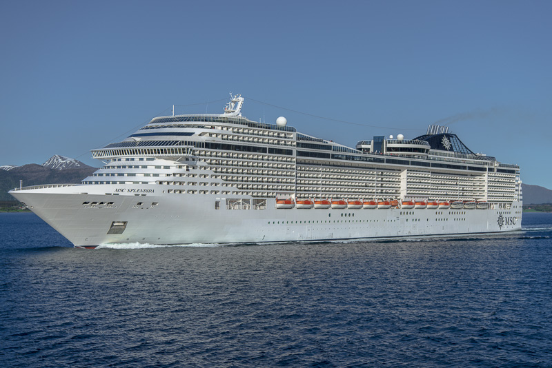
I have to pan out maximally till 24 mm to get the whole ship on the picture.
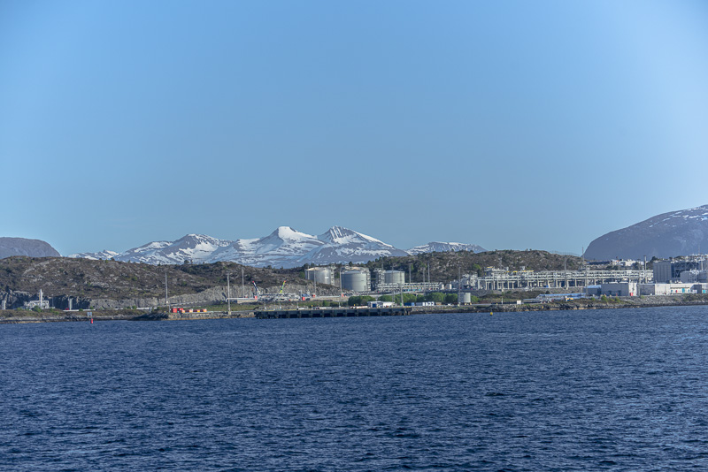
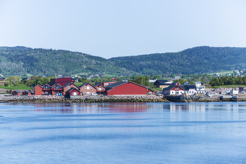
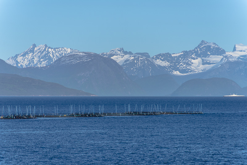
A big refinery at the entrance to the the Romsdalsfjord/Moldefjord.
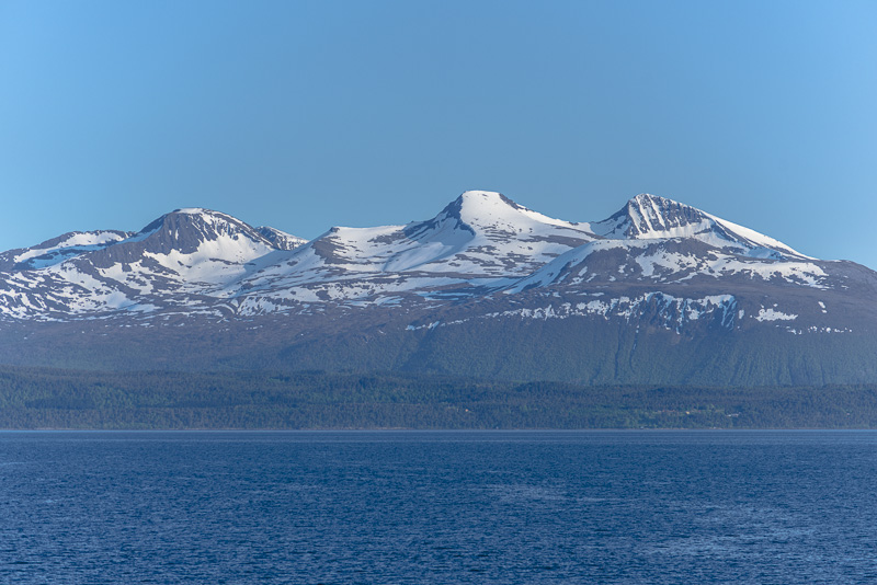
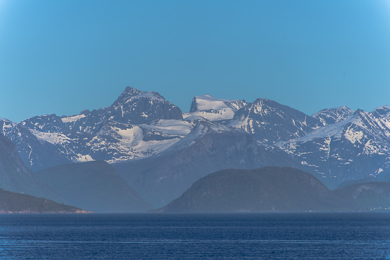
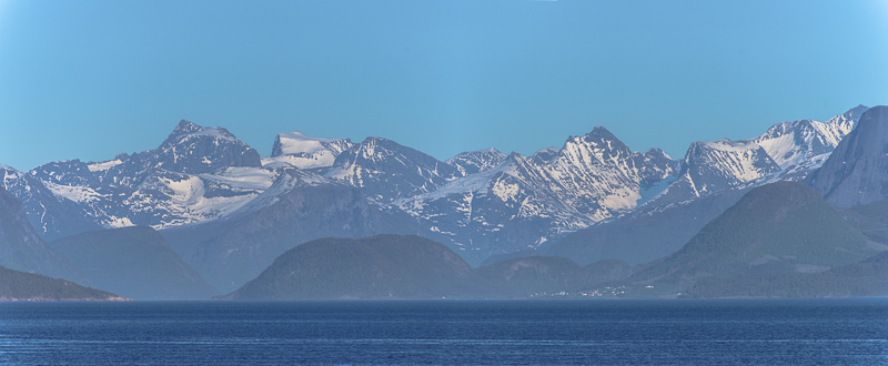
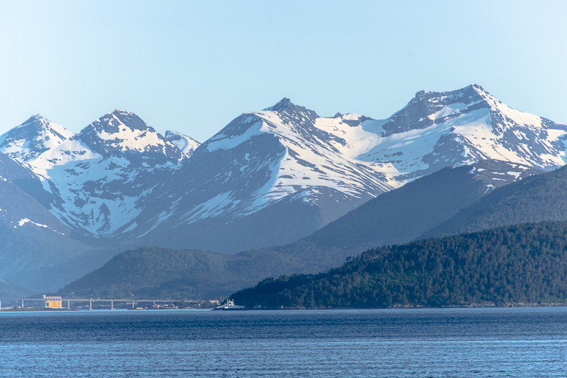
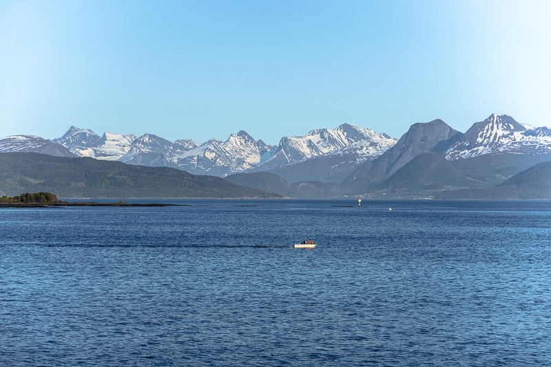
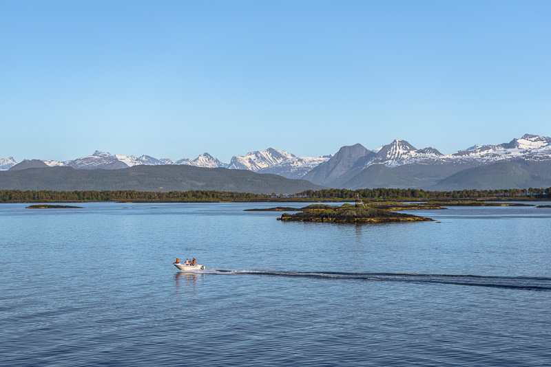
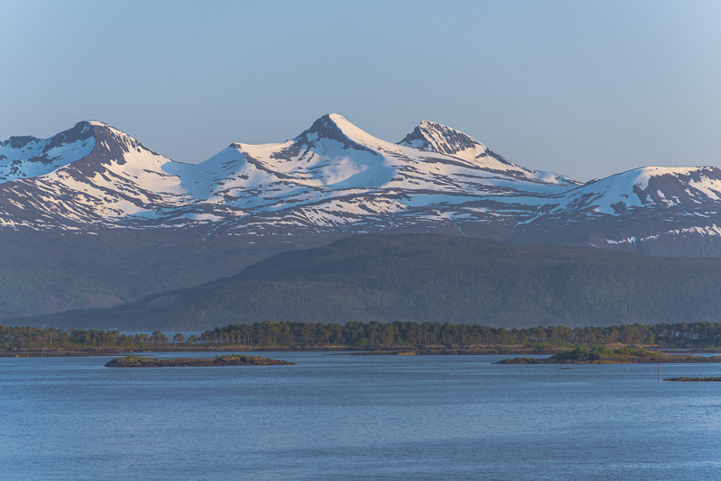
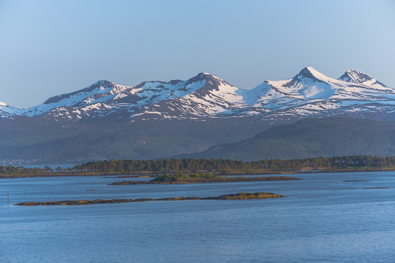
Remmemstinden (1.090 m), Ytstetinden (1.162 m) and Trolltinden (1.170 m)
We are going to bend ...
... round that corner.
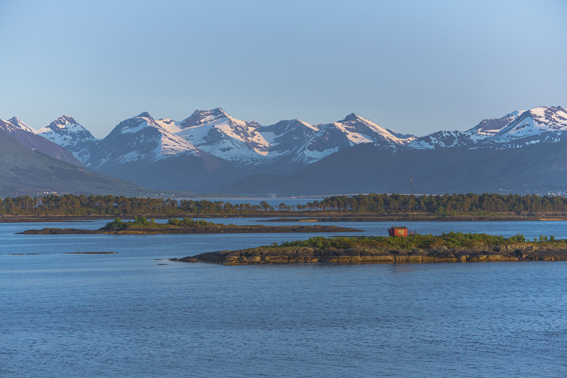
Impressive mountain ridges at the south shore of the fjord.

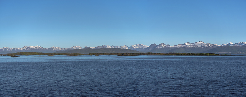
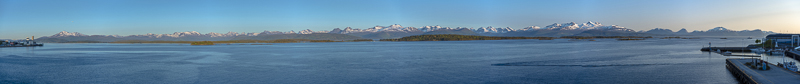
Panoramic view of the Romsdals fjord with the town of Molde. Click here or into the picture for a larger display.
Remmemstinden (1.090 m), Ytstetinden (1.162 m) and Trolltinden (1.170 m)

Another panorama of the Romsdals fjord. Far left the town of Molde. Click here or into the picture for a larger display.
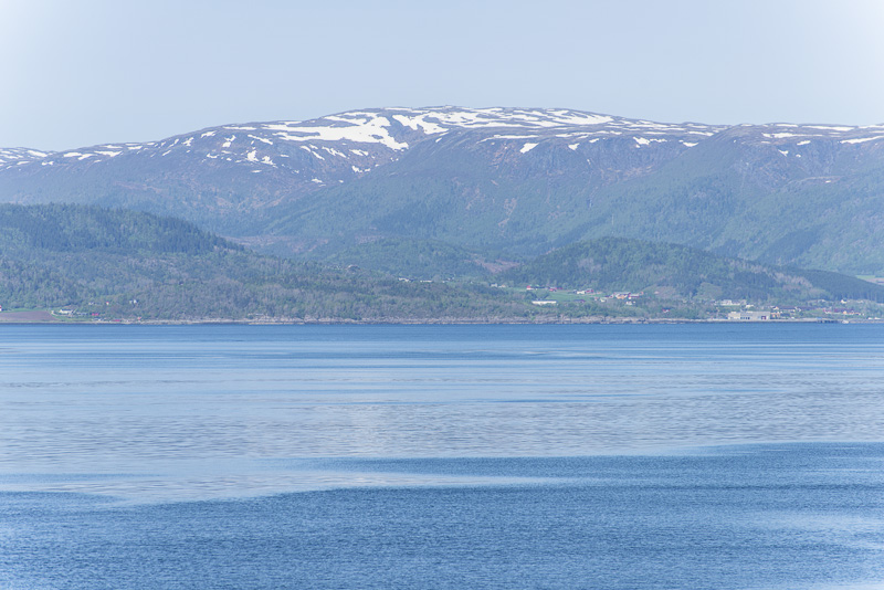
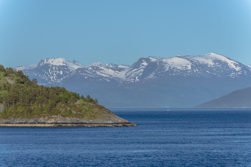
View across the Romsdals fjord. I cannot identify these mountains to the south.
We are approaching Molde.
This bridge is of help - there only is one large bridge on the opposite side of the fjord ...so behind (at the end of another fjrd branching off) there should be the mountains around the Lauparen (1.434 m).
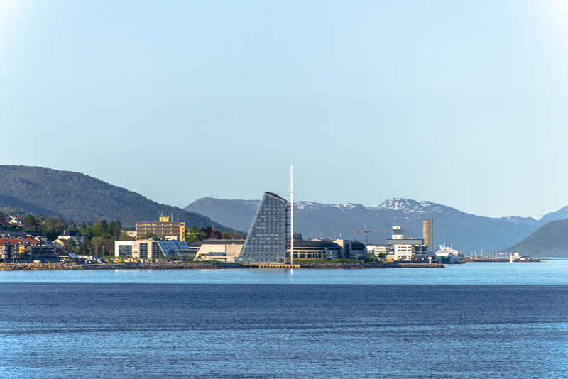
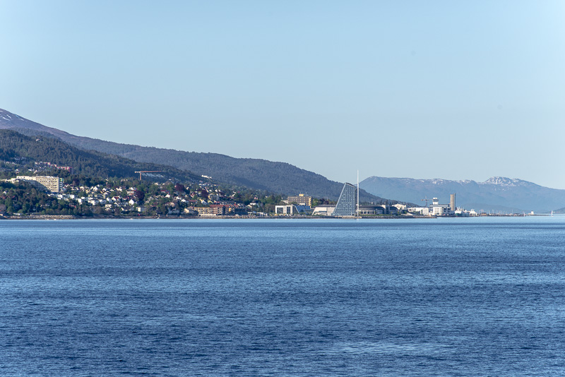
The Scandic Seilet Hotel in Molde has a´n exciting architecture - like the sail of a boat.
Another smaller panorama, taken from the ship shortly before arriving in Molde. Click here or into the picture for a larger display.
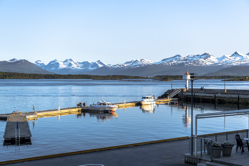
Skerries ans small motor boats near the harbour.
Molde ...
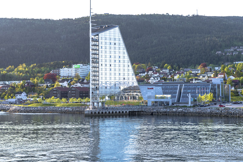
... with the Scandic Rica Seilet Hotel.
We soon shall arrive ...
... at the harbour of Molde.
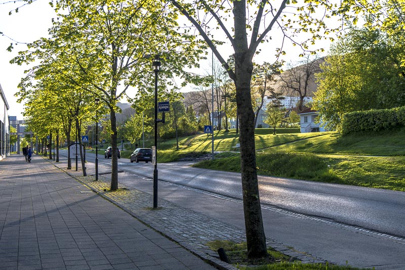
I go for a short walk ...
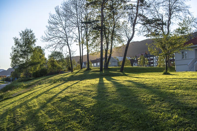
... enjoying the last sun rays.
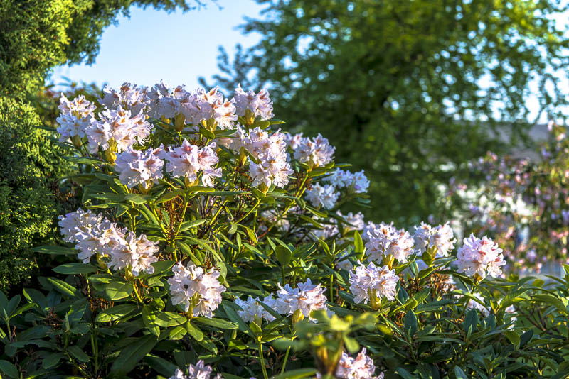
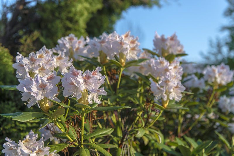
Rhododendron in the park.
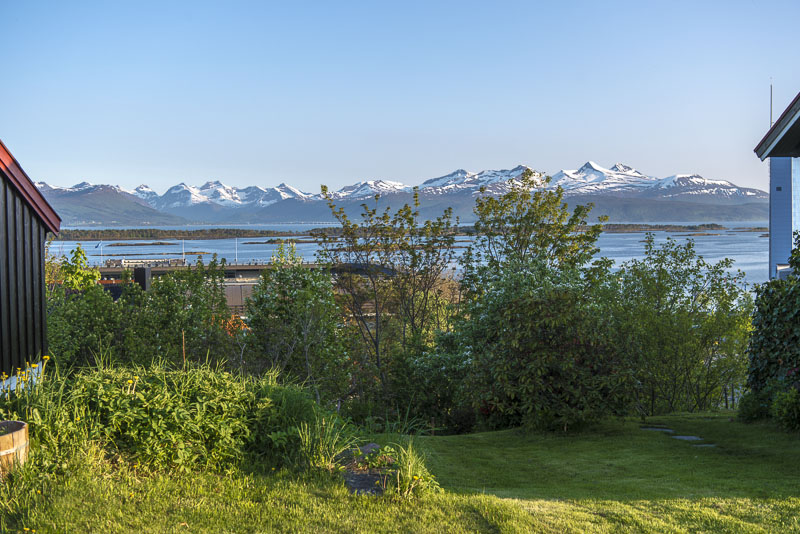
A bit up the hill, you get a gorgeous view from the houses and gardens to the Romsdal mountains.
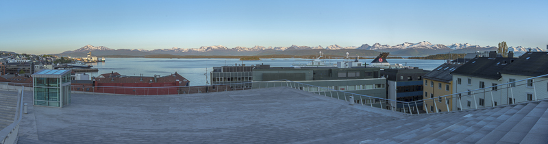
On the roof of the cultural centre of Molde. Click here or into the picture for a larger display.
View over the harbour to the summti of Skåla (1.128 m)
Panoramic picture of the Romsdals fjord, taken from deck 7 of the MS Nordnorge. Click here or into the picture for a larger display.
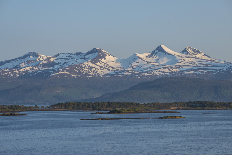
Remmemstinden (1.090 m), Ytstetinden (1.162 m) und Trolltinden (1.170 m)
Panoramic picture of the Romsdals fjord, taken from deck 7 of the MS Nordnorge. Click here or into the picture for a larger display.
Departure in due course.
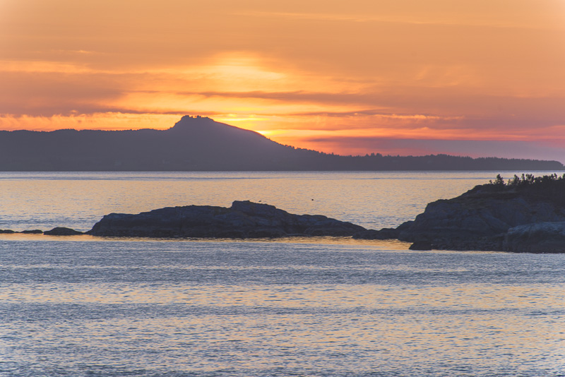
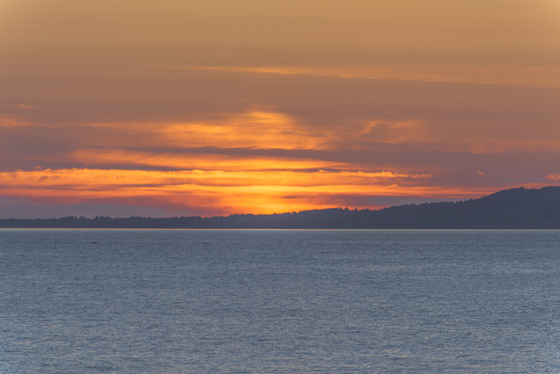
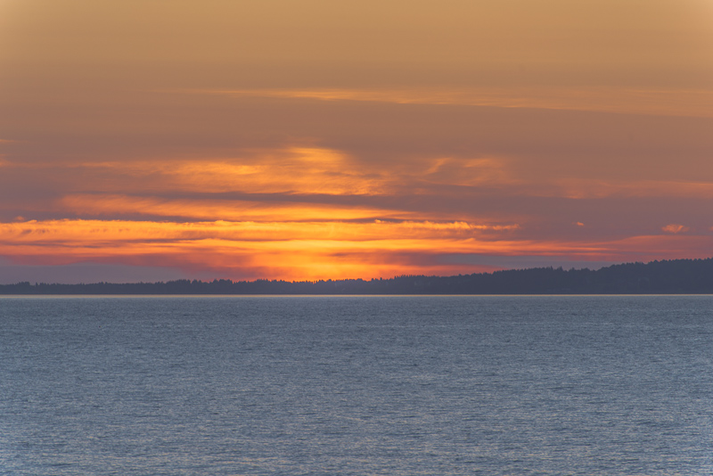
Fading evening light ...
Last evening sun on Remmemstinden (1.090 m), Ytstetinden (1.162 m) and Trolltinden (1.170 m), while we are sailing.
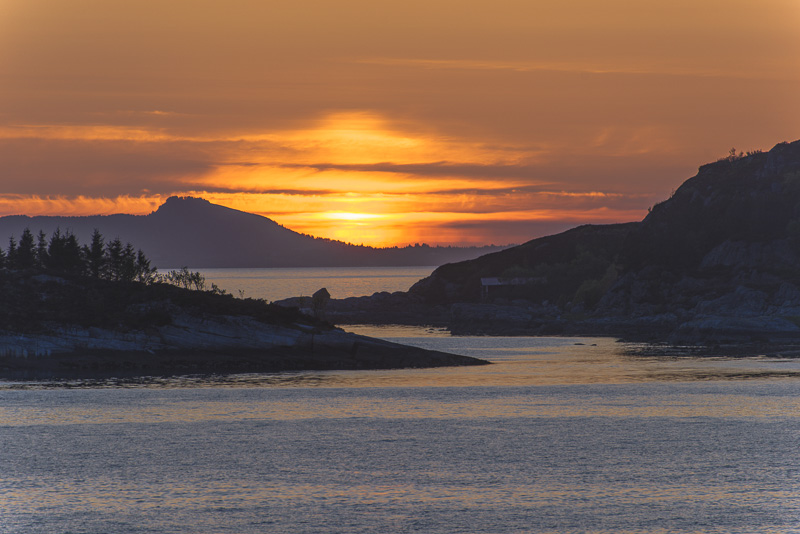
Sunset on our way through the Midfjorden to the west, to finally bend to southwest and south heading for Ålesund, which we will reach at 0:30 - we are fast asleep at that time.