21.5.2016: (Øksfjord - Hammerfest) - Havøysund - Honningsvag - Kjøllefjord - Mehamn - Berlevag - (Batsfjord)
Today, I treat myself with a longer sleep in the morning. The arrival at 5:15 a.m. in Hammerfest is a bit too early for me, and I hope for good weather on our way back.
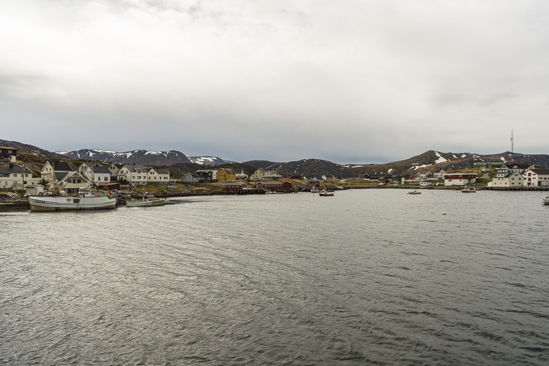
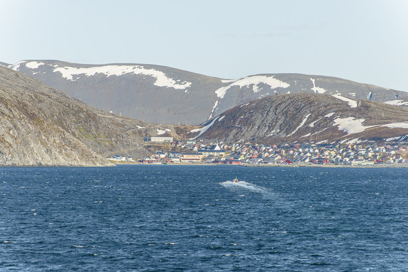
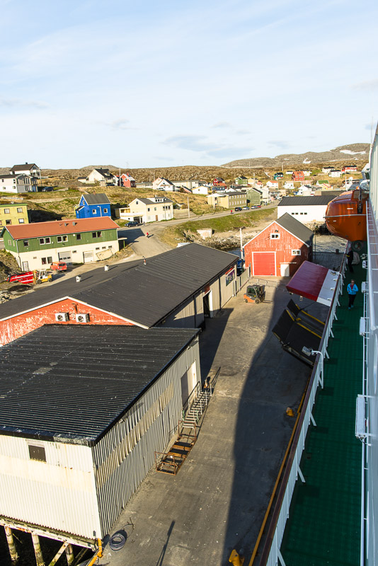
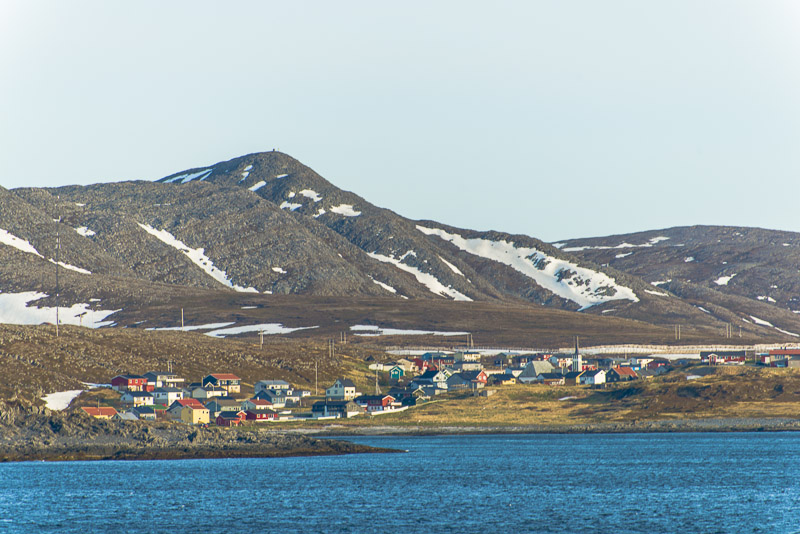
I just got up when we put on in time at 8:45 in Havøysund.
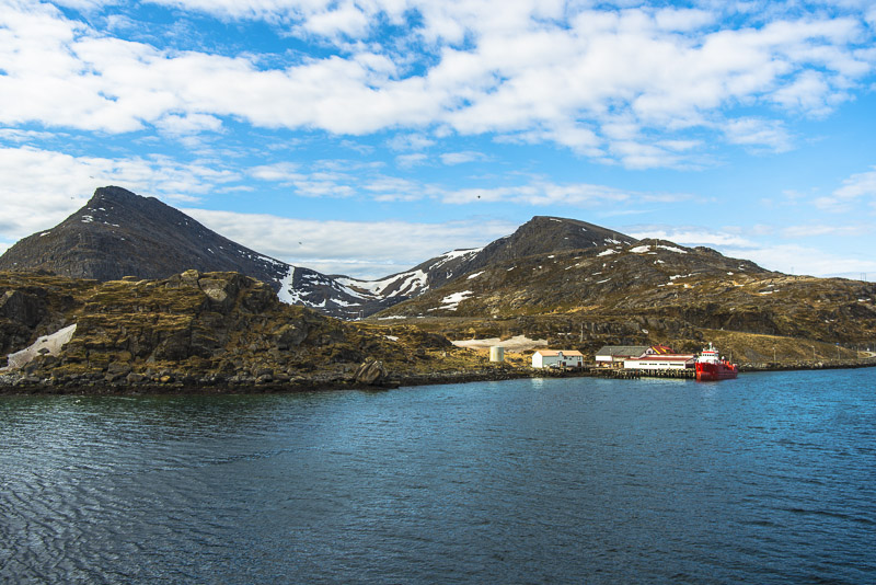
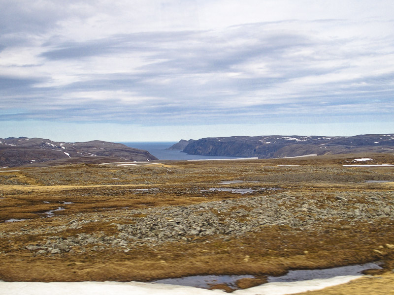
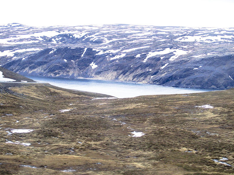
This land is completely different. Low mountains at maximum 400 m high, the vegetation is extremely scraggy, only little grass, Moss and lichens are covering the land. At last arrived in the tundra.
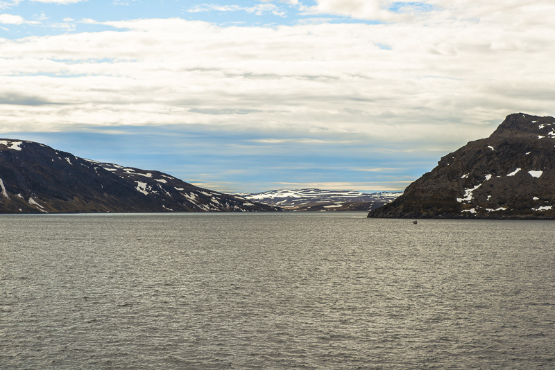
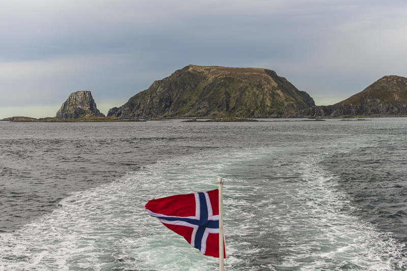
A return to the deck after breakfast at about 10 a.m. We just enter the Mågerøy sound.
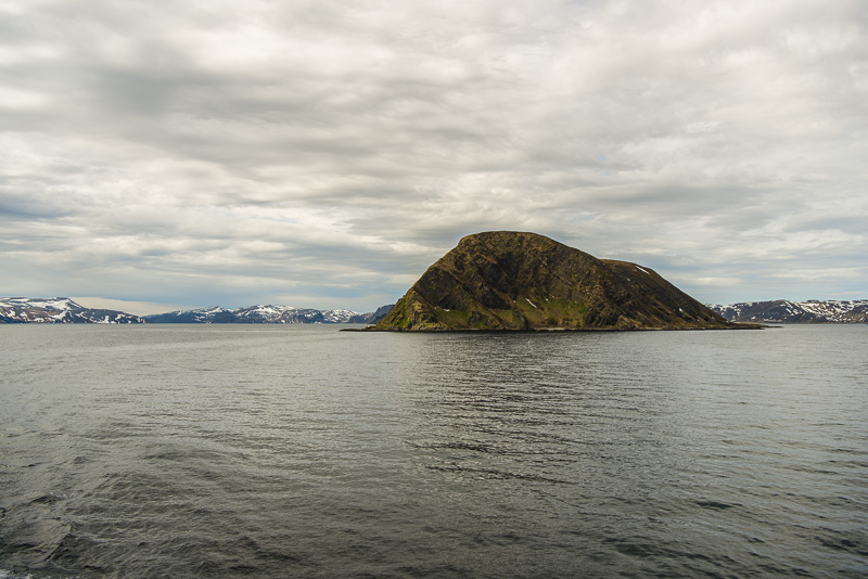
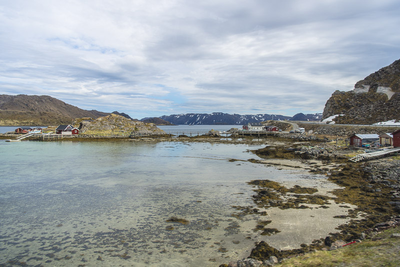
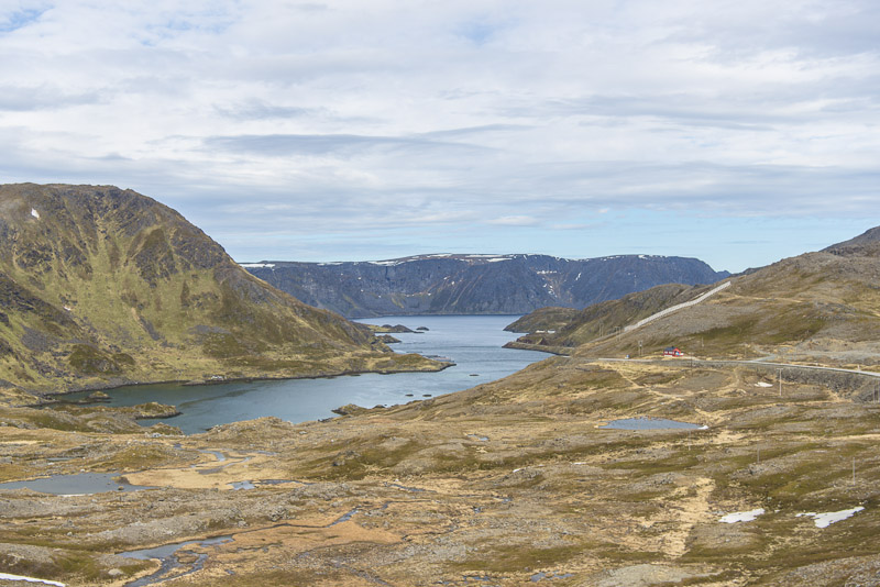
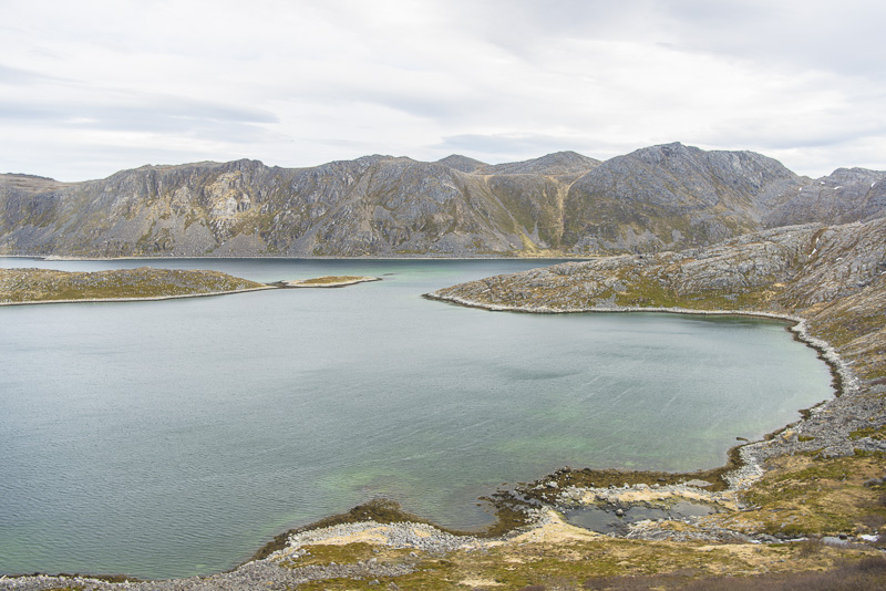
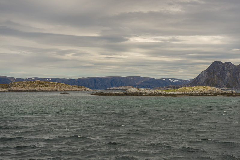
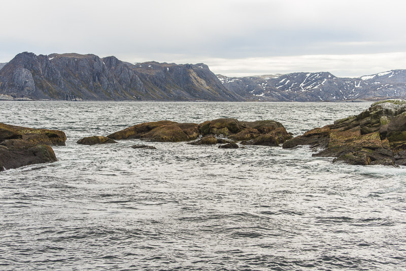
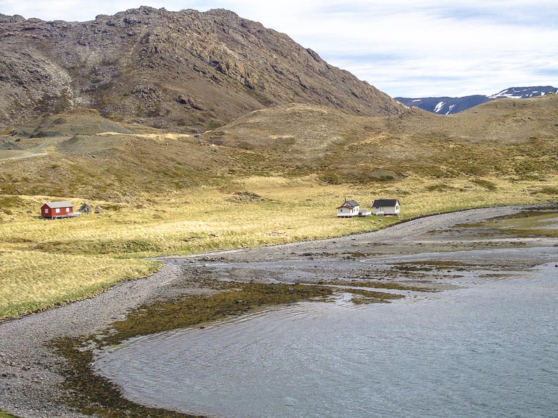
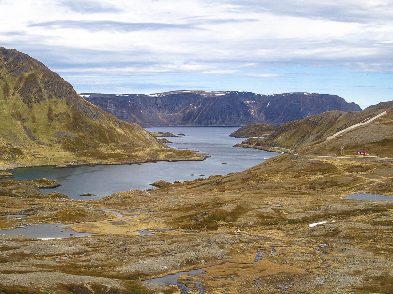
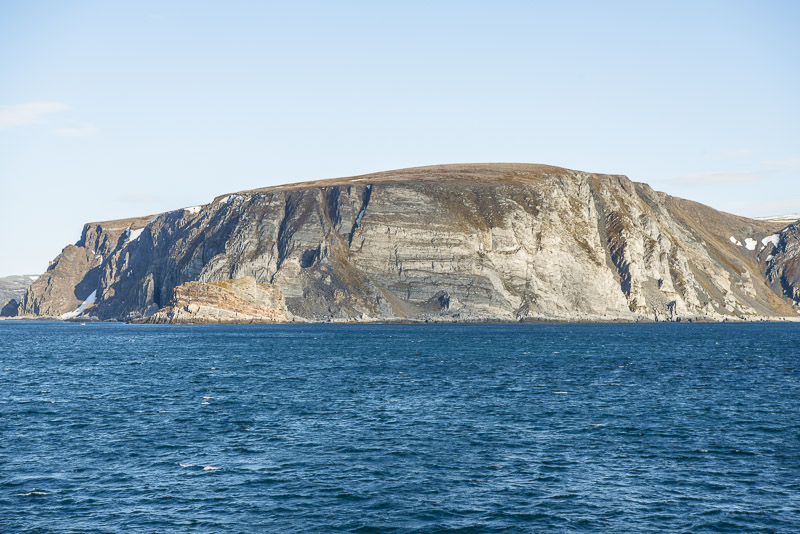
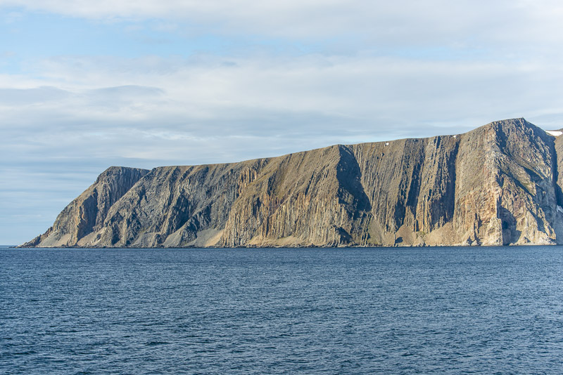
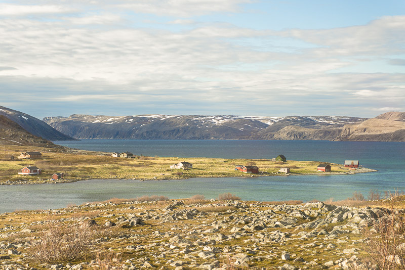
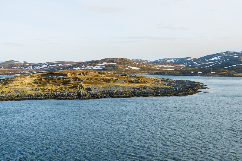
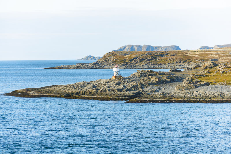
The mainland here gives the impression of a tableland, steeply escarping into the sea.
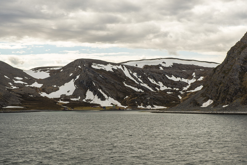
Mågerøy sound is a narrow waterway between the continent (Porsanger peninsula) and the island of Magerøya, where the North cape is situated.
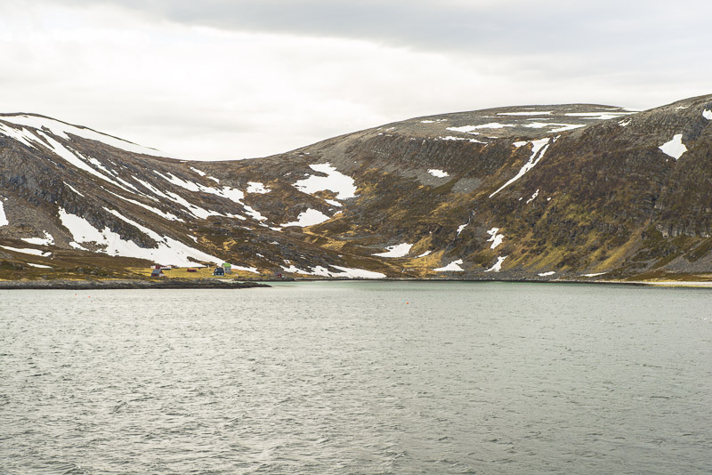
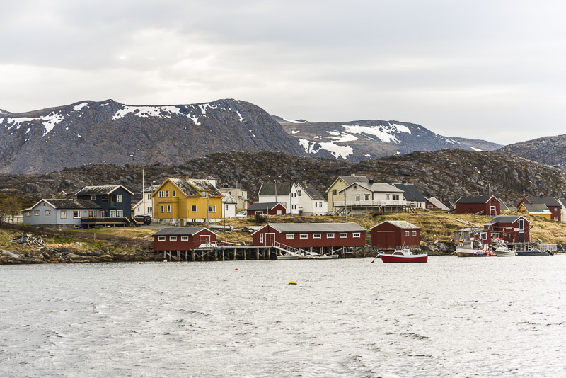
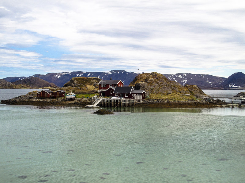
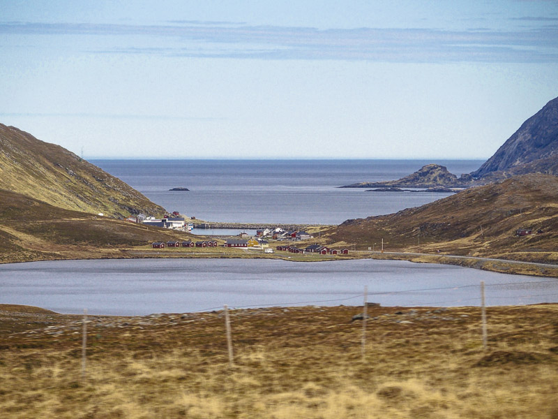
Single houses at the sea, which only can reached with a boat.
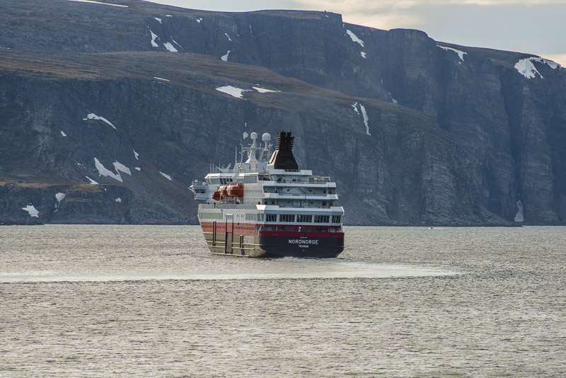
Magerøy sound
Bismarhallen. Beneath this rock, the 7 km long Tunnel goes beneath the Mageroy sound.
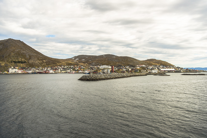
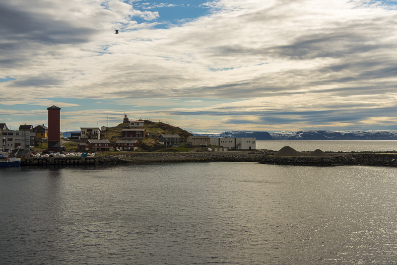
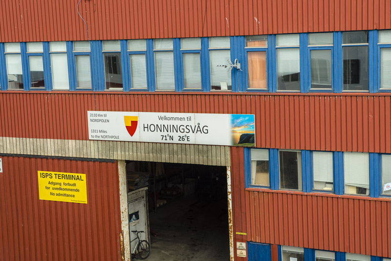
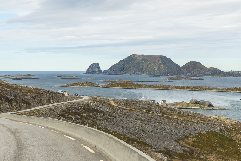
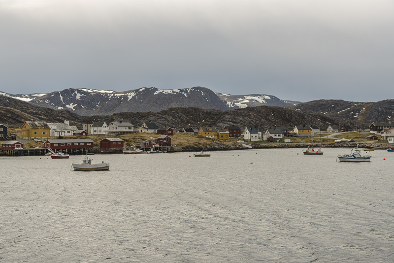
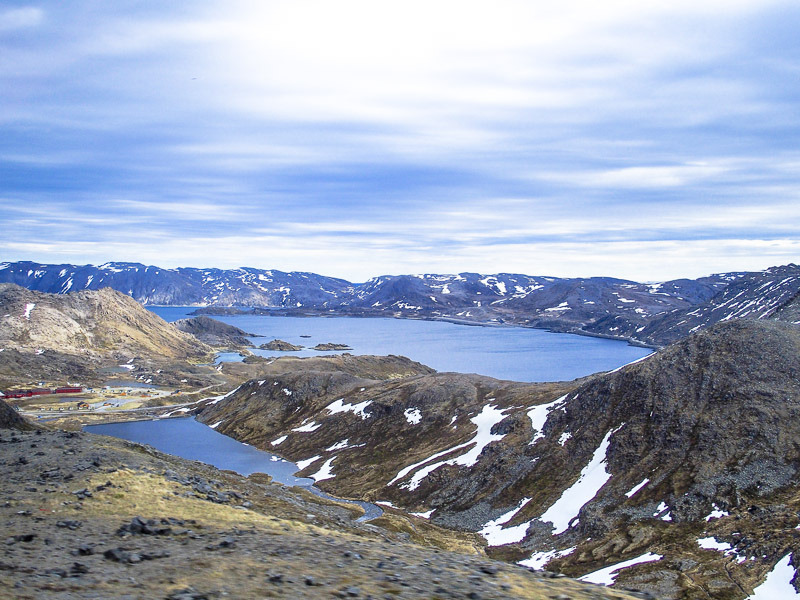
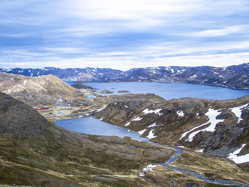
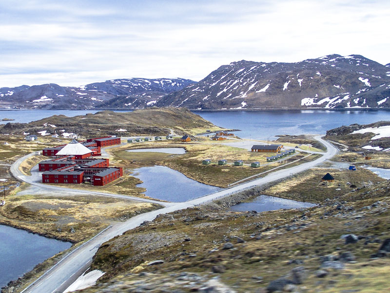
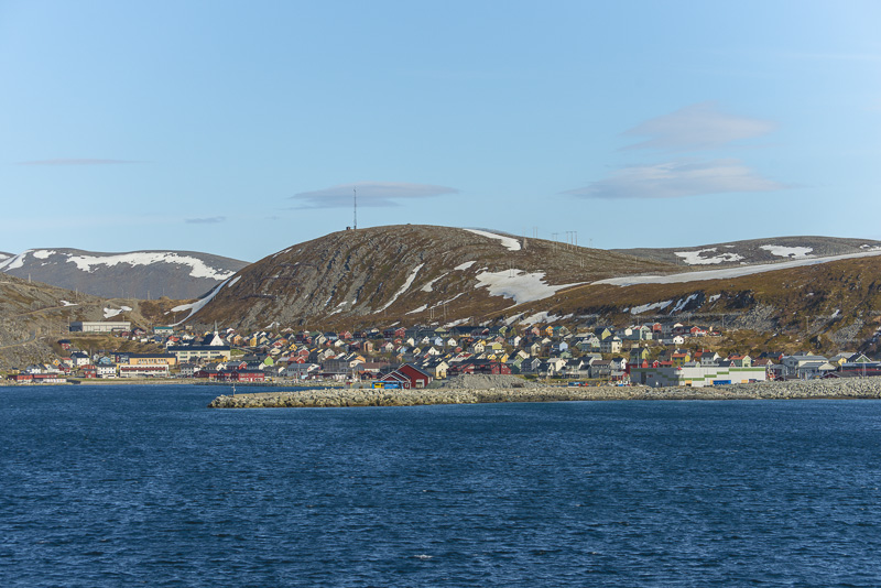
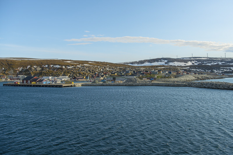
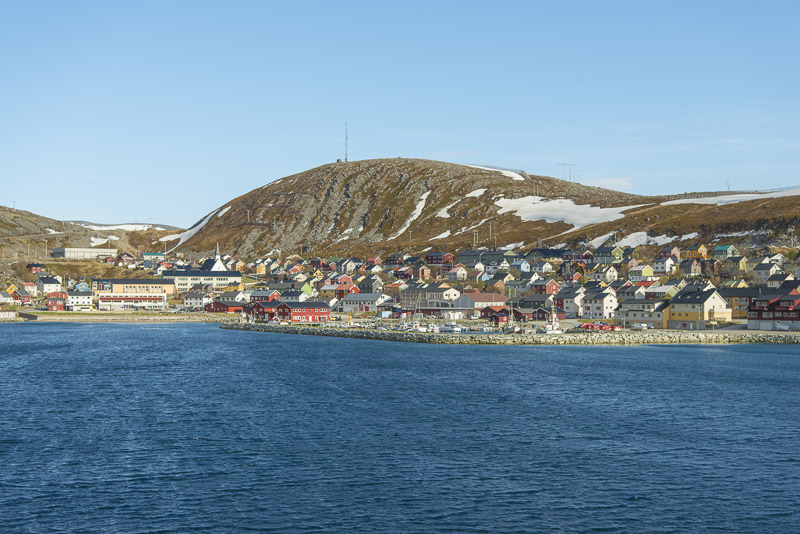
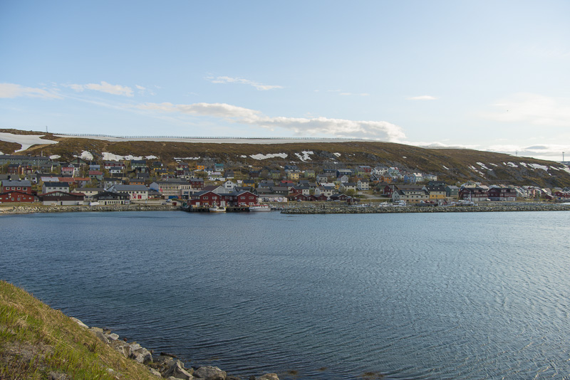
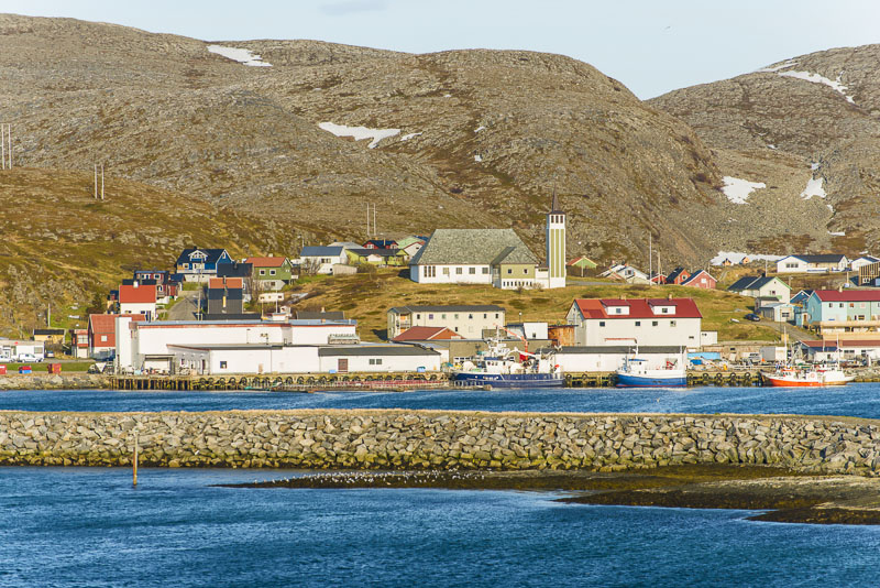
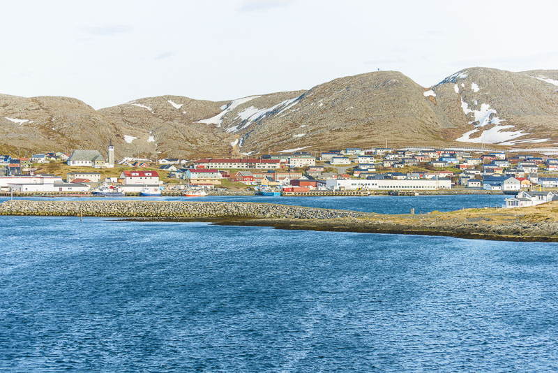
Honningsvåg
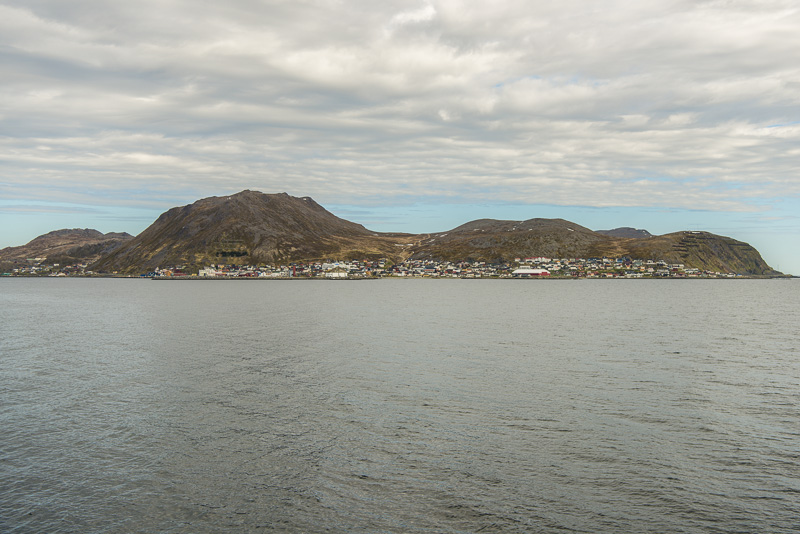
Approaching Honningsvåg
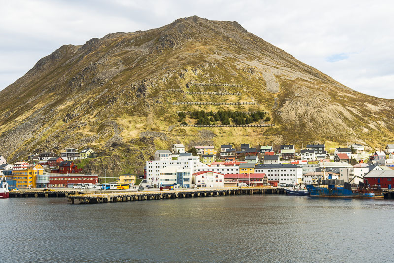
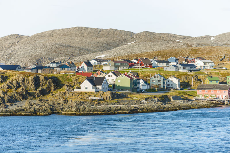
Danger of avalanches within the town - fences and a spruce tree forest should help. Will the spruces survive the rough climate?
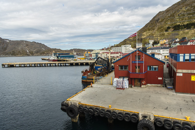
Putting on.
Rather far north here ...
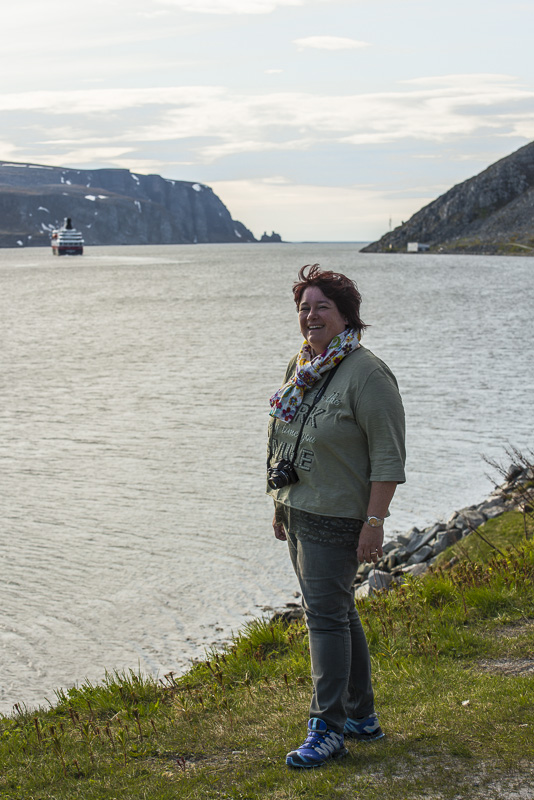
We both leave the ship now. Susi has booked the bus tour to the North cape, and I enter the bus to the small fishing vilages of Gjesvær, for a boat trip around the bird island of Storstappen.
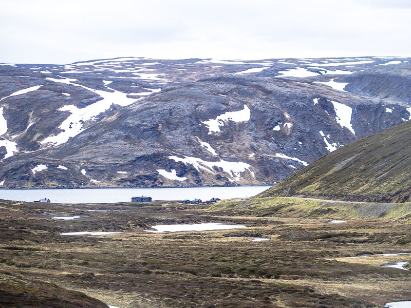
Driving along the Skipsfjord.
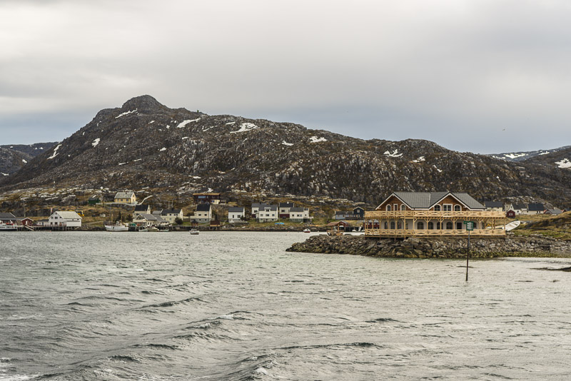
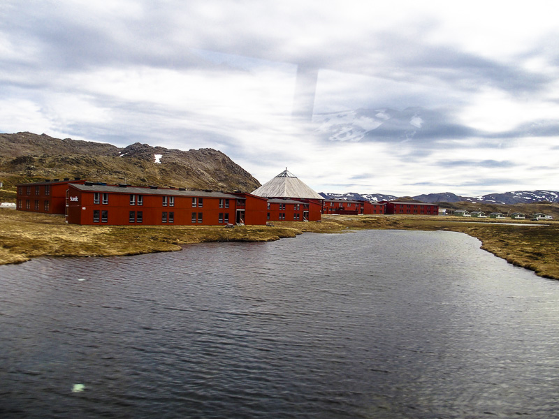
A recently built hotel.
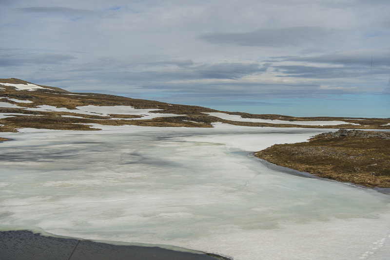
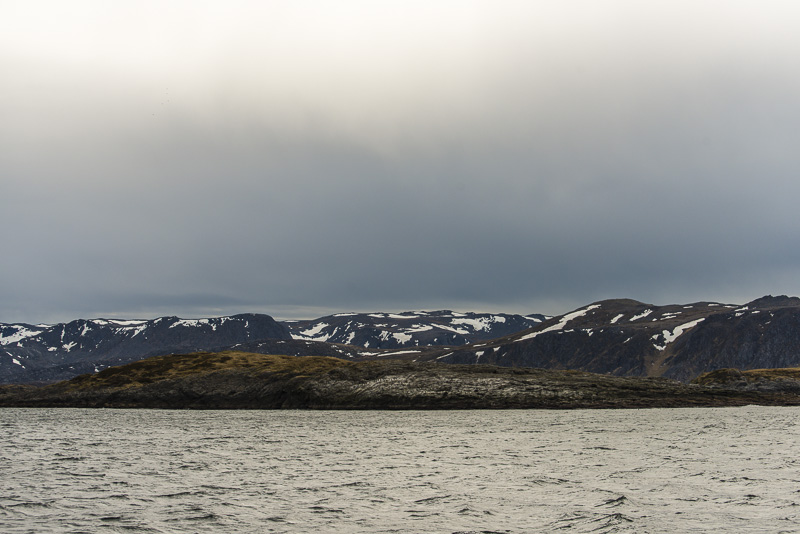
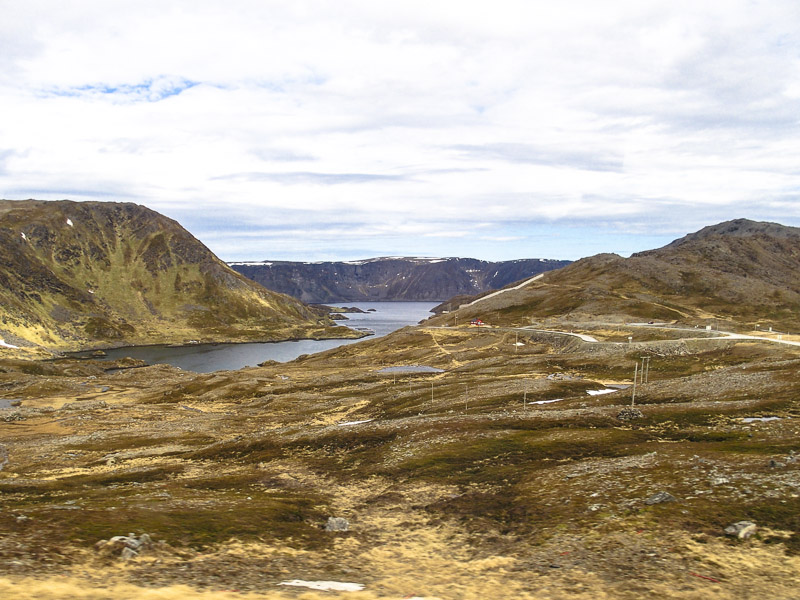
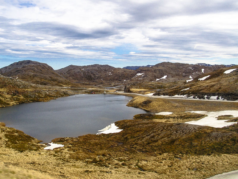
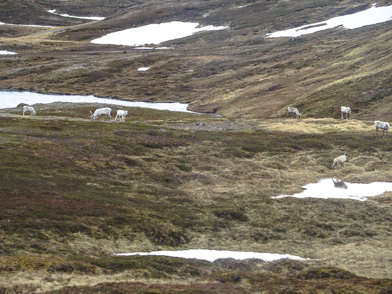
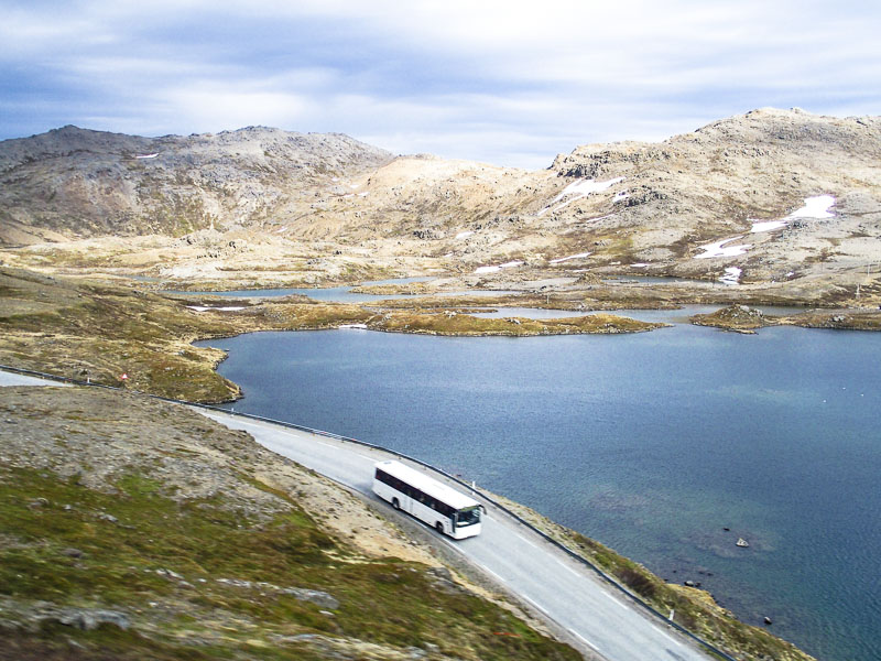
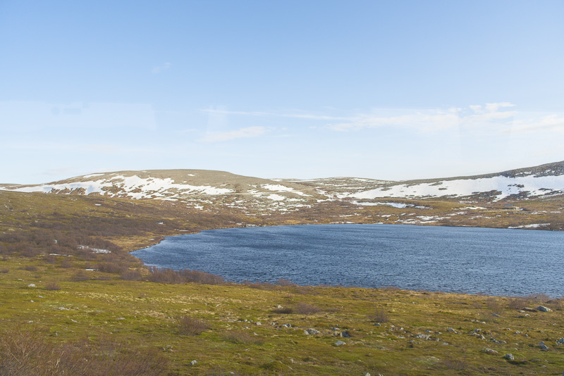
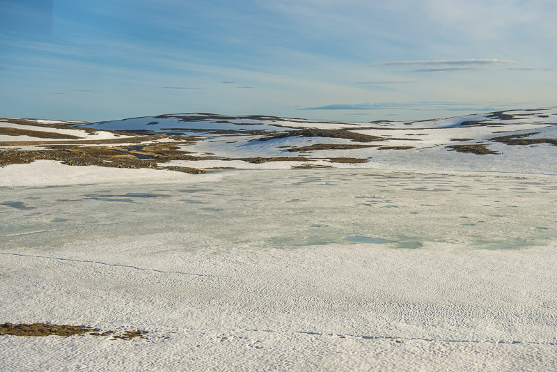
Now crossing the plateau of the island of Magerøya (nearly 300 m high) - still snow here, and the lakes are still partly frozen at the end of May!
Driving down now ...
to the cove named Storebukta.
Heading for Gjesvær and the island of Storstappen.
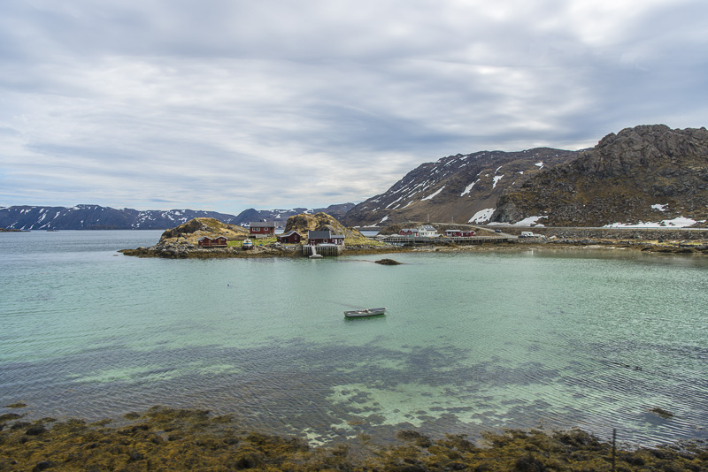
Gjesvær
Here we climb a small boat for the bird watch trip to the Gjisværstappan seabird reserve.
Gjesvær
Gjesvær
View back to Gjesvær ...
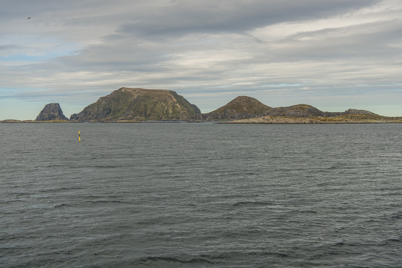
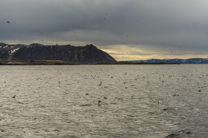
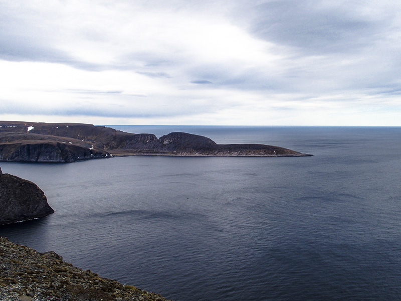
... and forth to the islands of Storstappen, Kjerkestappen and Bukkstappen.
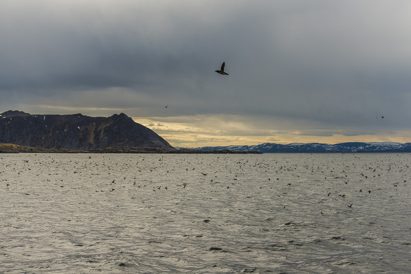
Skerries on the way ...
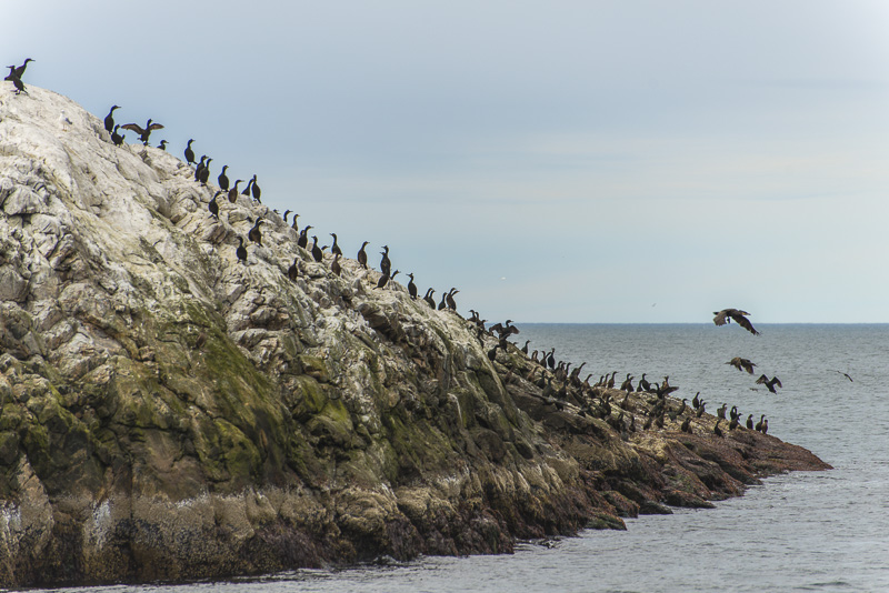
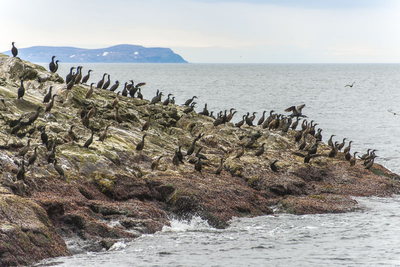
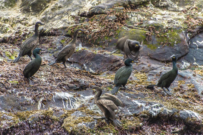
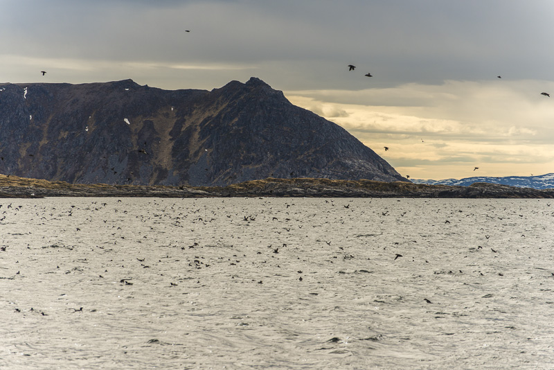
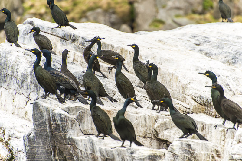
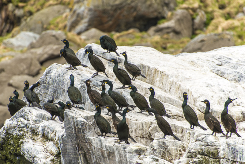
... with first bird colonies: Great cormorants (Phalacrocorax carbo)
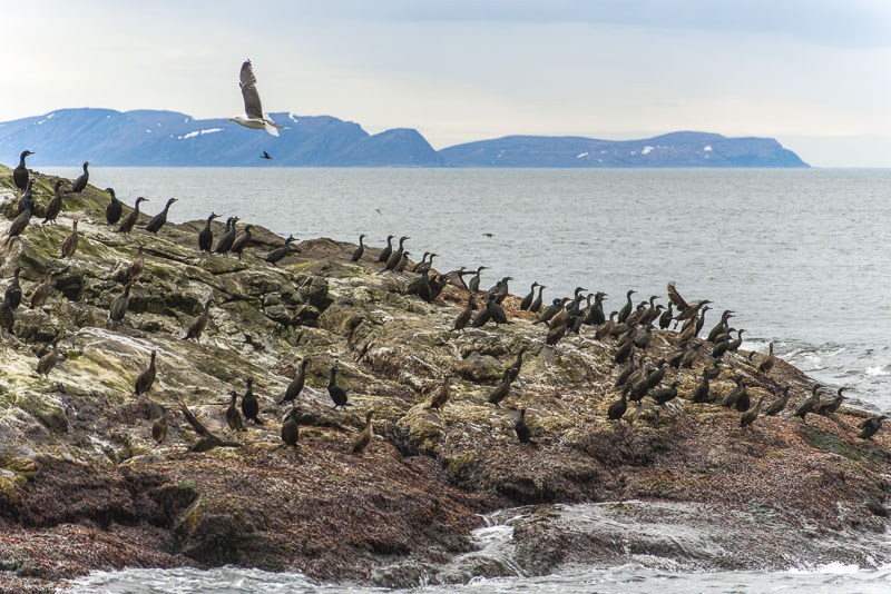
The seagull knows that many cormorants will flee, when the ship passes by. But no eggs to steal yet ...
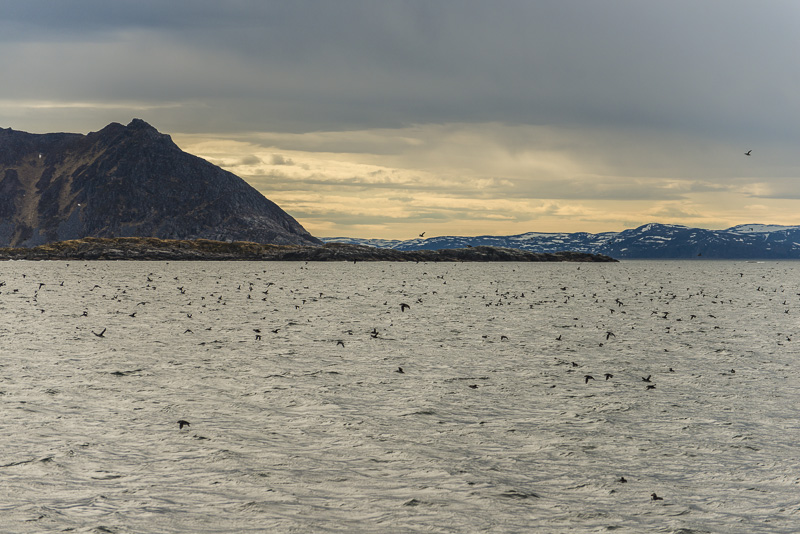
View back to the main island of Magerøya.
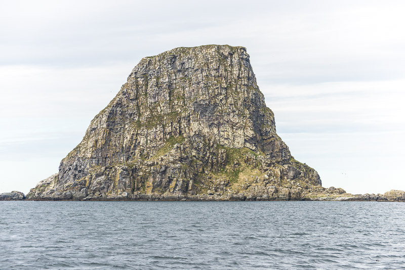
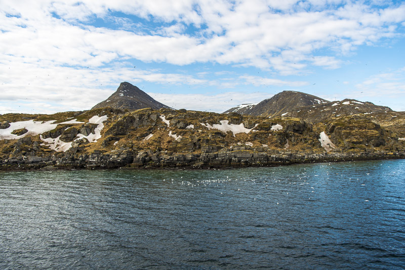
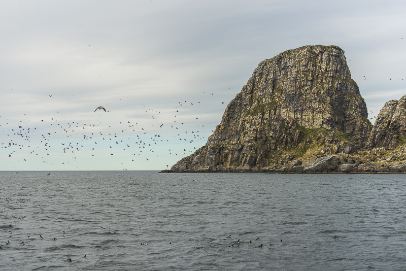
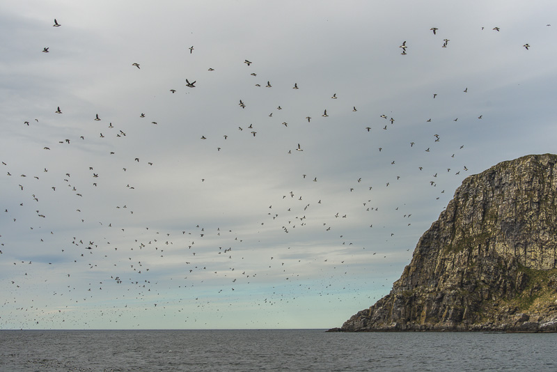
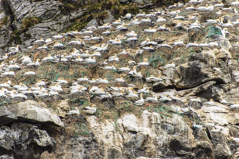
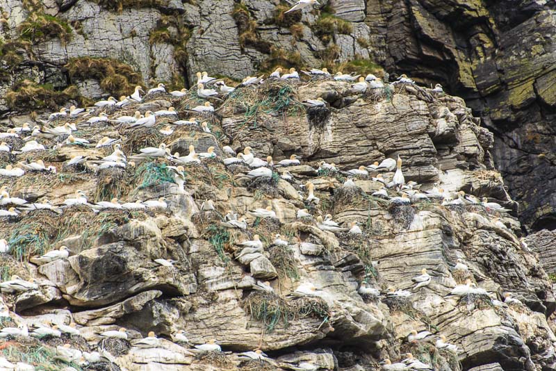
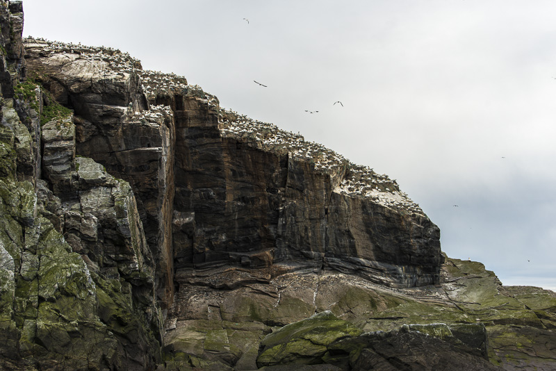
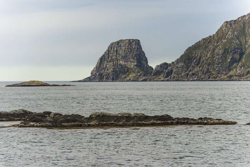
This prominent rock is named Stauren and is 165 m high, it belongs to the island of Storstappen.
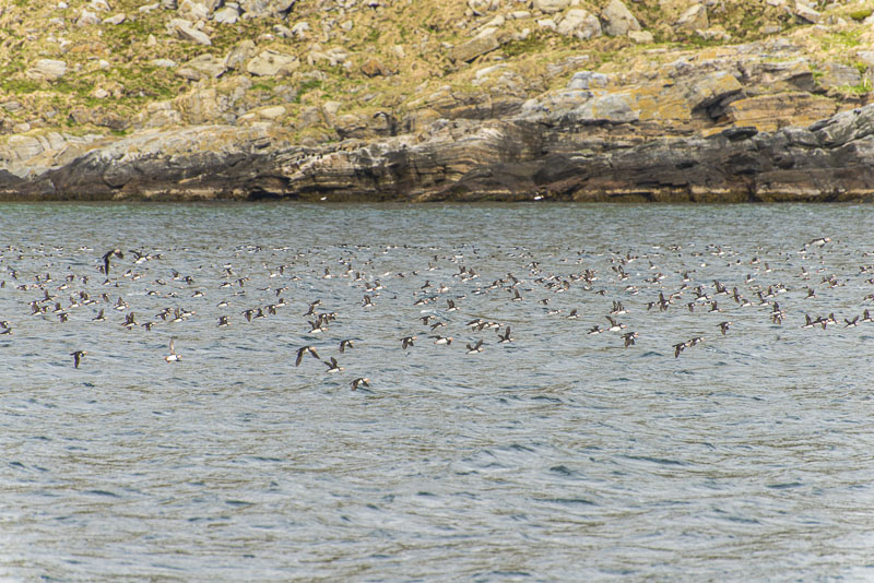
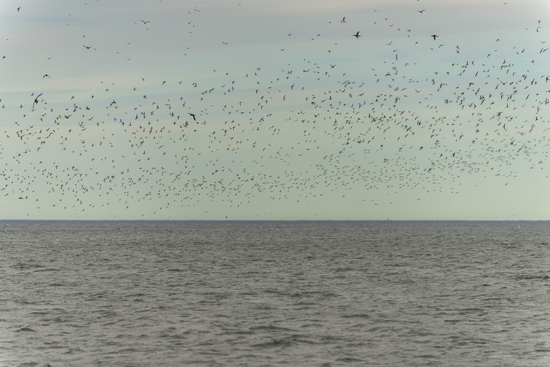
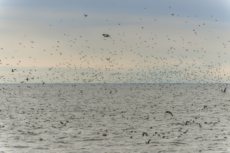
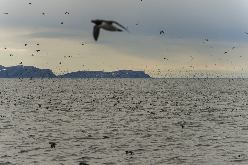
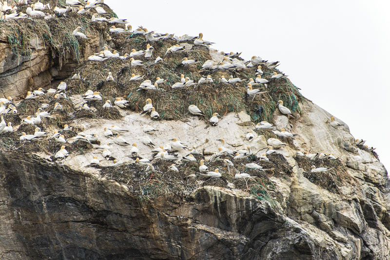
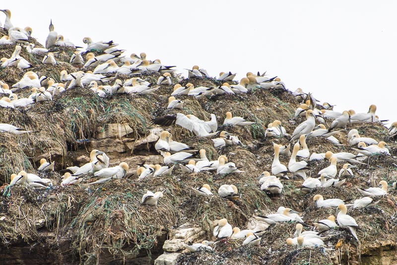
Thousands of atlantic puffins.
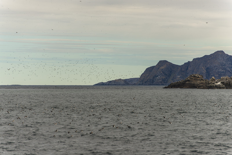
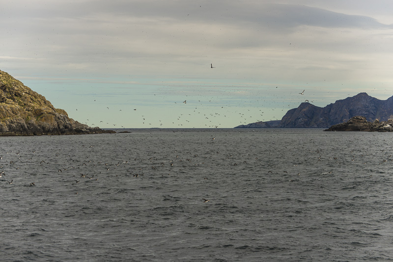
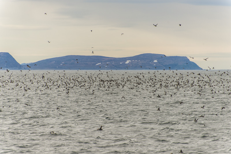
... and eclipse the sky.
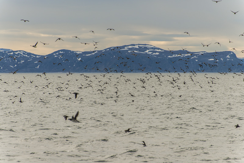
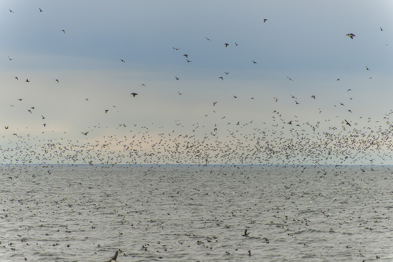
An estimated 400.000 breeding pairs of puffins are living here!
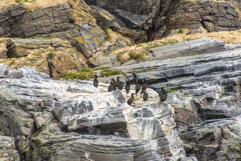
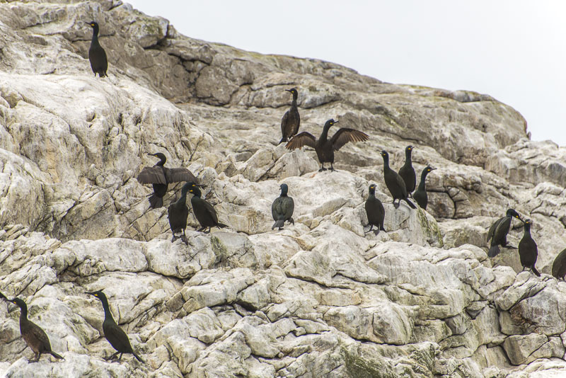
Another smaller colony of cormorants
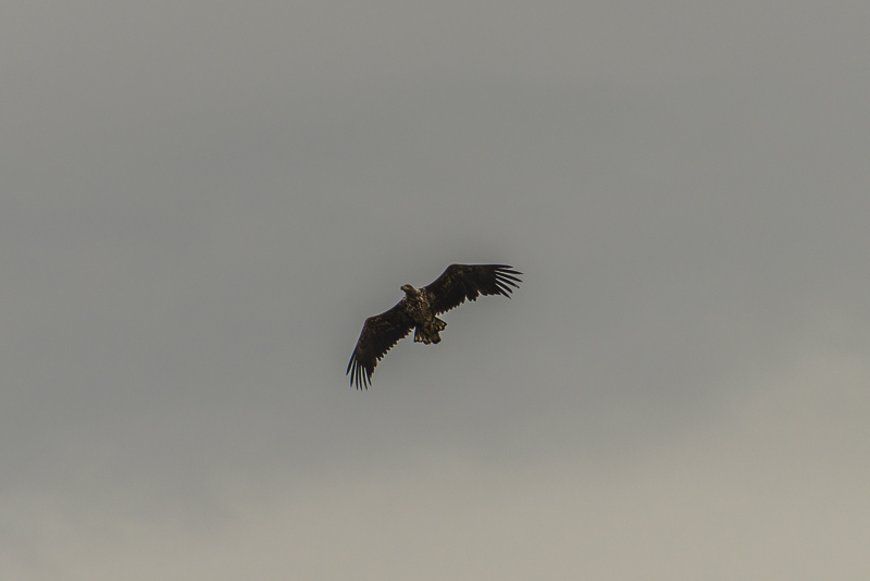
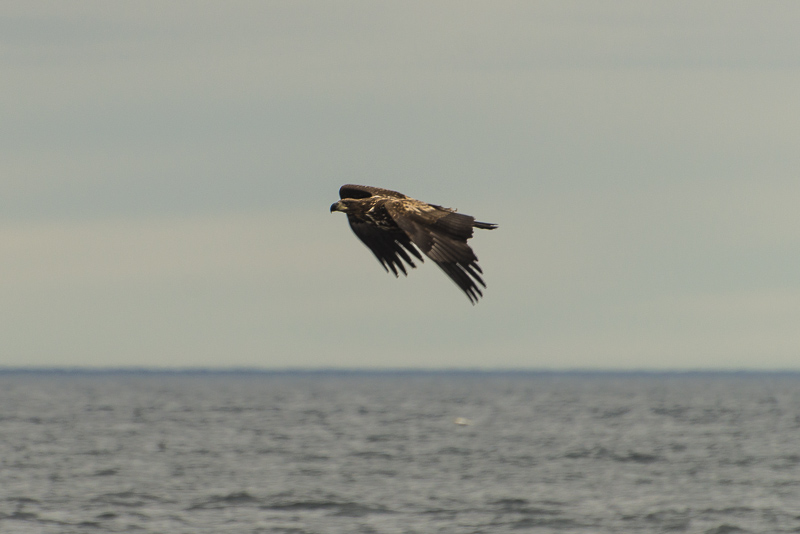
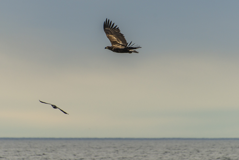
A rather big bird now appears: a white tailed sea eagle.
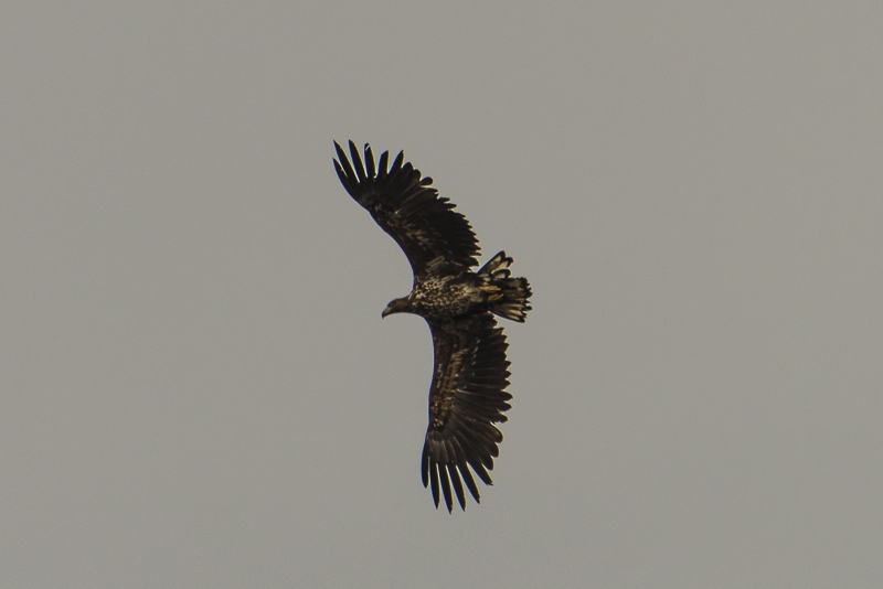
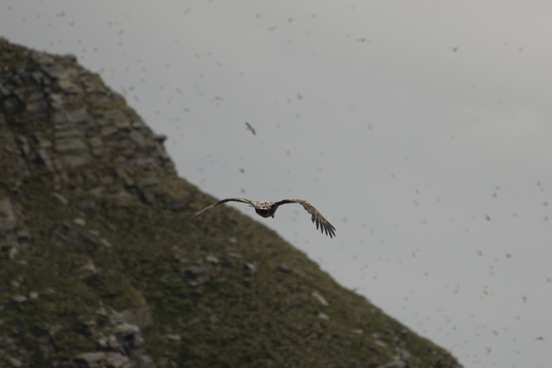
Circling the island.
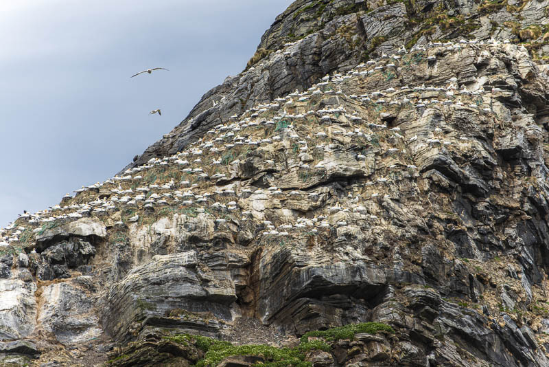
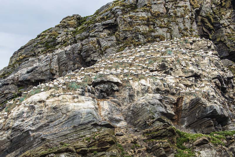
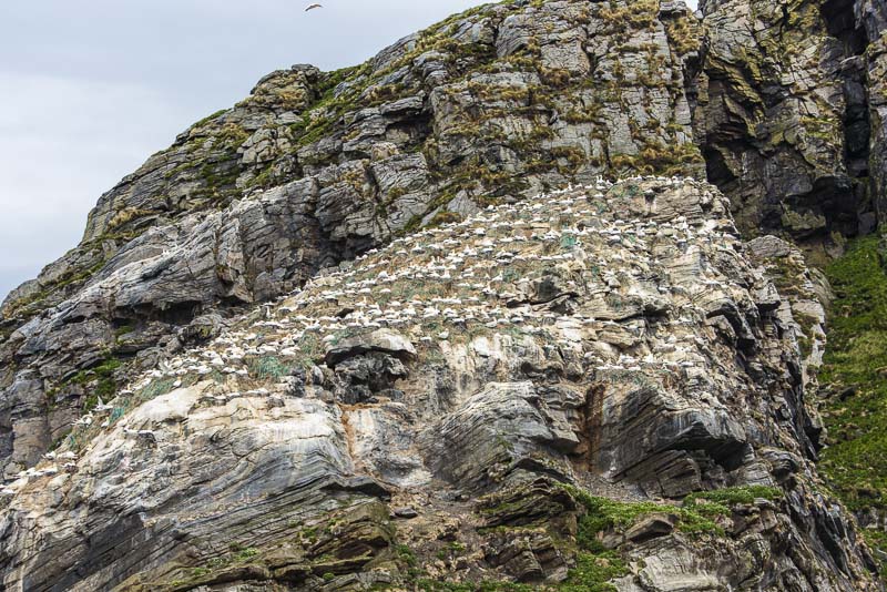
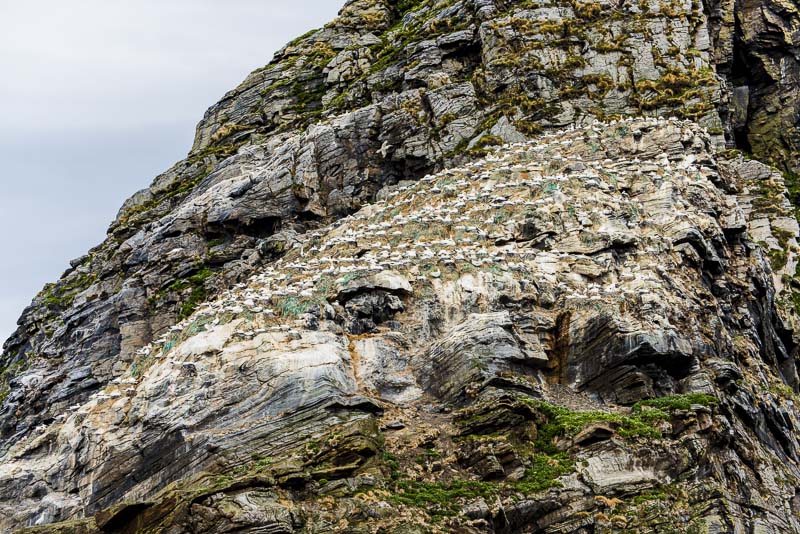
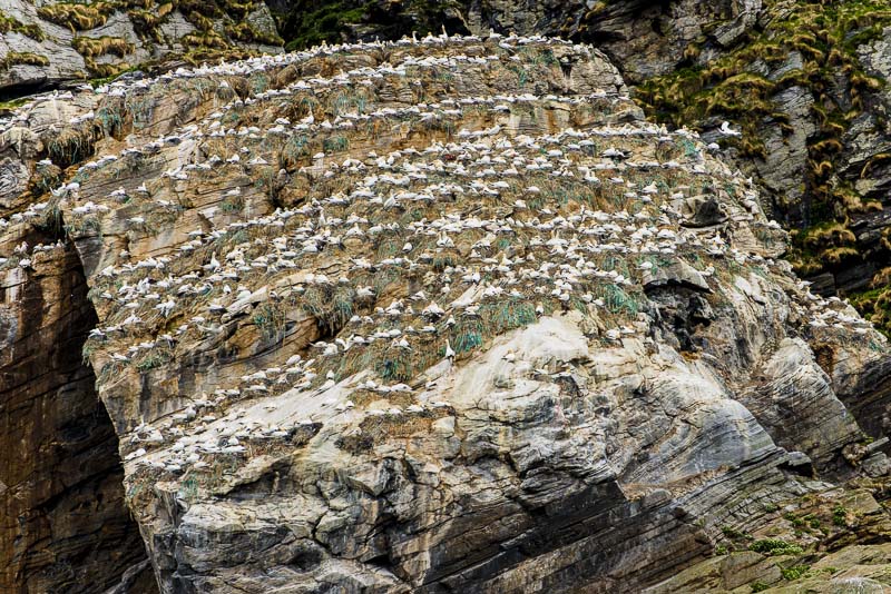
We too are circling - the Stauren rock. A huge colony of Northern gannets (Morus bassanus)
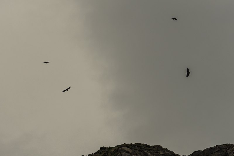
Four sea eagles are circling here now over the main part of the Storstappen island.
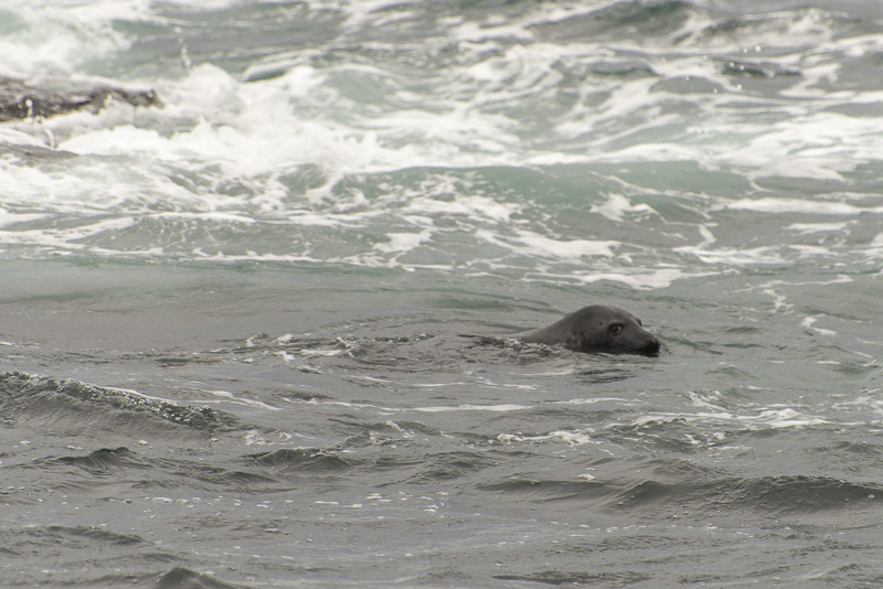
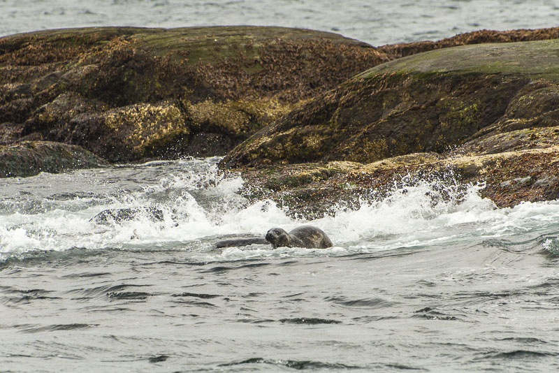
Seals ...
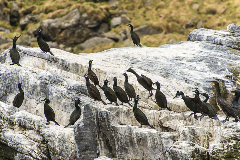
... and another cormorant colony.
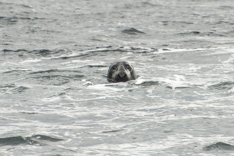
It happens onyl now and then in your life that you look into the nares of a seal.
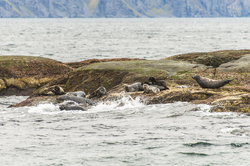
These seals are not really pleased from our arrival and flee into the water.
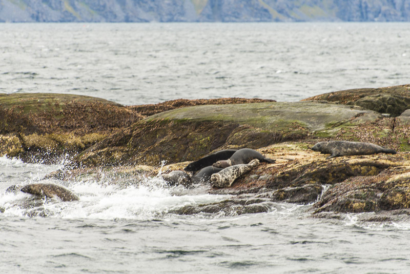
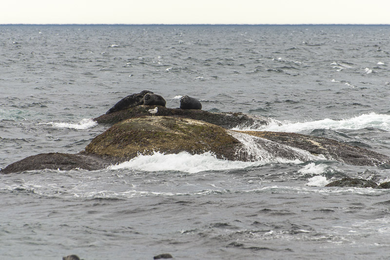
These are more relaxed..
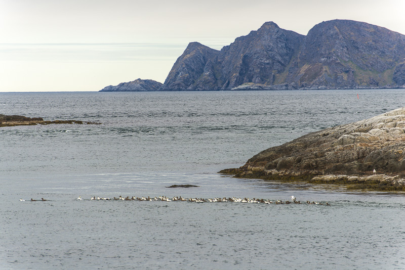
Nearly arouund the Storstappen island.
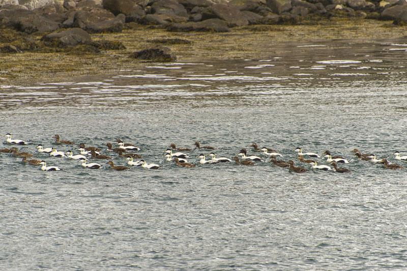
Common eiders (Somateria mollissima)
On the way back now to our bus.
Gjesvær
While I was watching the birds, Susi has booked another trip: to the northernmost point od Europe - are at least the point the Norwegians have declared o be the northernmost point. Because: the rock on the Knivskjelodden peninsula ia a bit more North (but much more remote), and by the way, both points are situated on an island. The northernmost pint on the mainland is a bit South, near Mehamn, the cape Kinnarodden on the Nordkinn peninsula.
So, the following pictures are from Susi´s camera.
Firstly driving the same route along the Skipsfjord
Hotel
Up to the high plateau
View down to the Ris fjord
Passing by the small village of Skarsvåg
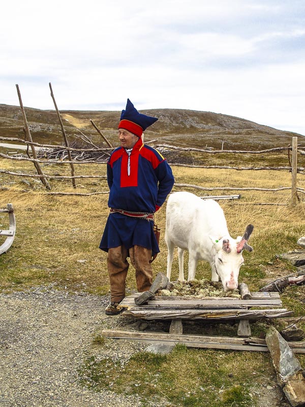
An old Samic man in traditional clothing with his raindeer.
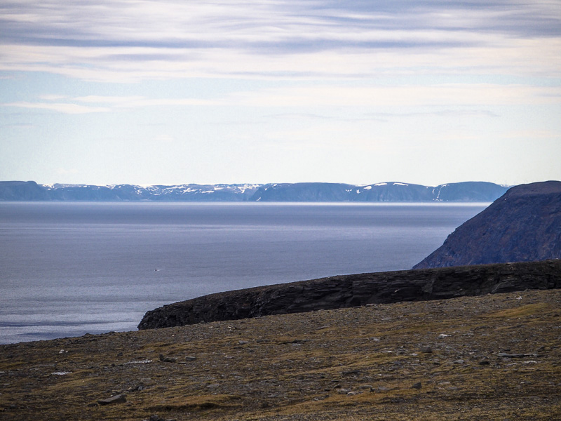
Nice view from the North Cape - this one is to the East ...
... and this one is to the west, to the Knivskjelodden peninsula, the true North cape of the Magerøy island.
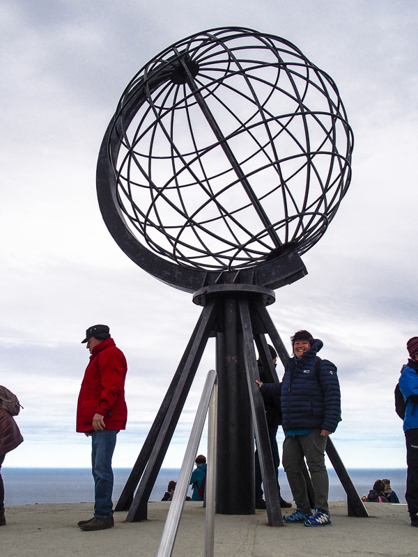
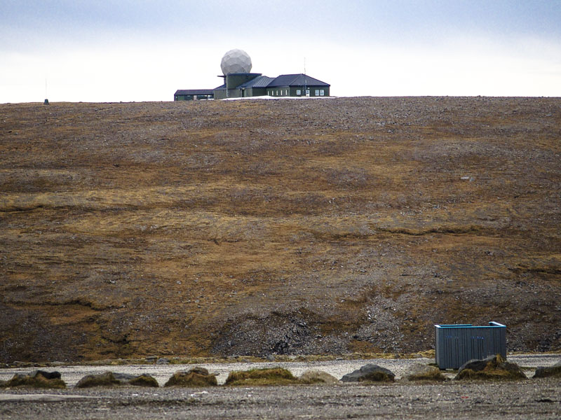
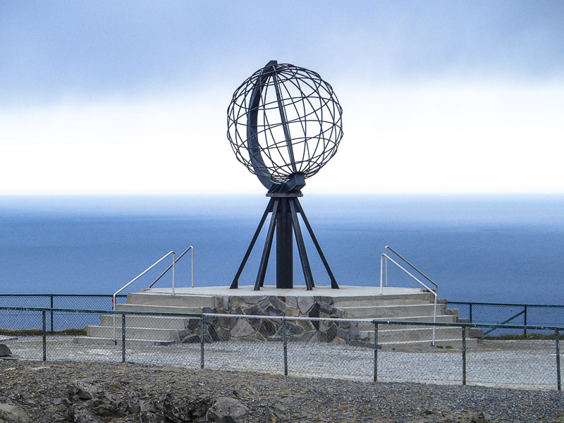
A big monument and a building was erected at the North Cape. At least it is tourist attraction: the place the Norwegians claim to be the northernmost point of Europe. From this 307 m high, steep cliff it is "only" 2.102,3 km till the North pole.
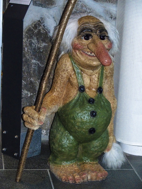
An old Norwegian is huckstered in the tourist shop.
Call it North Cape and build a monument.
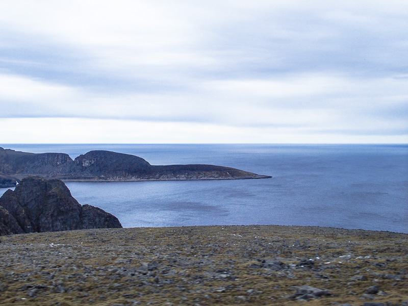
View to the West to the Knivskjelodden pensinula, the true North cape on the Magerøy island.
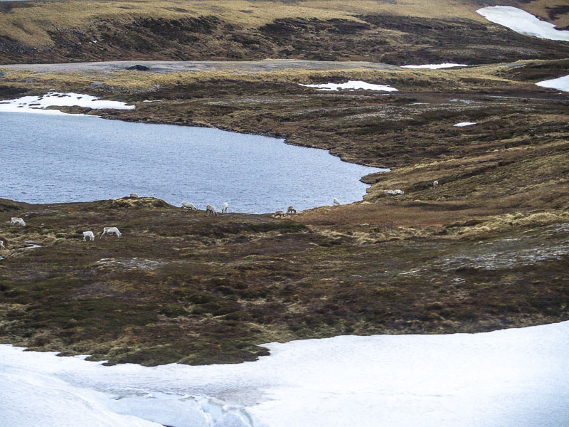
Reindeer (no rain, dear, today!)
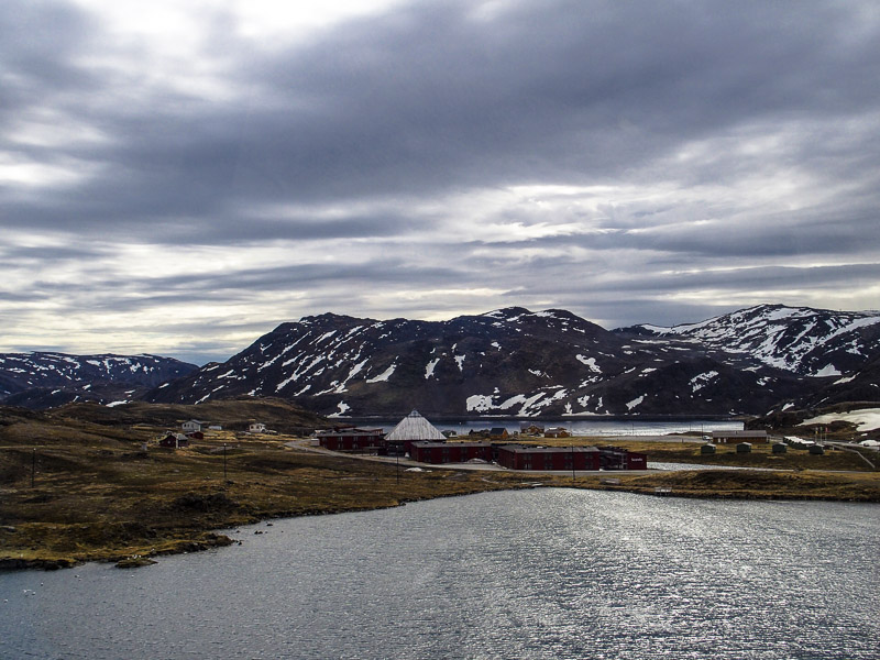
Hotel
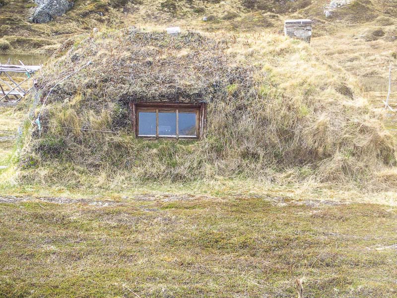
Traditional Sami house - only the windows are new. Overgrown oike this, it should well protect from the wind, I reckon.
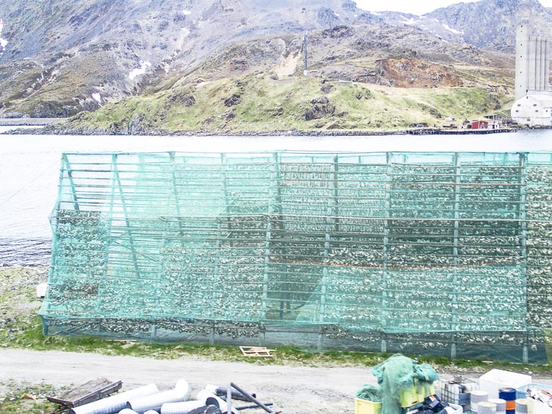
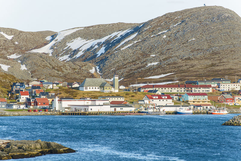
"Fish on a stick" - traditionally air dried fish, near Honningsvåg.
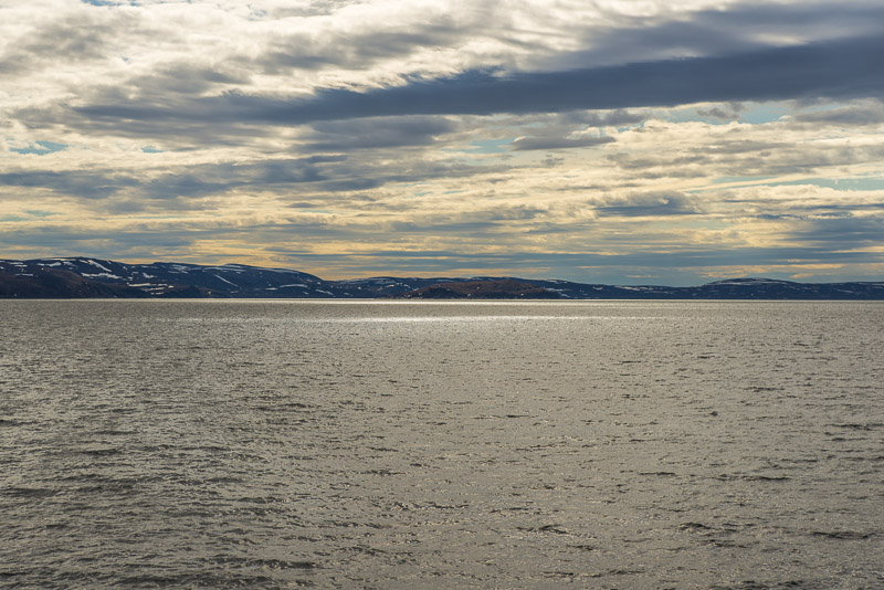
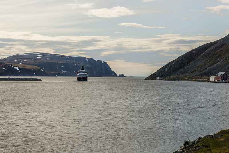
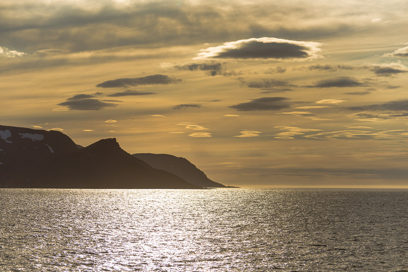
Both of us are safely back on board, departure at 2:45 p.m. We have booked a second trip today, so we take a rest just now. Lots of open sea till Kjøllefjord. So, I go back on the deck at 4:30 p.m. The following pictures are from my camera.
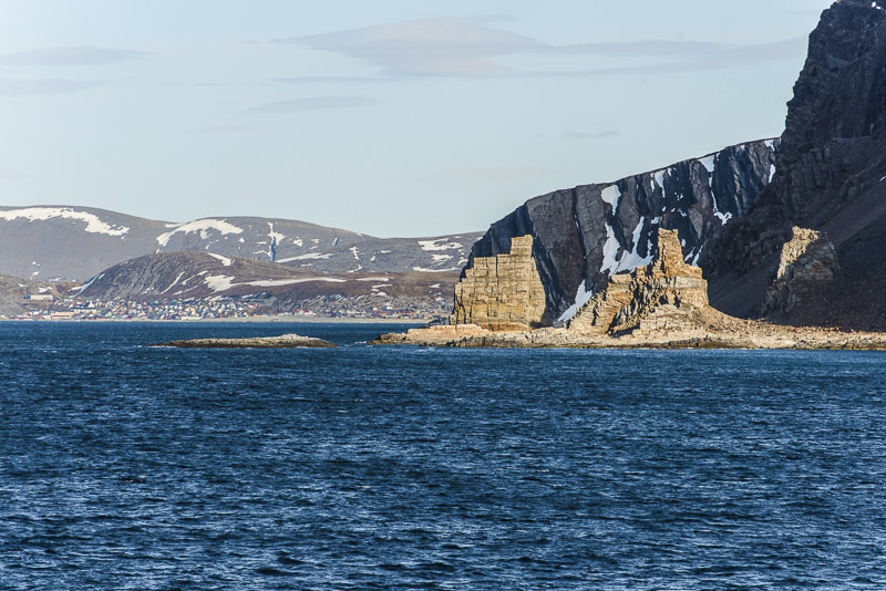
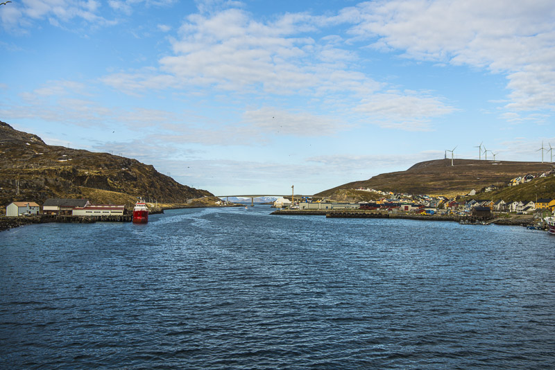
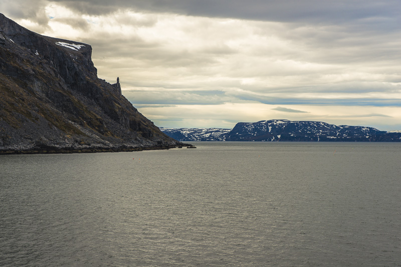
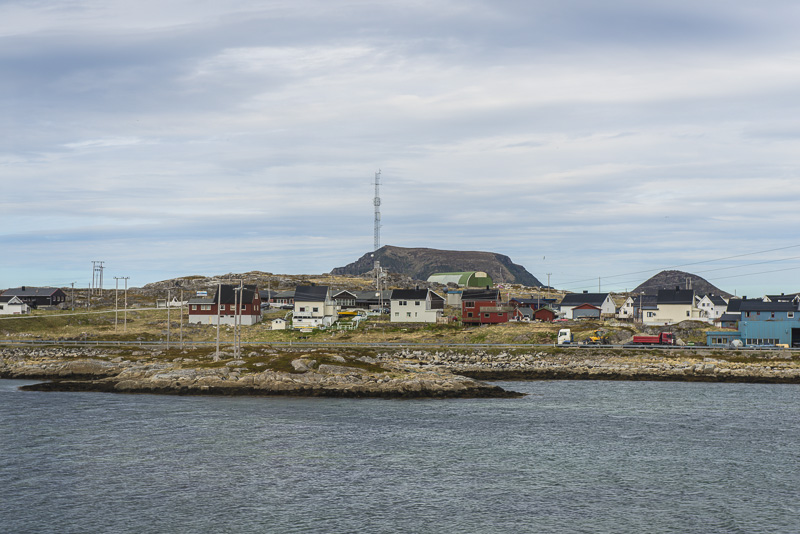
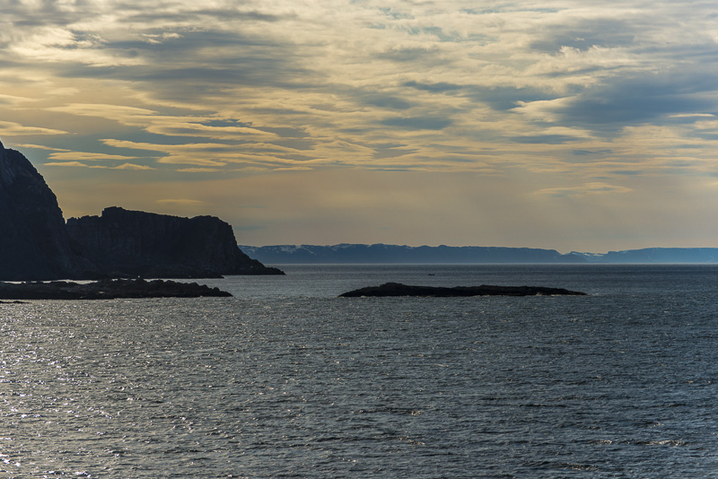
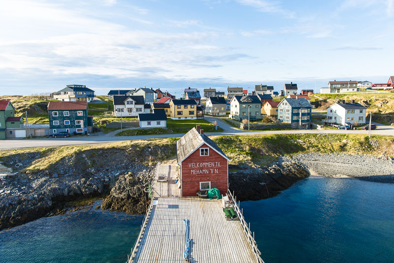
Entering the Kjøllefjord, the homonymeous village situated at its end.
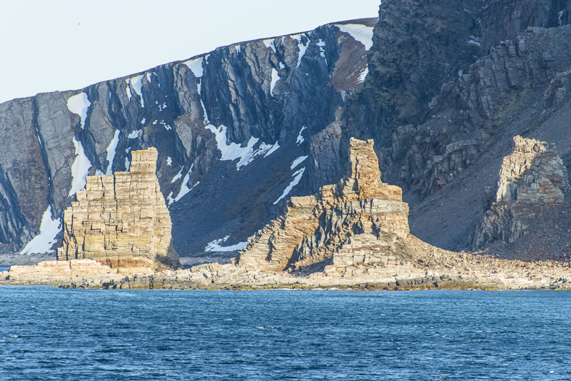
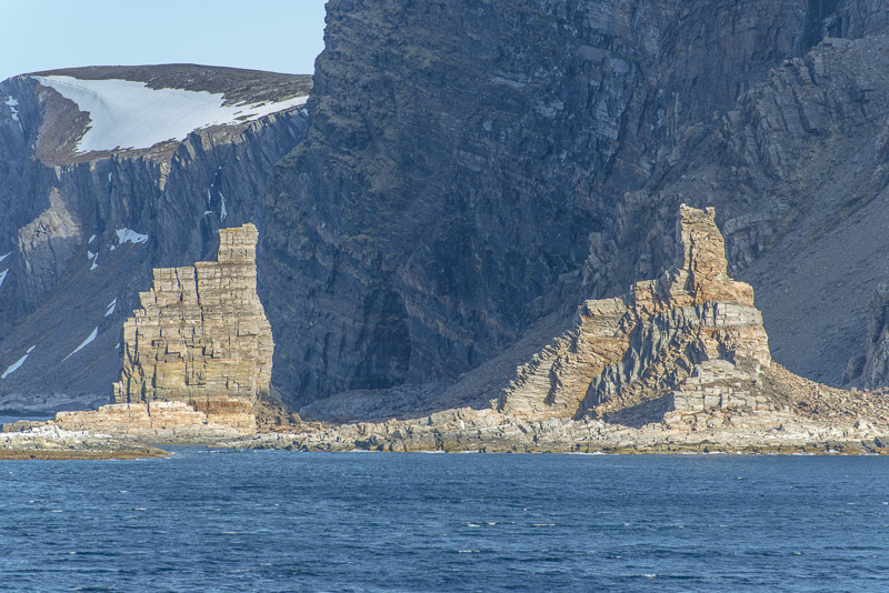
Bizarre rocks, carrying the name "Finnkirka".
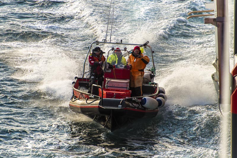
A small boat puts on our ship, ...
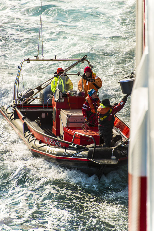
... to release somebody who will give a short lecture about fish. I prefer to stay on deck.

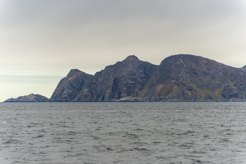
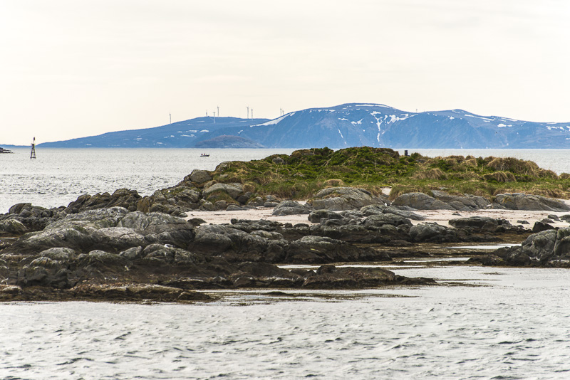
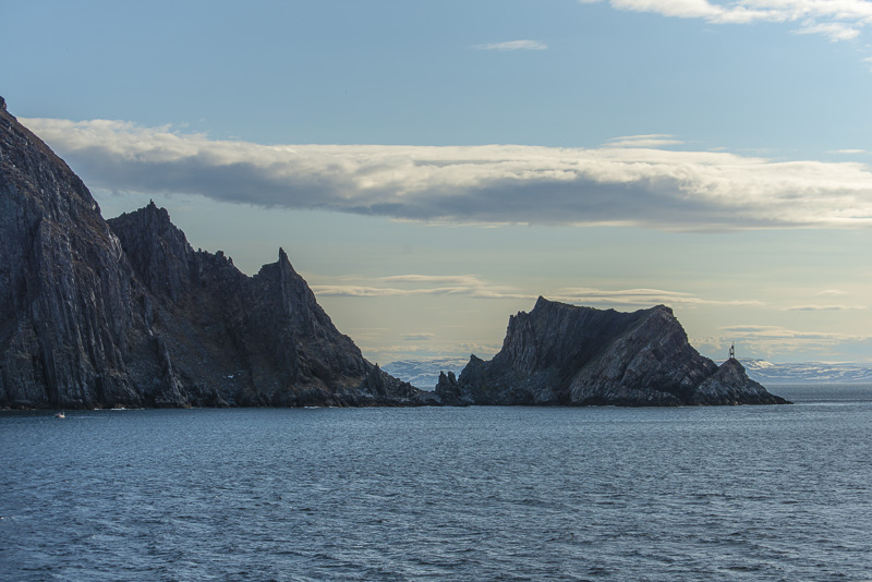
Only rocks is all you see from the ship though.
Electric power is produced by the wind here.
An old trading place.
We left our ship.
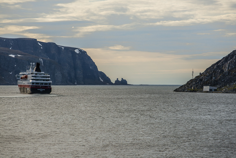
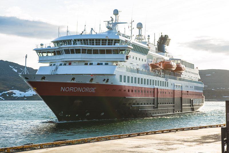
Our ship Nordnorge and the Finnkirka rocks
Our bus now carries us to a special event: an introduction to the Samic people.
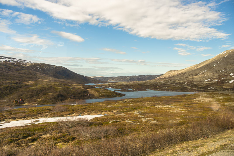
Our guide explains to us that this is the northernmost birch forest in the world. A more rich flora only can develop in protected dales here, like the Oksevågdalen around the two lakes Storvannet and Nedrevannet.
Back at the sea after a few kilometers.
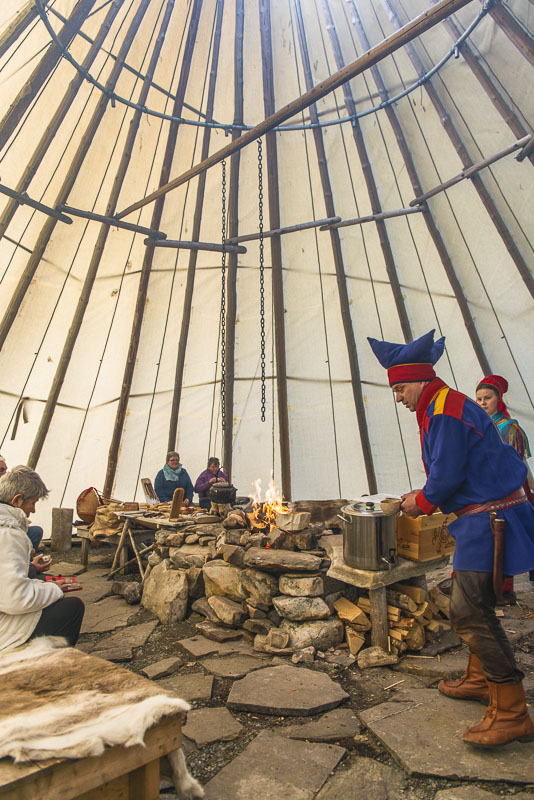
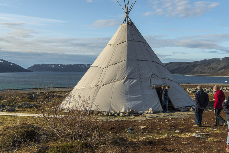
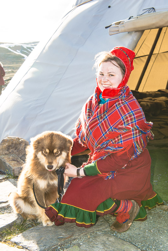
Not before reciting the Samic greeting formula which we repeated in the bus before, we are invited into a tent, where we are familiarized with the Sami culture.
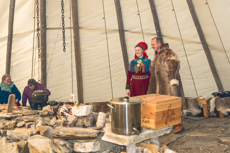
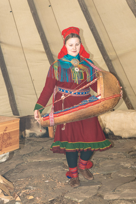
The daughter in the traditional dress, the father wearing a reindeer coat.
Baby barrow
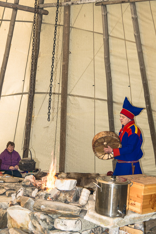
Reindeer soup s cooked over the open fire.
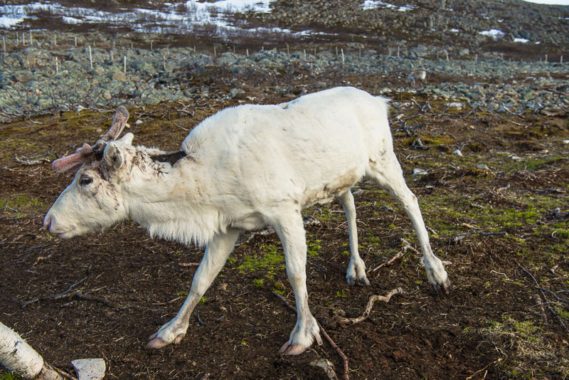
Reindeer, though related to deer and elks, are kept as domestic animals. This one is held in a smaller fenced area, so that it can be admired by the tourists.
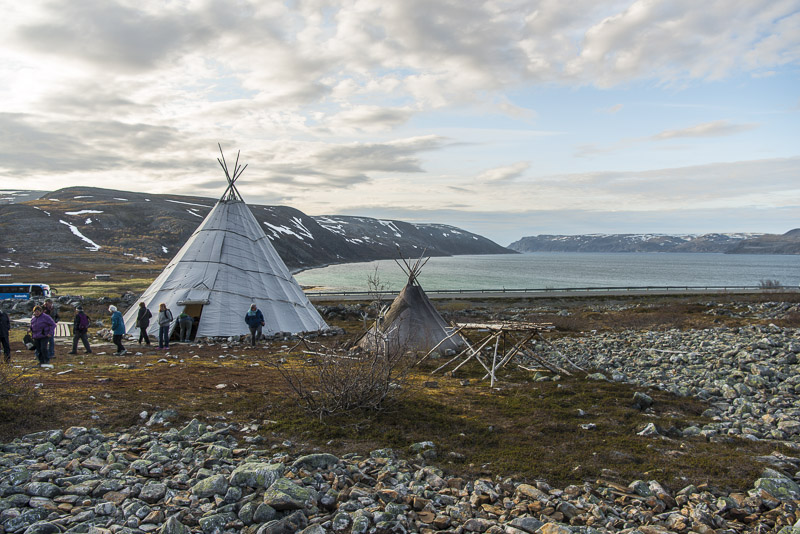
The big tent is covered by a plastic tarpaulin, the smaller tent is covered by animal skins.
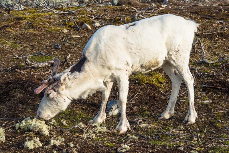
To keep the reindeer close to the fence, they are fed by some yummy lichen, which has been collected before on rocks.
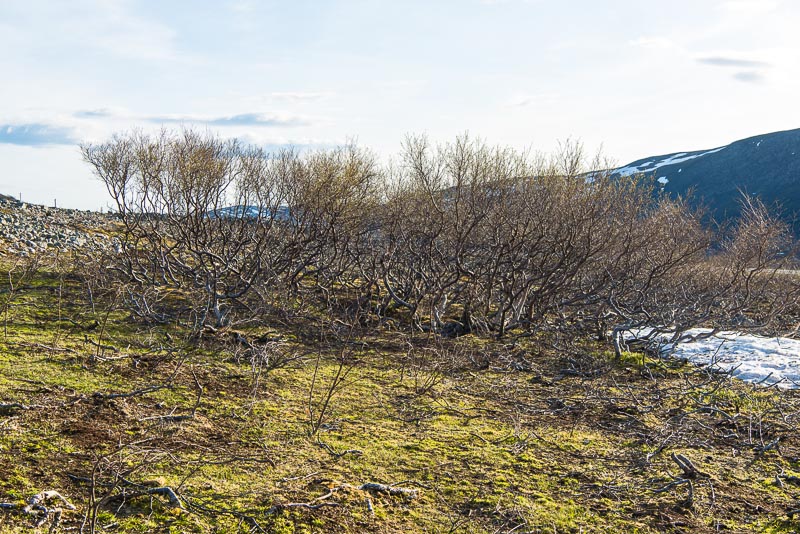
Arctic birches - still without leaves at the end of May.
View to Oksefjord
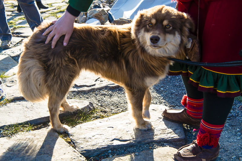
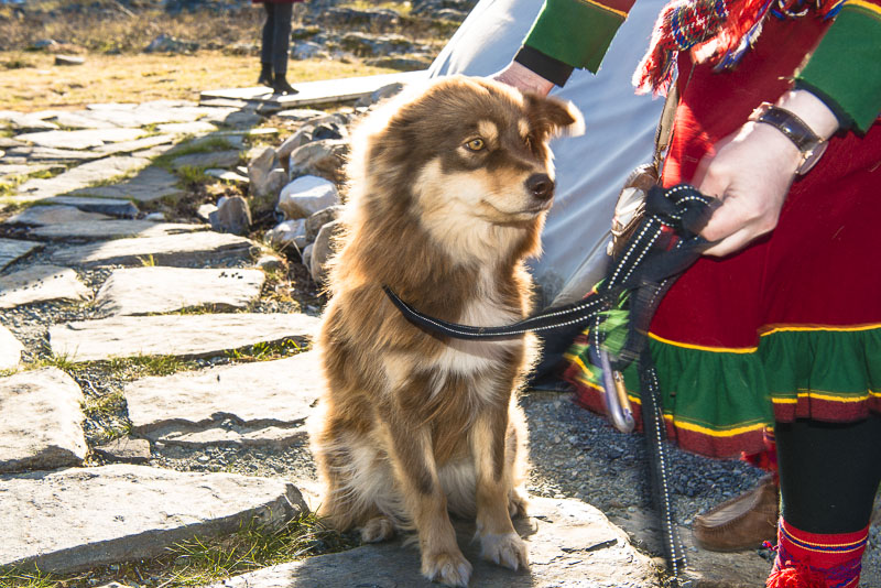
An extremely good dog belonging to the Sami family,
By now, the Sami not only have tents, reindeer and dogs, but also modern clothing, mobile phones, cars, PC´s and all the other modern stuff, and the animals are no longer walking from one pasture to the next, but are carried by trucks. But a sick Sami may additionally call a Shaman into the infirmary.
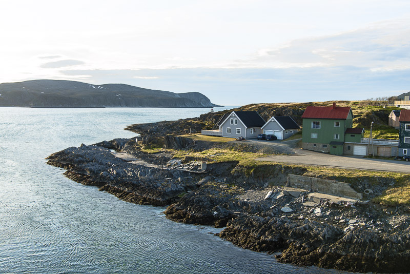
Oksefjord ...
... witha small, narrow extension into the valley.
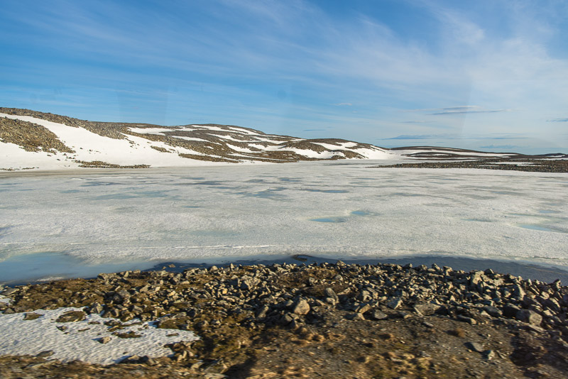
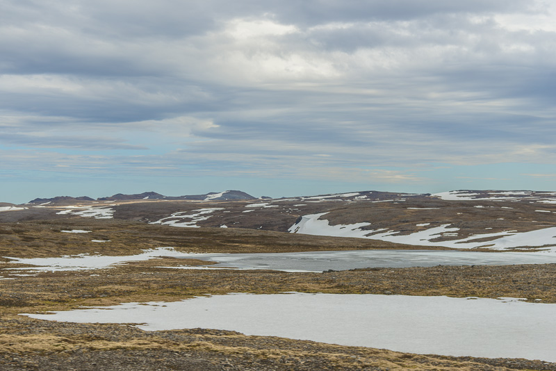
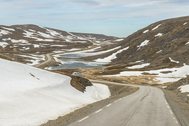
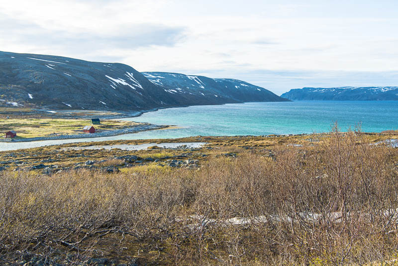
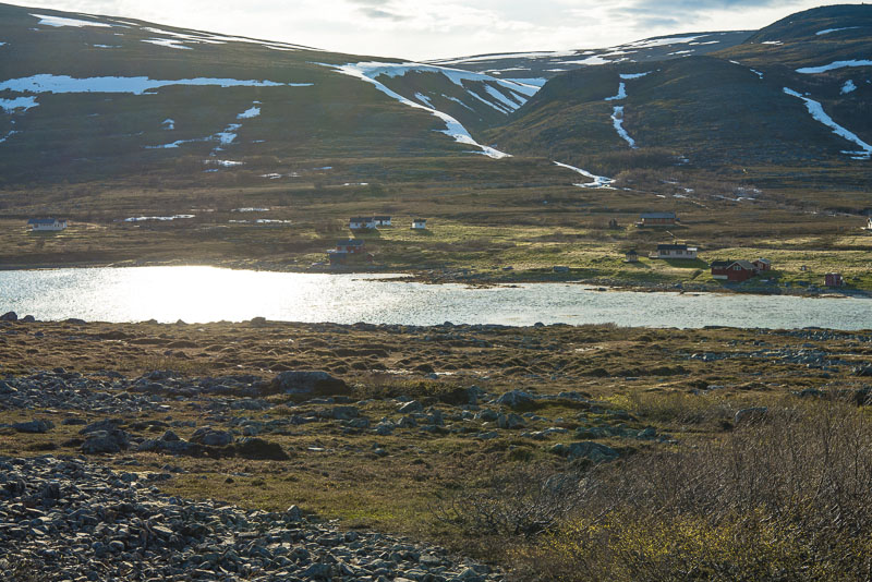
We cross the high plateau to Mehamn - much faster than the ship and with a great shortcut. Still lots of snow here and partly frozen lakes.
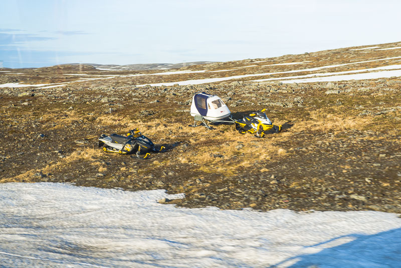
The only suitable transport means in winter.
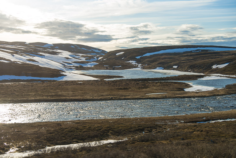
The rivers are full due to the melting snow..
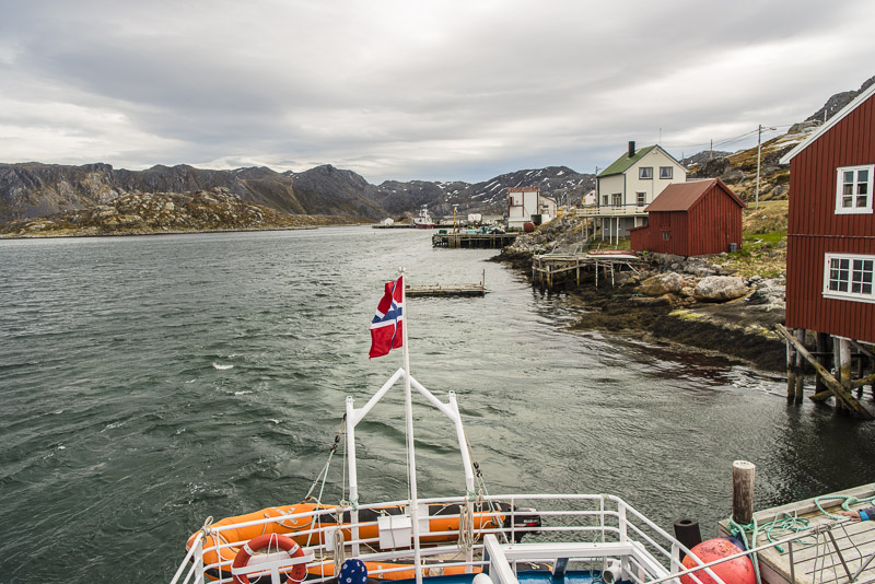
We even have to wait a few minutes for our ship.
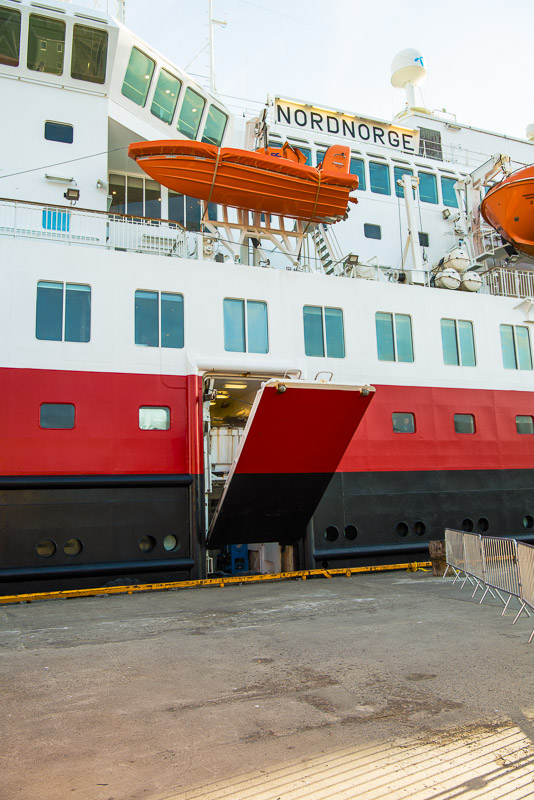
Flap down, staircase down, and we can go on board again.
Back on the ship, and the survey is much better from here.
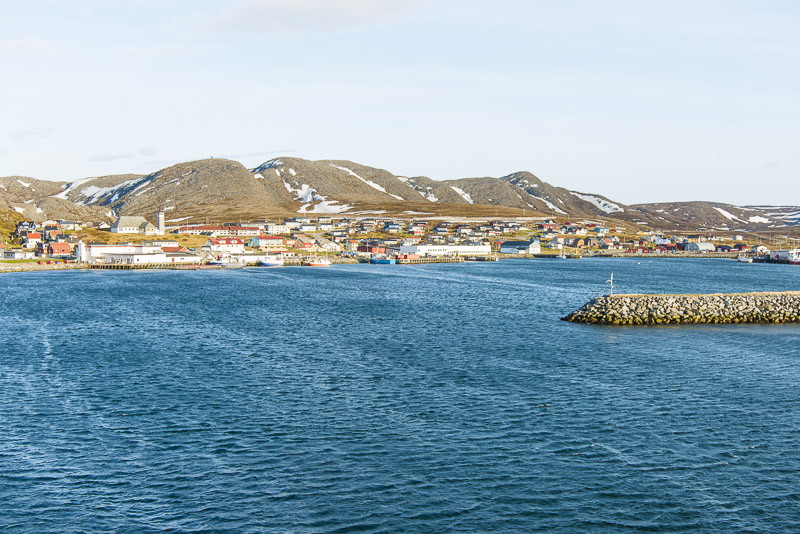
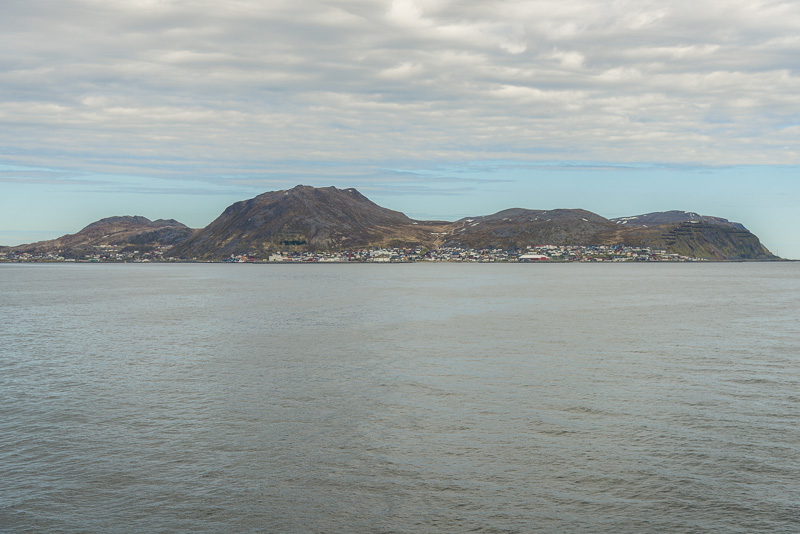
690 inhabitants (in 2011) - not yet a big city.
The forklift has finished its work, flaps up again ...
... and off we sail.
Loking back to Mehamn.
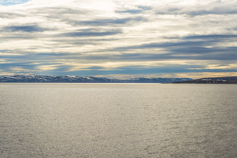
Norway´s Northern coast. Noth of this only is the ice sea and the North pole.
Zooming in to the church
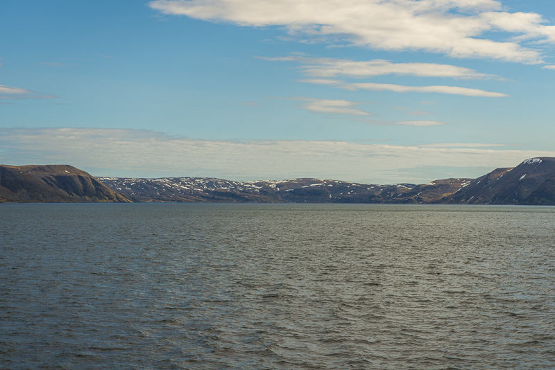
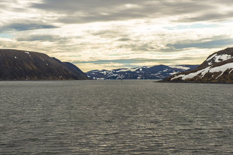
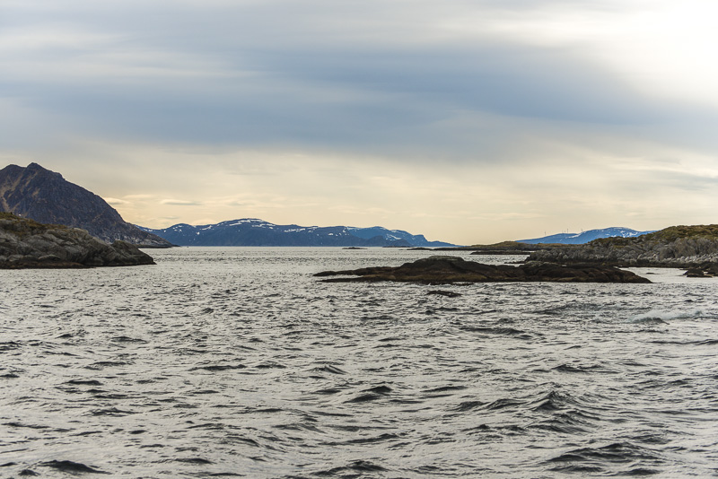
Now sailing alng Norway´s North coast in eastern, in short even southern direction - our final destination, Kirkenes near the Russian border is as "south" as Tromsø.
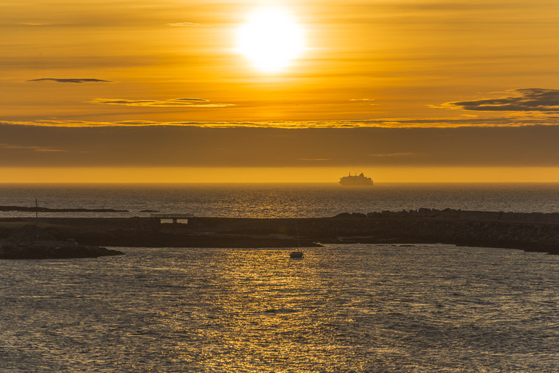
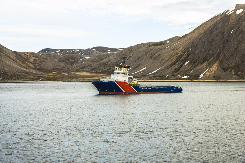
Another ship meeting near the harbour of Berlevåg.
23:30 - Midnight sun and sun dog (far right). Time to go to bed.