20.5.2016: (Stokmarknes - Sortland - Risøyhamn) - Harstad - Finnsnes - Tromsø - Skjervøy
A second day getting up early - at 6:45 we put on ...
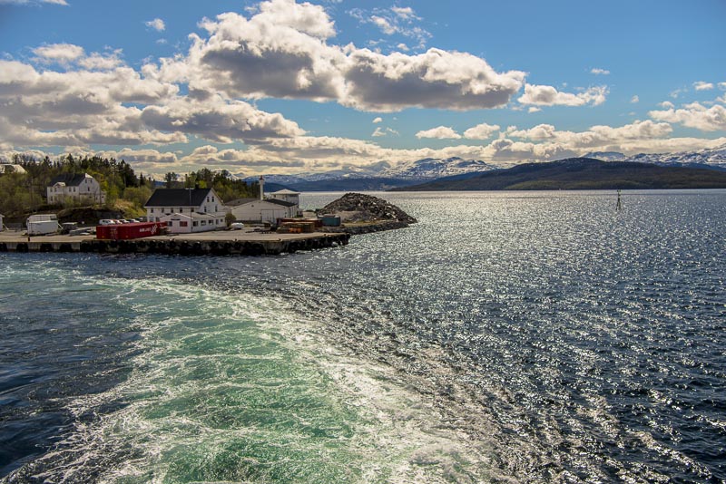
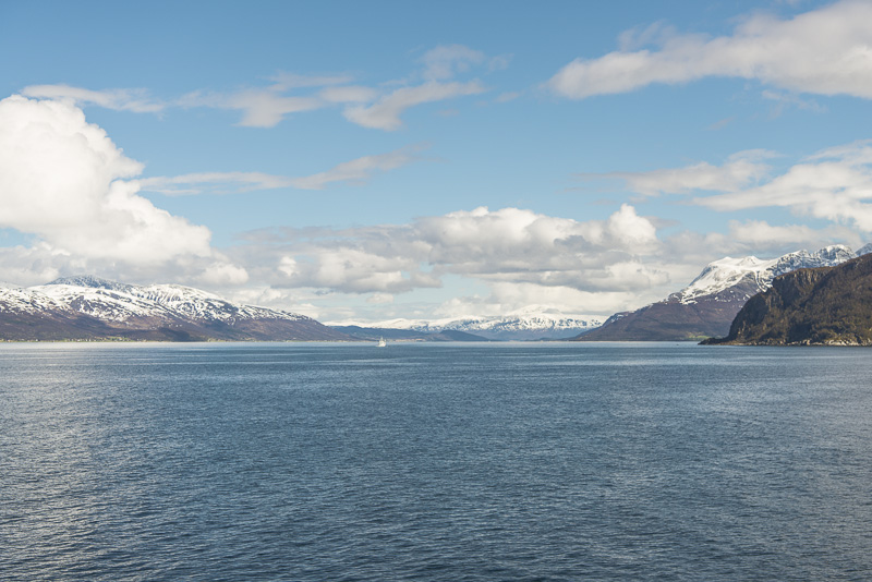
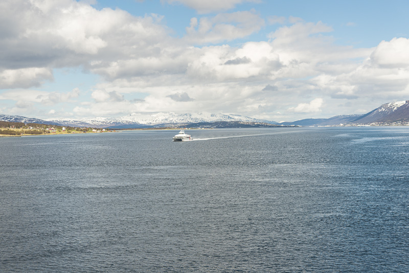
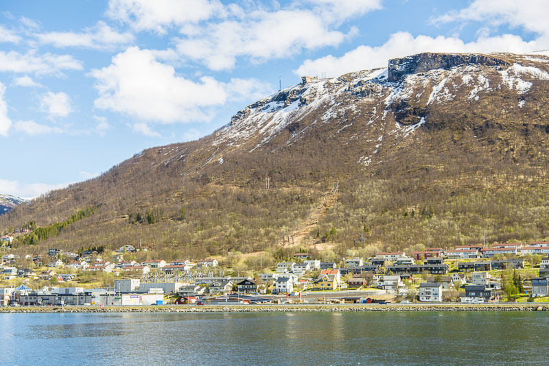
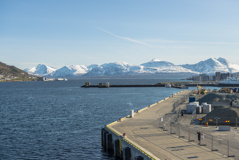
... at Harstad, which I don´t want to miss.
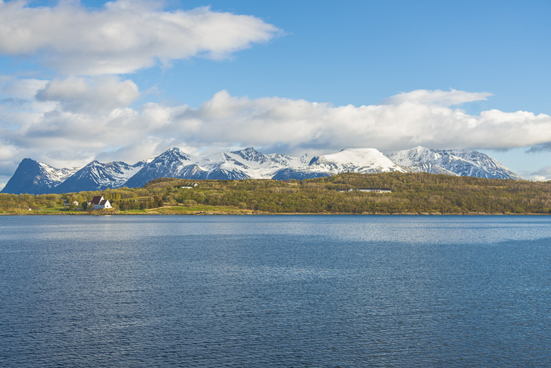
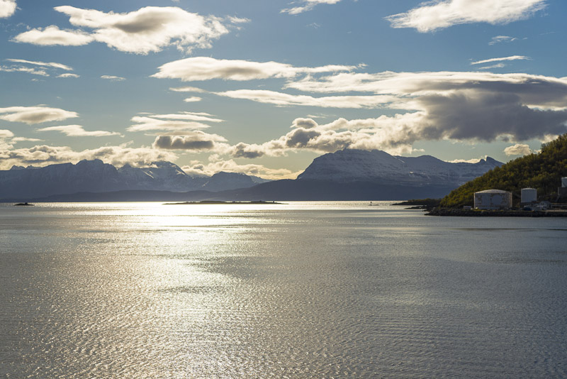
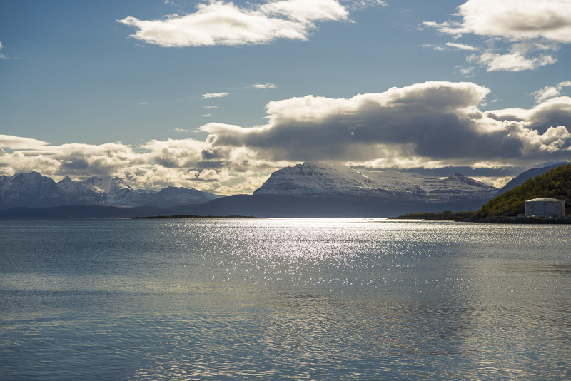
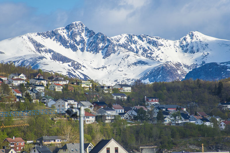
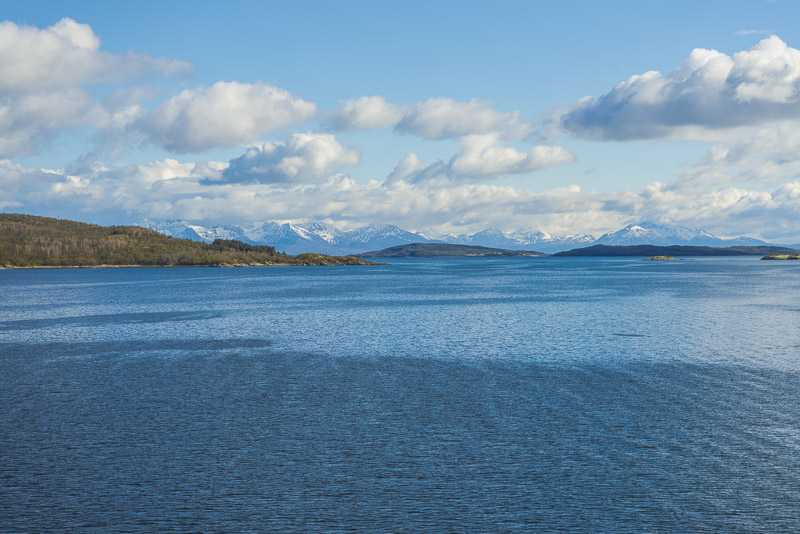
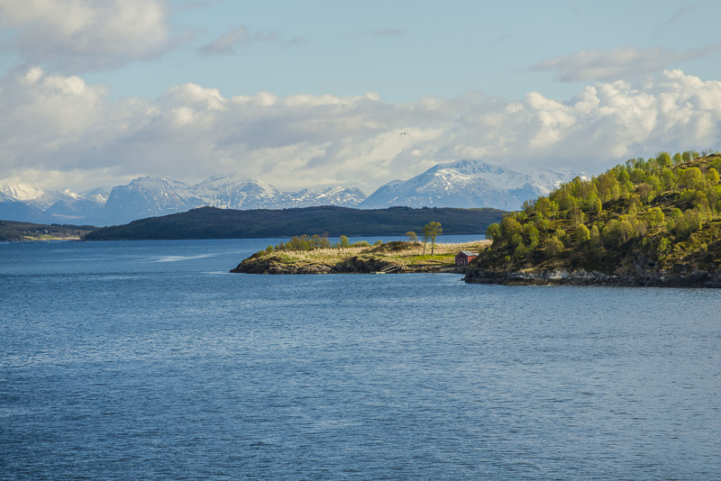
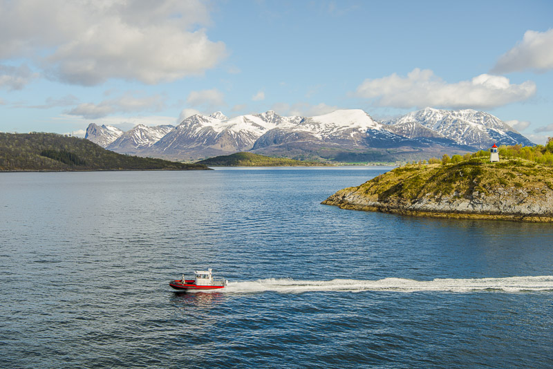
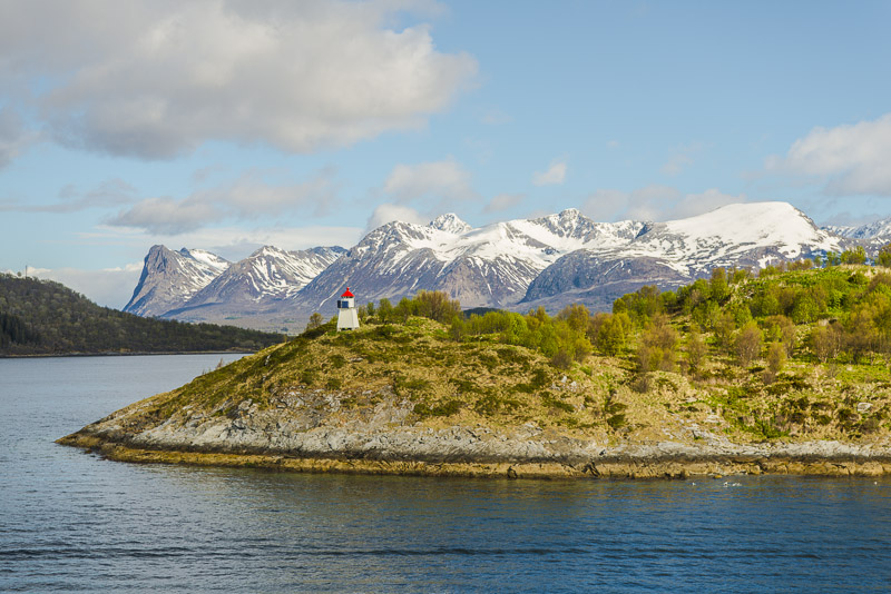
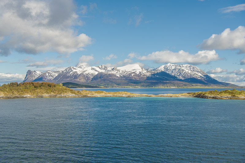
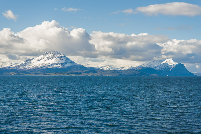
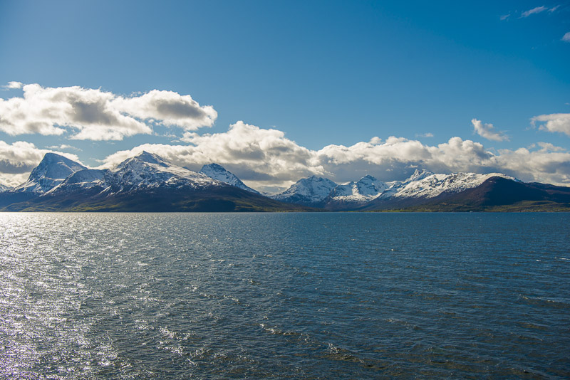
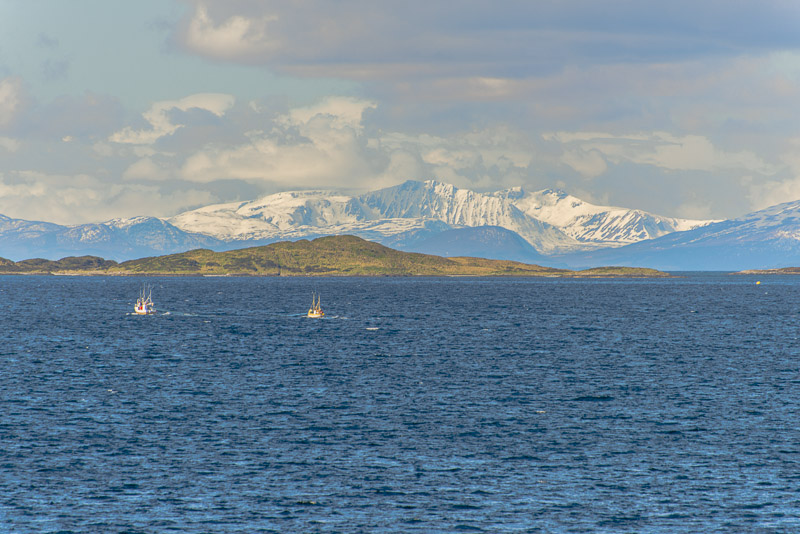
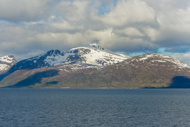
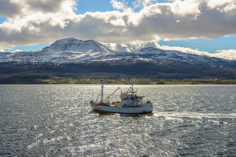
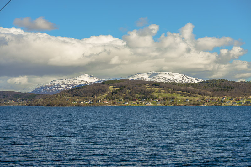
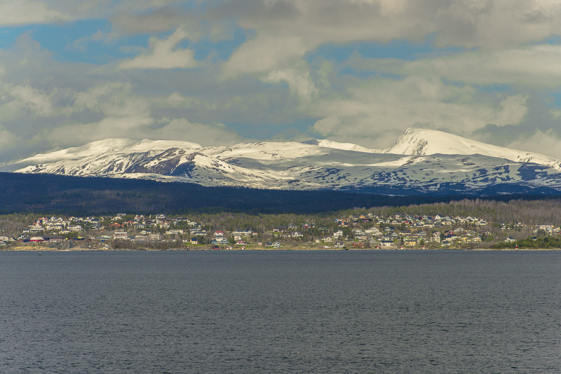
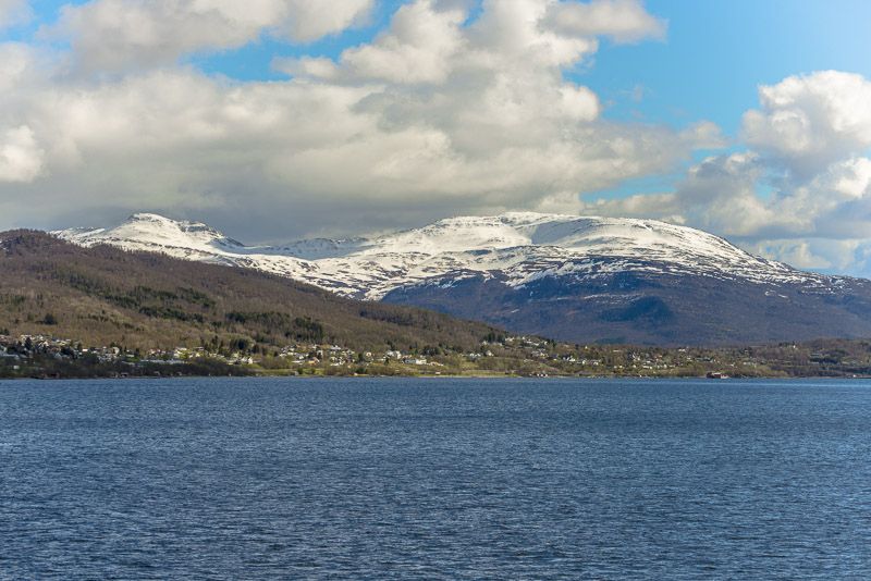
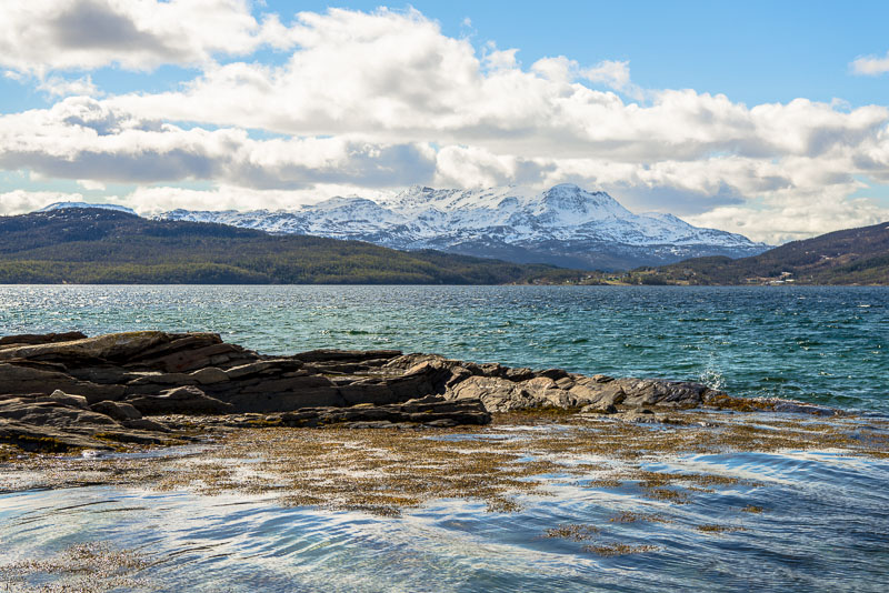
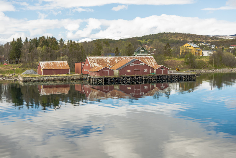
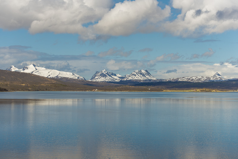
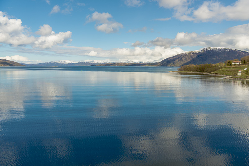
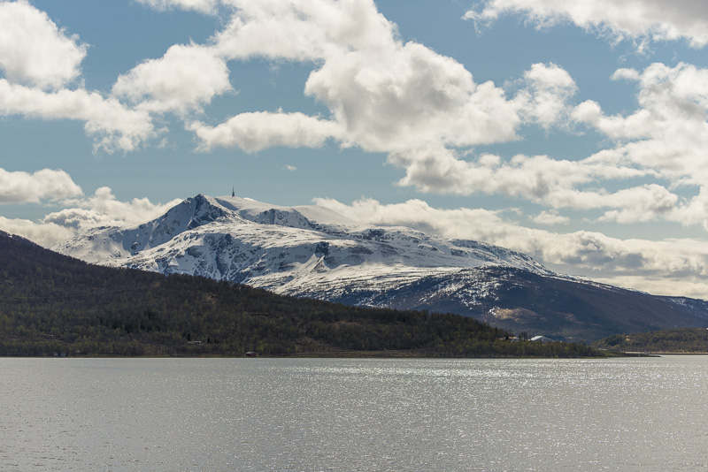
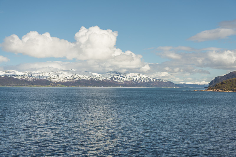
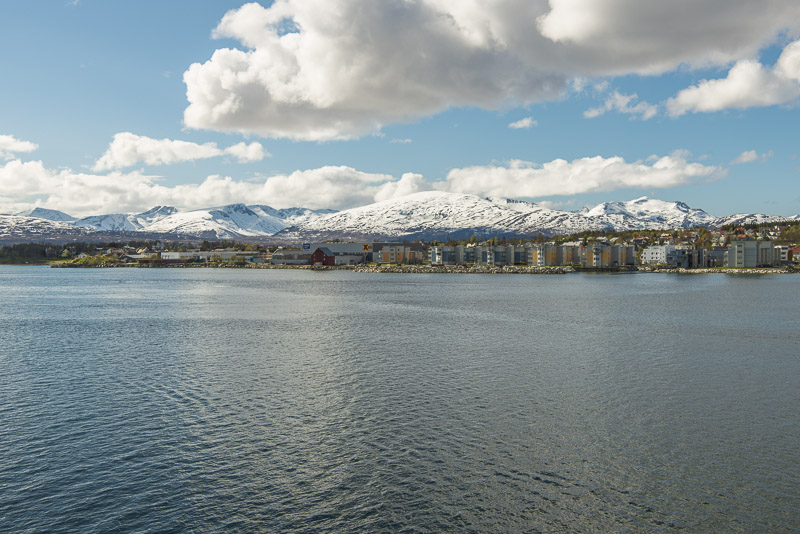
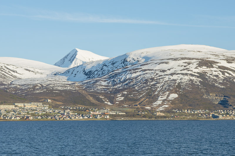
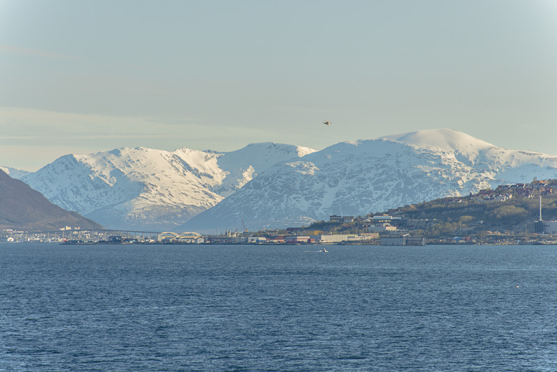
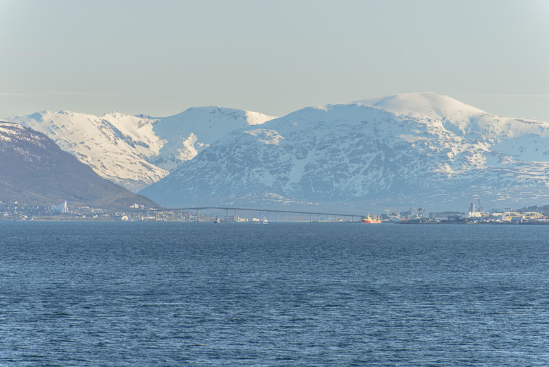
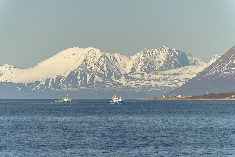
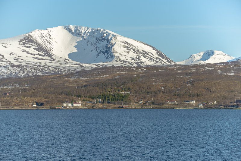
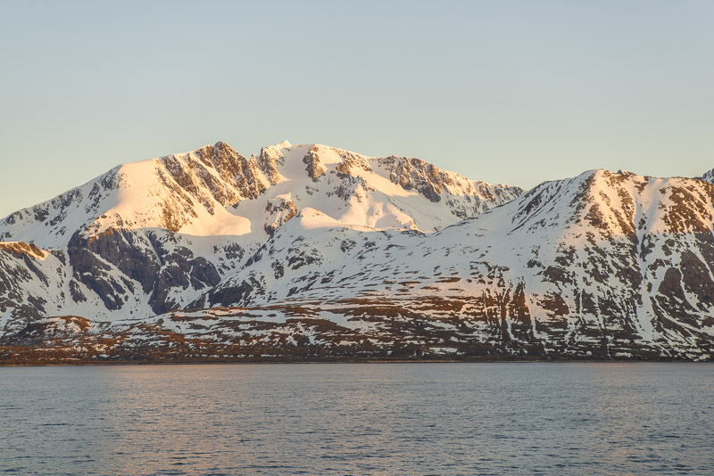
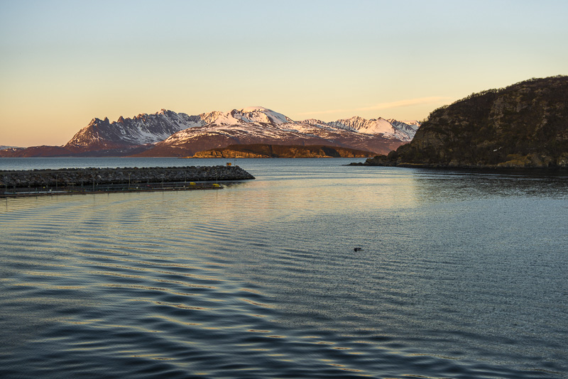
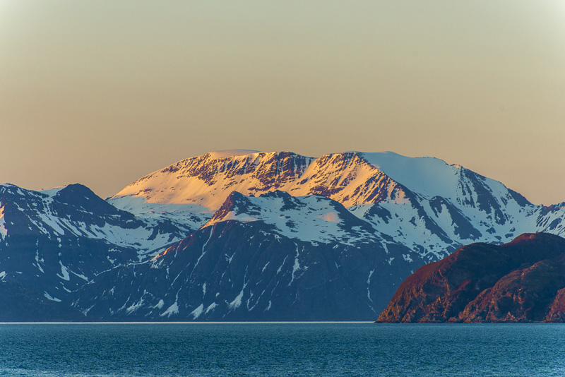
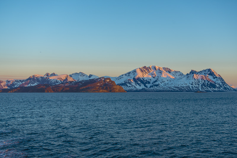
Behind the narrow and low headland, the island of Grytøya can be seen, with montains more than 1.000 m asl. In the forground to the left the Trondenes church.
To the opposite side, the view goes over the Vågsfjorden to the island of Rolla, with mountains above 1.000 m too.
Harstad, Grytøya, to the right on the peninsula is the Trondenes church.
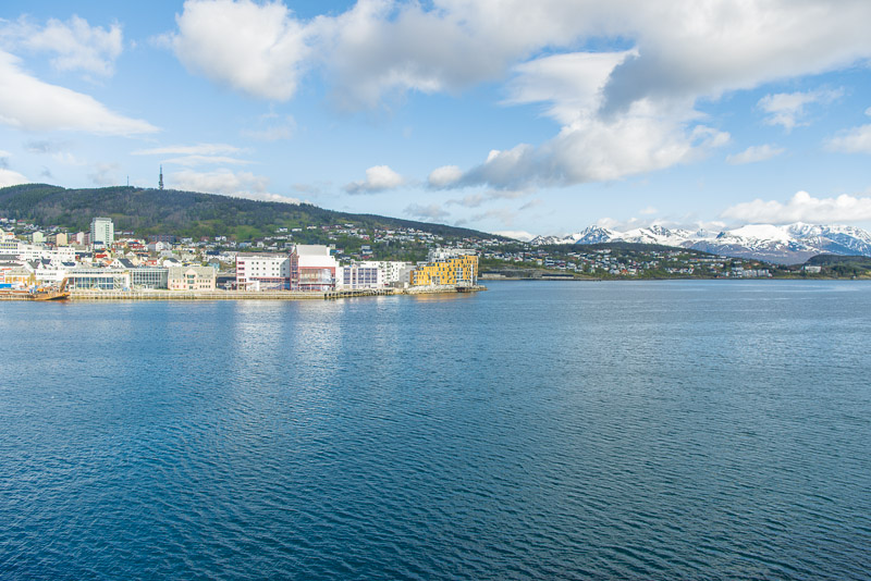
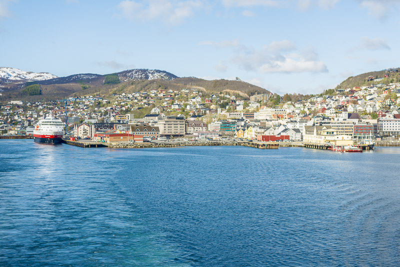
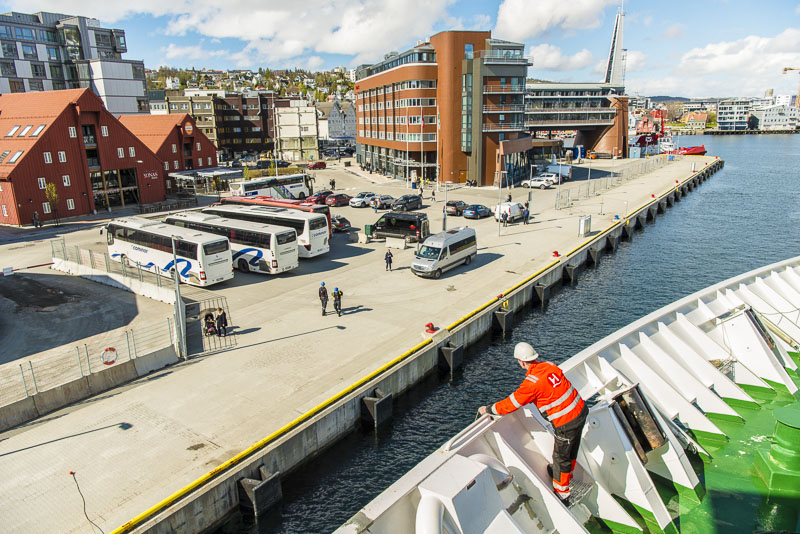
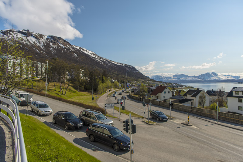
Harstad
Vi to theisland of Rolla and to the Skånland - mountains
An hour´s stay is sufficient for a short walk to the town.
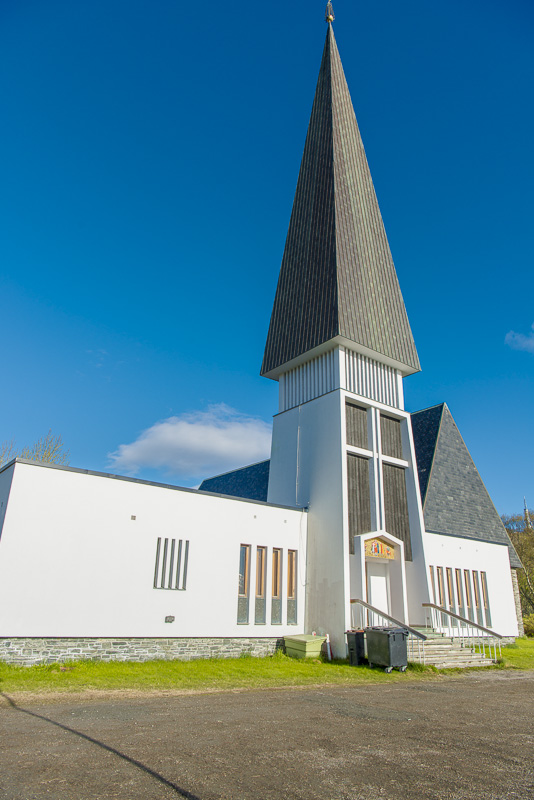
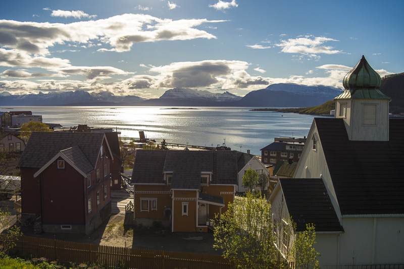
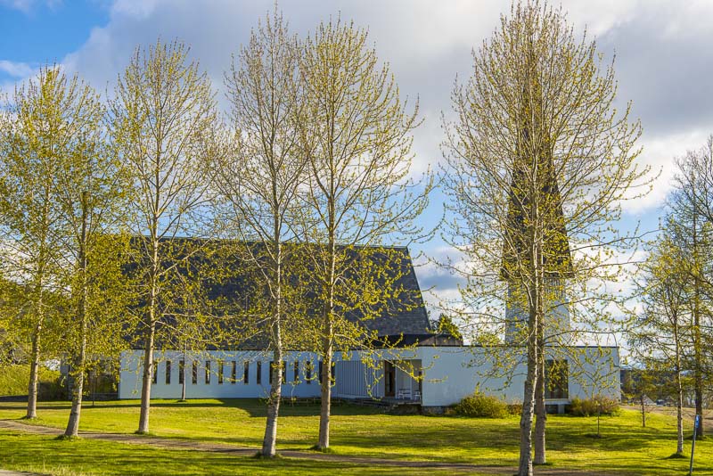
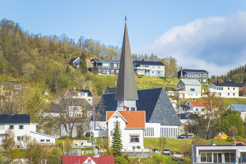
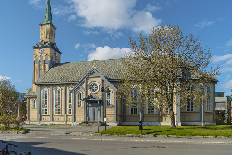
The new evangelical church.
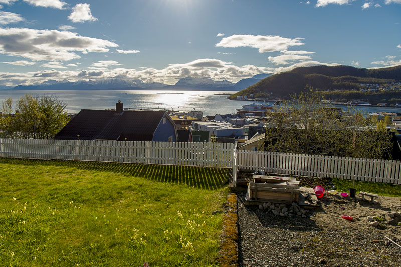
Great view over the fjord from here!
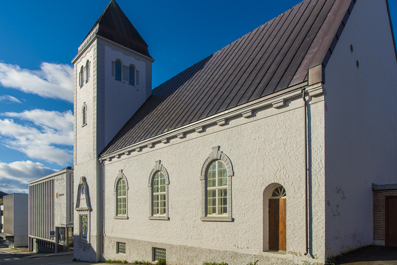
The old church in the centre of the town.
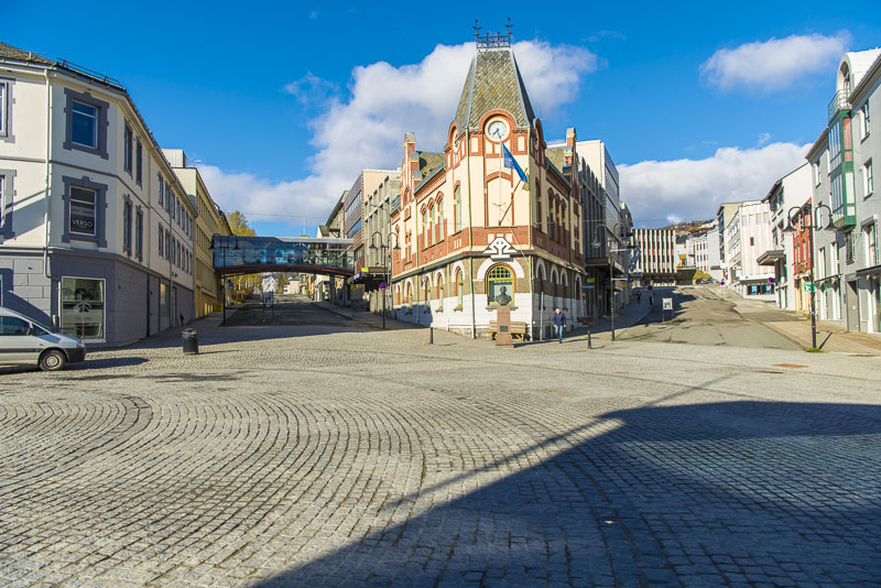
Pedestrian area.
And once more the view over the sea.
Back at the ship.
View from the boat to the new church.
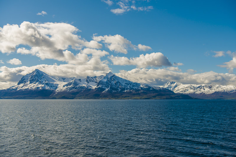
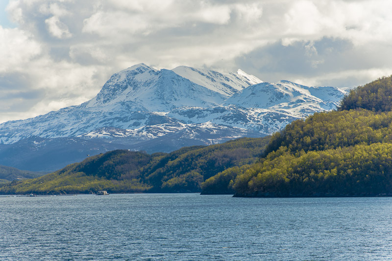
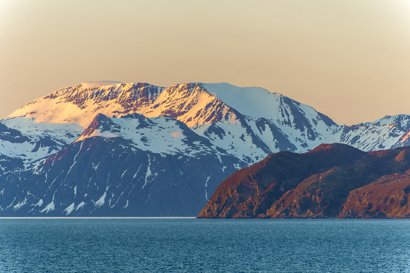
Zooming in on the island of Grytøya
Zooming in on the island of Grytøya
View to the east.
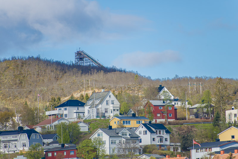
Ski jump above the town
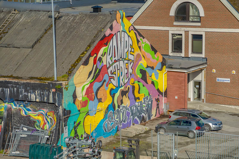
This wall got a painting permit.
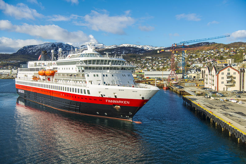
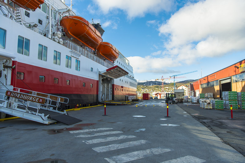
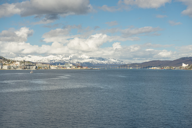
A second Hurtigruten ship is approaching - the MS Finnmarken.
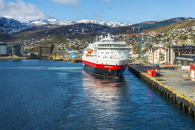
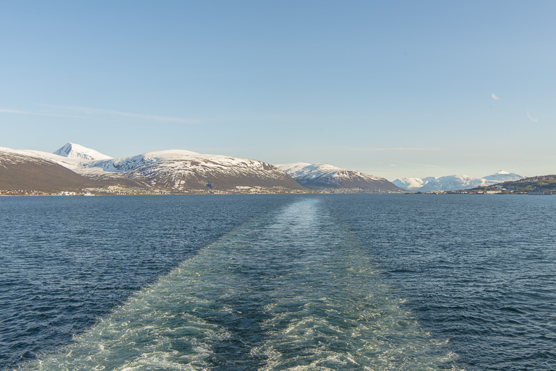
At the same time, we leave.
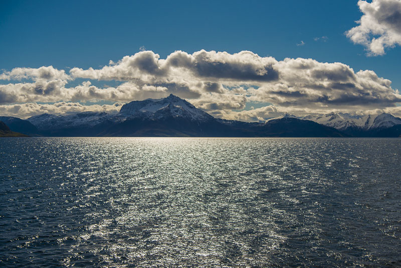
View back to Harstad ...
... and the outlook to the Northwest
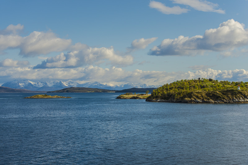
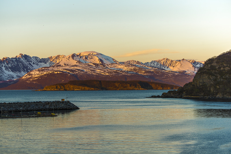
Grytøya and the Trondenes church.
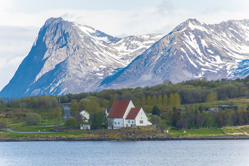
The Trondenes church is the northernmost of the medevian stone churches of Norway.
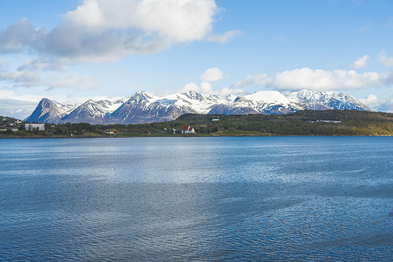
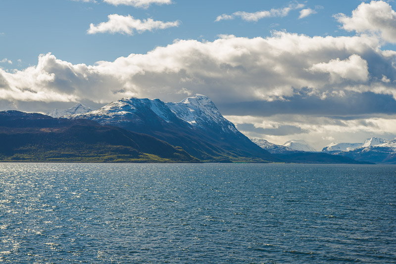
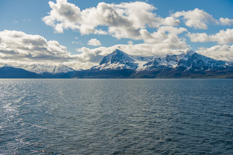
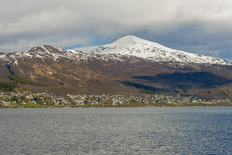
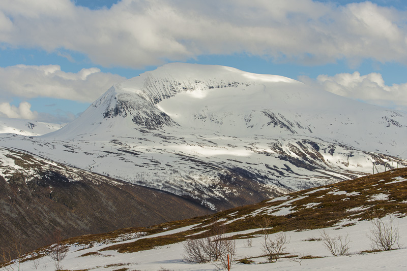
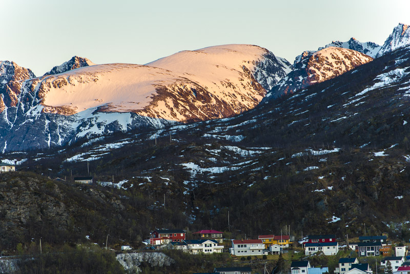
Harstad, with the Sollifjellet (567 m) in behind, there is a ski lift in the winter.
Leaving thew harbor.
Wherever you look: mountains, snow, water.
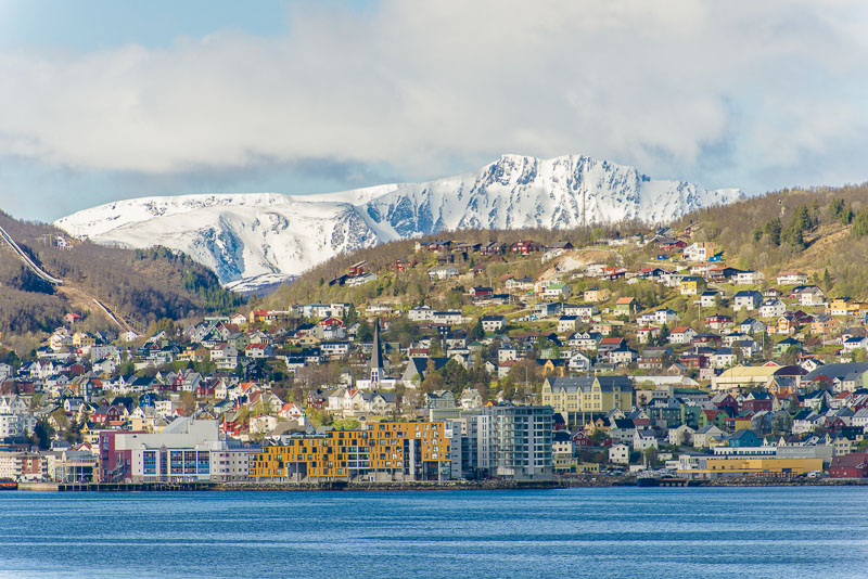
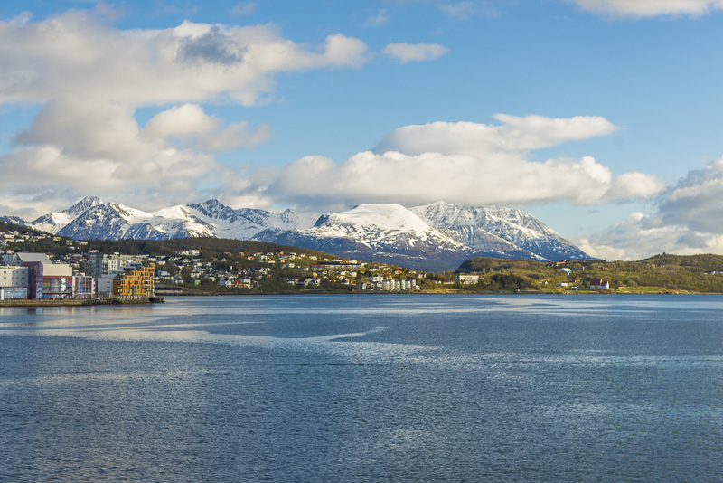
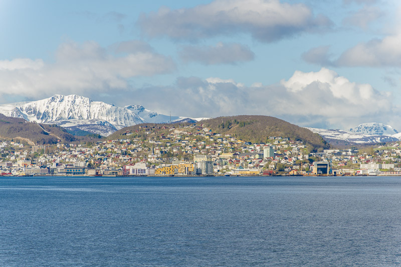
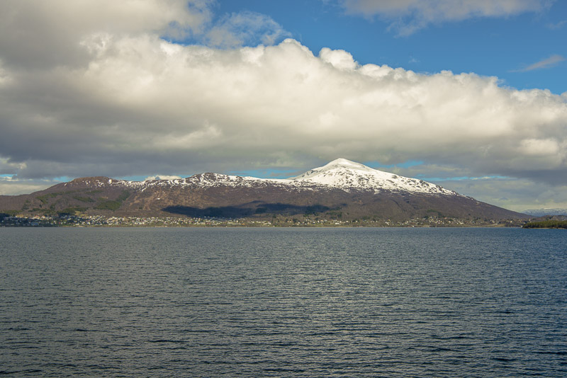
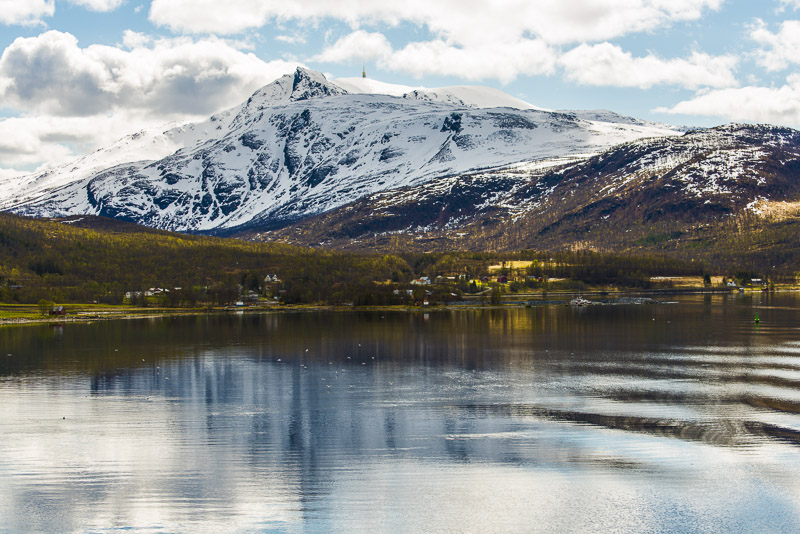
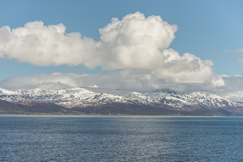
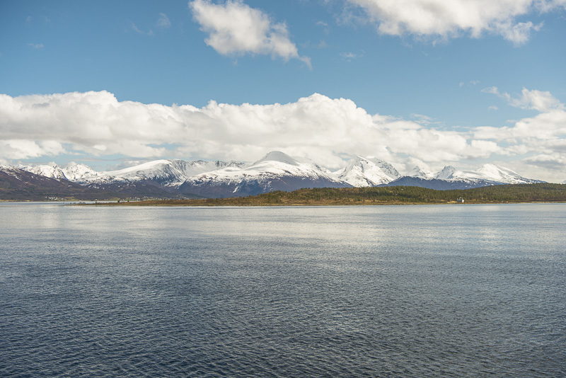
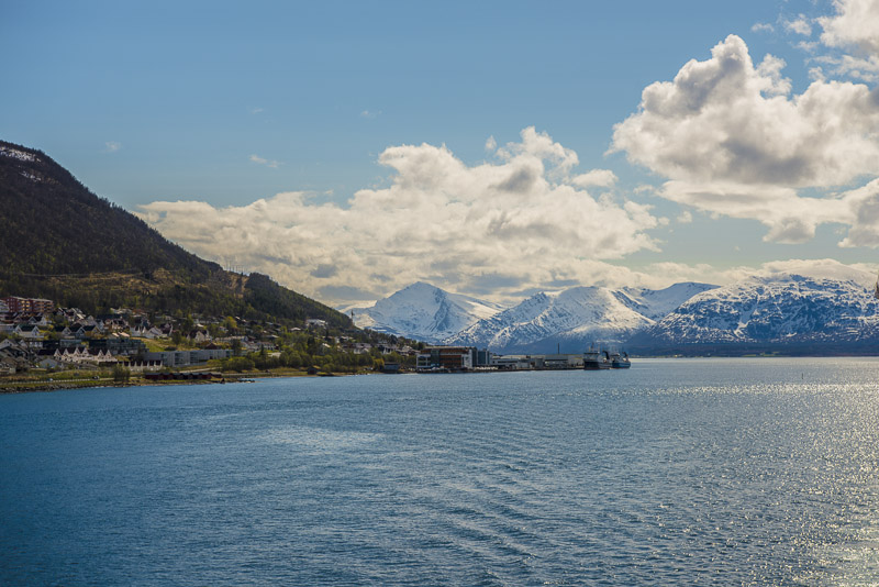
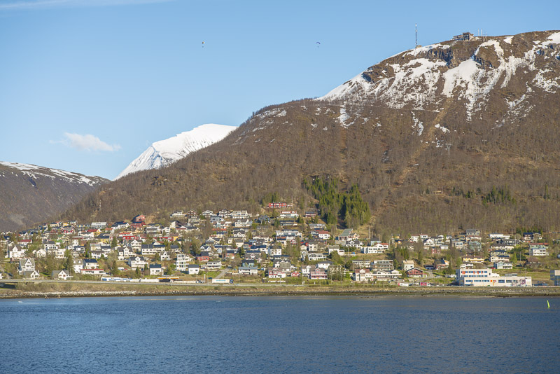
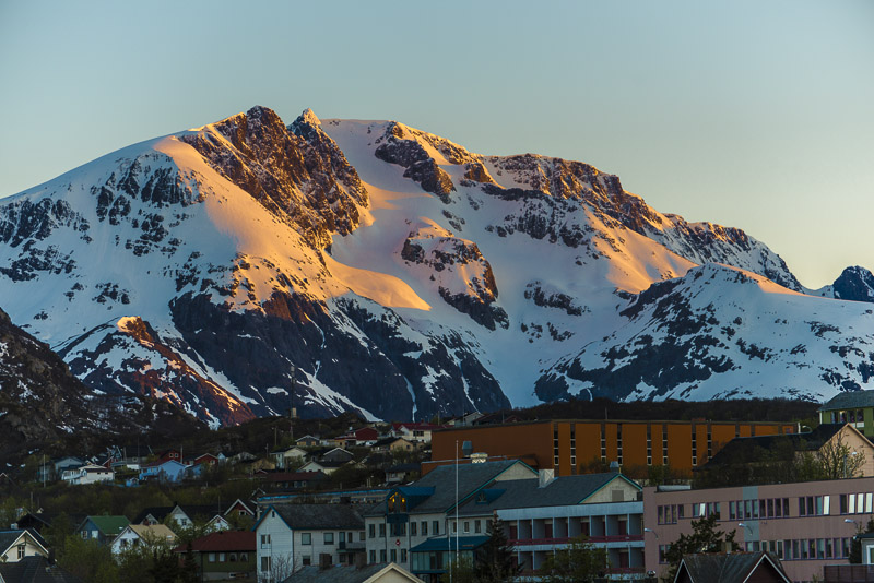
Harstad fromoafar, with the Middagstfjellet in behind.
Grytøya
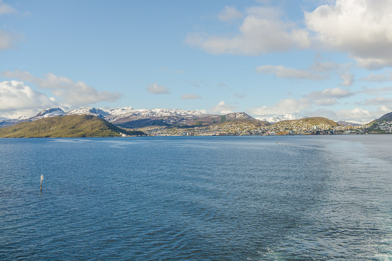
Harstad, with Middagstfjellet in behind.
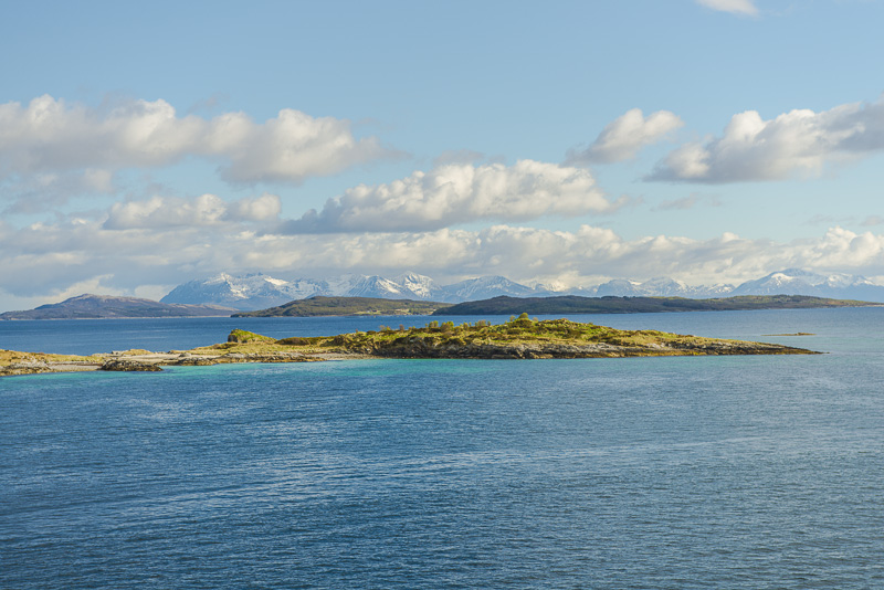
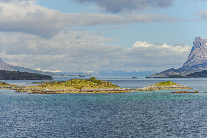
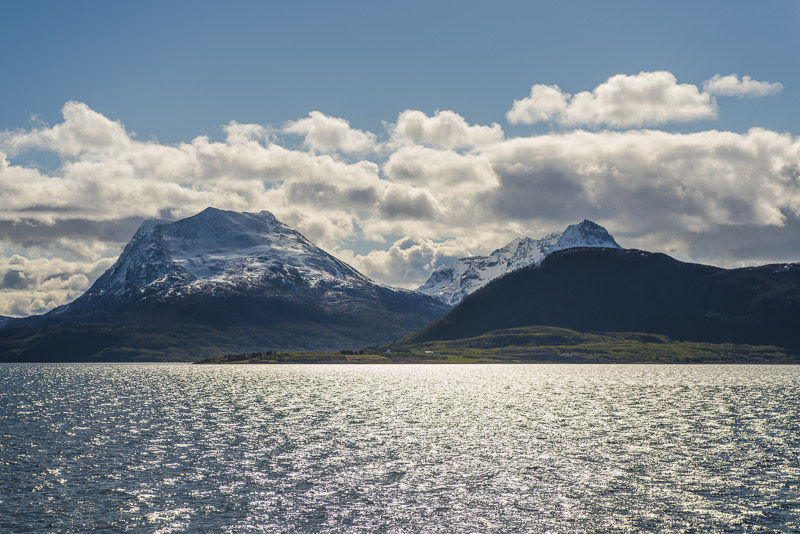
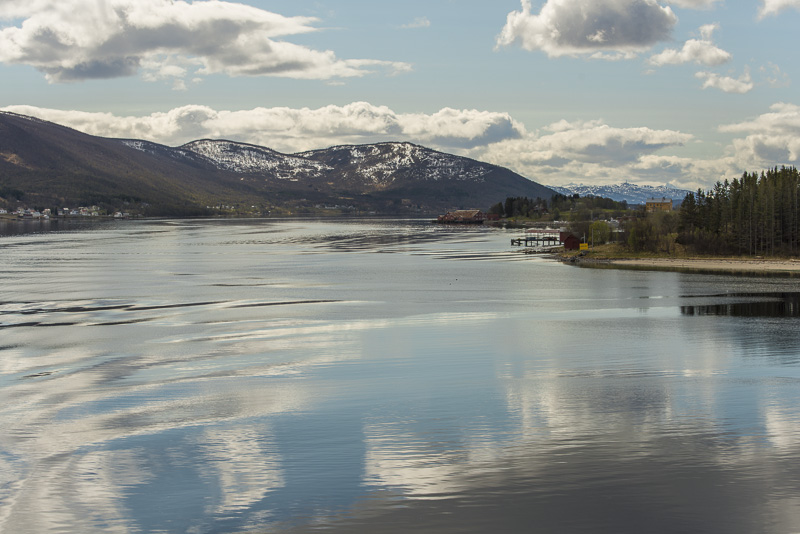
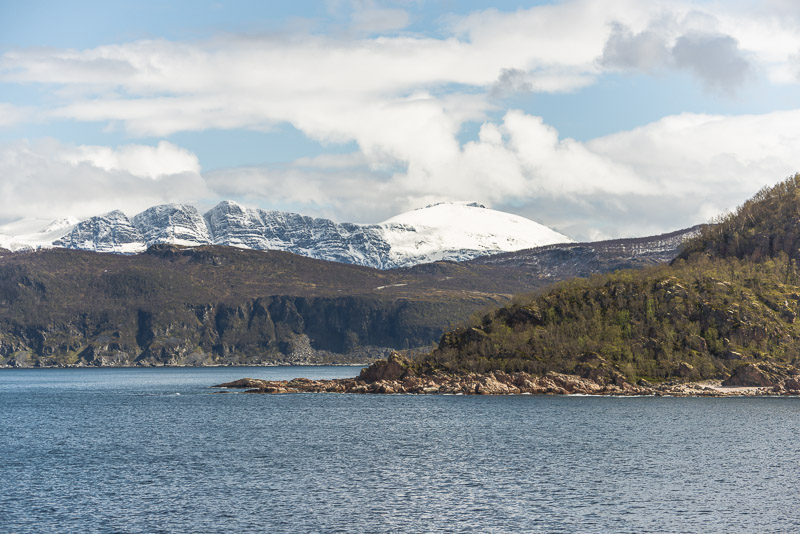
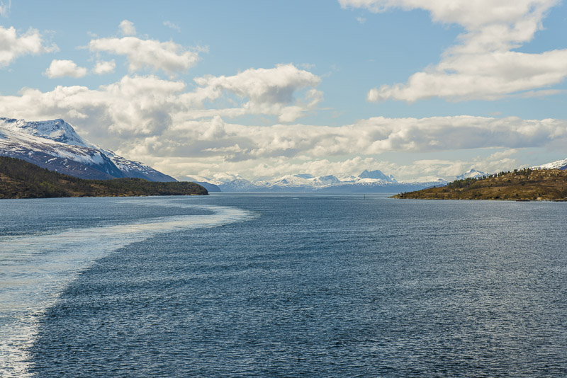
Leaving the fjord (sound), skerries.
Grytøya
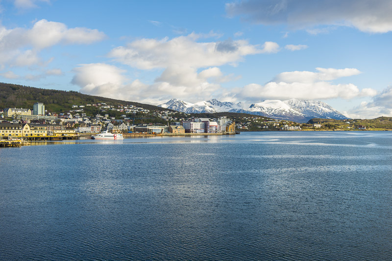
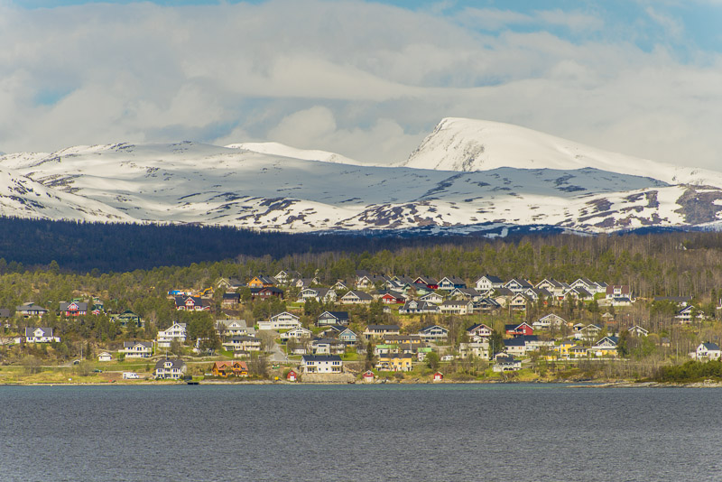
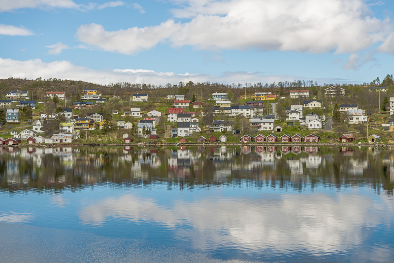
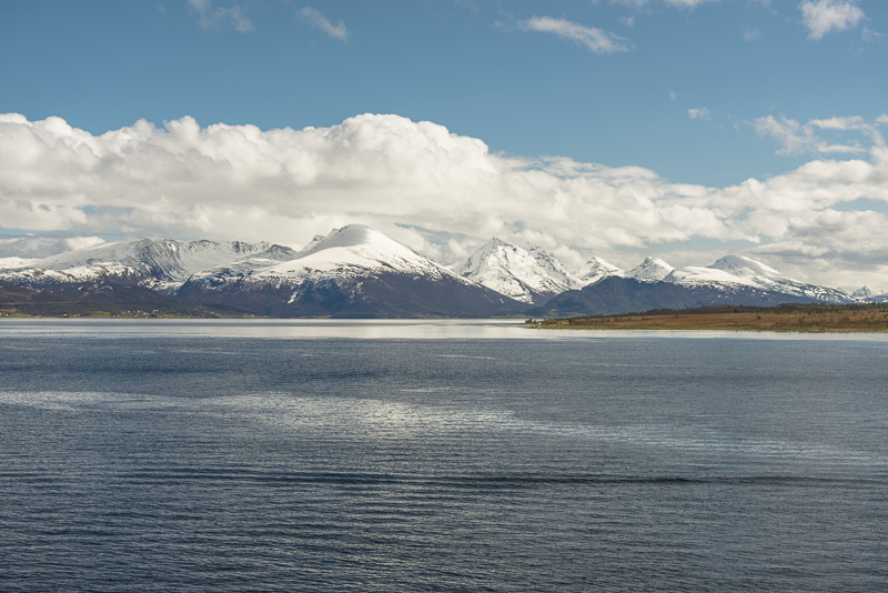
Harstad
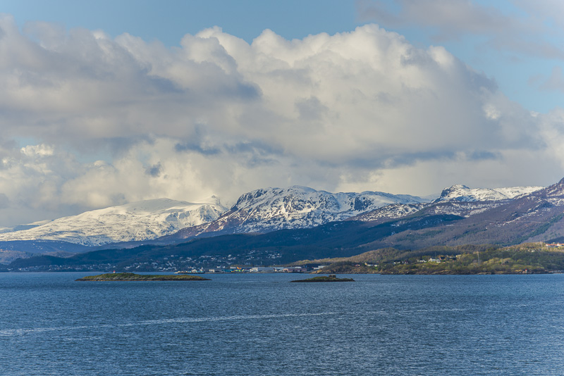
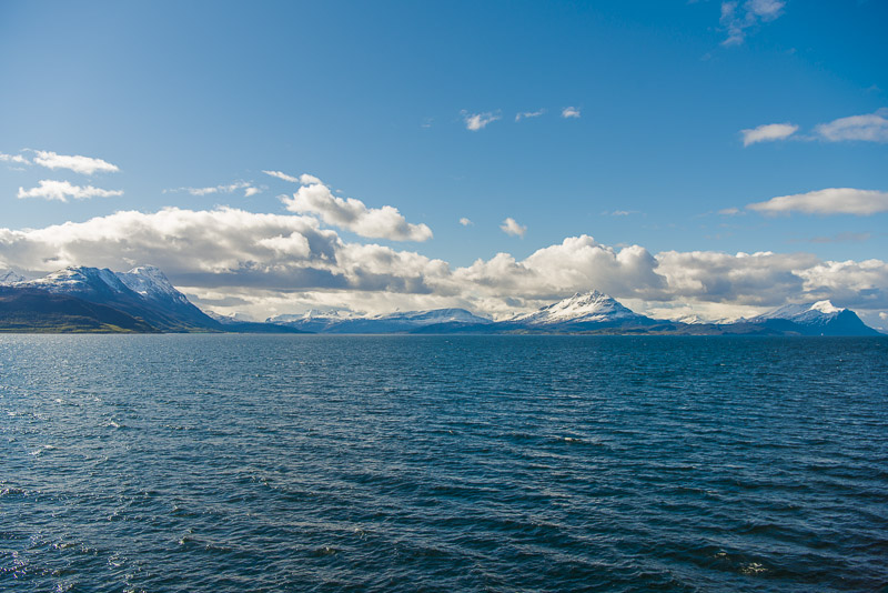
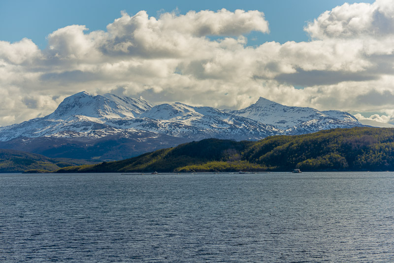
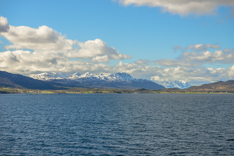
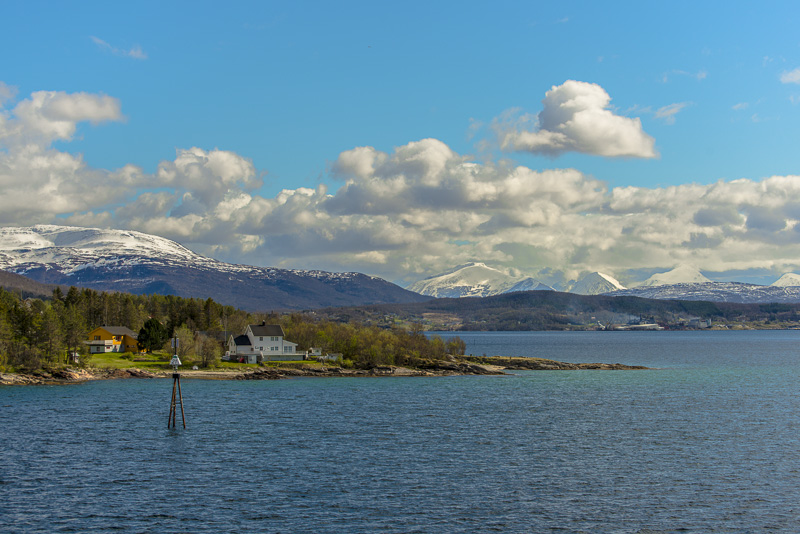
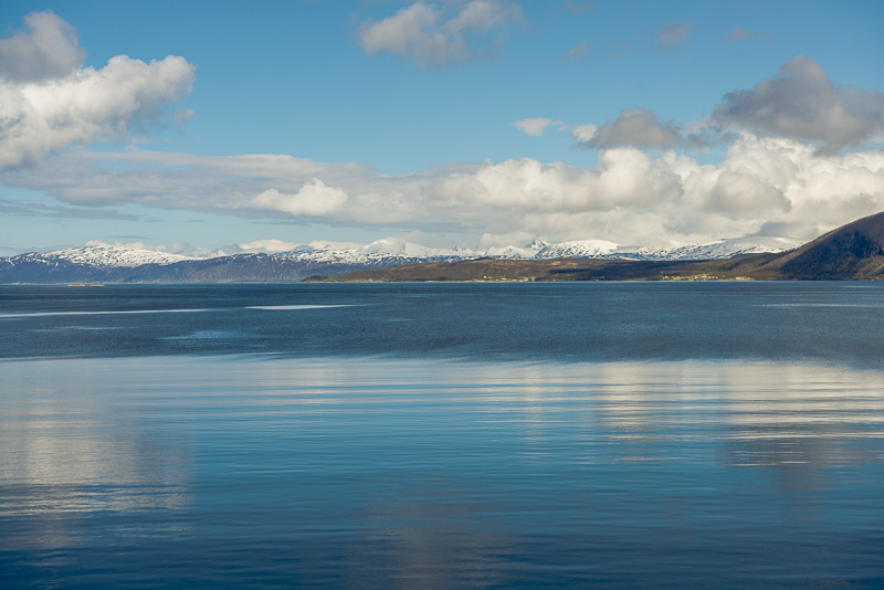
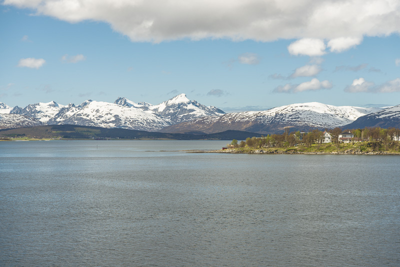
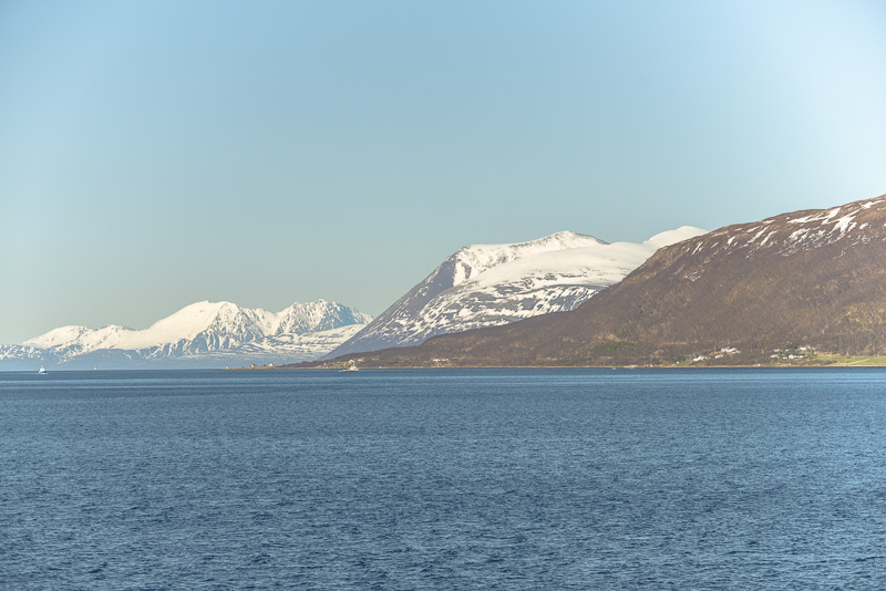
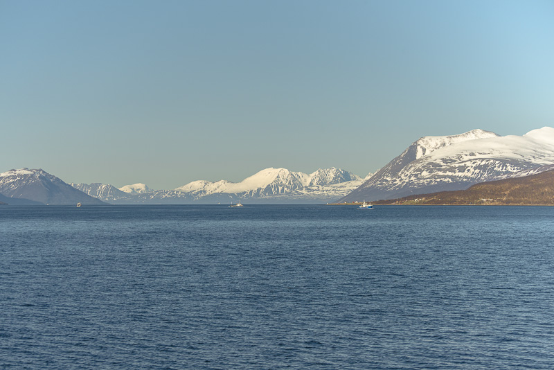
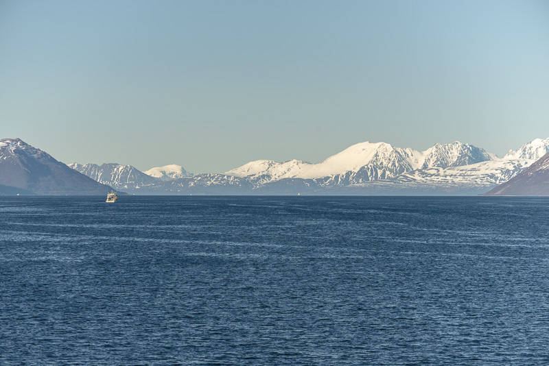
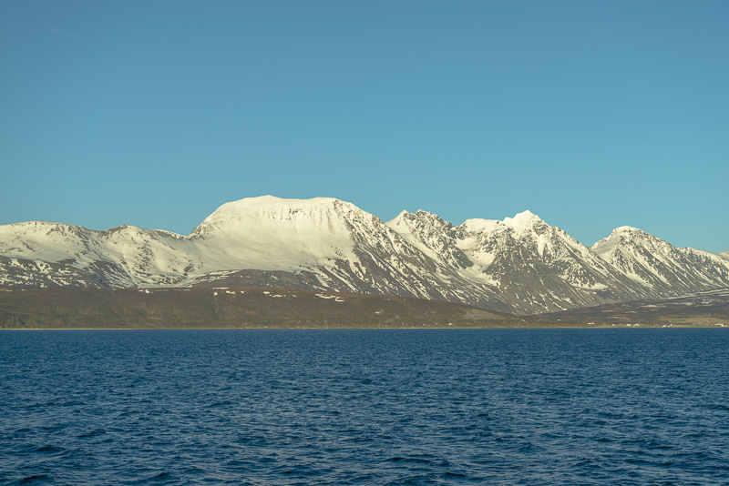
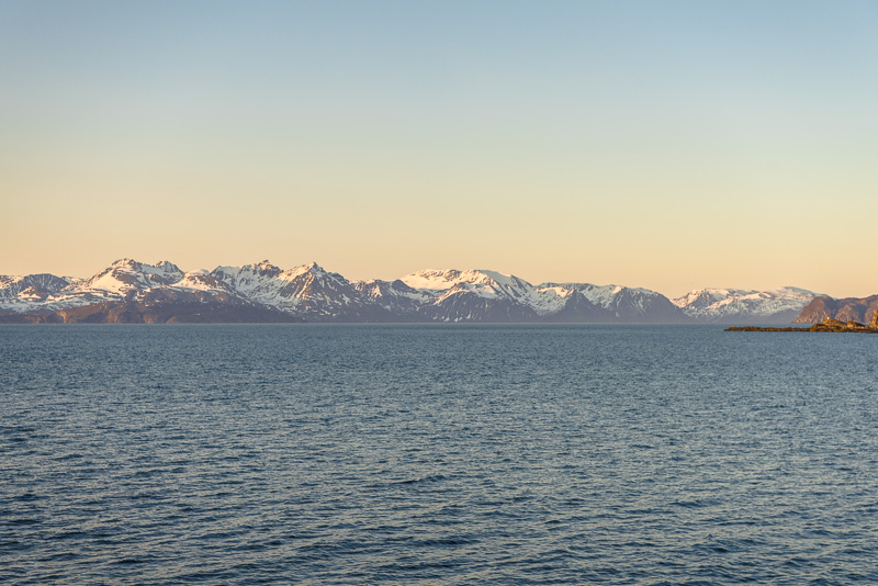
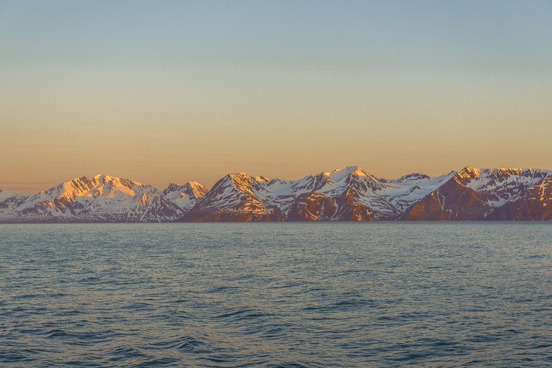
Behind the sound, in the distance the mountains of the island of Andøya.
The island of Rolla ...
... and the island of Andørya (hope this is right!)
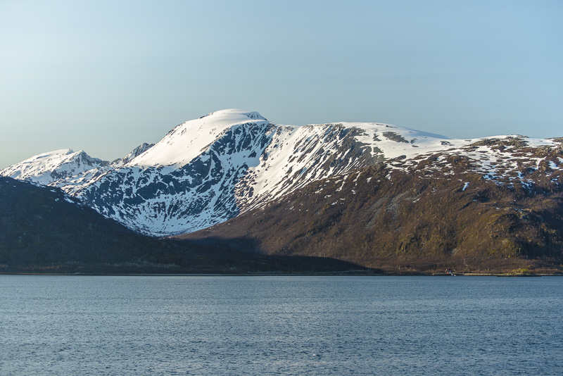
Andørya (connected to rolla by a tunnel and to the mainland by a bridge)
Andørya, Rolla
Andørya
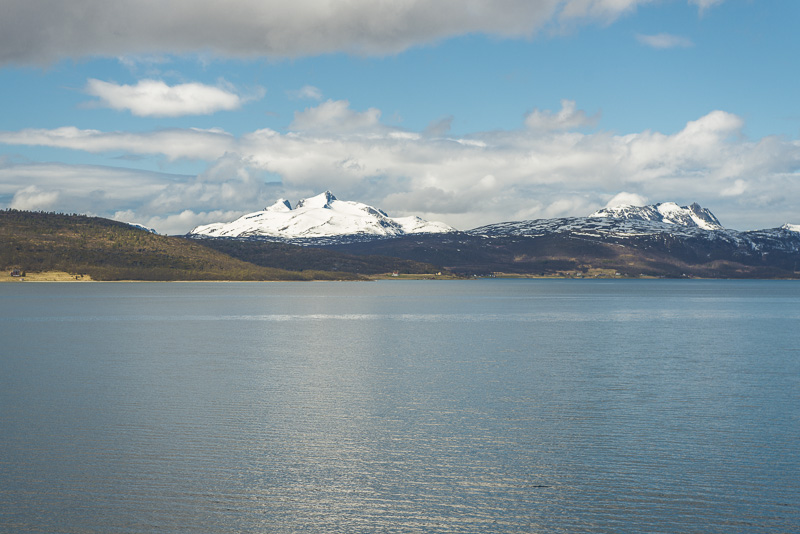
High mountains far east ...
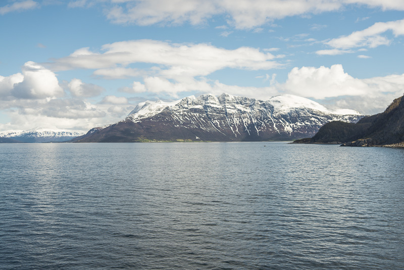
I cannot identify these mountains.
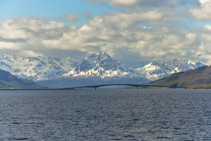
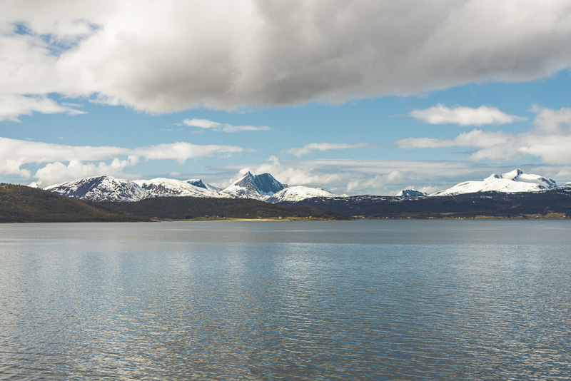
This seems to be the bridge over the Dyrøy sound , to its rigth the island of Dyrøya.
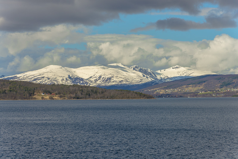
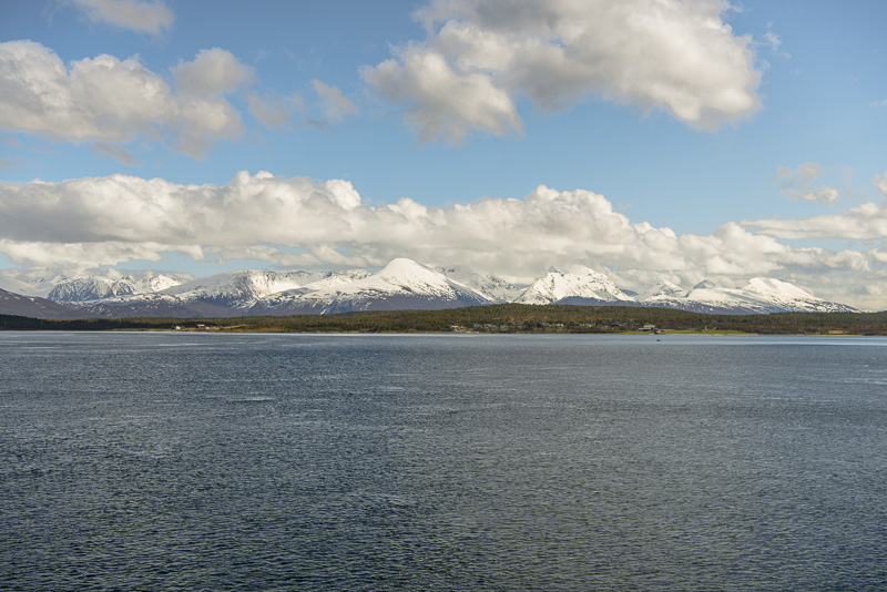
Mountains more than 1.200 m high - I canot differentiate them ...
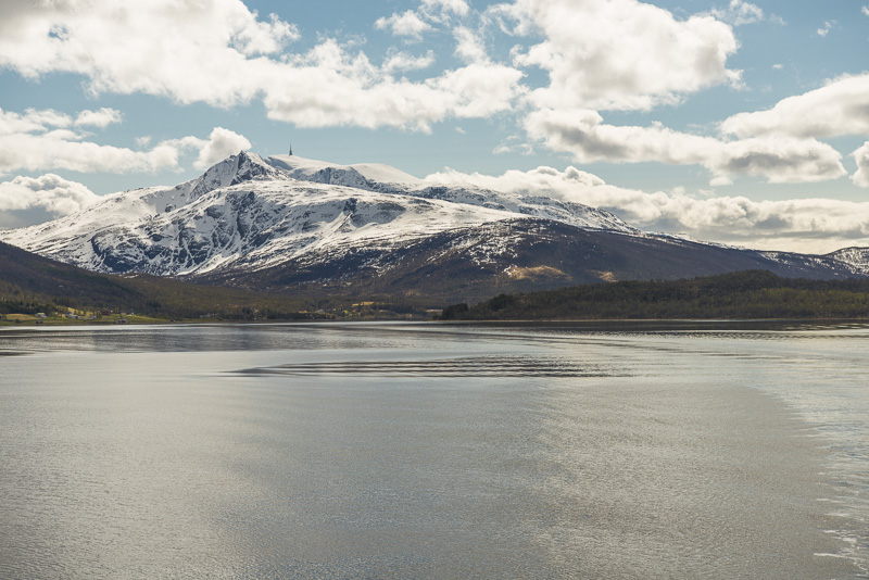
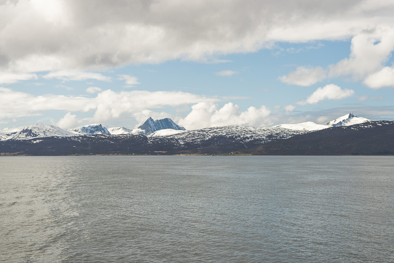
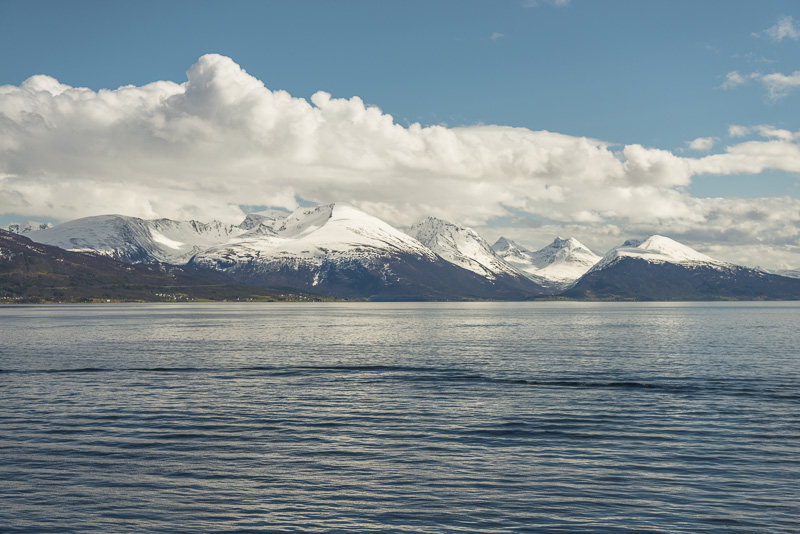
Approaching Finnsnes - so this should be Børingstinden (1.073 m)
And, behind the sound, mountains of the island of Andørya, Årbostadtinden (1.179 m)
Årbostadtinden (1.179 m), to theleft if Langlitinden (1.276 m)
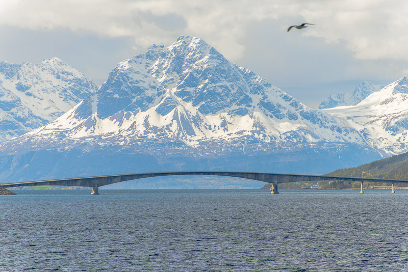
Årbostadtinden (1.179 m)
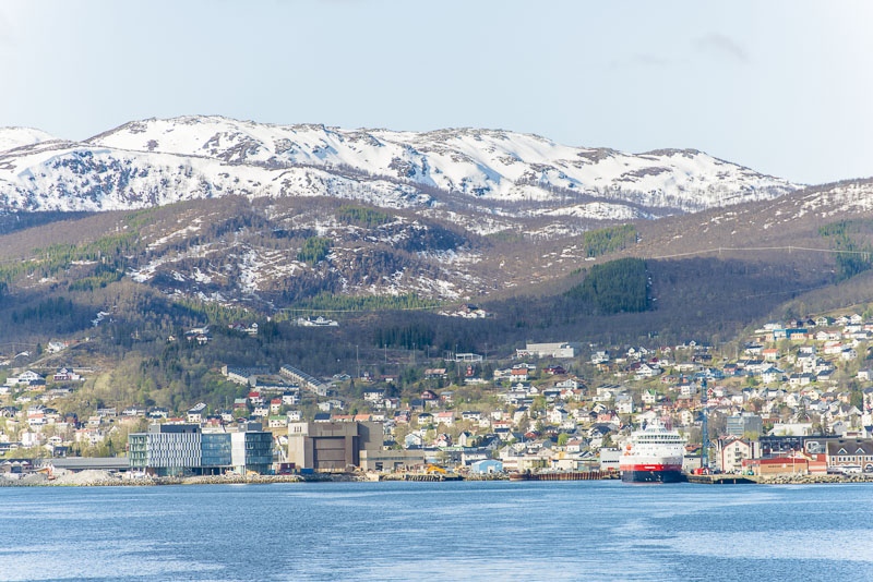
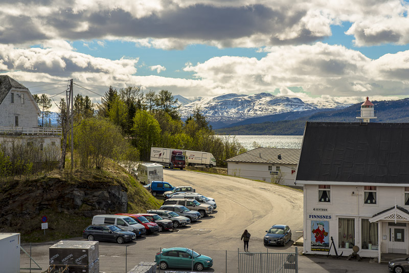
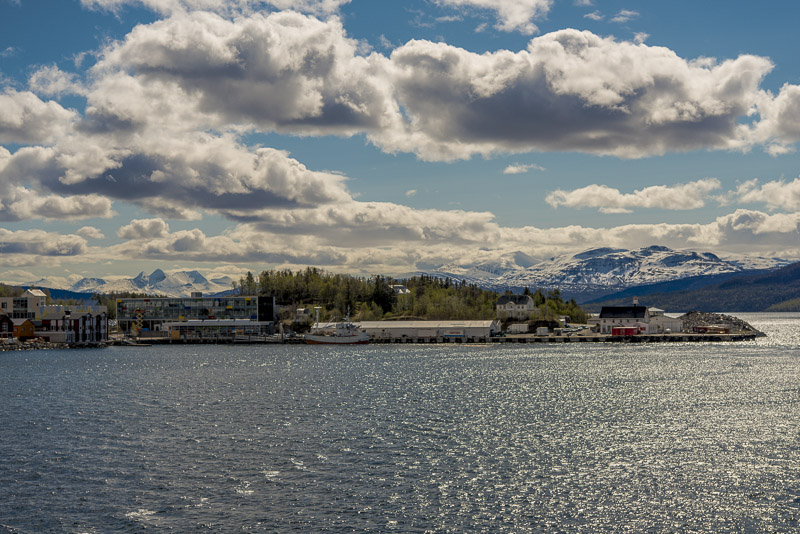
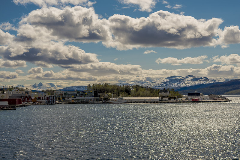
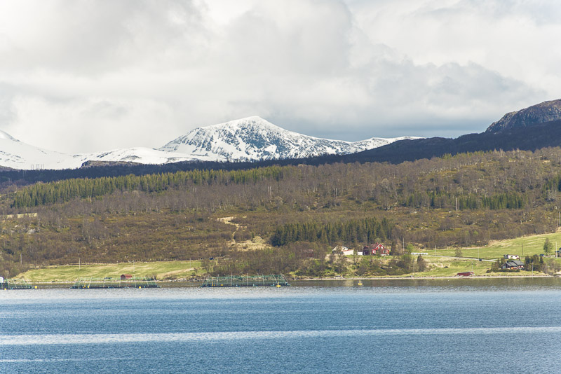
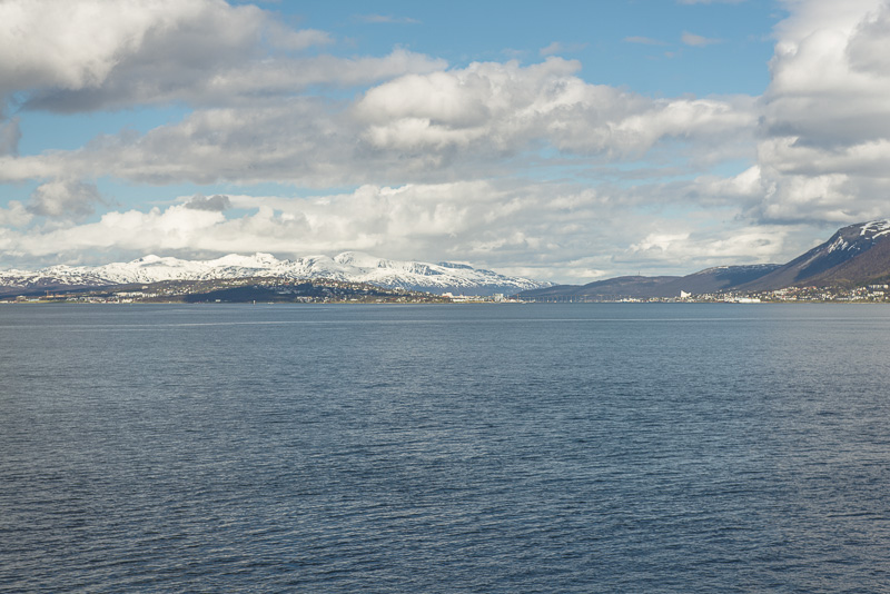
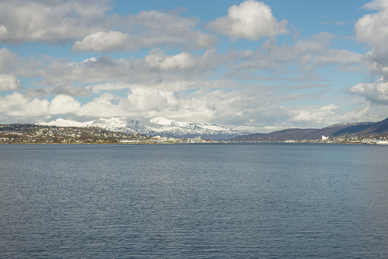
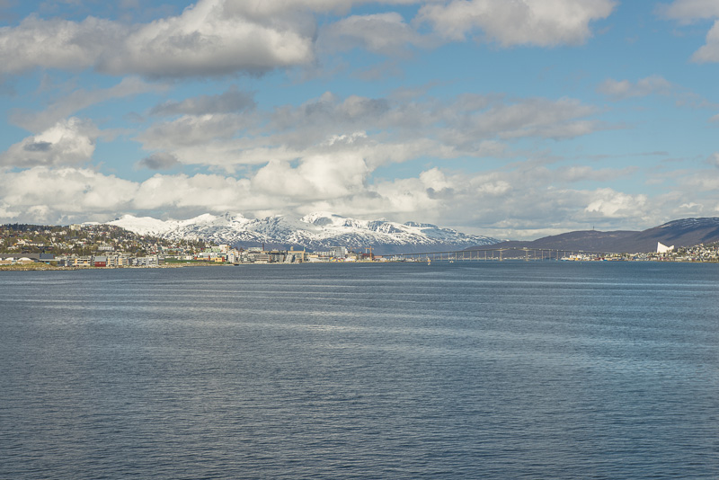
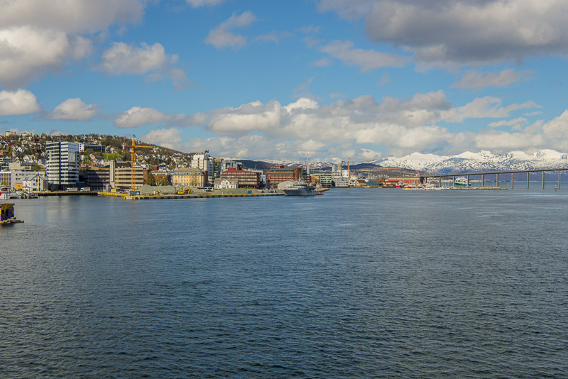
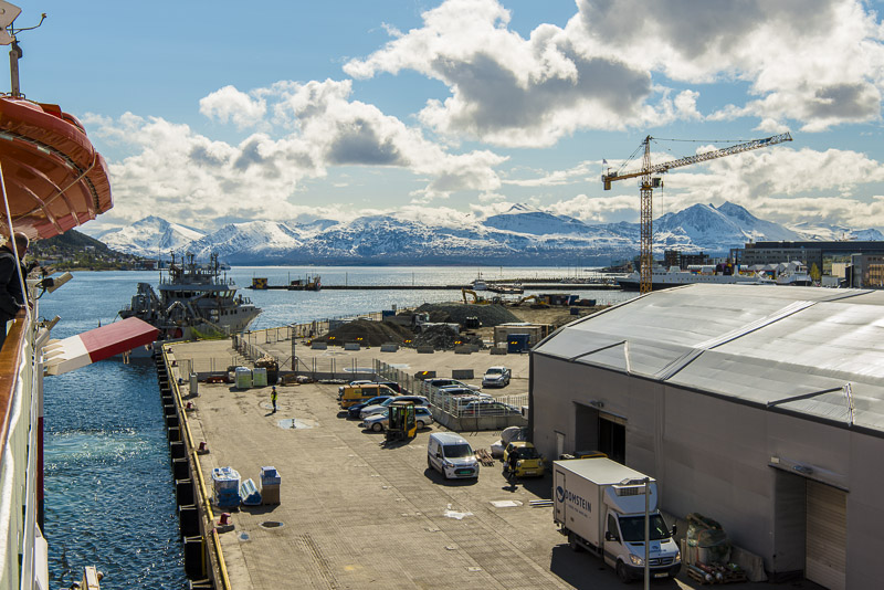
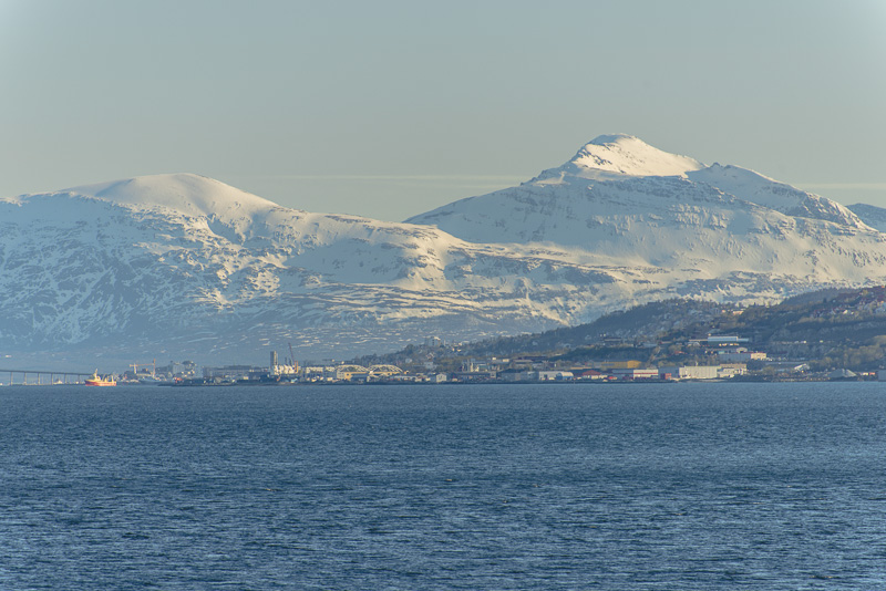
Approaching Finnsnes.
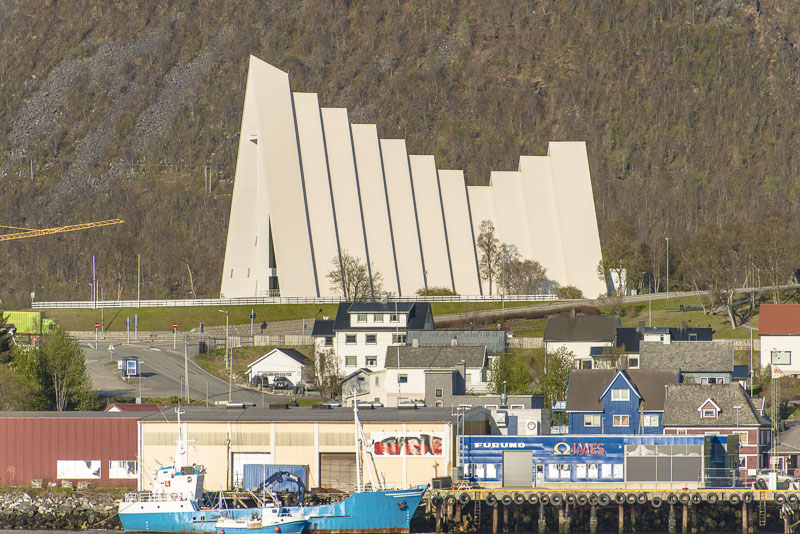
Finnsnes
Shortly we shall put on at Finnsnes.
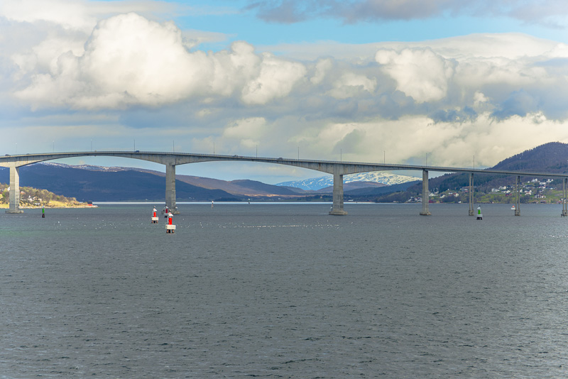
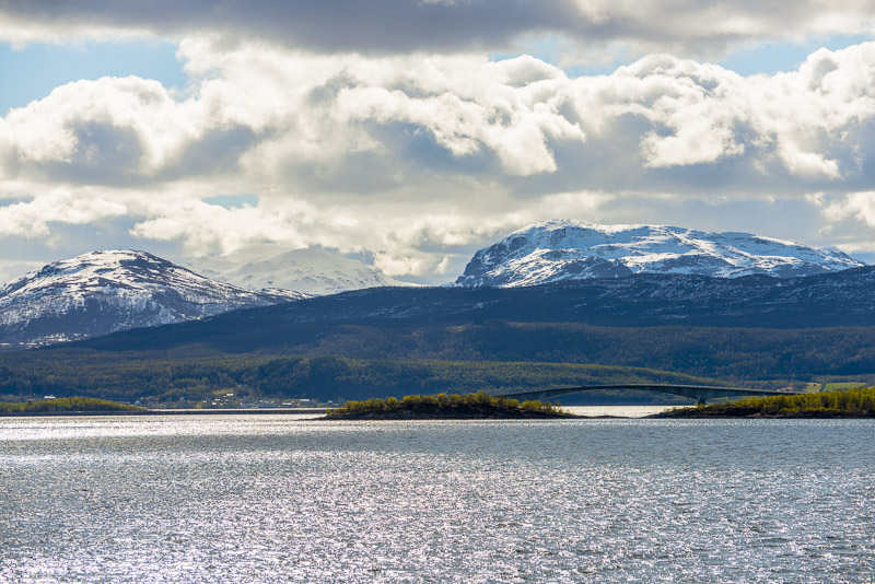
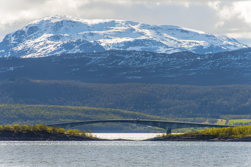
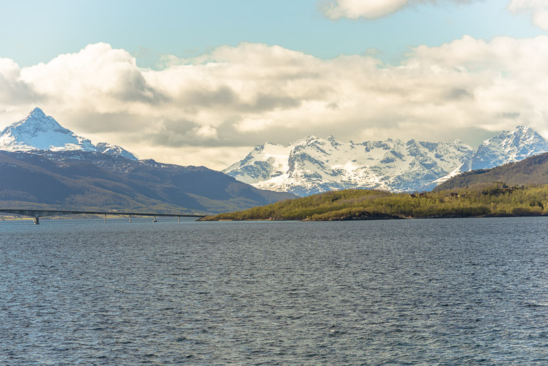
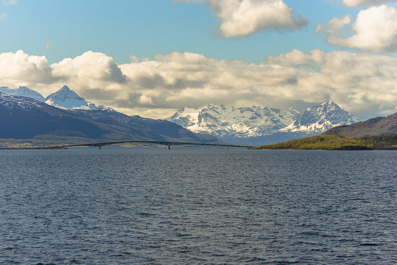
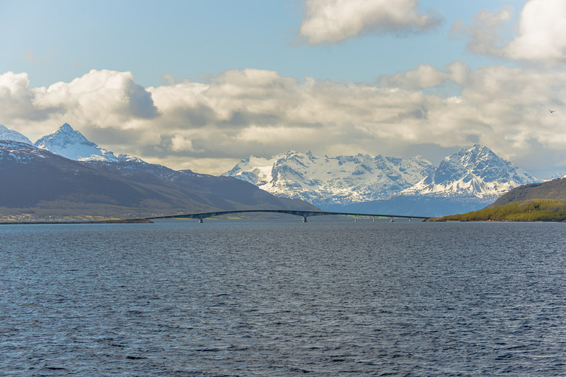
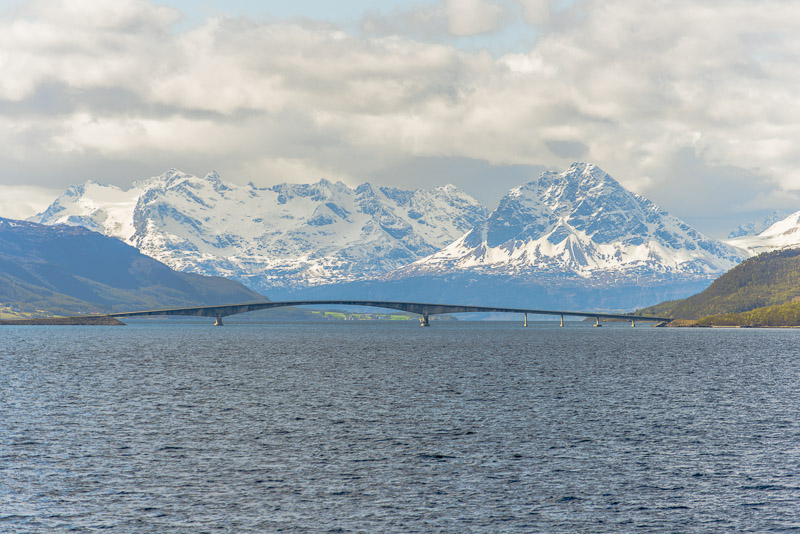
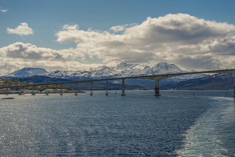
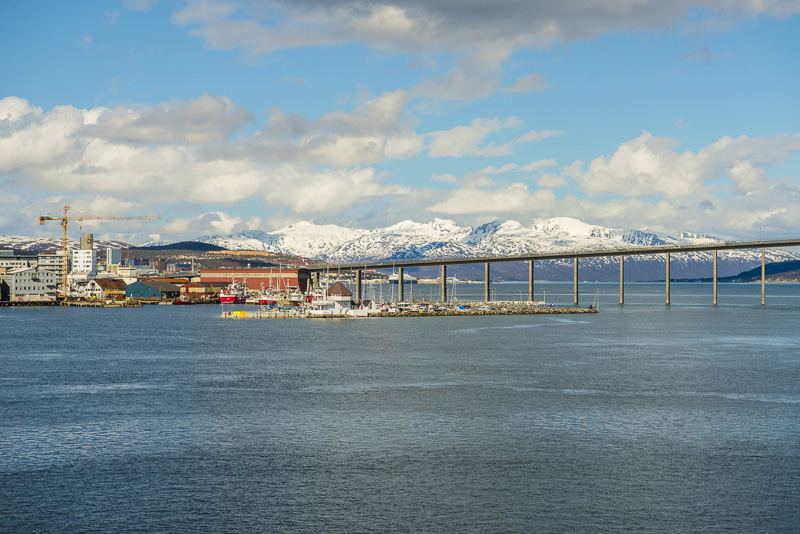
Gisund bridge connecting the island of Senja with the mainland.
View back
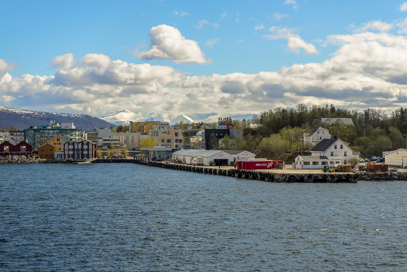
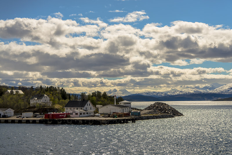
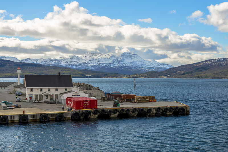
The jetty at Finnsnes
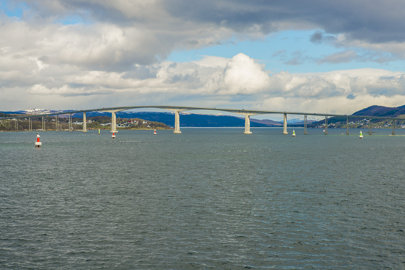
Gisund bridge
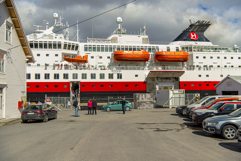
Only half an hour, but I decide to leave the ship on such a beautiful day.
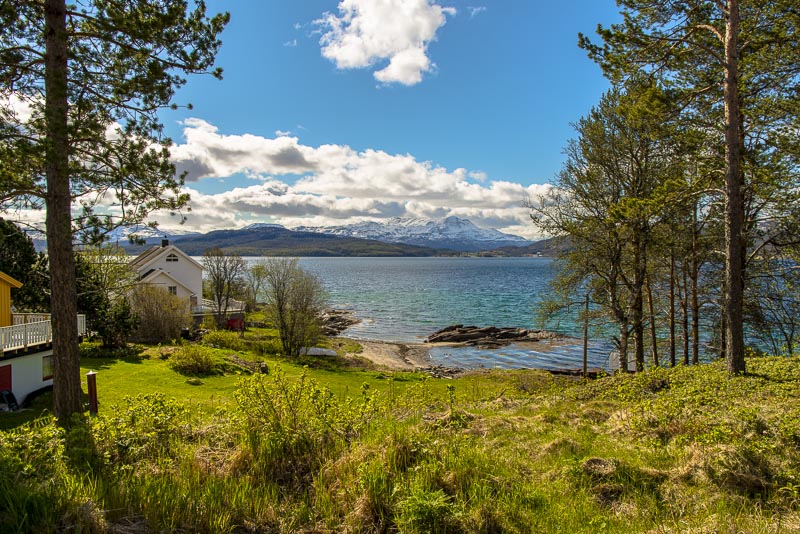
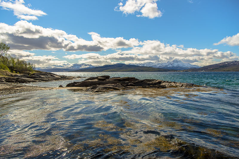
To find theis beautiful coastline in close proximity to the harbour
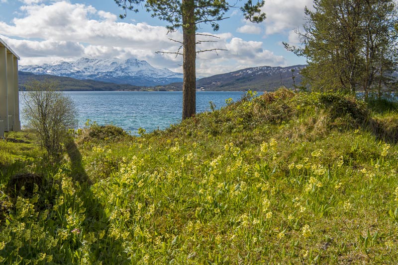
Countless Cowslips.
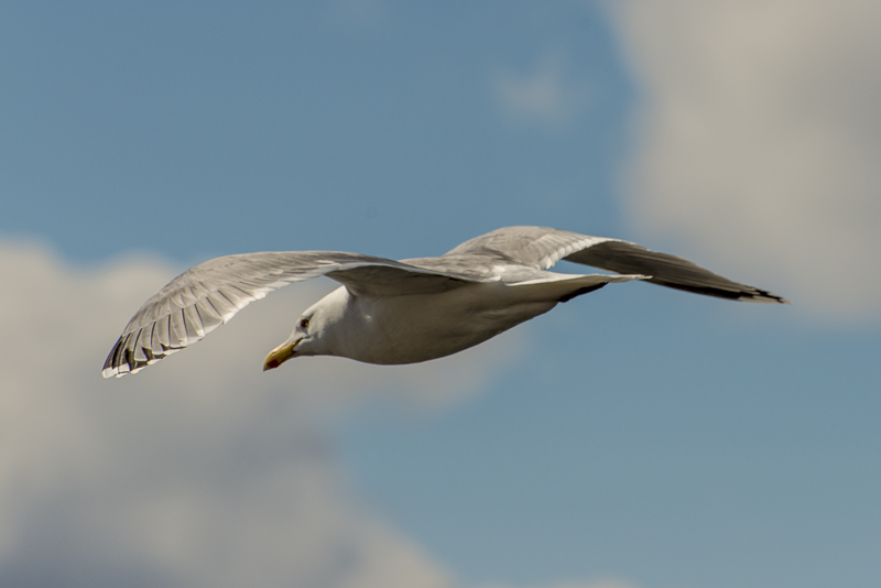
Seagull flying over a waste hip..
Back at the ship.
Departure.
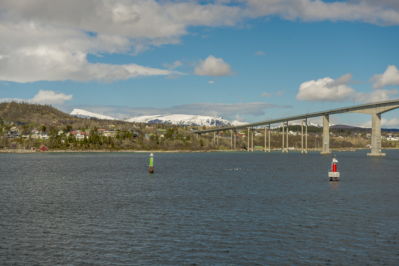
Crossing beneath the Gisund bridge heading for North.

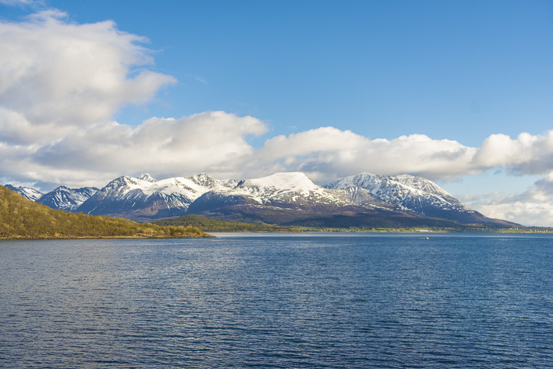
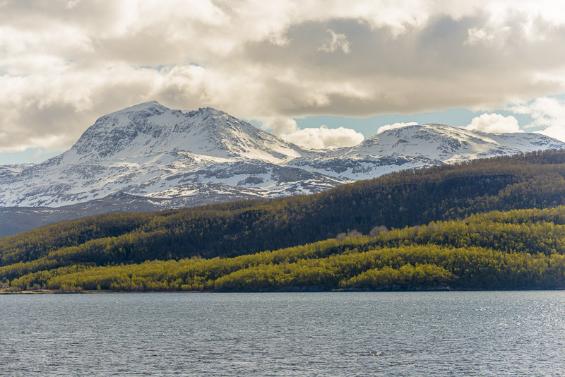
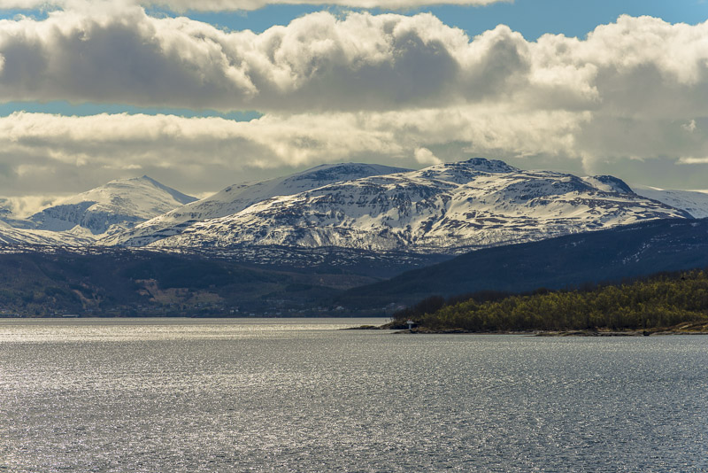
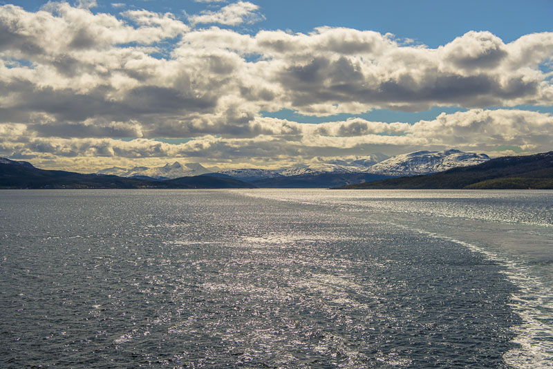
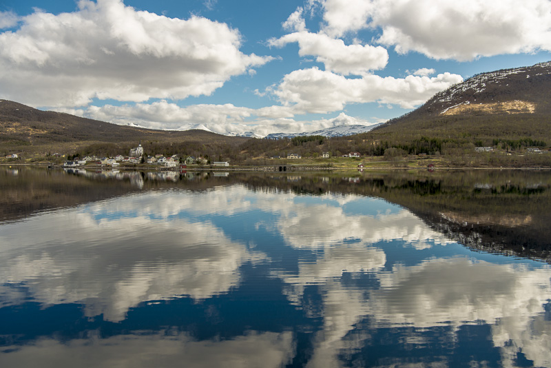
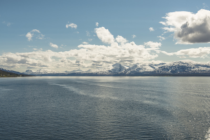
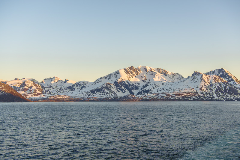
The water is now extremely smoothTo the west in the distance the mountains on the island of Senja.
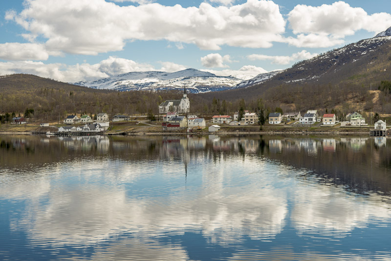
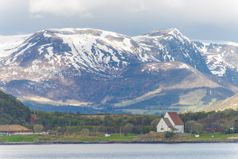
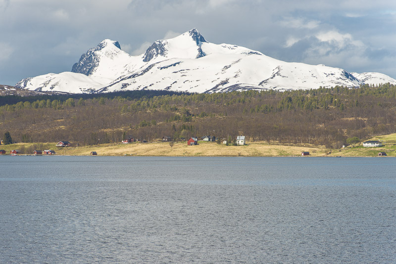
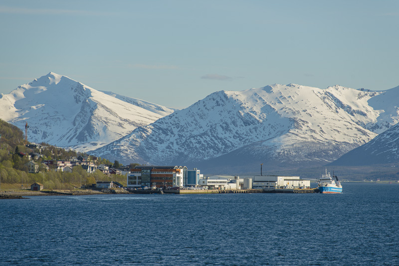
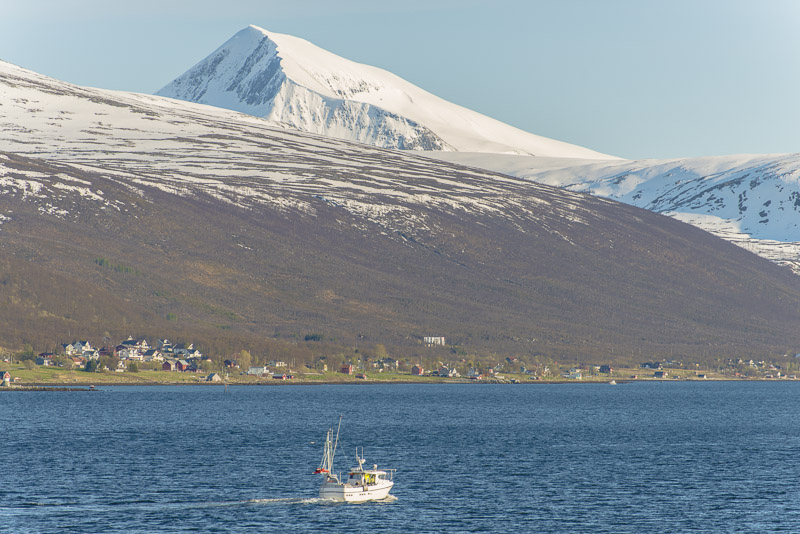
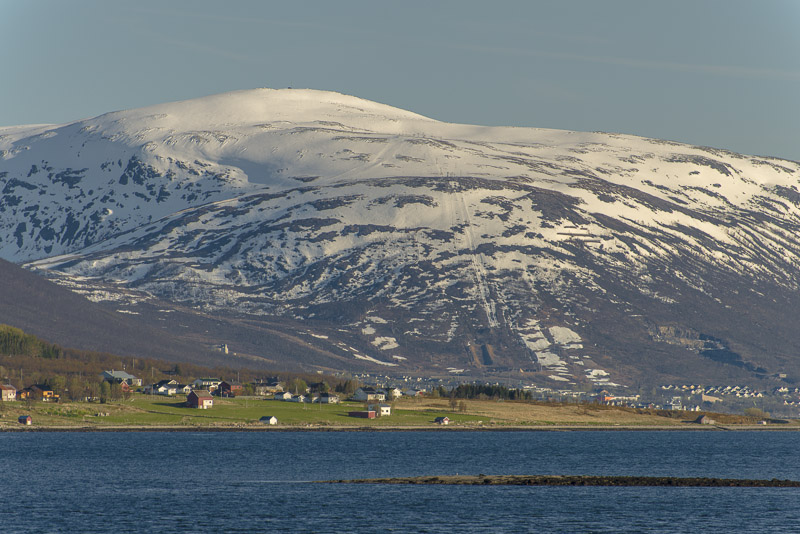
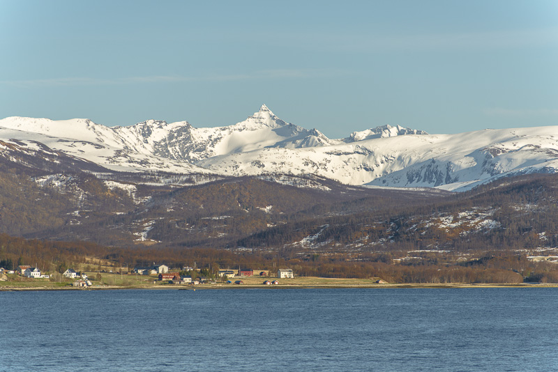
This should be the little village of Bjorelvnes, with the Fagerfjellet (894 m) in behind.
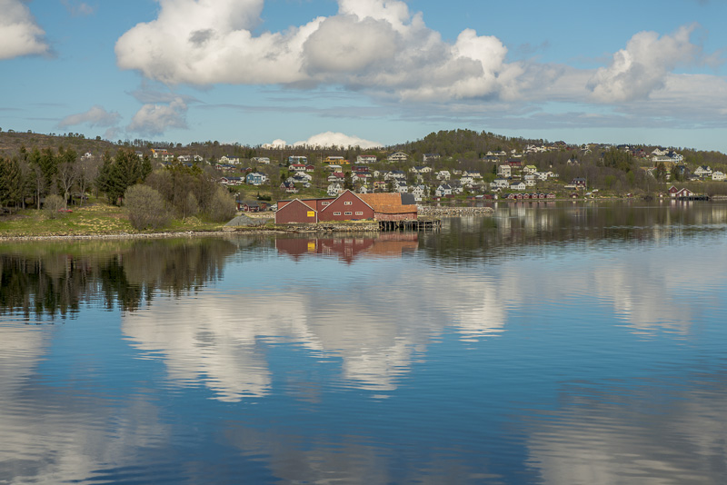
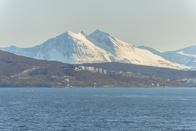
Old trading point at Gbostad on the island of Selja
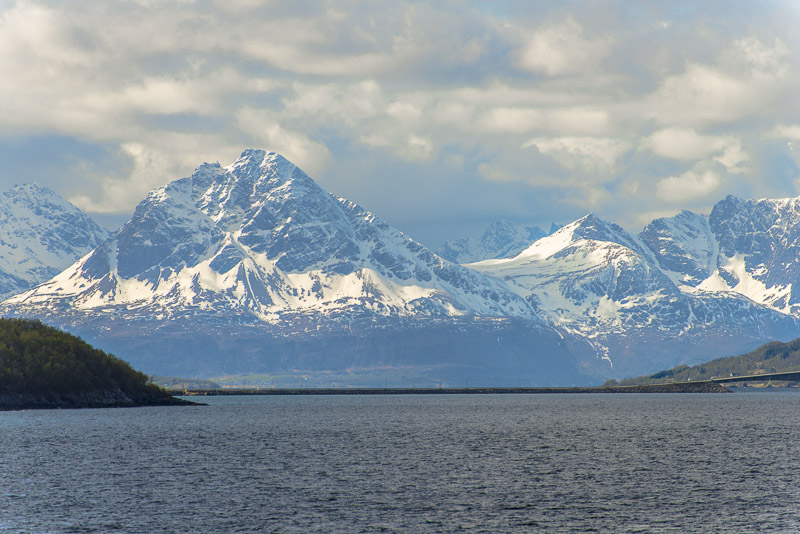
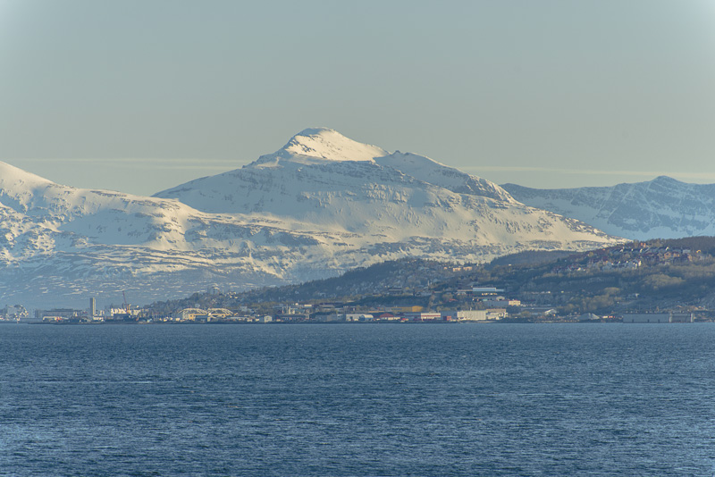
Kistefjellet (1.003 m) with the TV transponder on the summit (thus easy to identify!)
Mountains of Selja
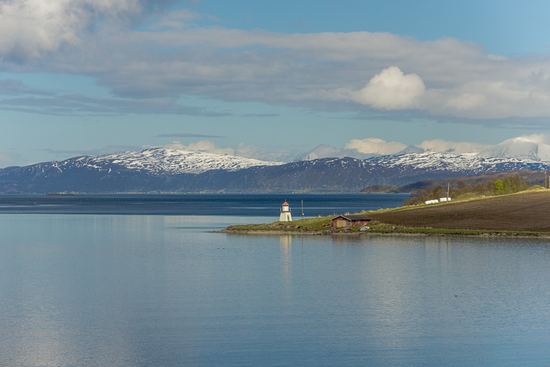
Slettneset lighthouse
Selja
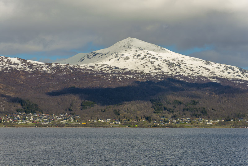
Kistefjellet (1.003 m)
Kistefjellet (1.003 m), now from a bit afar.
Mountains of Selja.
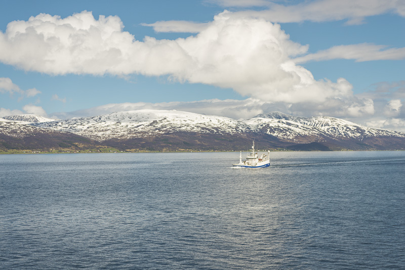
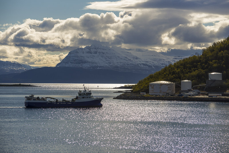
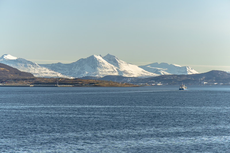
This ship seems to be overloaded ...
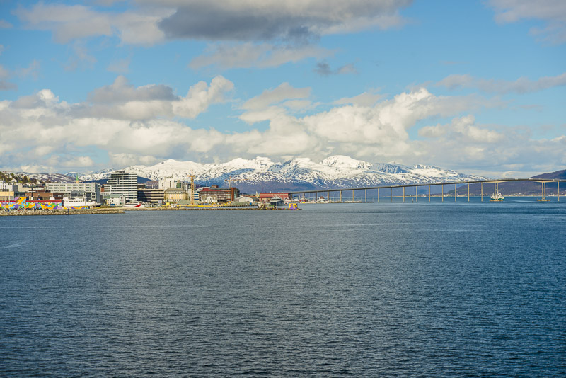
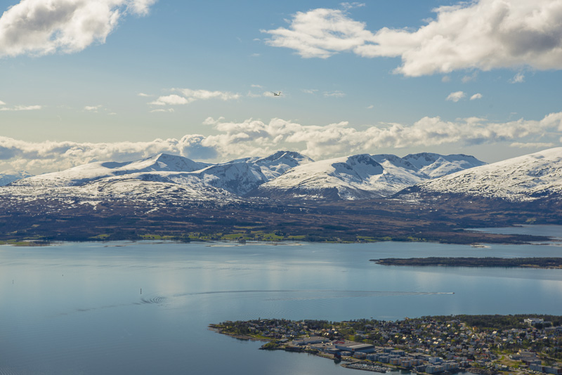
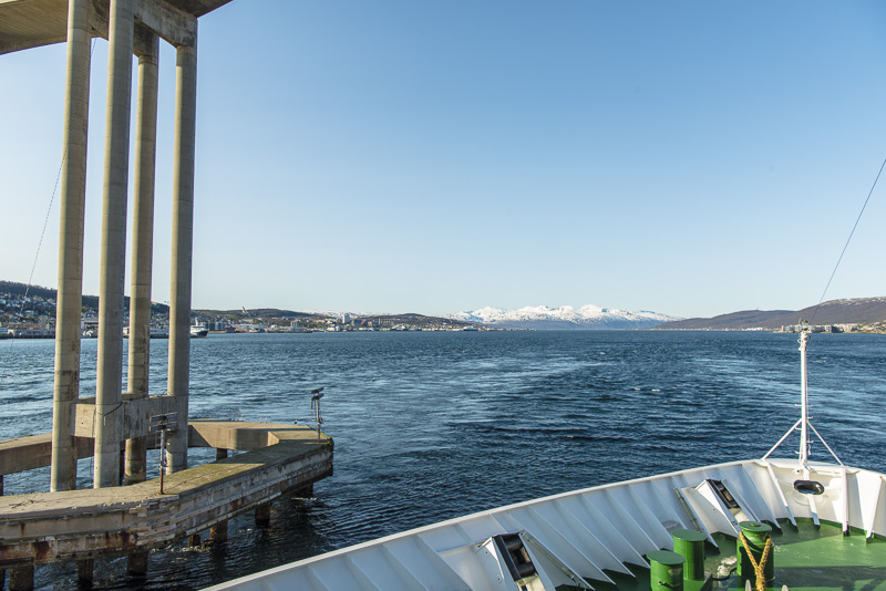
Entering the Straumsfjord, shortly before Tromsø.
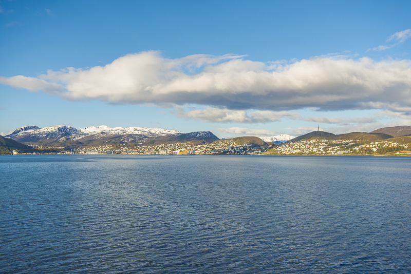
After a quick Lunch back to the deck: we will soon arrive in ...
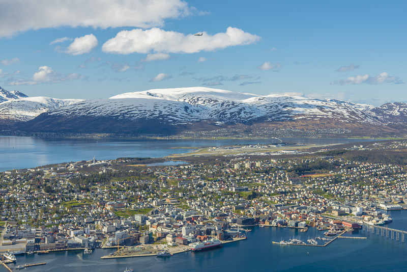
... Tromsø.
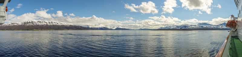
Panoramic view to the east, into the Balsfjord. Click here or into the picture for a larger display.
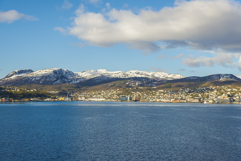
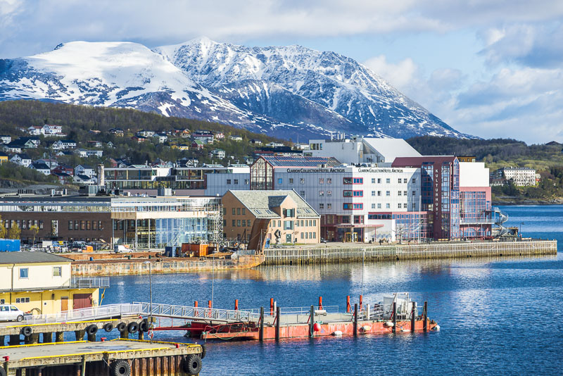
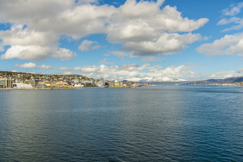
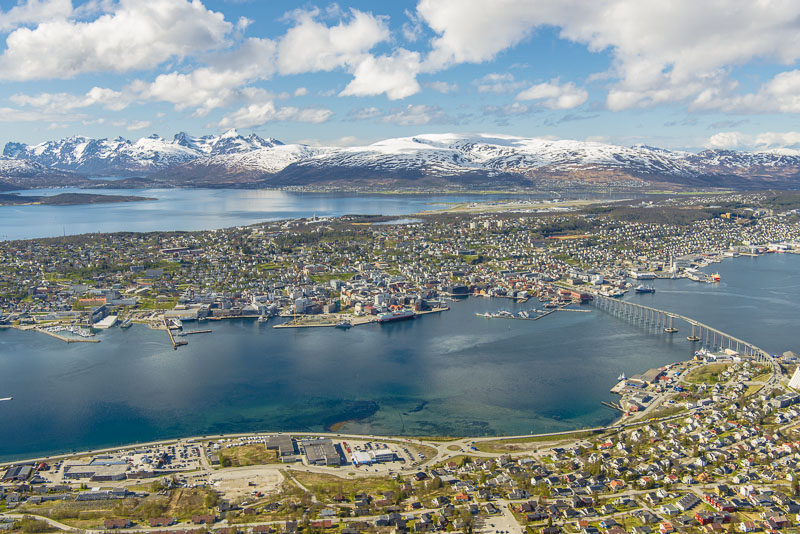
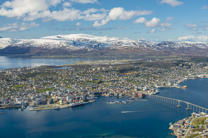
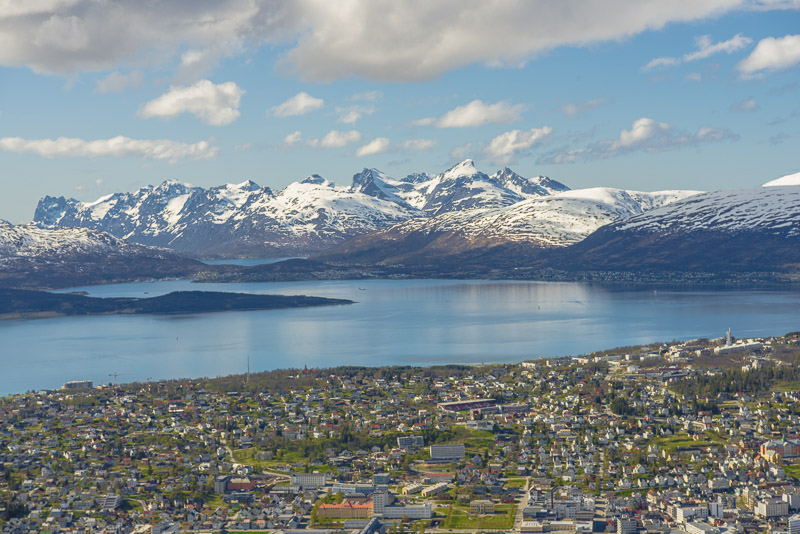
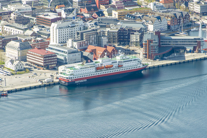
Tromsø ...
... now closer.
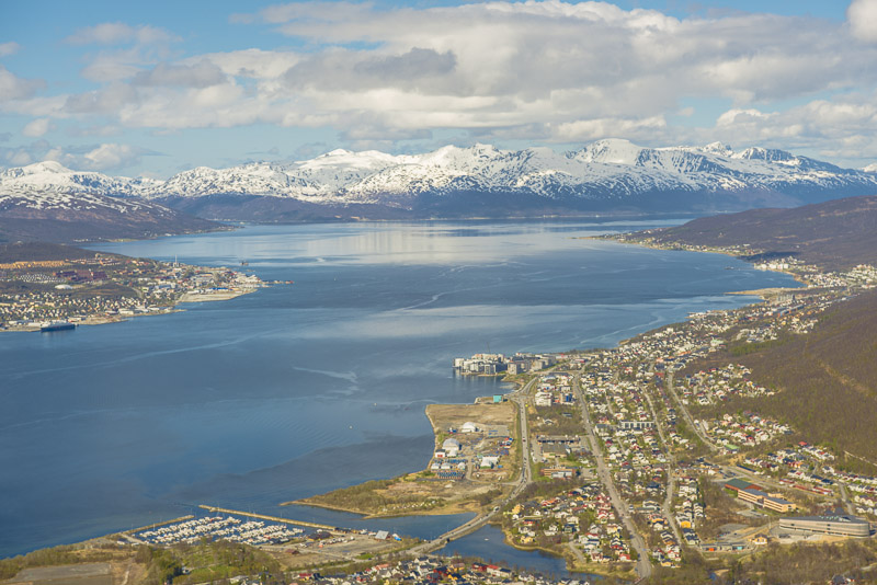
View back.
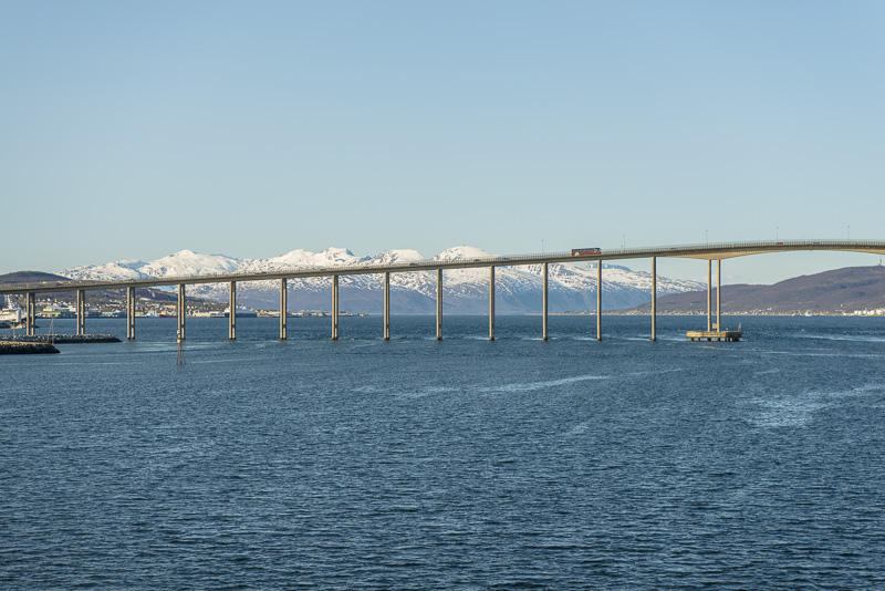
The bridge over the Tromsø sound comes into view.
The landing stage in sight.
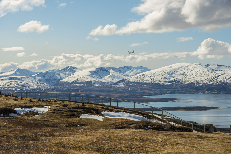
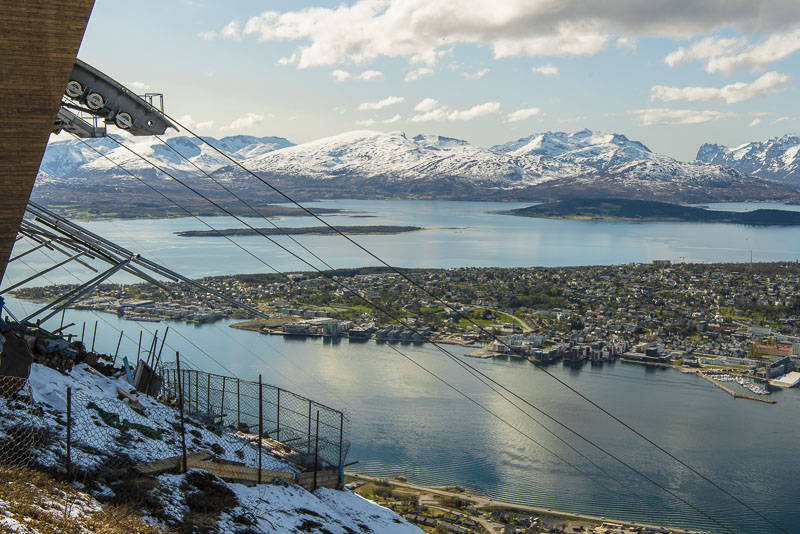
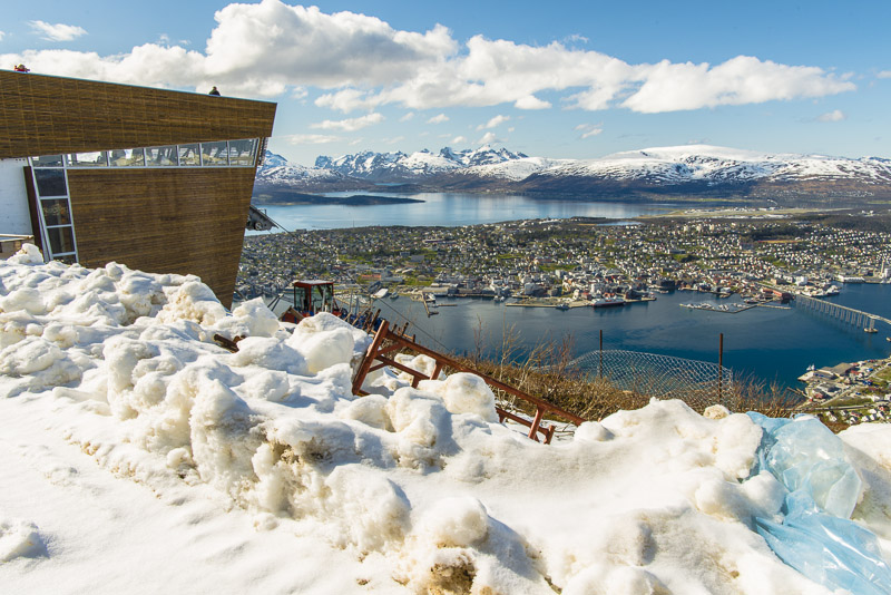
This is our next goal: the big rock named Storsteinen, in close proximity to the summit station of the Fjellheisen funicular.
Still on the sea though. view back to Bentsjordtinden (1.168 m) and its neighbours, mostly higher than 1.000 m.
We´ll arrive immediately.
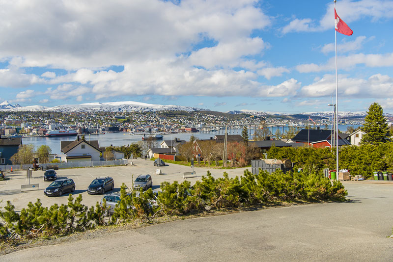
We left the ship as soon as possible, walked to the town and took a taxi that drove us over the bridge to the other side of the sound.
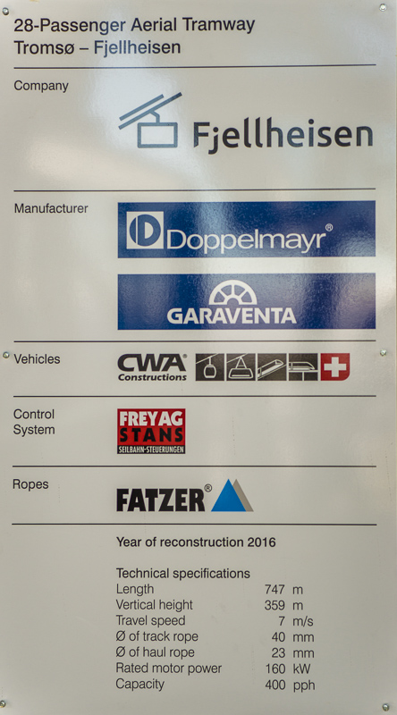
The cablecar was restored recently and reopened a few weeks ago - now with technology from Austria (Doppelmayr is a world leading company in this field).
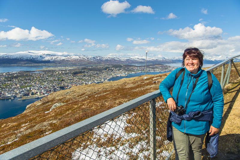
Breathtaking keen insight from the terrace of the cablecar summit station.
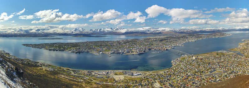
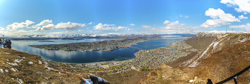
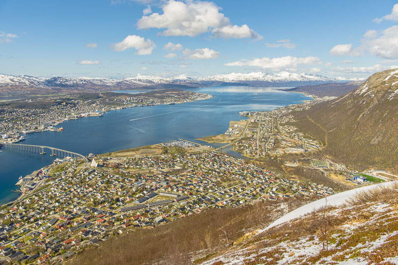
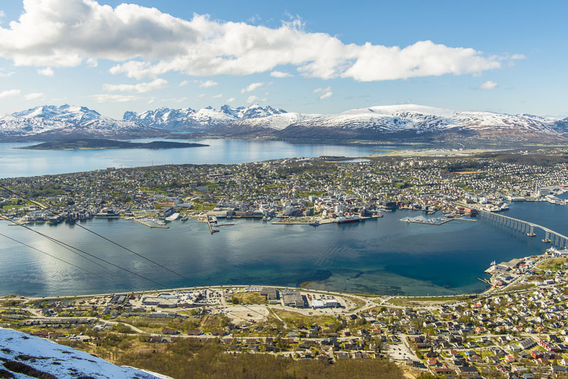
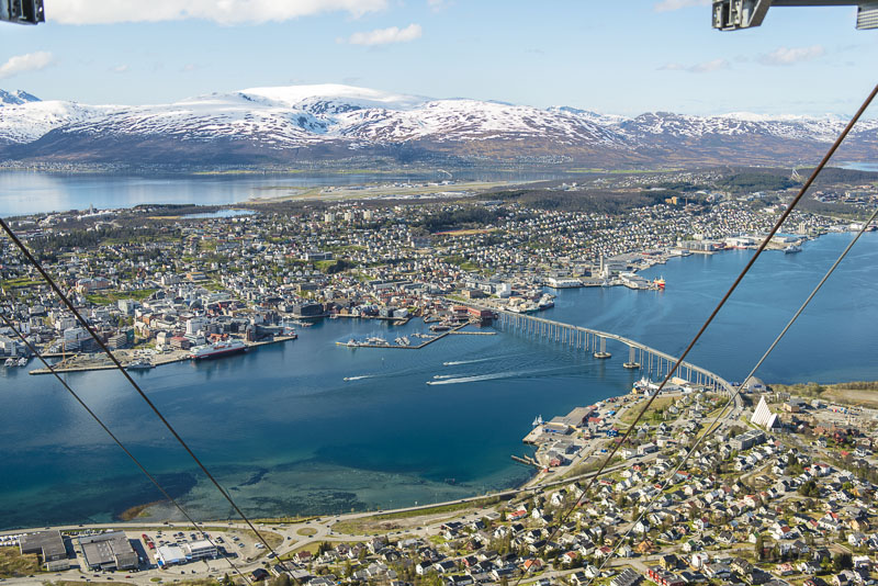
180 degree - panoramic picture of Tromsö - as taken from Storsteinen. Click here or into the picture for a larger display.
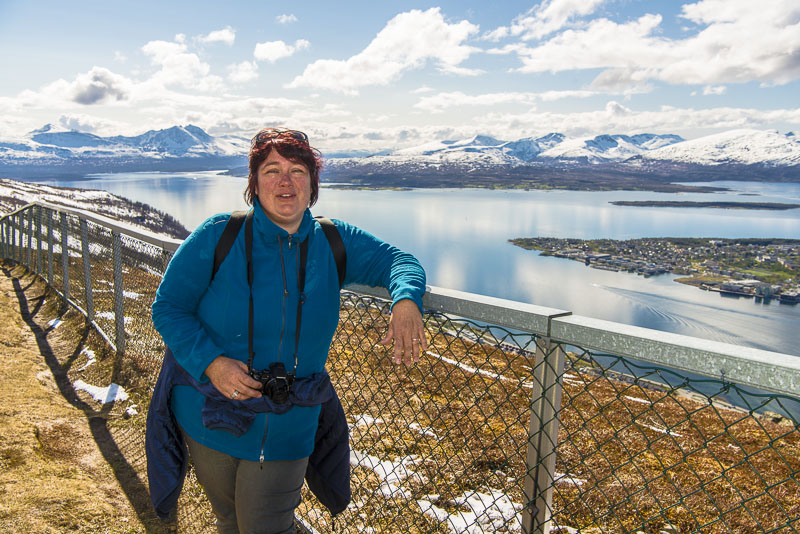
To the other side the view goes to the Tromsdalstinden (1.238 m). Much snow here, even new snow from recent fallout.
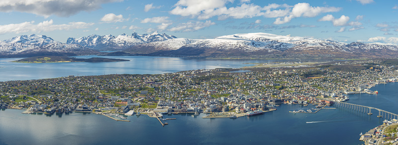
Another 180 degree panoramic picture of Tromsø - take from the Storsteinen. Also enclosed in the picture is the summit station of the cable car. Click here or into the picture for a larger display.
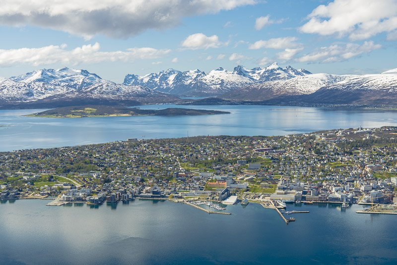
Tromsø, with the mountains of the island of Kvaløya in behind, mostly higher than 900 m, with the Skittentinden (1.042 m) and the Store Blåmann (1.044 m) as highest.
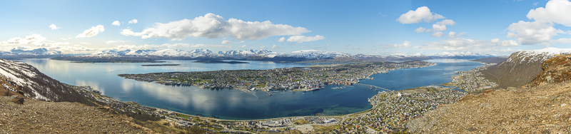
Partial panorama of Tromsø. Click here or into the picture for a larger display.
The fence is made to protect people from falling down the perpendicular rock wall.
So far so good. But so you don´t see the whole sound in the foreground, even less the coast before. WHat to do now? The rock is hard primary rock - I climb the fence to get closer to the escarpment ...
... to take this last panoramic picture - now comprising the whole city and its surrounding. Click here or into the picture for a larger display.
The airport behind the city - a plane ...
... is approaching for landing.
View to the north tothe island of Ringvassøya with mountains up to 1.000 m.
Another plain approaching. I´m back behind the fence.
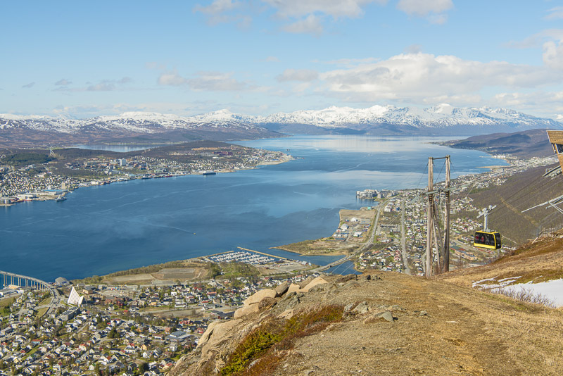
Two brand new gondolas are in use, a yellow ...
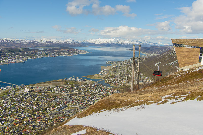
... and a red one, going at least every 30 minutes (or even more frequently as required). To see the midnight sun, during summer the cablecar is in service till 1 a.m. At this time, the sun stands deep behind the Ringvassøya island.
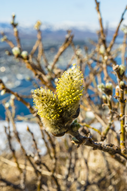
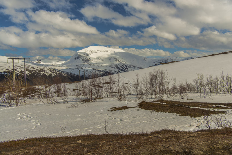
First flowers despite the snow - a very low, arctic form of a sallow.
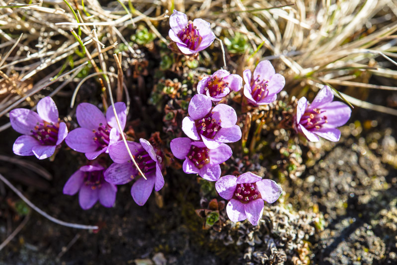
Purple mountain saxifrage (Saxifraga oppositifolia)
Zooming in on our ship.
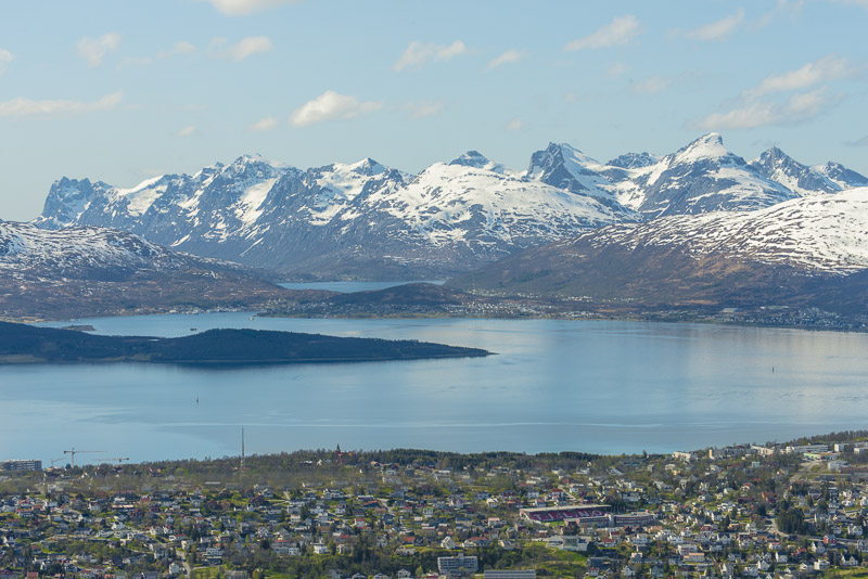
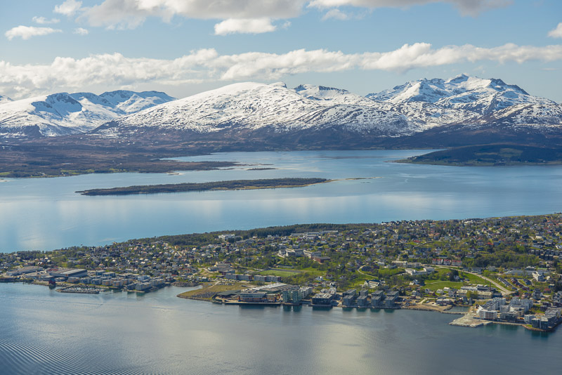
Mountains of the island of Kvaløya
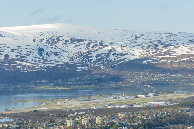
The airport with mountains behind.
Zooming in on Tromsdalstinden.
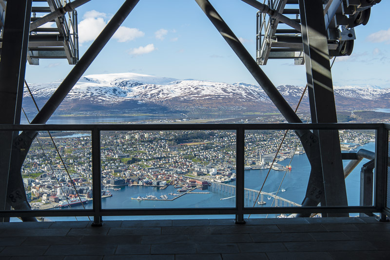
The summit station.
Looking to the North.
Much old and some new snow ...
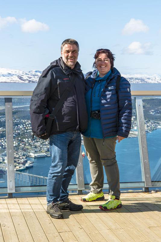
Found a photographer for us two.
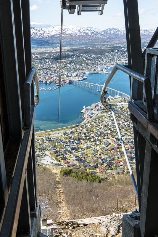
After an Back down after hour´s stay.
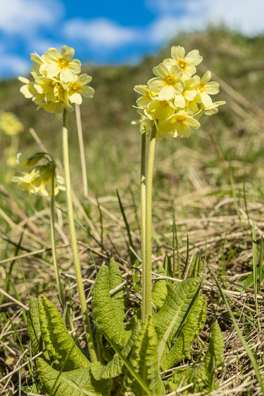
We now walk from the cablecar stration to the bridge. Lots of oxlips (Primula eliator) in the gardens around.
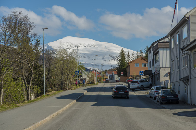
Tromsdalstinden from the street
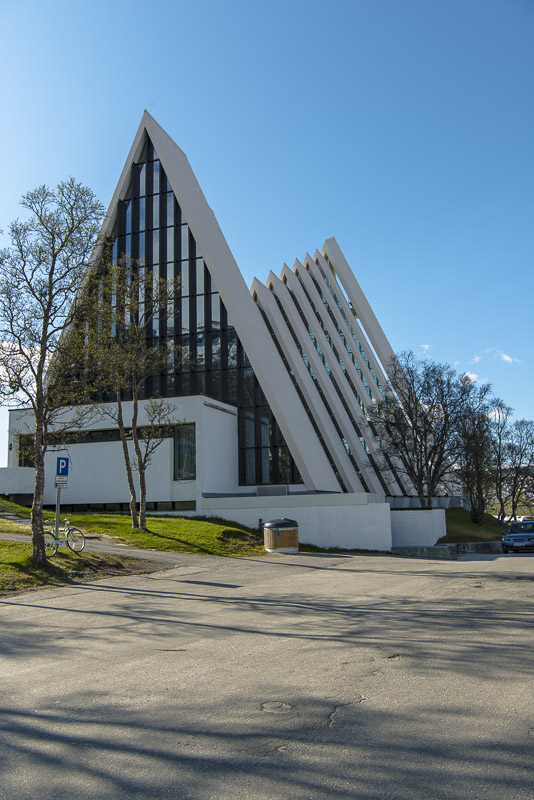
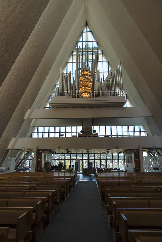
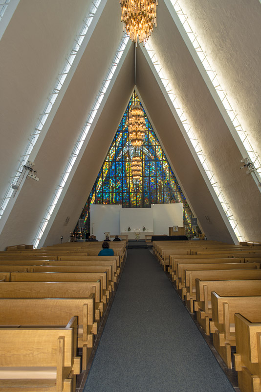
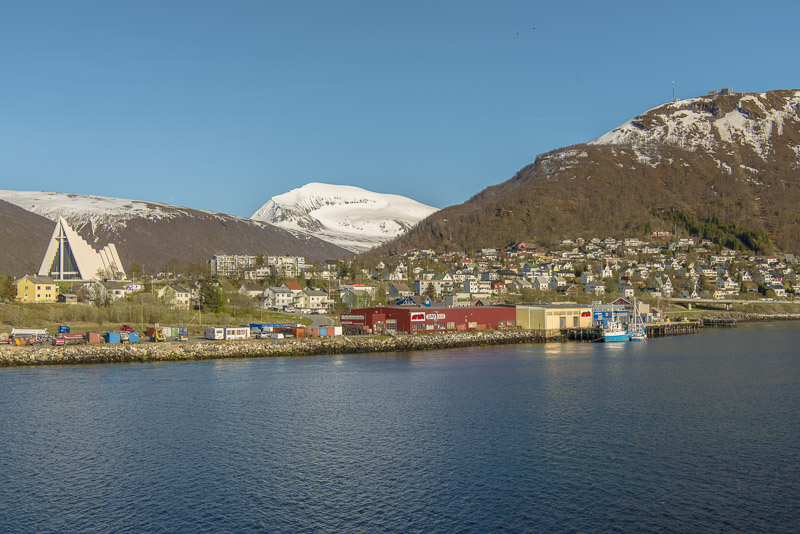
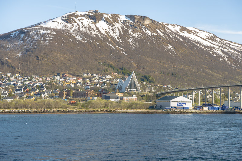
Our goal is the Arctic Cathedral, a modern style church built from concrete on the eastern shore of the sound, close to the bridge.
Intersting triangular form.
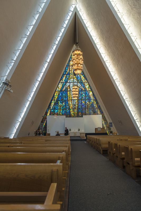
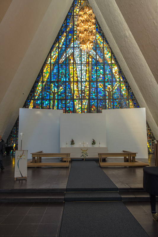
Much light inside ...
We catch a bus at the bridge, which brings us back to the town.
Die mehr traditionelle Domkirche, the only cathedral in Norway built from wood.
Back on the ship
A last view to the cablecar ...
... and to the Arctic Cathedral.
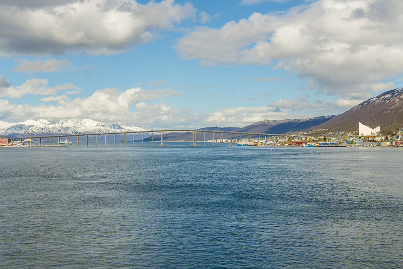
We slip through beneath the bridge ...
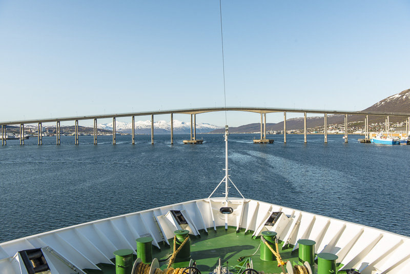
... precision work for our captain.
Not much room for our shp which is nearly 20 m wide.
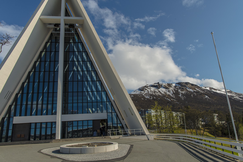
Arctic cathedral, Fjällheisen, Tromsdalstinden in the background.
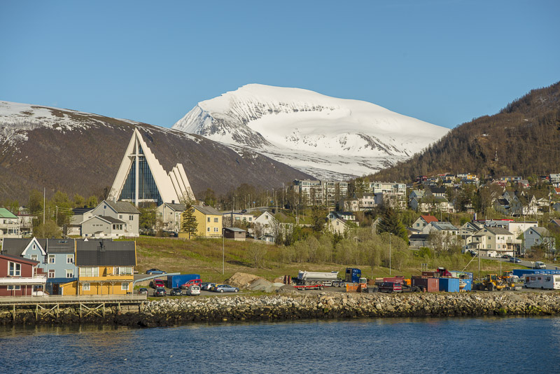
Arctic cathedral and Tromsdalstinden.
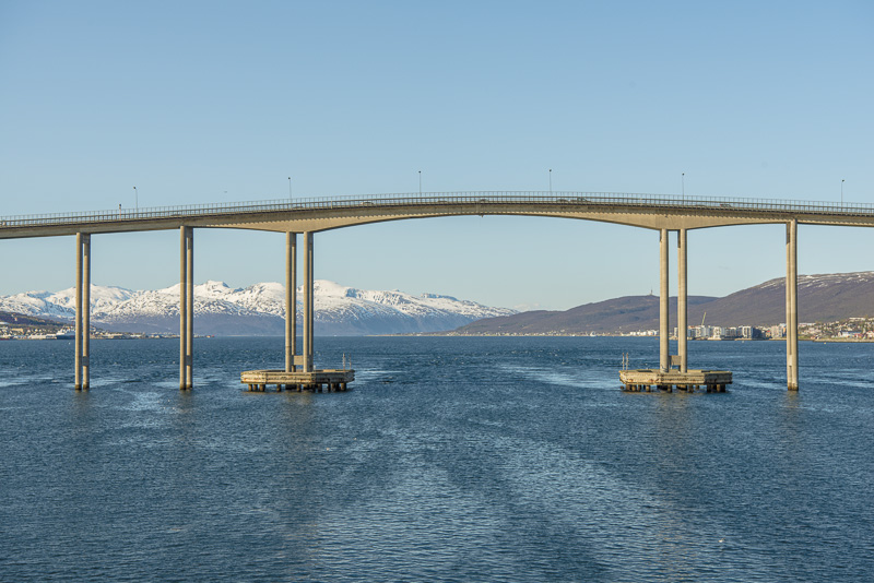
A Close-run thing....
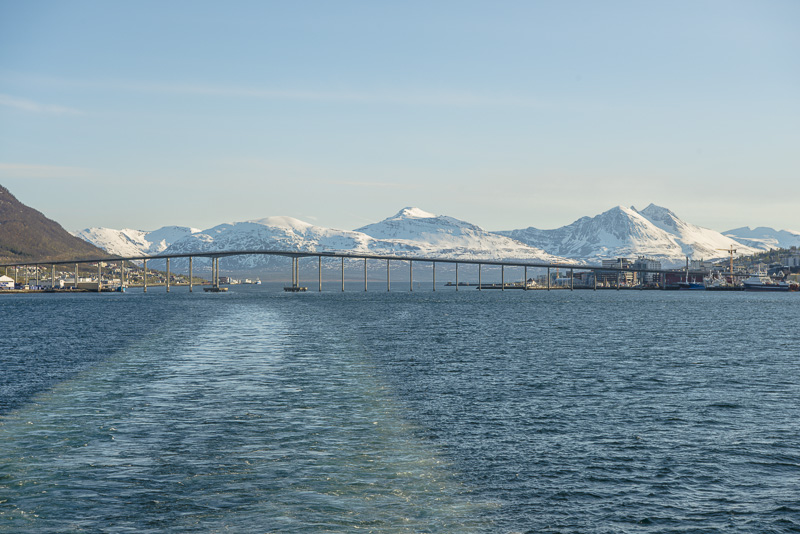
Slipped through!
Tromsø skiing arena
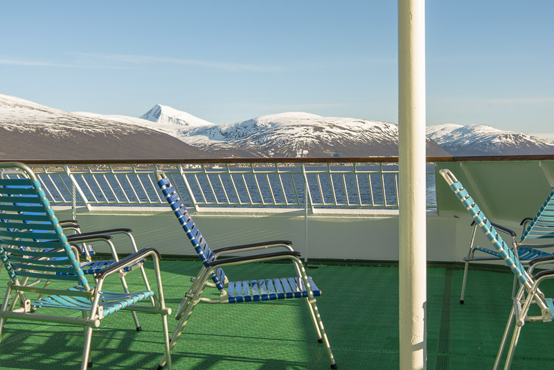
We could have it cosy on deck ...
Not for me though with this breathtaking panorama.
Another plane preparing for landing? No, a seagull ...
Tromsdalstinden slowly disappears.
Many new houses in the suburbs.
Looking ahead, to the North ...
... and back to south.
Bentsjordtinden (1.168 m) - with the telephoto lens looking like a Himalaya giant.
Skiing area at the shores ...
Bentsjordtinden (1.168 m)
Much to marvel at in front ...
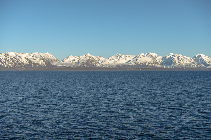
Ullstinden (1.093 m) far right, the mountains in the background seem to belong to the Lyngen peninsula (Storgalten (1.219 m) and Tverrbakktinden (1.392 m), both carrying glaciers).
I can´t identify this prominent peak.
Another view back. From bow to rear it is half of a kilometer - so I have at least a bit of excercise on the ship.
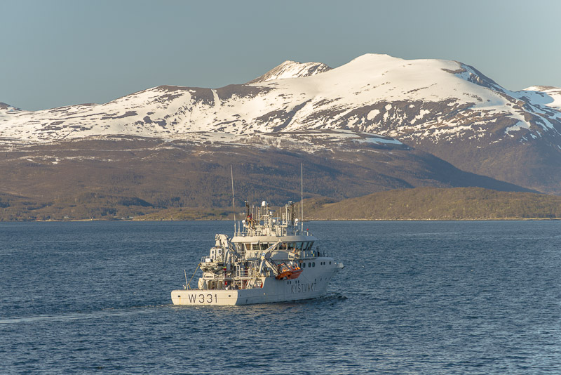
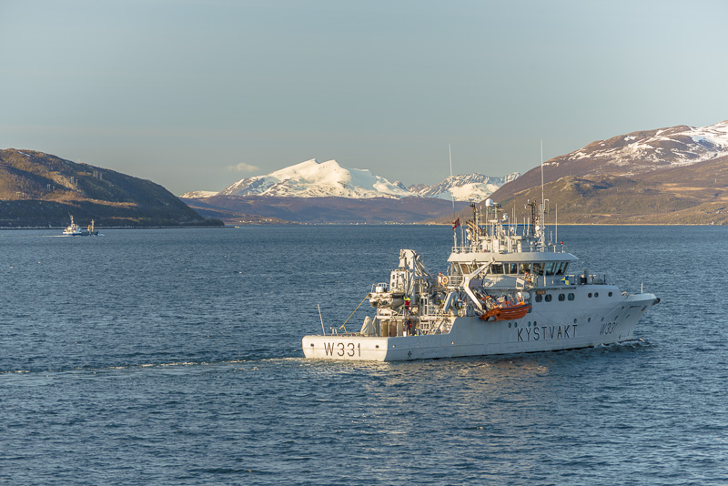
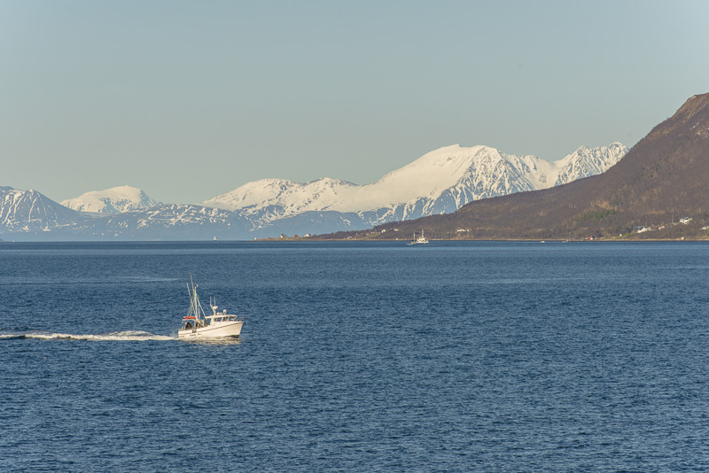
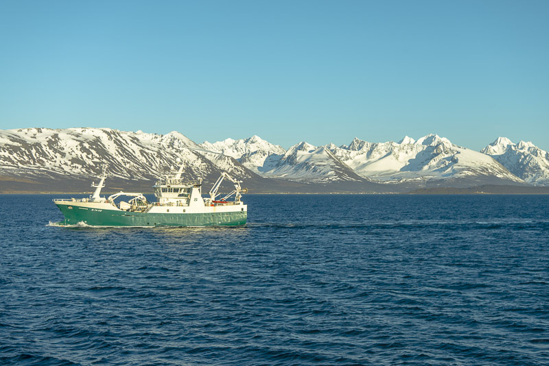
Coast guard
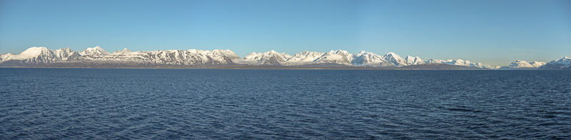
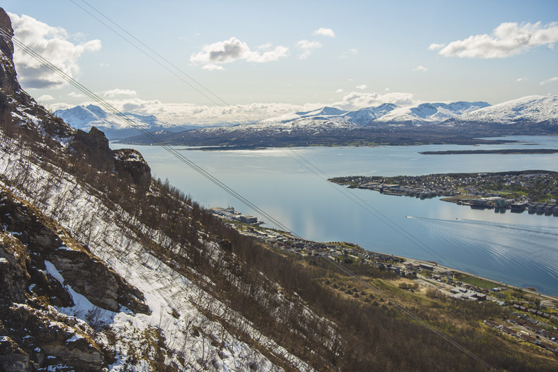
View into the Ullsfjord and panoramic picture of the Lyngen peninsula. Click here or into the picture for a larger display.
... going for the dinner now, so regrettably a small gap with the pictures. It has to happen though ...
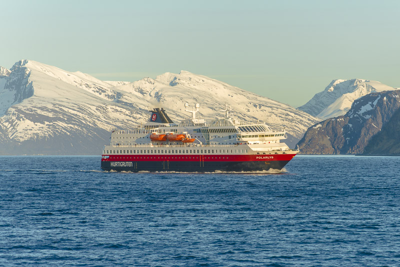
After dinner another ship encounter: the Hurtigruten ship Polarlys.
Now approaching our next harbour, Skjervøy.
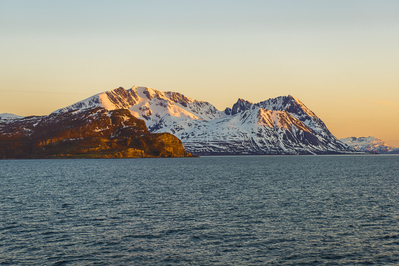
Before that, we have to circle this mouintain.
Sunlight now gets weaker, at 10:15 p.m.
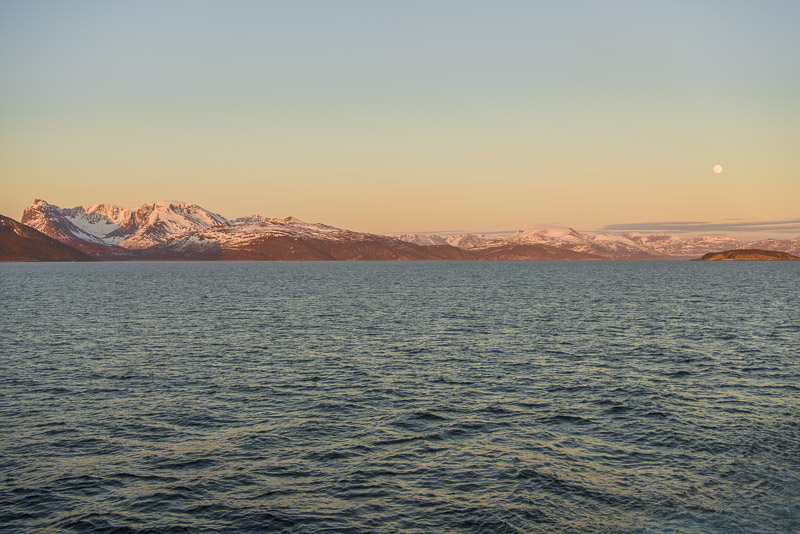
The large cove of Kvænangen
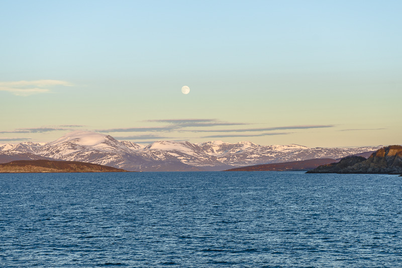
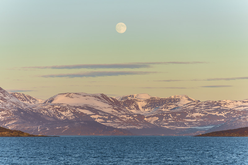
You wouldn´t believe that: full moon and sun at the same time.
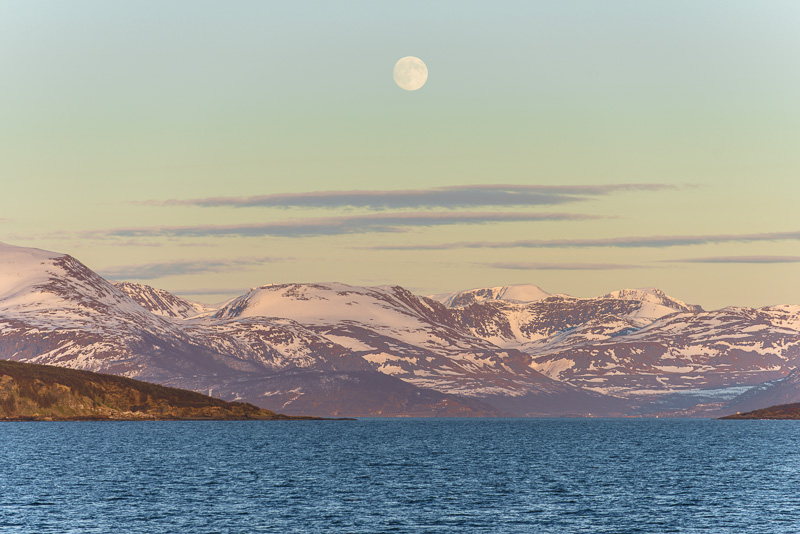
Behind the cove there is the high plateau of Kvænangen.
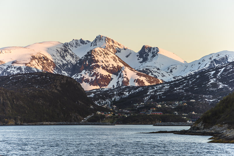
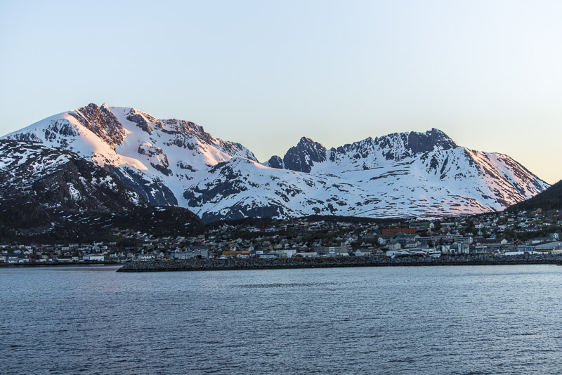
Round the next corner is Skjervøy.
Looking on the map you realize that there is another sound between the village and the high mountains ...
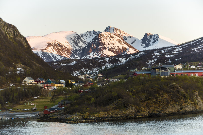
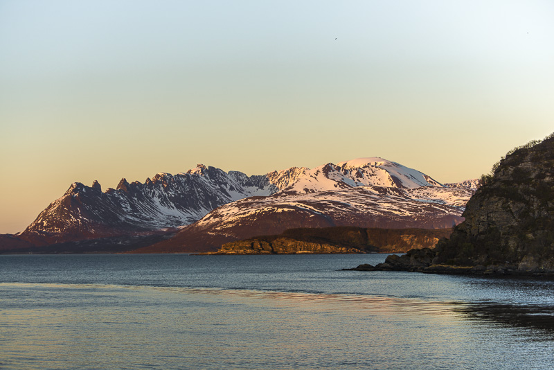
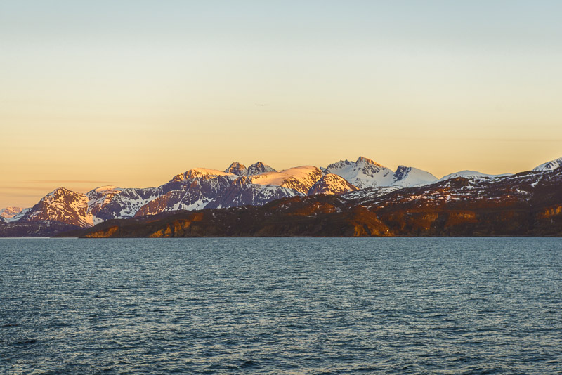
Mountains of the Nuovas peninsula, more than 1.100 m high.
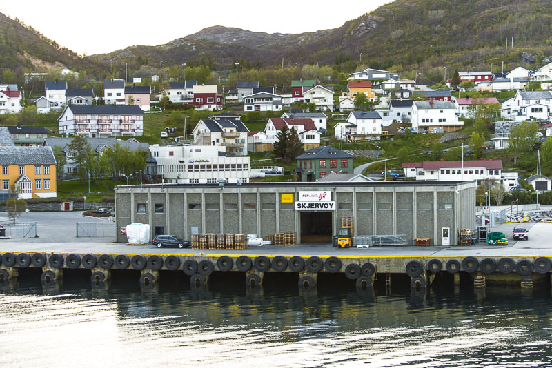
Skjervøy.
Last evening light - our should I better call this the midnight sun - at 10.30 p.m.?
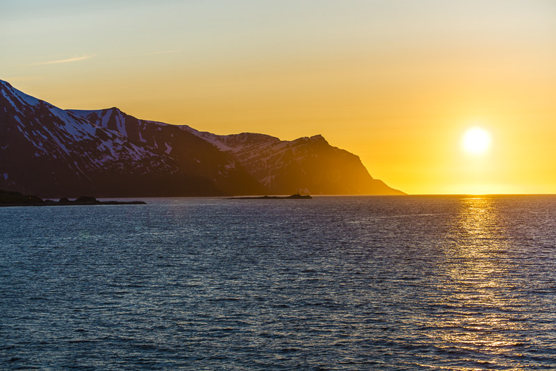
Yes, indeed, sun nearly in the northern direction.
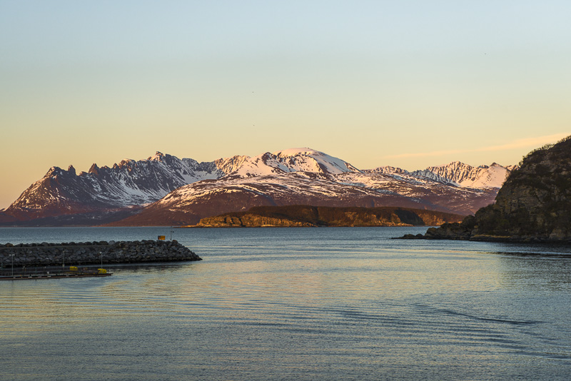
Departure from Skjervøy.
We now leave the Kvænangen cove in Northern direction.
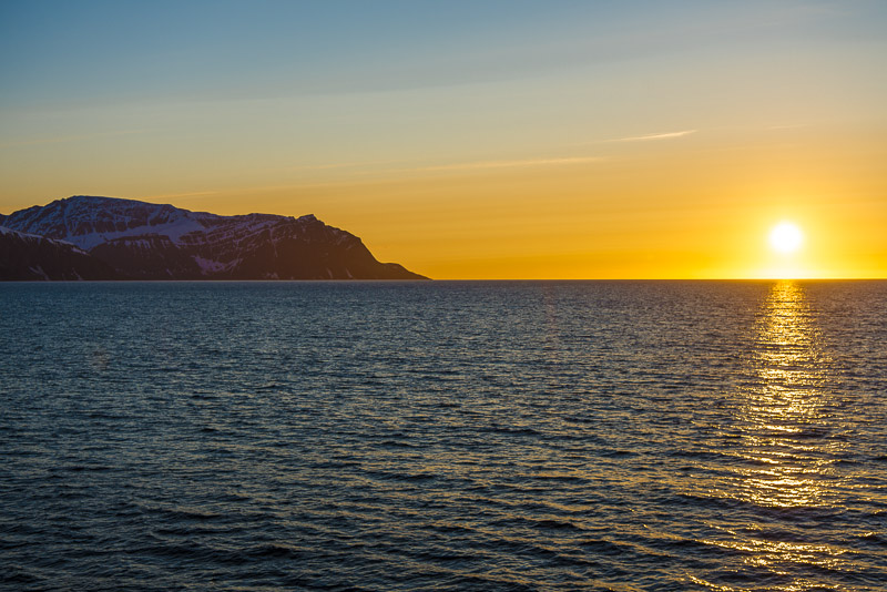
23:09 - still sun over te horizon.
Midnight sun on the snow covered mountains of the island of Arnøya.
11:36 p.m. Going to sleep when the sun still shines. Good that the curtains are rather dark in our cabin.