Hohe Wand 28.10.2020
Ground fog over Winzendorf and sunshine above - moving up is a must. A short visit to the Waldeggerhaus and a walk from the car park near the zoo, through the Leitergraben (valley) to the Hubertus house, Turmsteig hut and back.
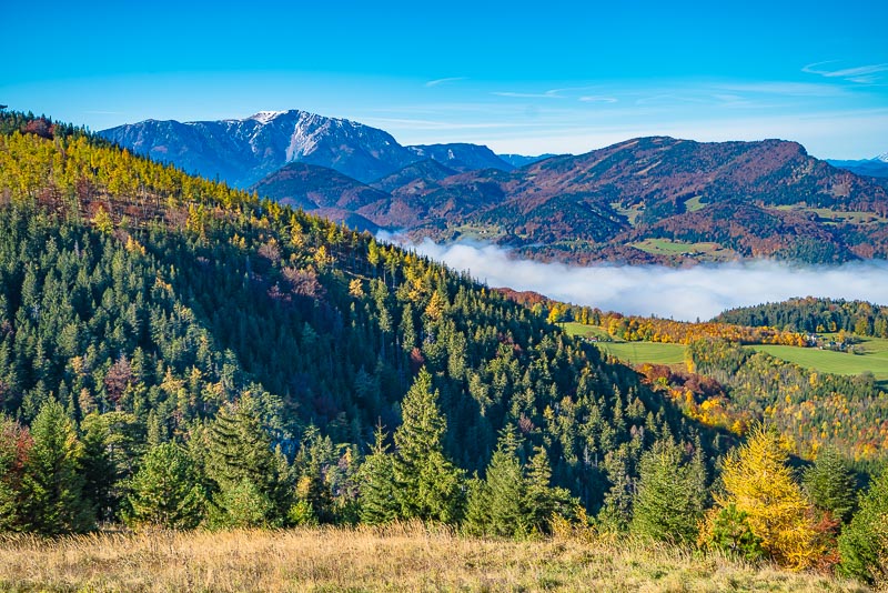
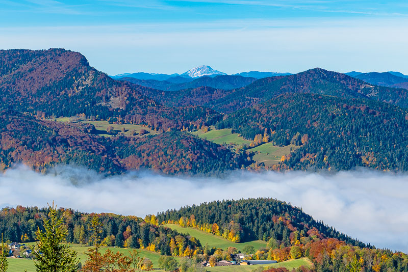
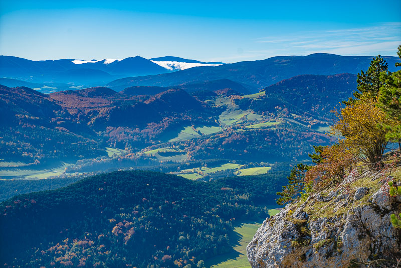
First a short detour to the Waldeggerhaus, always good for distant views with good weather ...
Schneeberg; the view tower near the zoo far left.
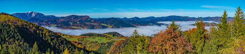
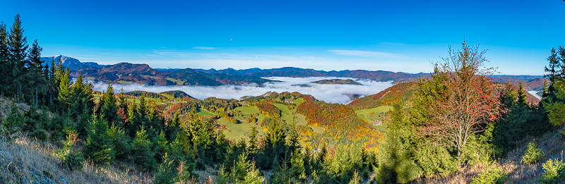
Panoramic view from the Waldeggerhaus to the west. Click here or into the picture for a larger display. In the distance ...
... the Ötscher can be seen, as to the info plate the distance is 61 km air line.
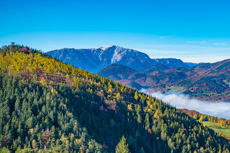
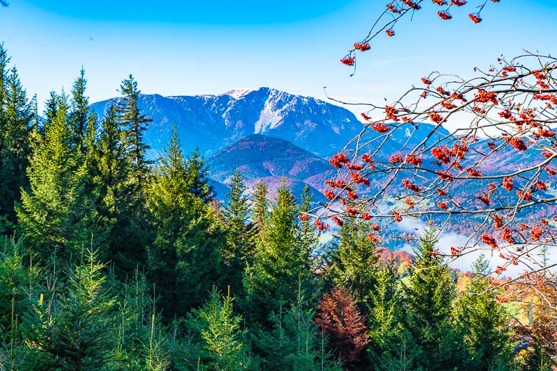
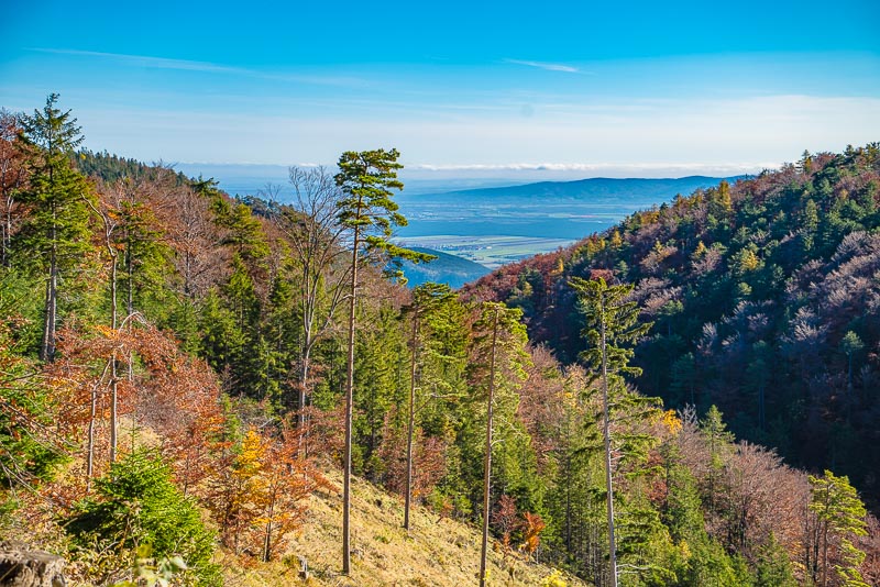
I walk a few minutes from Waldeggerhaus in direction Große Klause, which is closed now due to a rockslide. After about 5 minutes you reach a steep gradd area with similar view around.
Click here or into the picture for a larger display.
Once more the view to the Ötscher.
Schneeberg
The car pared near the zoo, I am on the way to the Hubertus house, on the lower route which only starts through entering the zoo. A bit less because of the few Euro entance fee, but more because of the crouds around (at Corona times and autumn school holidays), I walk a short leg along the tarmac road followed by a pathless stroll through a flat forest behind the fence and join the route afterwards. I don´t want to visit the zoo.
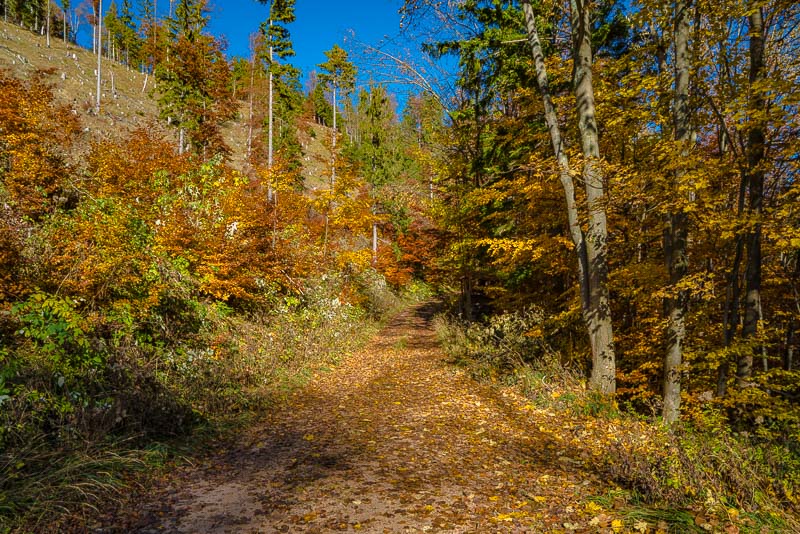
The route is leading through the Leitergraben valley, this being the first view into.
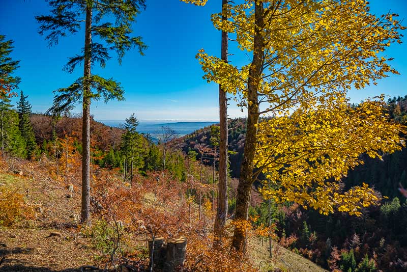
The mist above the Vienna´s plain has dissolved in the meantime.
The valley of the Leitergraben is leading along a geological fault in the limestone massive of the Hohe Wand. Due to this weak point, erosion could work, and during the ice ages, the ground was frozen in permafrost, so the water could not drain through the ground, and a beck was flowing carrying down lots of material, which now can be found down at the foothills.
The Leitergraben measures, from Wanddörfel to the escarpments of the front of Hohe Wand, about 1,5 km in length and 250 m in deepness.
Walkers only realize the Leitergraben on their marked routes, when they walk from the Hochkogelhaus to the Hubertushaus - then you must cross the ravine on a steep path 100 m down and up again. Walking the forest gravel road above the path, I don´t have to scramble down and up, but although the road crosses the valley half way up not leading down to its lowest point, I still have to desend more than 100.
The deepest point in the valley, 932 m asl according to the map.
The Hubertus house being deeper than the zoo, at 947 m asl, the re-ascent is only slight.
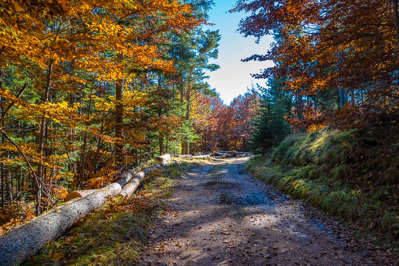
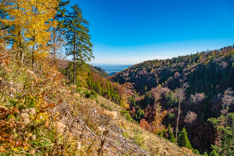
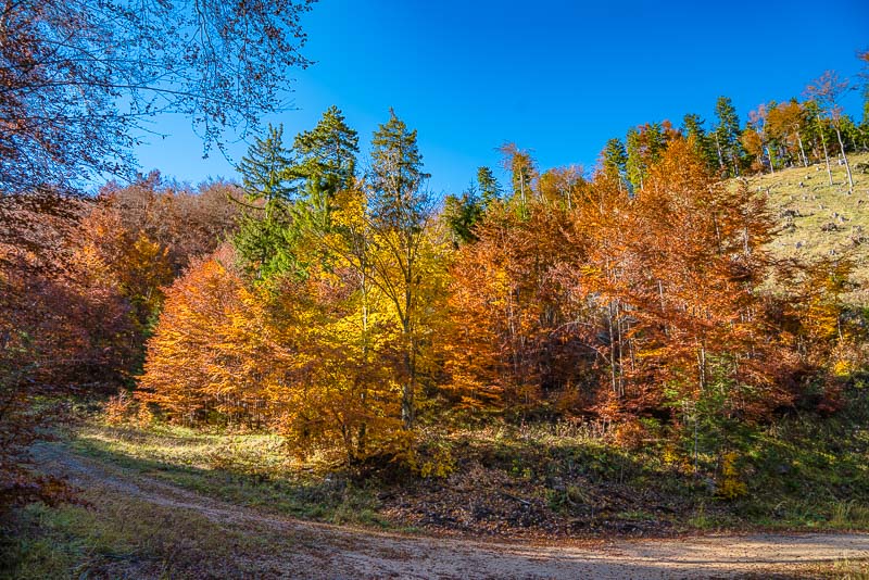
Despite the limited view, I enjoy walking the wonderful forest and the solitude. As opposed to the upper route from the Kleine Kanzel to the Eichert hut, you meet nearly nobody here.
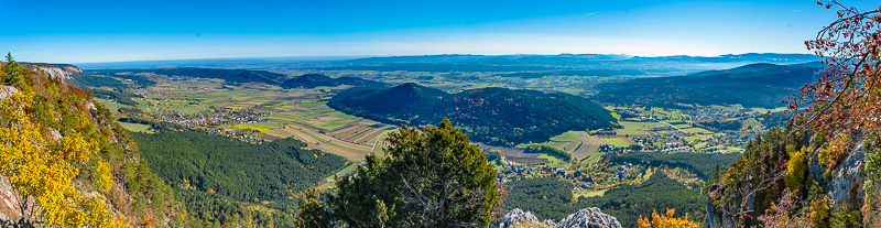
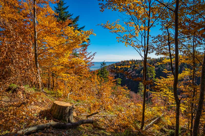
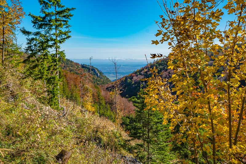
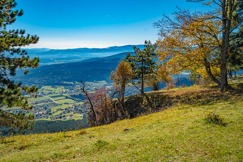
Back out of the valley and I branched off to a place a bit beneath the Hubertushaus, making use if a short side road. Stunning view down to the Neue Welt ("New World")...
... and to the Kienberg and to Höflein. Click here or into the picture for a larger display.
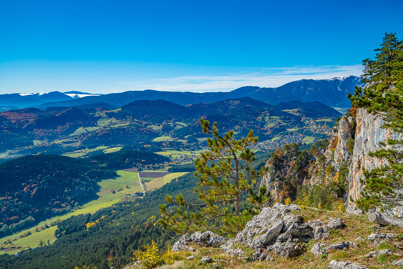
Höflein and the Bucklige Welt.
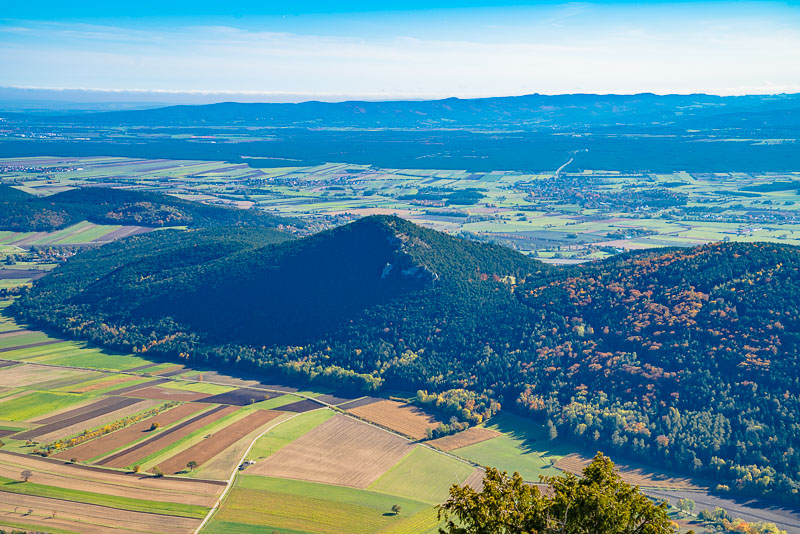
Kienberg in the centre of the picture. The rocky western ridge can be seen easily, where the "Irmasteig" called path leads up, one of the most beautiful views to Schneeberg.
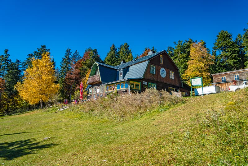
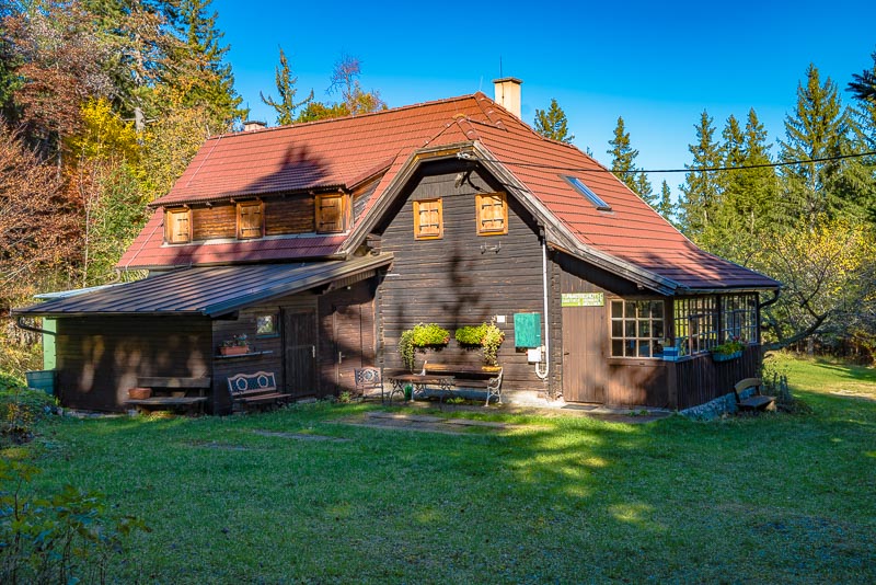
Hubertushaus, popular stop for many rock climbers.
View to Höflein, the Gahns massive and to Wechsel and Semmering.
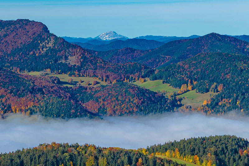
Persistent mist covering the Mürz valley, as seen frequently.
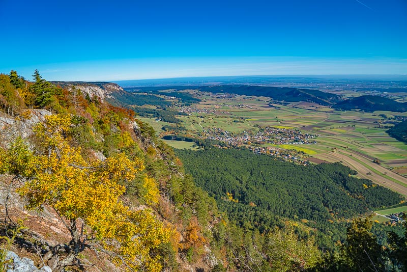
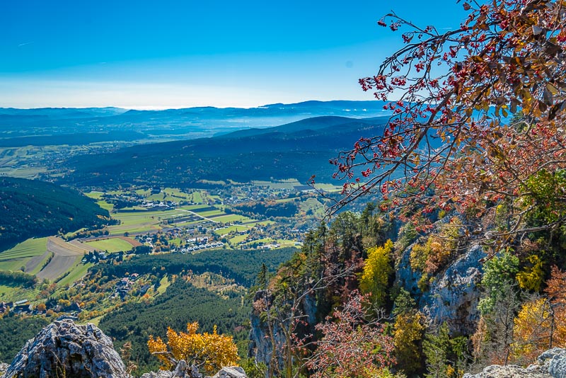
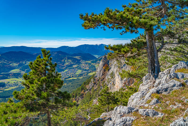
Now walking a bit along the escarpment, with wonderful views down the southern escarpments of Hohe Wand ...
... and to Grünbach and the Schneeberg.
Neue Welt with Kienberg.
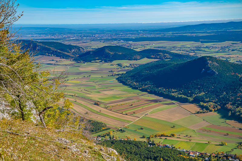
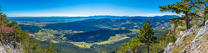
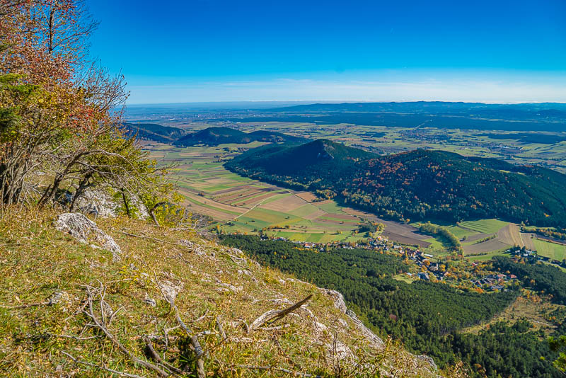
The view to Wiener Neustadt. To the left, behind the flat valley of the Neue Welt, ruine Emmerberg, to the right Kienberg. Far behind, on the horizon, are the Leitha mountains. Hungary still beneath the mist, but the faint light line in front is the Lake Neusiedel. To the right, in behind, is the Steinfeld and the Rosalia mountains.
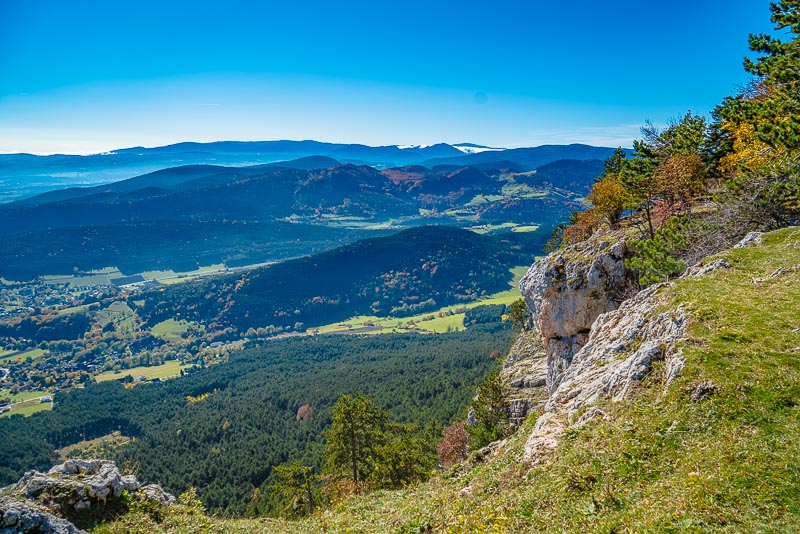
Grünbach and Schneeberg, the vew from the so called Nagl - cross.
Panoramic view from Hohe Wand (Naglkreuz) to the south - Höflein, Neusiedl, Grünbach and Schneeberg. In the background is Rosalia, Bucklige Welt, Wechsel and Semmering. Click here or into the picture for a larger display.
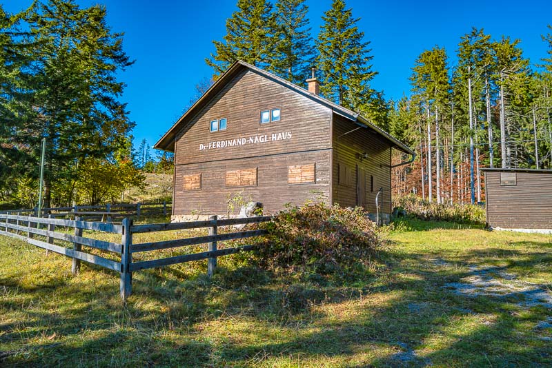
Dr. Ferdinand Nagl house is a self-catering house of the Austrian Tourist club.
Here, I branch off to the Turmsteighütte ab, wich is situated ...
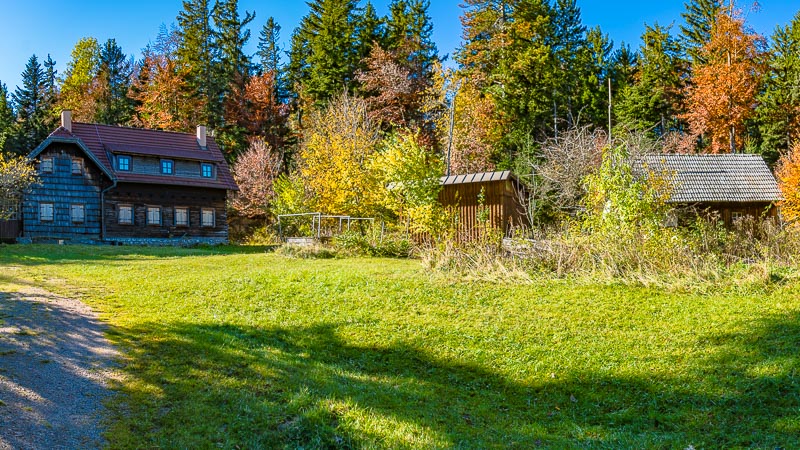
... hidden inside the forest on a small grassland.
On the return, back to the Leitergraben.