Gelaend 22.11.2011
The dryest November since weather records are written (1856) with only 2% of the usual rain has brought many weeks of mist, with sun on the mountains. Once more I could sneak out for a walk in the sun.
Firts, as usual, I have a look at www.Schneeberg.tv to check for the state of the mist, especially how high it is reaching. The photograph from the Schneeberg webcam near Fischerhuette shows that Gruenbach saddle was nearly out of the mist,
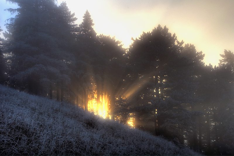
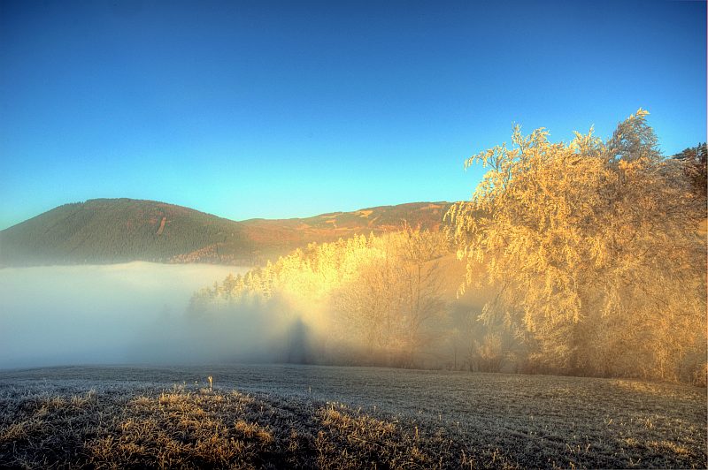
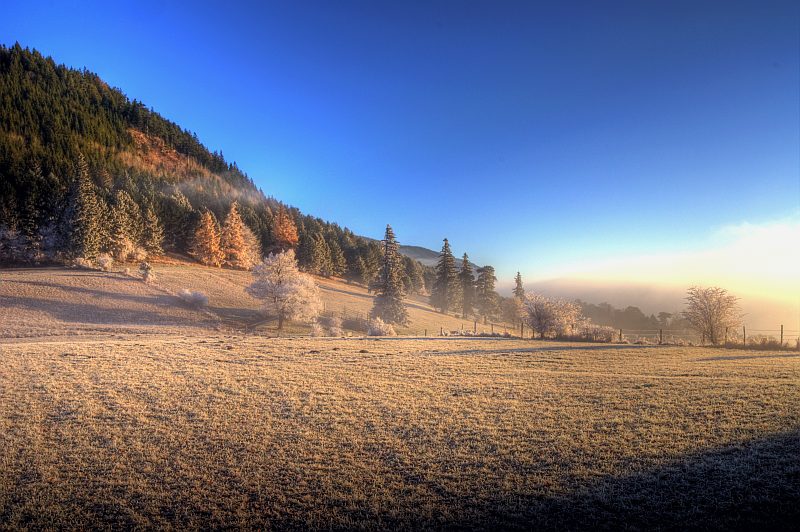
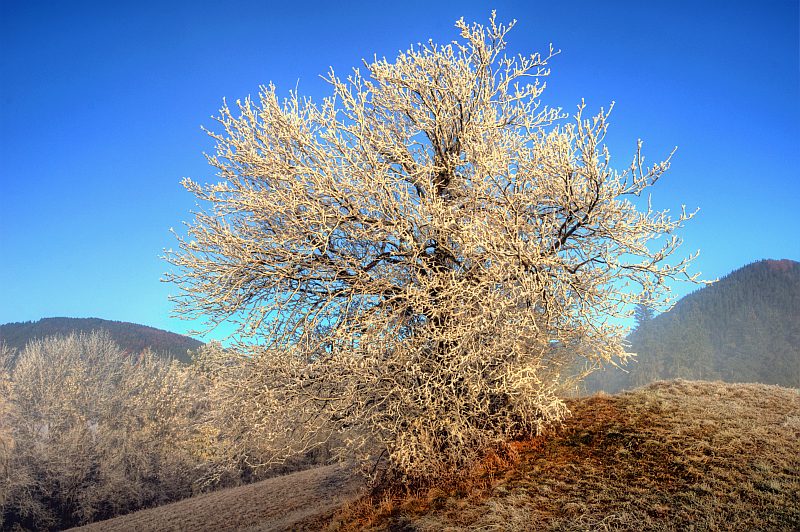
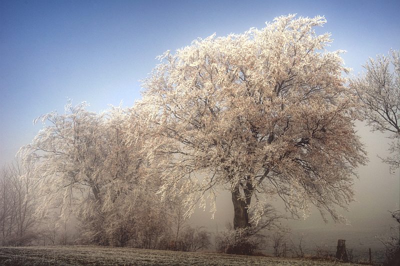
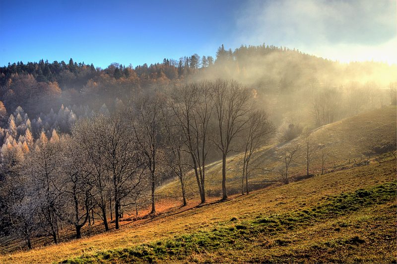
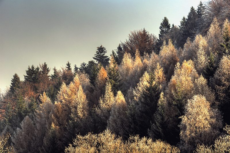
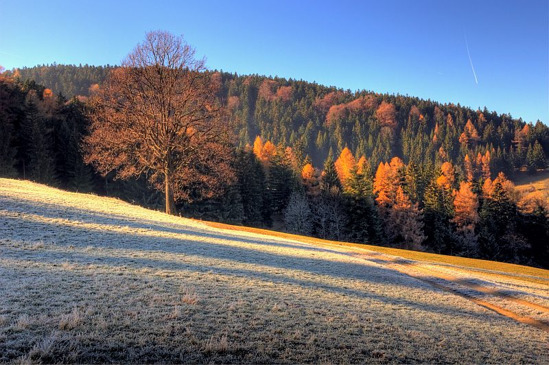
First, I drive heading for Puchberg, but with no distinct plan, just wait and see. However: a few hundred metres befor Gruenbach saddle, I get a glimpse of golden sunlit hoarfroast trees on the nearby hill. So, fast decision is made, and I park the car at the saddle and walk up the steep slope, towards the sun.
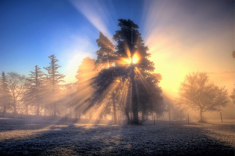
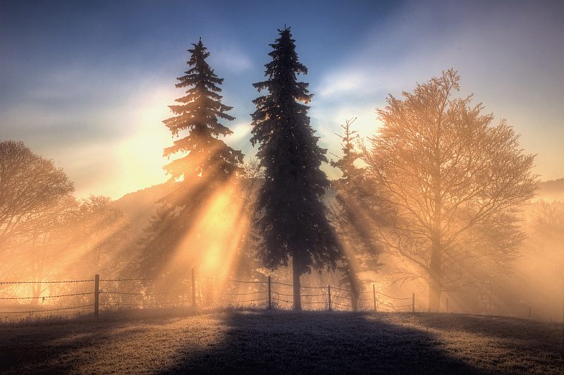
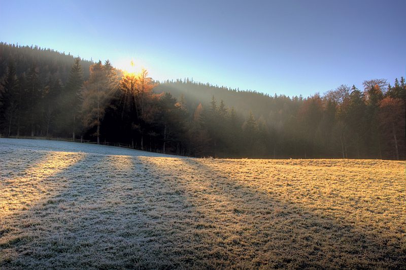
Soon, the first rays are breaking through the trees nearby ...
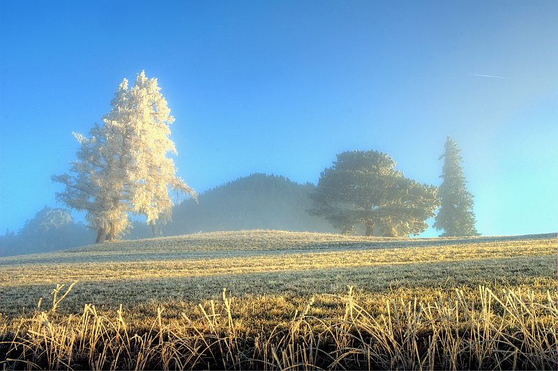
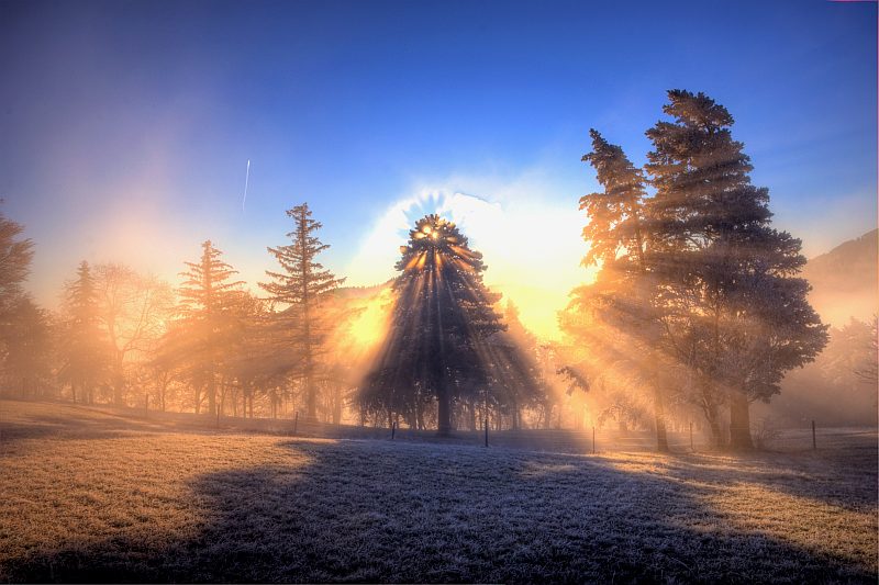
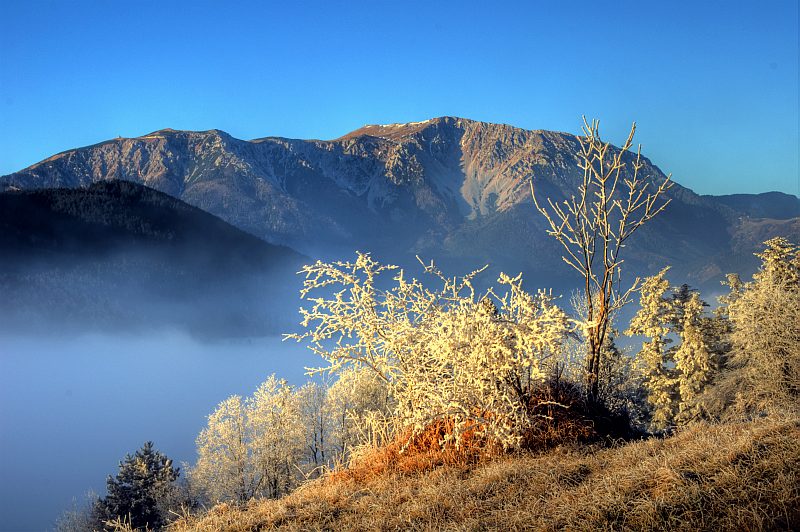
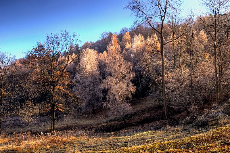
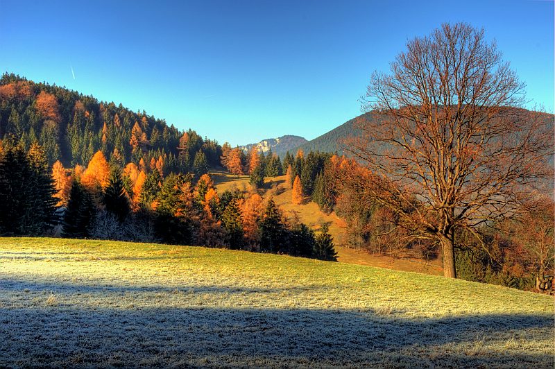
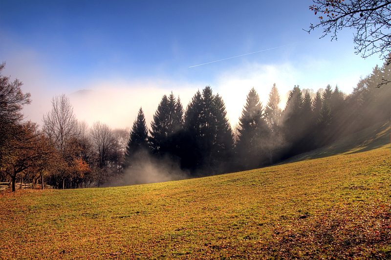
... and a few minutes later I am standing on a stunning little grassland with dispersed trees, exactly on the boarder of the mist - I am feeling like being in a fairy tale.
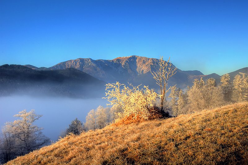
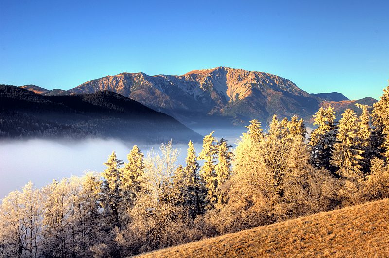
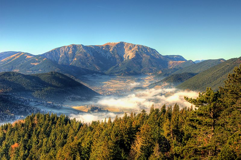
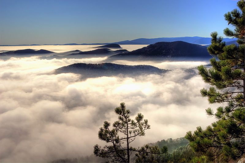
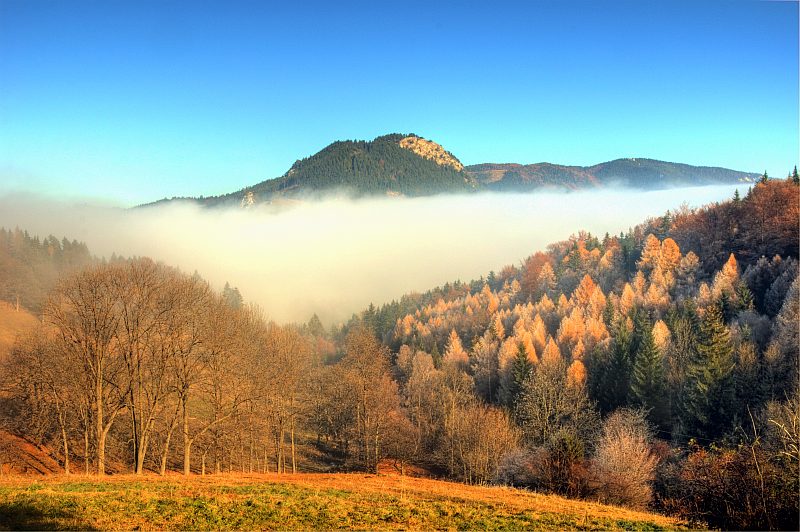
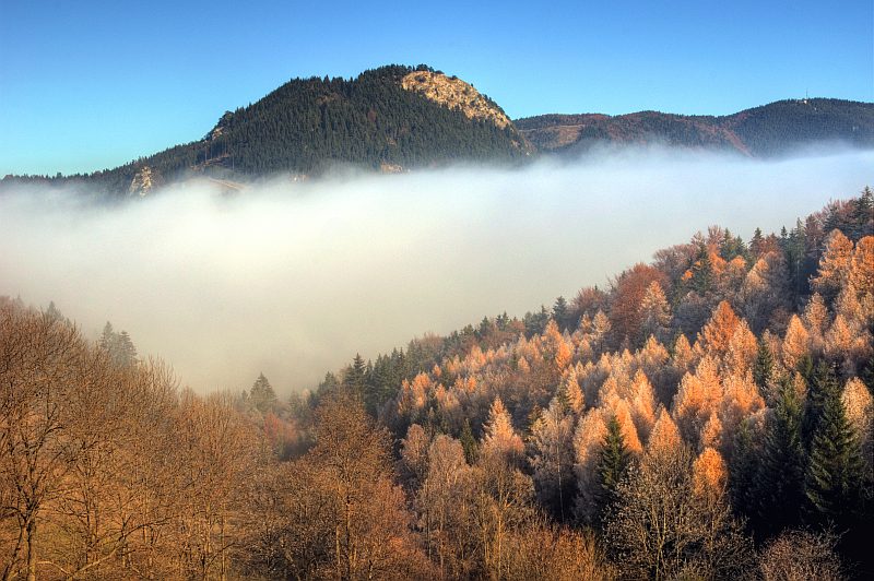
Schneeberg in the opposite direction, above the mist on Puchberger.
An only very faint Brocken - spectre. In the background to the left is Haltberg (1114 m), which could have been an option for today.
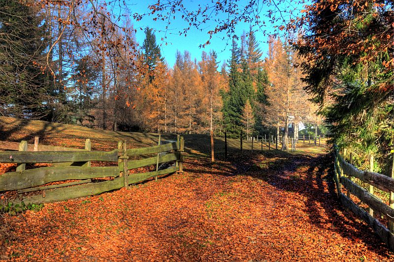
I shall come back via that grassland from the right, but it will be back in mist. To the left the ascent to G´laend.
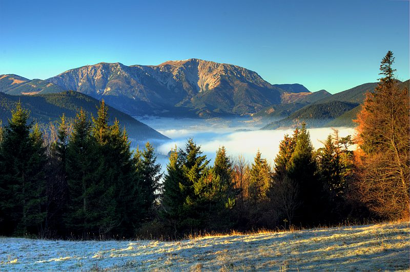
Schneeberg
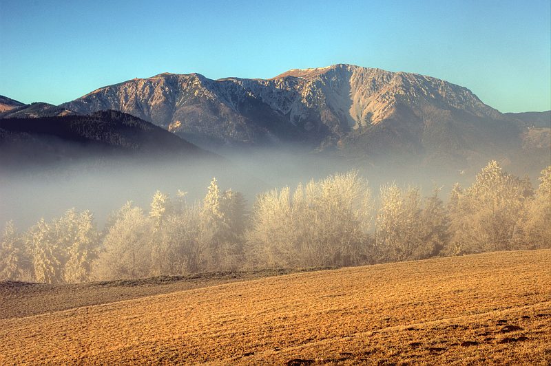
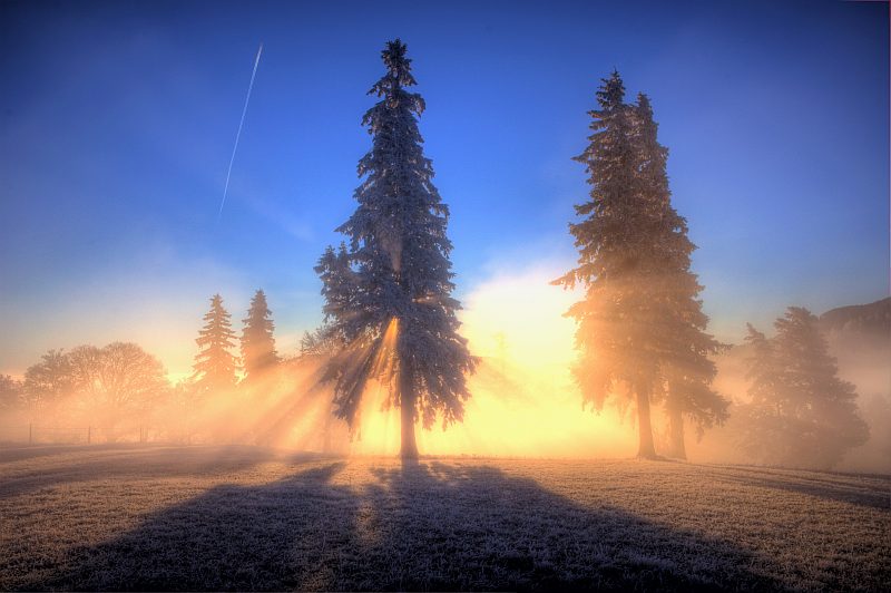
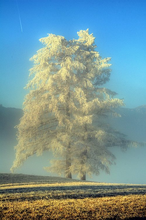
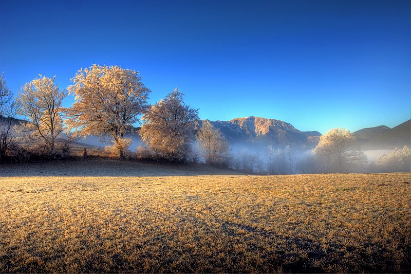
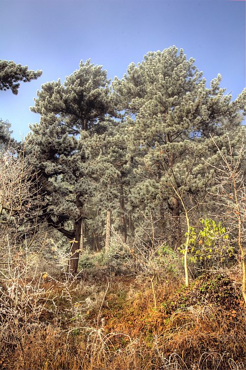
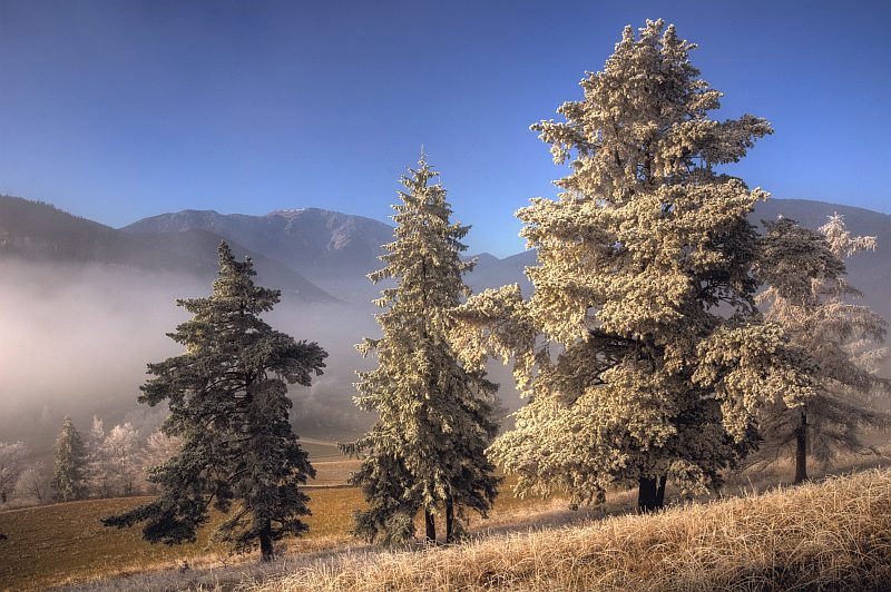
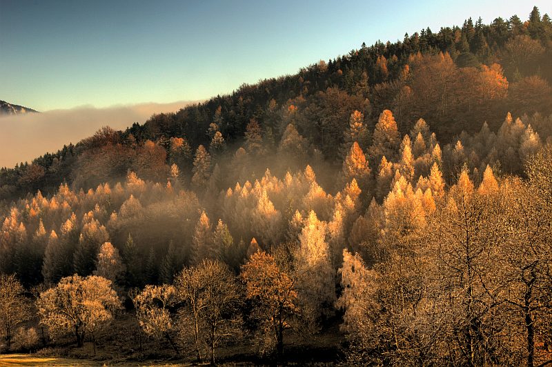
A short way up near the Hausstein. All time outside the mist, these trees are free of hoarfrost. Only this night´s hoarfrost in the shady parts of the grassland.
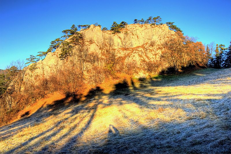
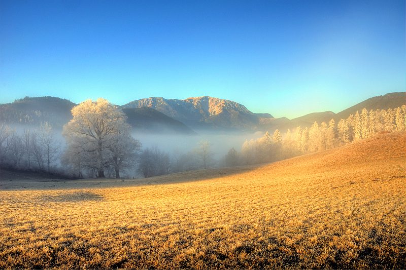
Hausstein, a rock formation, shrouded in legend, on the slopes up to G´laend, Here, traces of near 5000 years old settlements have been digged out.
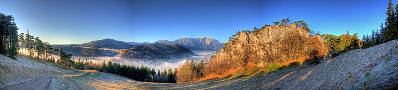
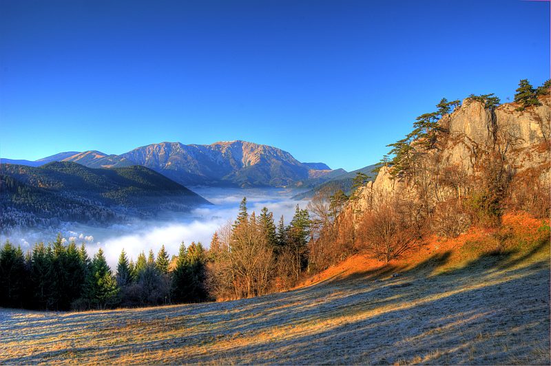
Panoramic view to Schneeberg and Hausstein. Click here or into the picture for a larger version.
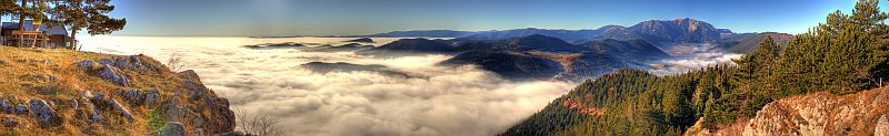
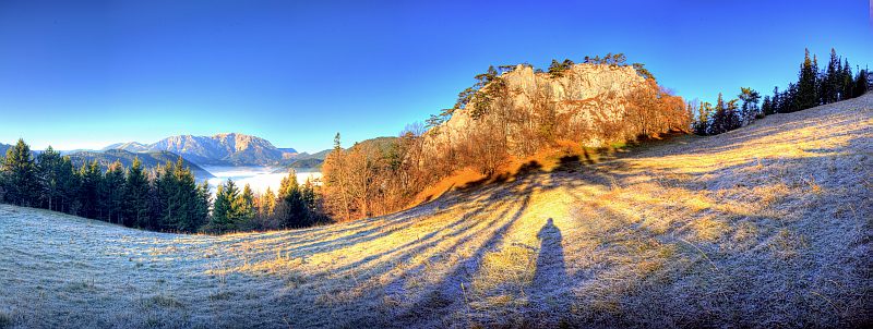
One more panorama, this time wider. Click here or into the picture for a larger version.
On the summit of G´laend (1.028 m). The mist over Puchberg has nearly dissolved.
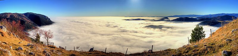
Southwestern summit panorama, far left the G´laend hut, a mountain inn that is open in spring and autumn, only on weekends. Click here or into the picture for a larger version.
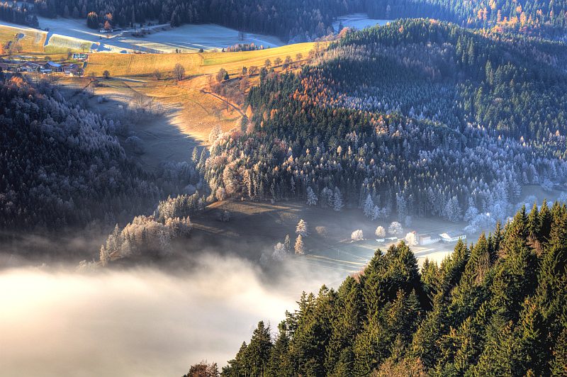
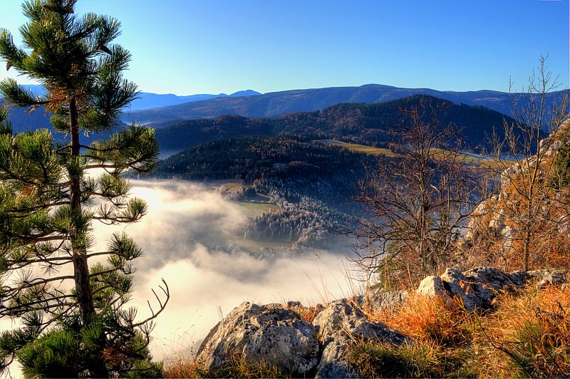
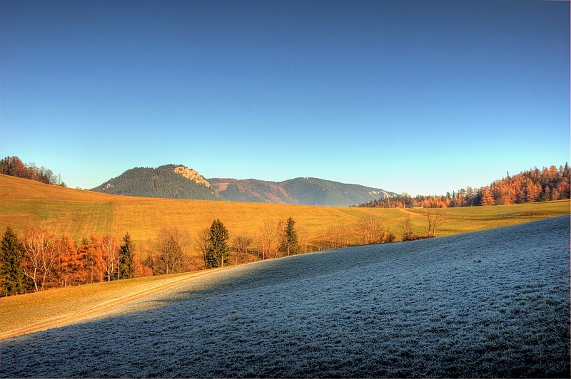
View down to near Gruenbach saddle, where I started. I shall visit the little valley and the hamlet above afterwards.
Southeastern summit panorama, far left is Plackles (with its 1.132 m the highest summit on the Hohe Wand massive). Click here or into the picture for a larger version.
Now I walk the "Eselssteig" ("donkey path") down the southeastern escarpments of G´länd. Here the view to Wechsel.

and once more.
View to the northeast to Plackles
The whale - like bump in the background is the Goesing.
View in direction Gutenmann
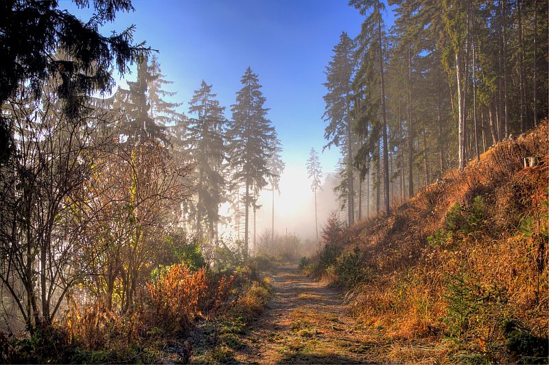
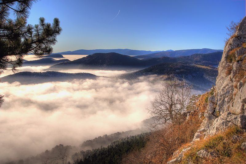
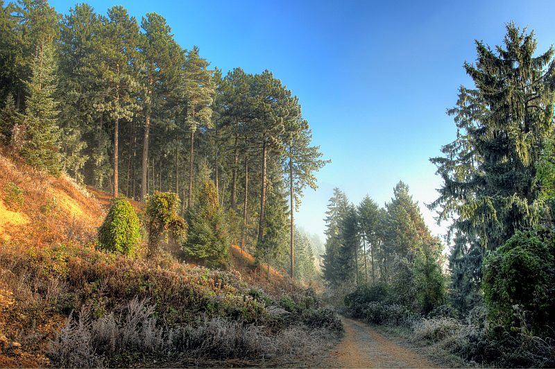
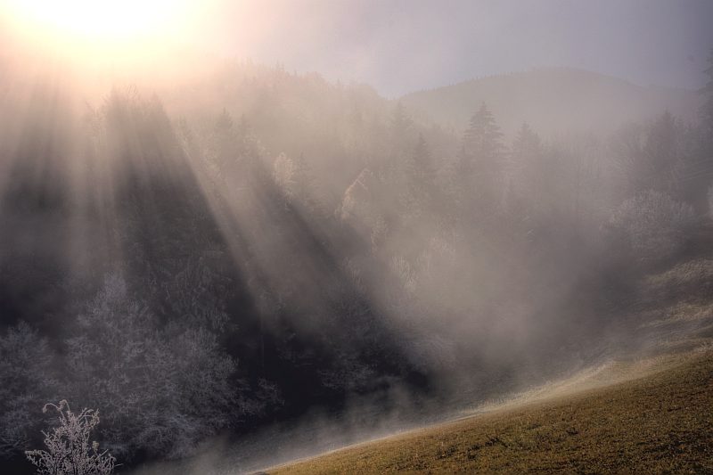
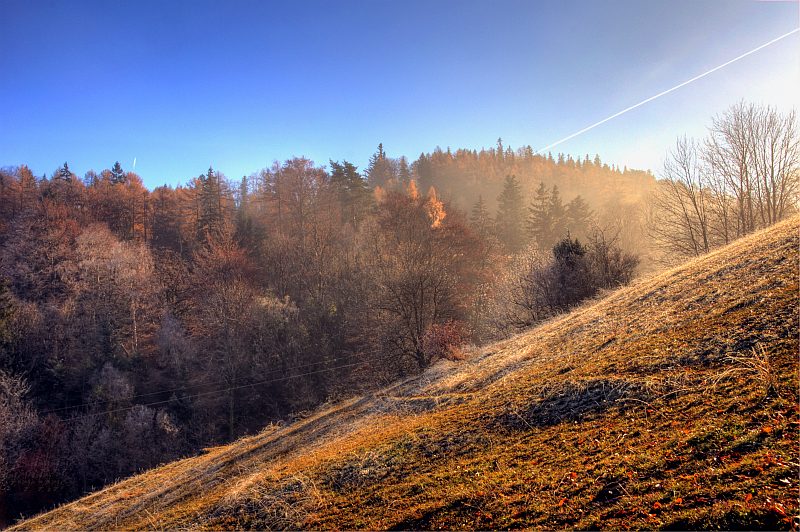
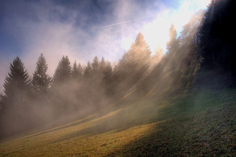
Touching the mist, I have to walk down a forest gravel road.
Back to the hoarfrost zone.
Back along the grassland to this morning´s fairy tale hill. Everything wrapped in mist now.
Back on the hill, the view to Puchberg is however free.
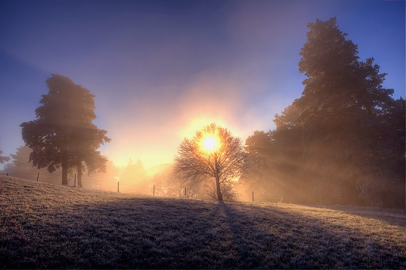
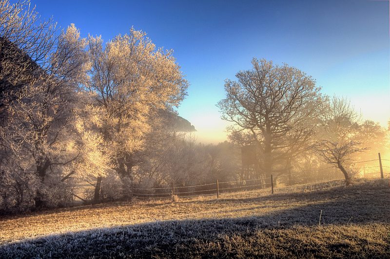
At the opposite side of the saddle and up the little valley. The sun distracts the mist - does it really? On the way back, this place is completely wrapped in mist.
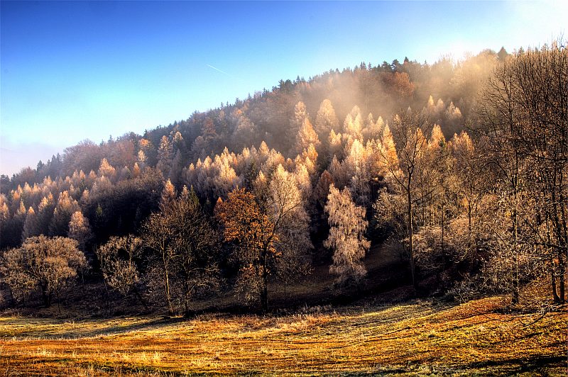
View over to the G´laend from "opposite". Once more in the hoarfrost zone.
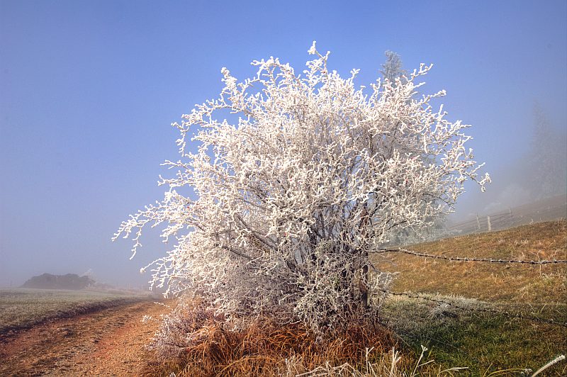
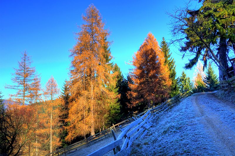
Frosty larches in the forest.
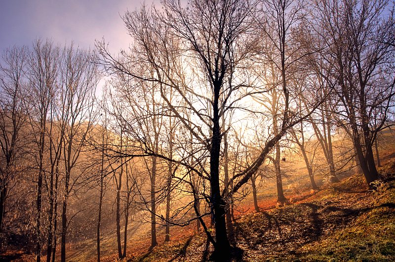
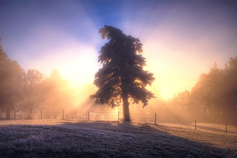
Sun and trees.
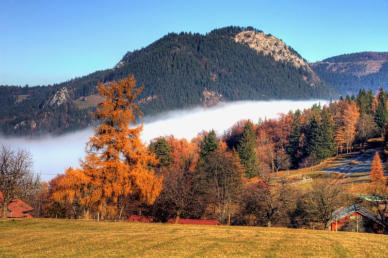
On the hill near the hamlet of Reitzenberg, vieew to the G´laend.
I wala over a large grassland up there, from where you can see Schneeberg behind Himberg (948 m).
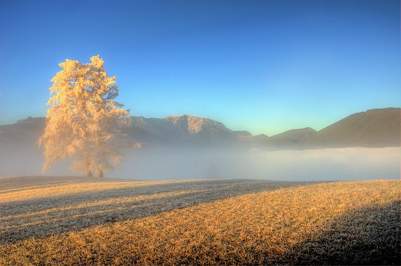
On shady grass places still hoarfrost till noon.
G´laend and Plackles to its right.
Near a lonly farm named Ranzenbach - here I turn back.
View over the hamlet of Reitzenberg to G´laend.
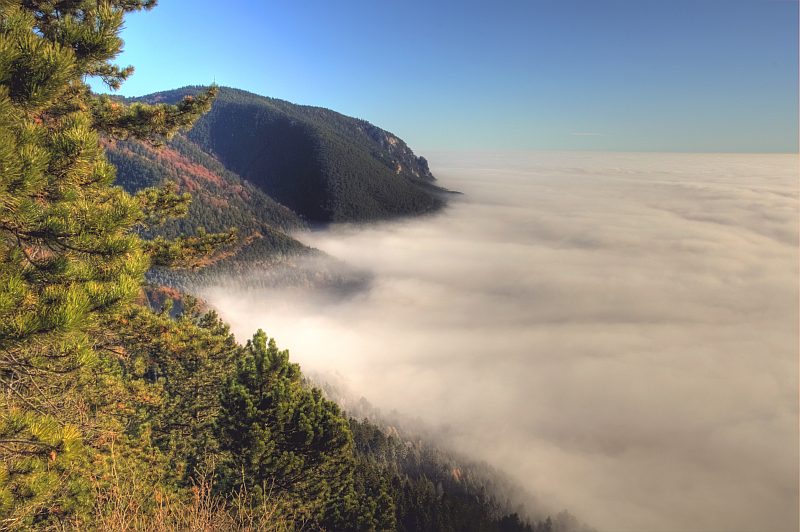
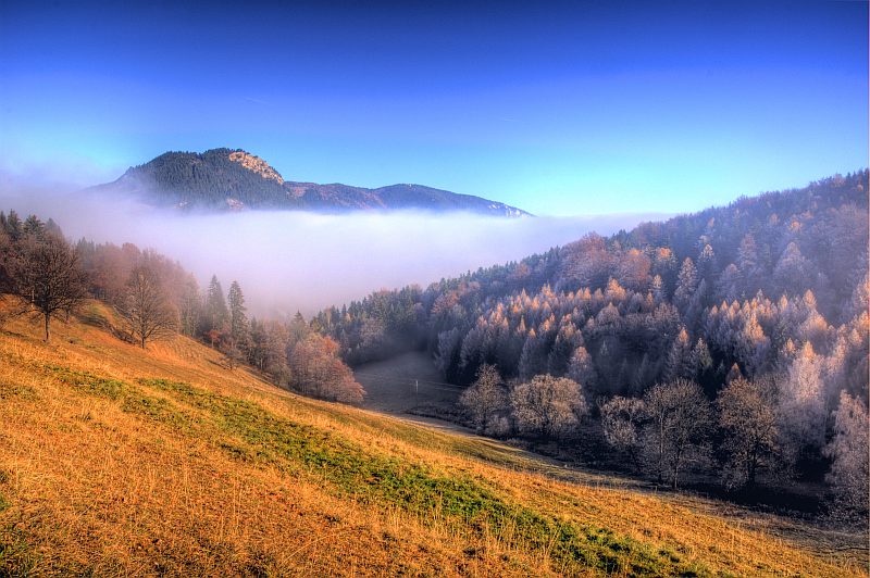
A last short detour to a small saddle - view in eastern direction. The lake of mist is reaching nearly ...
... to this place.
On the way back to Reitzenberg, an old forester´s lodge, hidden between the trees.